Aleck Low

Hill, Mountain in Derbyshire Derbyshire Dales

England

Aleck Low

Early morning view northwest to Biggin from field path
Early morning view northwest to Biggin from field path Credit: Colin Park

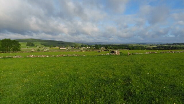
Aleck Low is a prominent hill located in the Derbyshire region of England. It stands at an elevation of approximately 305 meters (1,000 feet) above sea level, making it a notable feature of the local landscape. Situated near the village of Taddington, Aleck Low offers breathtaking panoramic views of the surrounding countryside.

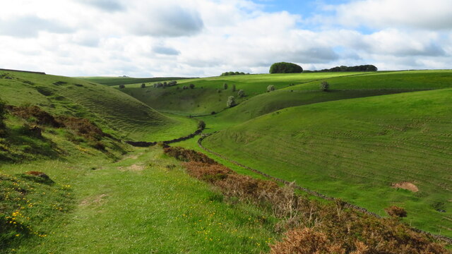
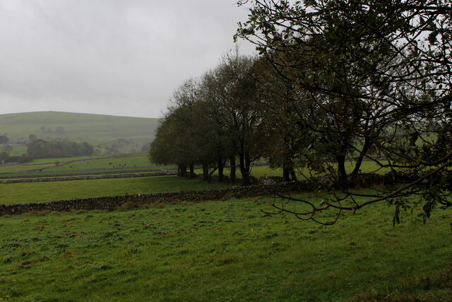
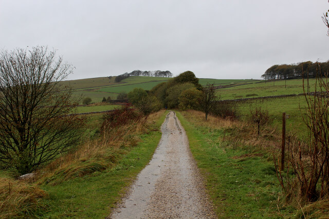
The hill is covered in lush green vegetation, with a mixture of grasses, heather, and shrubs adorning its slopes. Its gentle incline makes it accessible to hikers of various skill levels, attracting both locals and tourists alike. The summit provides an excellent vantage point to admire the beauty of the Peak District National Park, which stretches across the nearby area.

The name "Aleck Low" is believed to have originated from the Old English term "hlaw," meaning a hill or mound. The first part of the name, "Aleck," is thought to be derived from a personal name from the region's history. This hill has become a popular destination for outdoor enthusiasts, offering opportunities for walking, hiking, and nature photography.

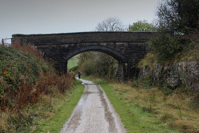
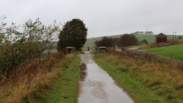
Visitors to Aleck Low can enjoy peaceful walks along its meandering footpaths, immersing themselves in the tranquility of the surrounding countryside. The hill provides a habitat for a variety of wildlife, including birds, rabbits, and other small mammals. It is also a favorite spot for birdwatchers, who flock to the area to observe the diverse avian species that inhabit or pass through the region.

Overall, Aleck Low is a picturesque hill in Derbyshire, offering visitors a chance to connect with nature and enjoy the stunning landscapes of the Peak District National Park.

If you have any feedback on the listing, please let us know in the comments section below.
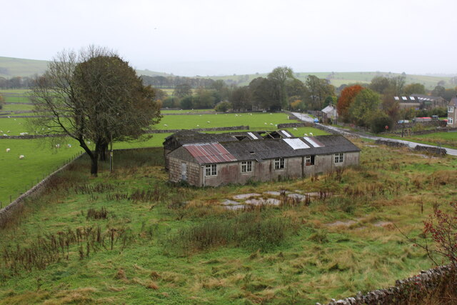
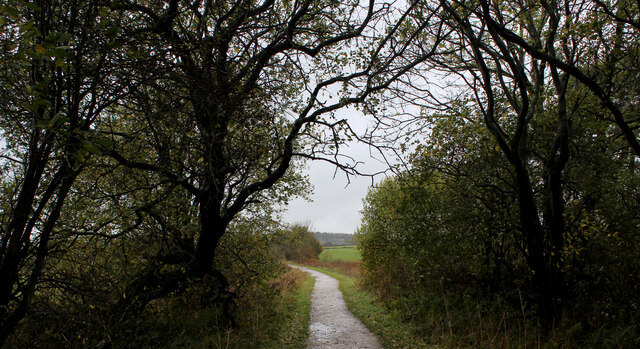
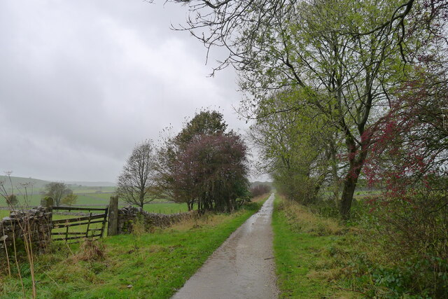
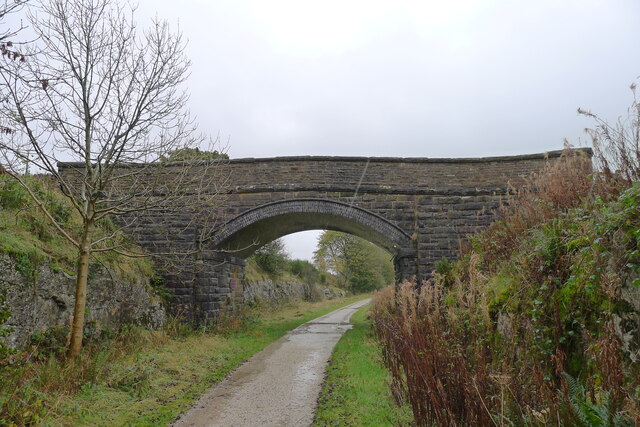
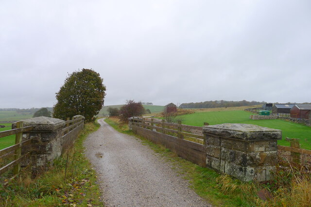
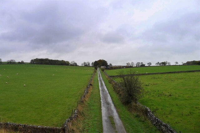
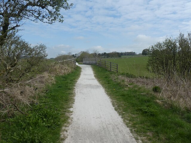
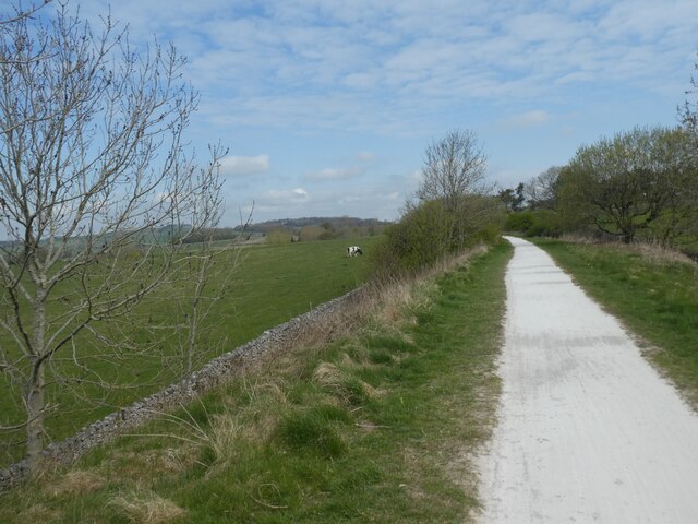
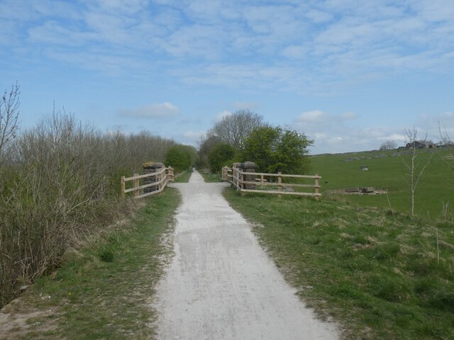
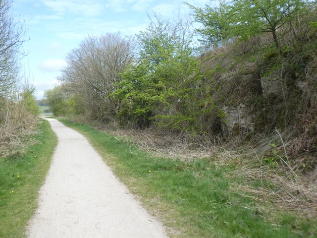
Aleck Low Images

Images are sourced within 2km of 53.132641/-1.7417631 or Grid Reference SK1759. Thanks to Geograph Open Source API. All images are credited.

Early morning view northwest to Biggin from field path
View southeast along Long Dale near Pikehall
Old Milestone, A515 In the parish of Hartington, buried in vegetation on the West side of the road.

Listed by Historic England see <span class="nowrap"><a title="https://historicengland.org.uk/listing/the-list/list-entry/1087841" rel="nofollow ugc noopener" href="https://historicengland.org.uk/listing/the-list/list-entry/1087841">Link</a><img style="margin-left:2px;" alt="External link" title="External link - shift click to open in new window" src="https://s1.geograph.org.uk/img/external.png" width="10" height="10"/></span>


Inscription: London / 148 / Derby / 22 Miles // Buxton / 11 Miles // Ashbourne / 9 Miles

Maker: J Haywood Junᴿ / Phoenix Foundry / Derby

Milestone Society National ID: DE_BXAB12
Old Milestone, A515
In the parish of Hartington, buried in vegetation on the West side of the road. Listed by Historic England see LinkExternal link Inscription: London / 148 / Derby / 22 Miles // Buxton / 11 Miles // Ashbourne / 9 Miles Maker: J Haywood Junᴿ / Phoenix Foundry / Derby Milestone Society National ID: DE_BXAB12
Defaced Milestone, A5012 In the right location indicated on the 1898 maps, with holes looking like it had carried a metal mileage plate. It looks to be serving as the wall end at a gated entrance, but not supporting the gate. Heritage Derbyshire list it see <span class="nowrap"><a title="https://her.derbyshire.gov.uk/Monument/MDR8751" rel="nofollow ugc noopener" href="https://her.derbyshire.gov.uk/Monument/MDR8751">Link</a><img style="margin-left:2px;" alt="External link" title="External link - shift click to open in new window" src="https://s1.geograph.org.uk/img/external.png" width="10" height="10"/></span>

Inscription: -

Milestone Society National ID: DE_NTNH33
Defaced Milestone, A5012
In the right location indicated on the 1898 maps, with holes looking like it had carried a metal mileage plate. It looks to be serving as the wall end at a gated entrance, but not supporting the gate. Heritage Derbyshire list it see LinkExternal link Inscription: - Milestone Society National ID: DE_NTNH33
Pastures between Heathcote and Biggin Countryside as seen from the Tissington Trail
Pastures between Heathcote and Biggin
Countryside as seen from the Tissington Trail
Tissington Trail near Biggin Farm access track crosses over the trail on a substantial bridge
Tissington Trail near Biggin
Farm access track crosses over the trail on a substantial bridge
Along the Tissington Trail near Biggin Section that once formed part of a railway link between Buxton and Ashbourne - now a popular venue for cyclists, walkers and the horse fraternity.
Along the Tissington Trail near Biggin
Section that once formed part of a railway link between Buxton and Ashbourne - now a popular venue for cyclists, walkers and the horse fraternity.
Tissington Trail crossing the Road from Biggin The trail crosses the minor road between Biggin and the A515
Tissington Trail crossing the Road from Biggin
The trail crosses the minor road between Biggin and the A515
Remains of Former Prisoner of War Huts near Biggin Housed Italian Prisoners of War - as seen from the Tissington Trail
Remains of Former Prisoner of War Huts near Biggin
Housed Italian Prisoners of War - as seen from the Tissington Trail
On the Tissington Traill The trail just to the north of Back Lane
On the Tissington Traill
The trail just to the north of Back Lane
The Tissington Trail north of Biggin
"Dream of Noise and Wheels and Coal and Steam" The title is from the plaque on the left pier.
"Dream of Noise and Wheels and Coal and Steam"
The title is from the plaque on the left pier.
The Tissington Trail The track bed of the former London and North Western Railway (Ashbourne to Buxton) crossing a minor road
The Tissington Trail
The track bed of the former London and North Western Railway (Ashbourne to Buxton) crossing a minor road
Back Lane leading to Bigginmoor Farm Viewed from the Tissington Trail
Back Lane leading to Bigginmoor Farm
Viewed from the Tissington Trail
Back Lane bridge on Tissington Trail This is a 13 mile leisure track from Ashbourne in the south to Parsley Hay in the north, where it joins the High Peak Trail. It is in joint usage as a cycling trail, a bridleway and a walking route. 
The Tissington Trail used to be part of the former railway between Ashbourne and Buxton.
The Pennine Bridleway has adopted part of the northern portion of the  route.
Back Lane bridge on Tissington Trail
This is a 13 mile leisure track from Ashbourne in the south to Parsley Hay in the north, where it joins the High Peak Trail. It is in joint usage as a cycling trail, a bridleway and a walking route. The Tissington Trail used to be part of the former railway between Ashbourne and Buxton. The Pennine Bridleway has adopted part of the northern portion of the route.
Tissington Trail with grazing land to the west This is a 13 mile leisure track from Ashbourne in the south to Parsley Hay in the north, where it joins the High Peak Trail. It is in joint usage as a cycling trail, a bridleway and a walking route. 
The Tissington Trail used to be part of the former railway between Ashbourne and Buxton.
The Pennine Bridleway has adopted part of the northern portion of the  route.
Tissington Trail with grazing land to the west
This is a 13 mile leisure track from Ashbourne in the south to Parsley Hay in the north, where it joins the High Peak Trail. It is in joint usage as a cycling trail, a bridleway and a walking route. The Tissington Trail used to be part of the former railway between Ashbourne and Buxton. The Pennine Bridleway has adopted part of the northern portion of the route.
Tissington Trail bridge This is a 13 mile leisure track from Ashbourne in the south to Parsley Hay in the north, where it joins the High Peak Trail. It is in joint usage as a cycling trail, a bridleway and a walking route. 
The Tissington Trail used to be part of the former railway between Ashbourne and Buxton.
The Pennine Bridleway has adopted part of the northern portion of the  route.
Tissington Trail bridge
This is a 13 mile leisure track from Ashbourne in the south to Parsley Hay in the north, where it joins the High Peak Trail. It is in joint usage as a cycling trail, a bridleway and a walking route. The Tissington Trail used to be part of the former railway between Ashbourne and Buxton. The Pennine Bridleway has adopted part of the northern portion of the route.
Tissington Trail in cutting south-east of Biggin This is a 13 mile leisure track from Ashbourne in the south to Parsley Hay in the north, where it joins the High Peak Trail. It is in joint usage as a cycling trail, a bridleway and a walking route. 
The Tissington Trail used to be part of the former railway between Ashbourne and Buxton.
The Pennine Bridleway has adopted part of the northern portion of the  route.
Tissington Trail in cutting south-east of Biggin
This is a 13 mile leisure track from Ashbourne in the south to Parsley Hay in the north, where it joins the High Peak Trail. It is in joint usage as a cycling trail, a bridleway and a walking route. The Tissington Trail used to be part of the former railway between Ashbourne and Buxton. The Pennine Bridleway has adopted part of the northern portion of the route.
Show me another place!

Aleck Low is located at Grid Ref: SK1759 (Lat: 53.132641, Lng: -1.7417631)

Administrative County: Derbyshire

District: Derbyshire Dales

Police Authority: Derbyshire

What 3 Words

///proposals.boxing.texted. Near Newhaven, Derbyshire

Nearby Locations

Aleck Low

Related Wikis

Nearby Amenities

Located within 500m of 53.132641,-1.7417631
Barrier: stile
Ele: 365.9047852
Material: stone
Source: survey;gps
Steps: 4
Stile: stepover
Lat/Long: 53.1301745/-1.7361737
Barrier: stile
Ele: 377.9210205
Steps: 3
Stile: wall
Lat/Long: 53.1302919/-1.7398798
Barrier: stile
Ele: 380.8051758
Steps: 4
Stile: wall
Lat/Long: 53.1303533/-1.7426686
Barrier: stile
Ele: 377.6807861
Material: stone
Source: survey;gps
Stile: squeezer
Lat/Long: 53.1301494/-1.7450734
Archaeological Site: tumulus
Ele: 393
Historic: archaeological_site
Lat/Long: 53.1323395/-1.7391376
Heritage: yes
Historic: stone
Wikidata: Q17650603
Lat/Long: 53.1321665/-1.7398819
Aleck Low
Ele: 398
Natural: peak
Source: https://www.hill-bagging.co.uk/mountaindetails.php?qu=S&rf=16550
Lat/Long: 53.1326853/-1.7419397
Man Made: survey_point
Lat/Long: 53.1321644/-1.7397899
The data included in this document is from www.openstreetmap.org. The data is made available under ODbL.

Have you been to Aleck Low?

Leave your review of Aleck Low below (or comments, questions and feedback).