Mark Hill
Hill, Mountain in Yorkshire Richmondshire
England
Mark Hill
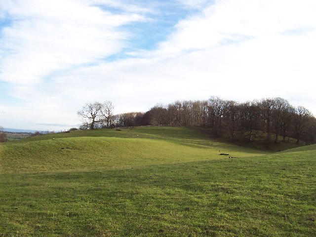
Mark Hill is a prominent landmark located in the county of Yorkshire, England. Rising to an elevation of 283 meters (928 feet), it is often referred to as Mark Mountain due to its relatively high peak compared to the surrounding area. Situated near the village of Swinton, Mark Hill offers breathtaking panoramic views of the Yorkshire Dales National Park and the adjacent countryside.
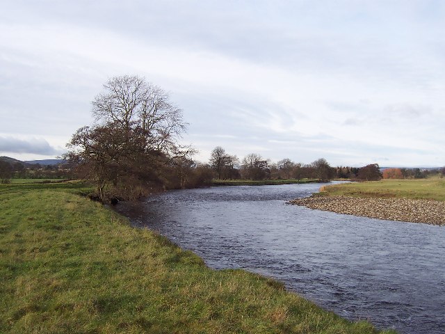
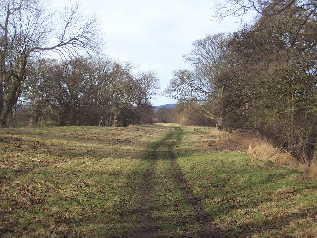
The hill is primarily composed of limestone, a characteristic common to the region, and is known for its rugged terrain. It attracts outdoor enthusiasts and hikers who enjoy the challenge of its steep slopes and rocky paths. The summit of Mark Hill provides a vantage point from which one can appreciate the picturesque landscape, with rolling hills, verdant valleys, and meandering rivers.
The area surrounding Mark Hill is rich in flora and fauna, with a diverse range of plant species and wildlife. It is home to various bird species, including kestrels and peregrine falcons, which can be spotted soaring through the skies. The hillside is also adorned with vibrant wildflowers during the spring and summer months, creating a colorful spectacle for visitors.
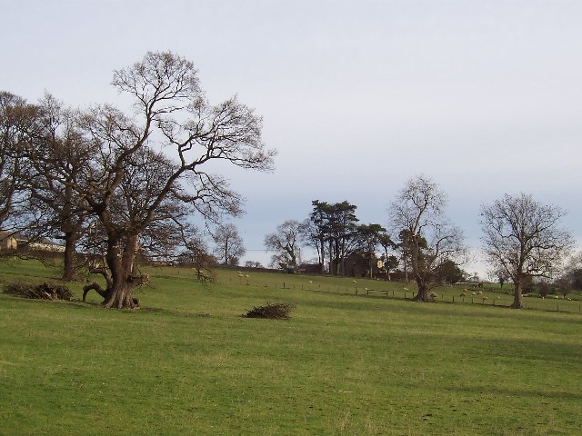
Mark Hill holds historical significance as well. It is believed to have been a site of human activity dating back to the Neolithic era, with evidence of ancient burial mounds found in the vicinity. The hill has also been used for agriculture over the centuries, with sheep grazing on its slopes and fields.
Overall, Mark Hill stands as an iconic natural landmark in Yorkshire, offering visitors an opportunity to immerse themselves in the beauty of the region's countryside and explore its rich history.
If you have any feedback on the listing, please let us know in the comments section below.
Mark Hill Images
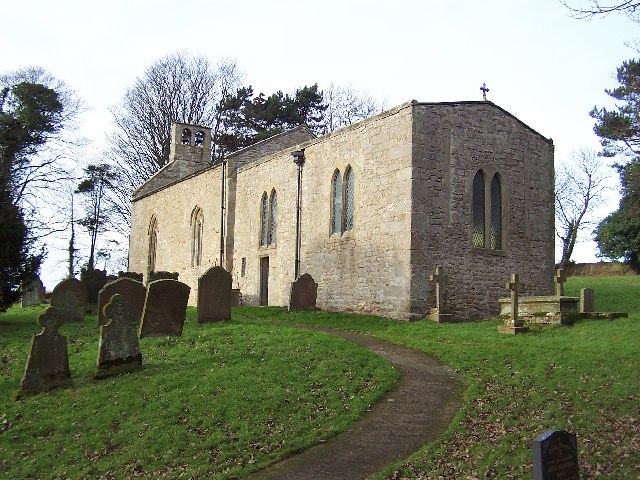
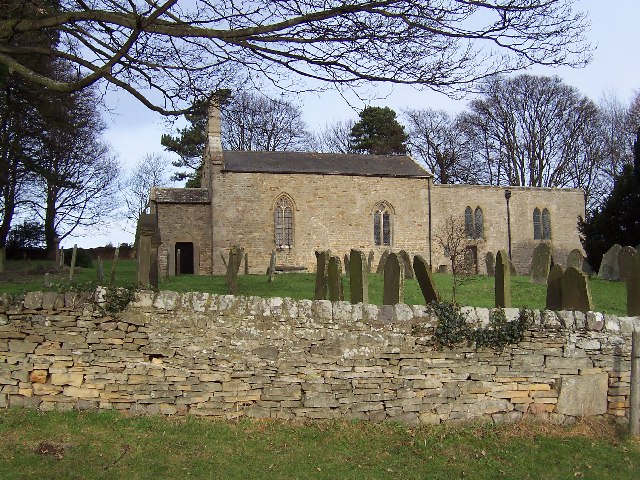
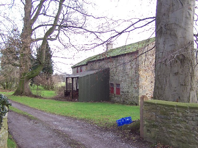
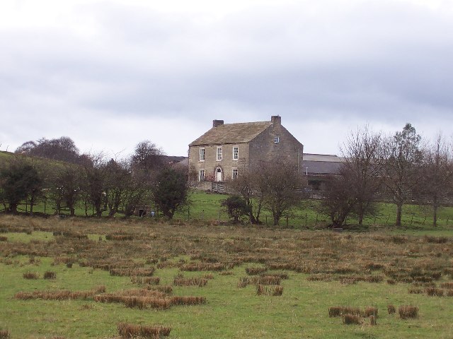
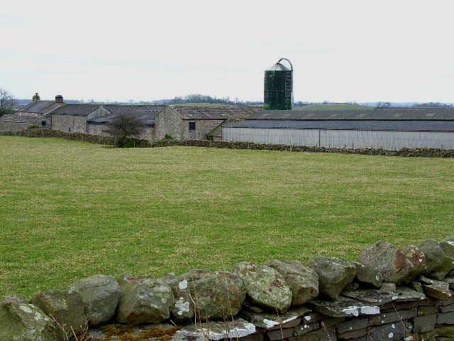
Images are sourced within 2km of 54.267935/-1.7348333 or Grid Reference SE1785. Thanks to Geograph Open Source API. All images are credited.
Mark Hill is located at Grid Ref: SE1785 (Lat: 54.267935, Lng: -1.7348333)
Division: North Riding
Administrative County: North Yorkshire
District: Richmondshire
Police Authority: North Yorkshire
What 3 Words
///reprints.mastering.verges. Near Masham, North Yorkshire
Nearby Locations
Related Wikis
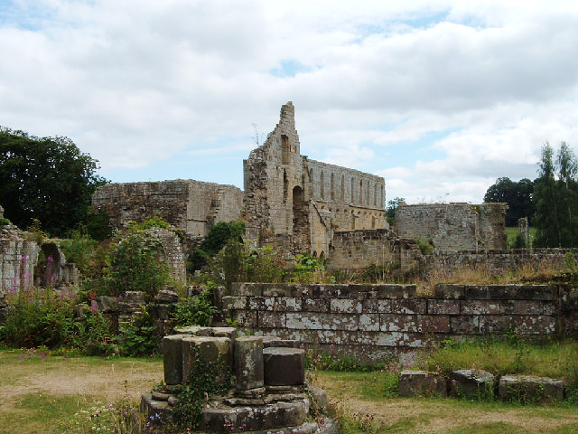
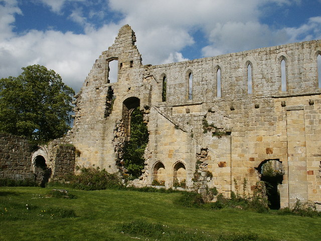
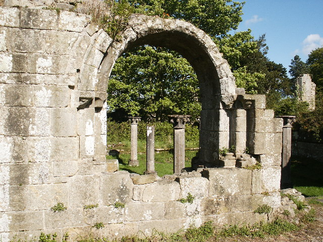
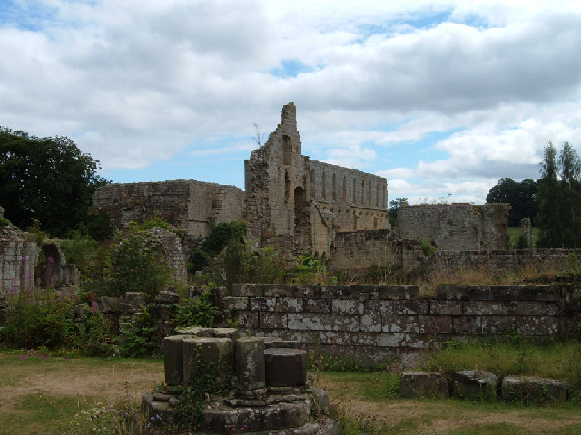
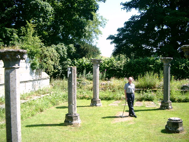
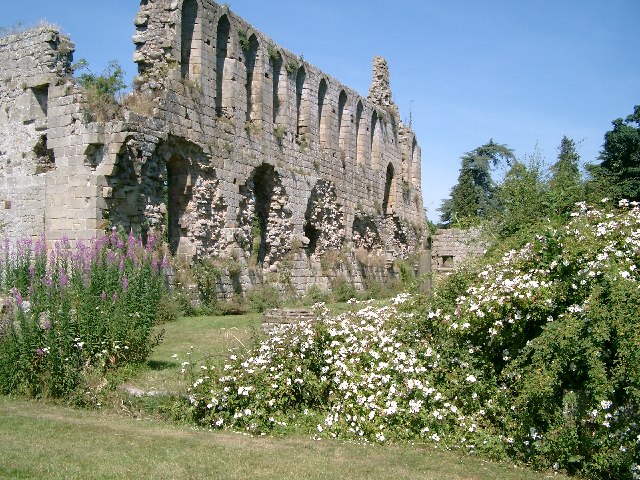
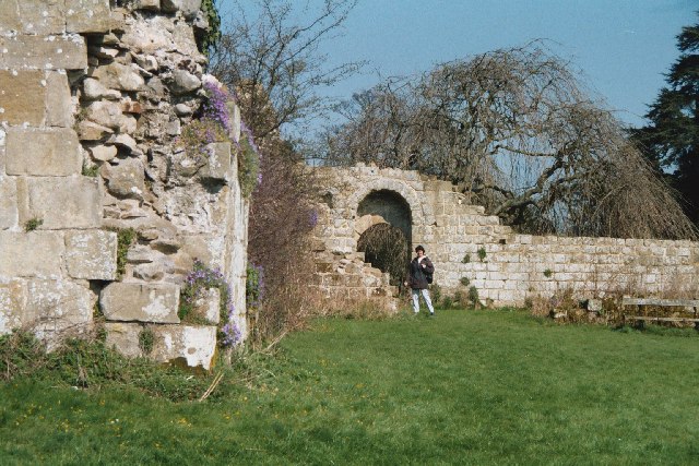
Jervaulx Abbey
Jervaulx Abbey in East Witton in North Yorkshire, 14 mi (23 km) north-west of the city of Ripon, was one of the great Cistercian abbeys of Yorkshire, England...

Thornton Steward
Thornton Steward is a small village and civil parish in North Yorkshire, England, near Wensleydale, with a population of 100–200, measured at 199 in the...

Thornton Steward Reservoir
Thornton Steward Reservoir is a reservoir north of the village of Thornton Steward in North Yorkshire, England. It is owned by Yorkshire Water, and supplies...

Ellingstring
Ellingstring is a village and civil parish in Wensleydale in North Yorkshire, England, about 5 miles (8 km) south-east of Leyburn, and 3.5 miles (5.6 km...

River Cover
The River Cover is a river in the Yorkshire Dales in North Yorkshire, England. The Yorkshire Dales Rivers Trust has a remit to conserve the ecological...

East Witton
East Witton is a village and civil parish in Wensleydale in North Yorkshire, England. It lies south of Leyburn, in the Richmondshire district. Richard...
Hutton Hang
Hutton Hang is a hamlet and civil parish in the Richmondshire district of North Yorkshire, England. The population taken at the 2011 census was less than...
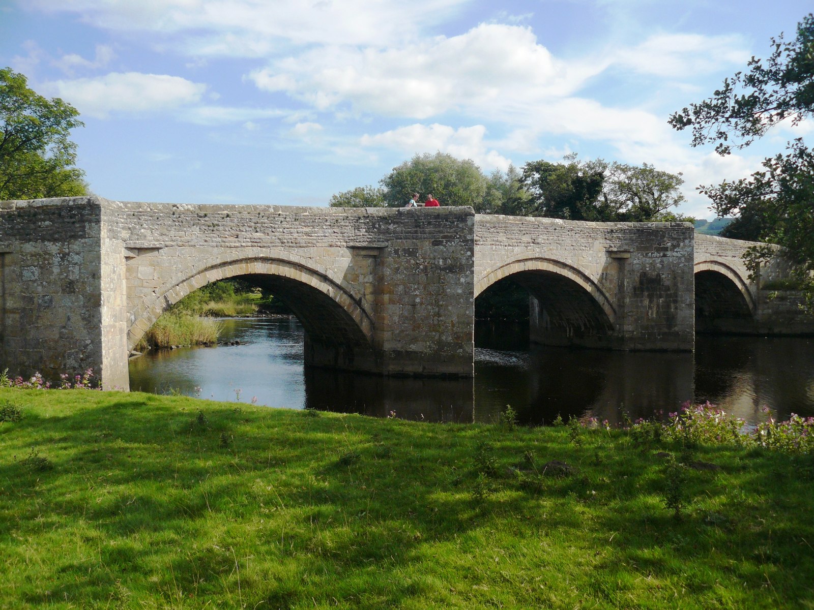
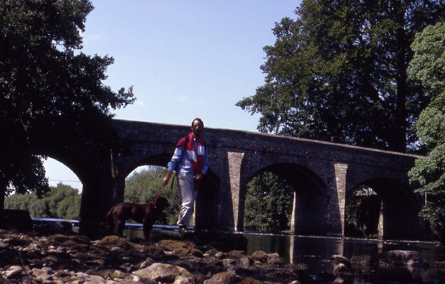
Ulshaw Bridge
Ulshaw Bridge is a hamlet on the River Ure, near to Middleham, in North Yorkshire, England. The hamlet derives its name partly from the Medieval stone...
Nearby Amenities
Located within 500m of 54.267935,-1.7348333Have you been to Mark Hill?
Leave your review of Mark Hill below (or comments, questions and feedback).