Ice House Belt
Wood, Forest in Yorkshire Richmondshire
England
Ice House Belt
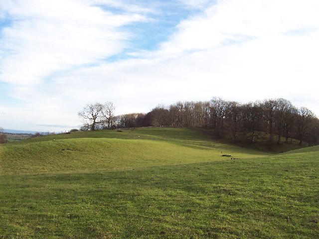
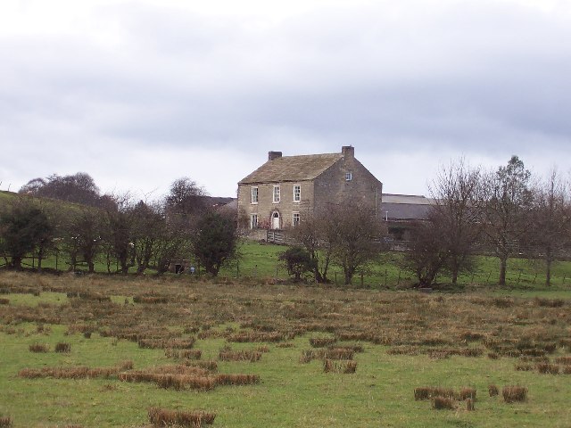
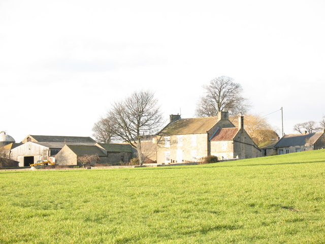
Ice House Belt is a prominent feature located in Yorkshire, England. Situated within a dense woodland, it is known for its historical significance and natural beauty. The Ice House Belt is a strip of land that once housed a series of ice houses, which were used to store ice for various purposes during the 18th and 19th centuries.
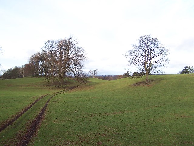
The belt itself is characterized by a dense forest, primarily composed of oak and beech trees. These towering trees provide shade and create a tranquil atmosphere, making it a popular destination for nature lovers and hikers alike. The woodlands are also home to a diverse range of wildlife, including various bird species, squirrels, and deer.
The Ice House Belt derives its name from the ice houses that were once present in the area. These structures were used to store ice during the colder months, which was then utilized throughout the year for various purposes such as preserving food and cooling beverages. The ice was often harvested from nearby lakes or rivers during the winter months and transported to the ice houses for storage.
Today, the Ice House Belt serves as a reminder of the region's historical past and offers visitors a unique glimpse into the practices of the past. The woodland provides a serene setting for outdoor activities, such as walking, picnicking, and birdwatching. It is a place where history and nature intertwine, creating a truly remarkable experience for all who visit.
If you have any feedback on the listing, please let us know in the comments section below.
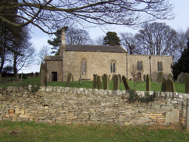
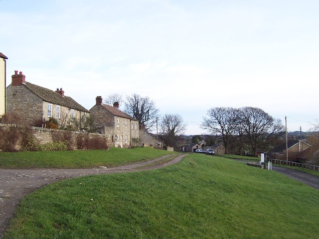
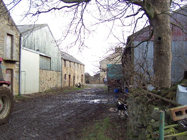
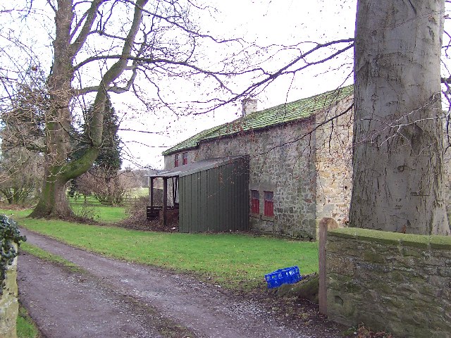
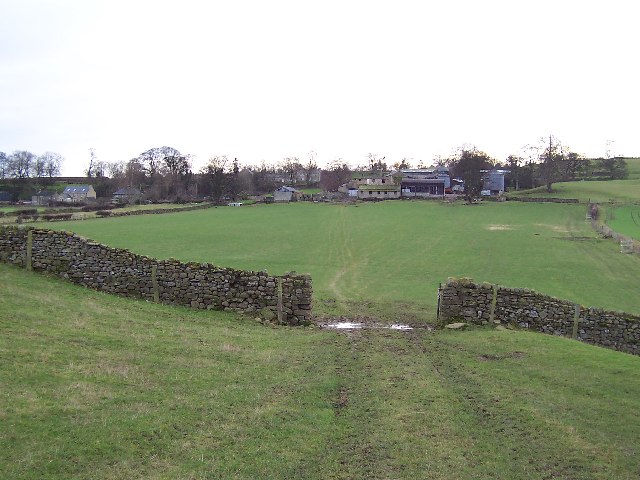
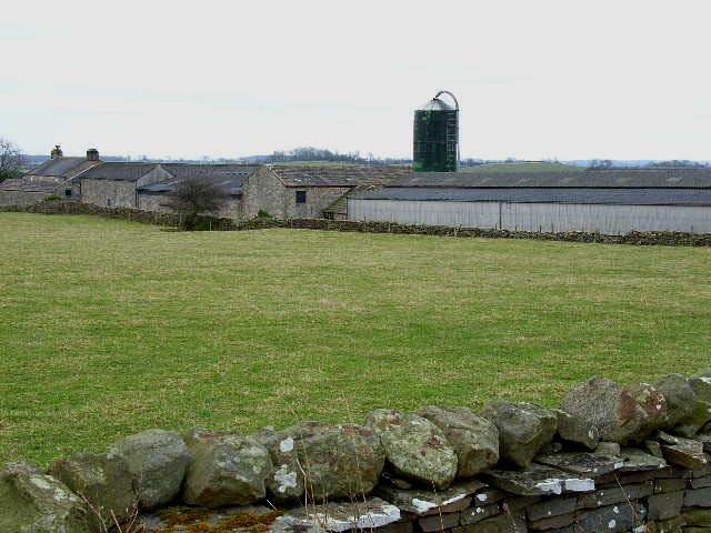
Ice House Belt Images
Images are sourced within 2km of 54.267774/-1.7272034 or Grid Reference SE1785. Thanks to Geograph Open Source API. All images are credited.
Ice House Belt is located at Grid Ref: SE1785 (Lat: 54.267774, Lng: -1.7272034)
Division: North Riding
Administrative County: North Yorkshire
District: Richmondshire
Police Authority: North Yorkshire
What 3 Words
///navy.lease.goodnight. Near Masham, North Yorkshire
Nearby Locations
Related Wikis
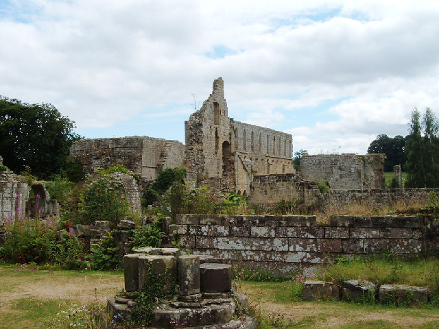
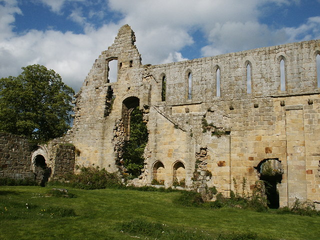
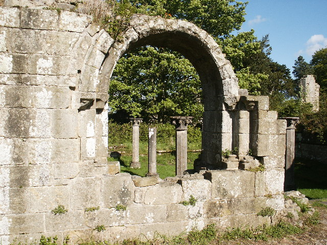
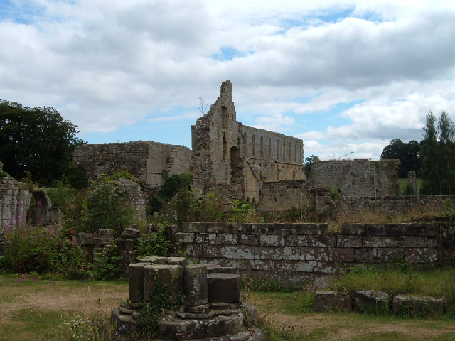
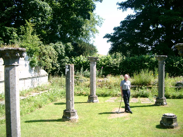
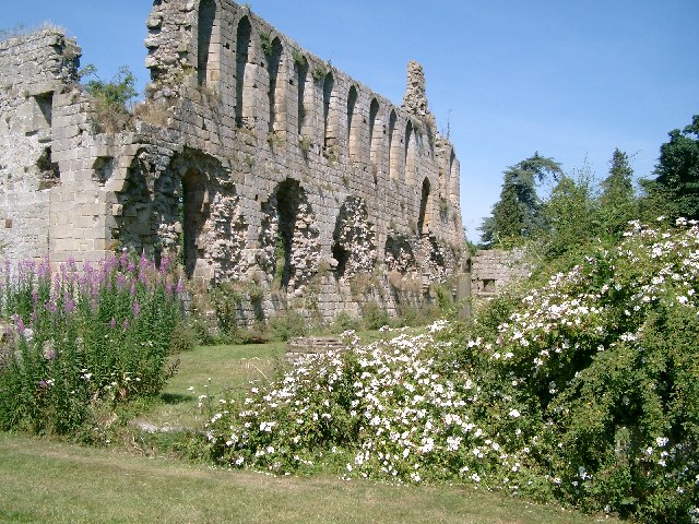
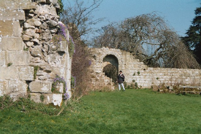
Jervaulx Abbey
Jervaulx Abbey in East Witton in North Yorkshire, 14 mi (23 km) north-west of the city of Ripon, was one of the great Cistercian abbeys of Yorkshire, England...

Thornton Steward
Thornton Steward is a small village and civil parish in North Yorkshire, England, near Wensleydale, with a population of 100–200, measured at 199 in the...

Thornton Steward Reservoir
Thornton Steward Reservoir is a reservoir north of the village of Thornton Steward in North Yorkshire, England. It is owned by Yorkshire Water, and supplies...

Ellingstring
Ellingstring is a village and civil parish in Wensleydale in North Yorkshire, England, about 5 miles (8 km) south-east of Leyburn, and 3.5 miles (5.6 km...
Rookwith
Rookwith is a hamlet and civil parish in the Hambleton district of North Yorkshire, England, about 4 miles (6.4 km) west of Bedale and near the flow of...
High Ellington
High Ellington is a village in lower Wensleydale in North Yorkshire, England, about 2.5 miles (4 km) north-west of Masham. The smaller village of Low...
Hutton Hang
Hutton Hang is a hamlet and civil parish in the Richmondshire district of North Yorkshire, England. The population taken at the 2011 census was less than...

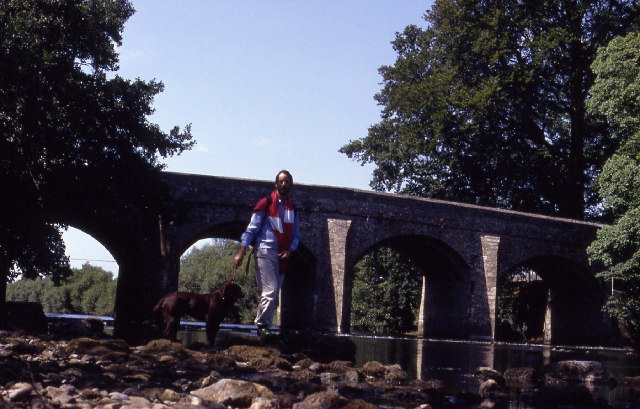
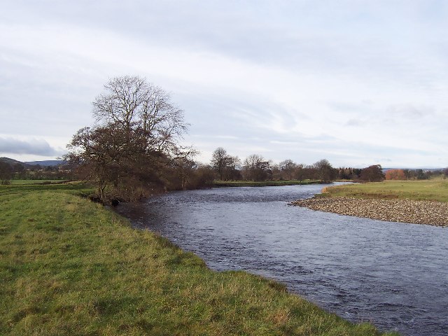
River Cover
The River Cover is a river in the Yorkshire Dales in North Yorkshire, England. The Yorkshire Dales Rivers Trust has a remit to conserve the ecological...
Nearby Amenities
Located within 500m of 54.267774,-1.7272034Have you been to Ice House Belt?
Leave your review of Ice House Belt below (or comments, questions and feedback).