Larches Plantation

Wood, Forest in Yorkshire

England

Larches Plantation

Bridge on the Trans Pennine Trail diversion This is a new (permanent) bridge on the Trans Pennine Trail diversion at Dunford Bridge. It came into use in late 2021. The diversion will remain until seven electricity pylons have been removed. The cable will be buried under the TPT.
Bridge on the Trans Pennine Trail diversion Credit: Dave Pickersgill

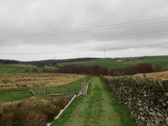
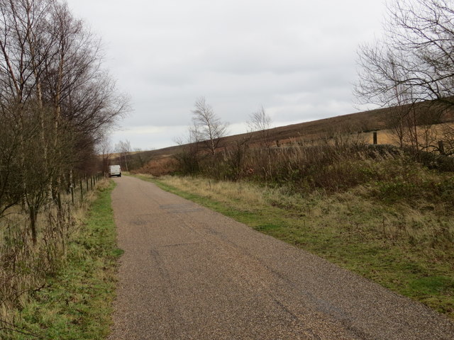
Larches Plantation, located in Yorkshire, is a picturesque wood and forest area that covers a vast expanse of land. It is renowned for its breathtaking beauty and diverse ecosystem, attracting nature enthusiasts and outdoor adventurers alike.

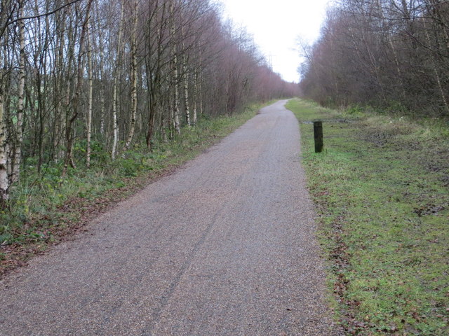
The plantation primarily consists of larch trees, which give the area its name. These coniferous trees dominate the landscape with their vibrant green foliage during the summer months, transforming into a stunning golden hue in autumn. The plantation is known for its dense tree canopy, which provides a tranquil and secluded atmosphere for visitors.

As a designated nature reserve, Larches Plantation is home to a wide array of wildlife. Birdwatchers can spot various avian species, including woodpeckers, thrushes, and owls, as they nest and forage in the woodland. Squirrels and rabbits are also commonly seen scurrying through the undergrowth.

The plantation offers numerous walking trails and paths, allowing visitors to explore the area at their own pace. These trails vary in difficulty, catering to both casual strollers and avid hikers. The enchanting woodland provides a peaceful escape from the hustle and bustle of everyday life, making it an ideal destination for relaxation and rejuvenation.

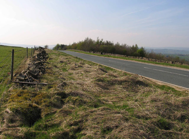
Larches Plantation is easily accessible, with ample parking facilities and well-maintained paths. Additionally, there are picnic areas and benches scattered throughout the area, providing the perfect spot to enjoy a packed lunch amidst the natural surroundings.

Overall, Larches Plantation in Yorkshire is a captivating destination that showcases the beauty of woodlands and forests. Its rich biodiversity, stunning landscapes, and accessible amenities make it a must-visit location for nature lovers and outdoor enthusiasts.

If you have any feedback on the listing, please let us know in the comments section below.

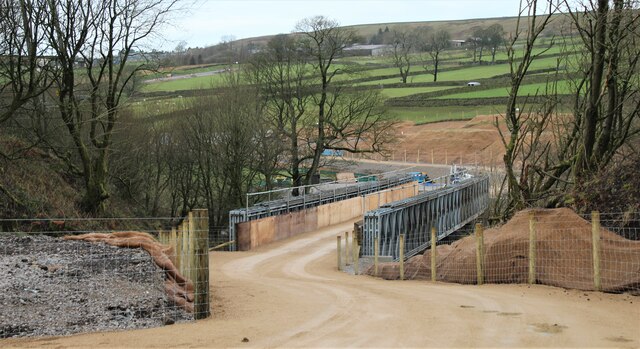
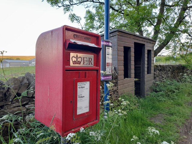
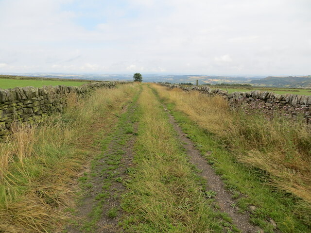
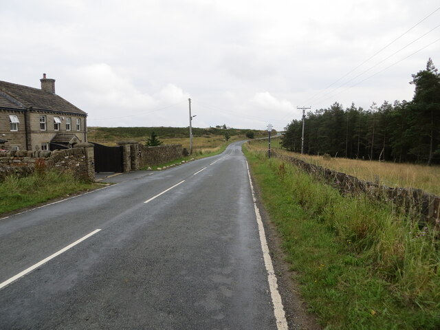
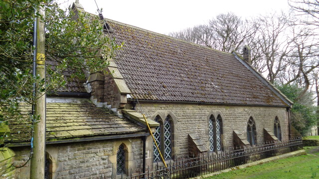
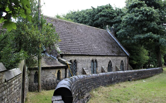
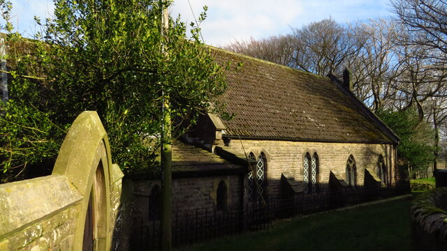
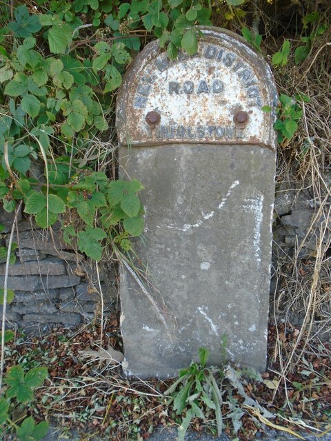
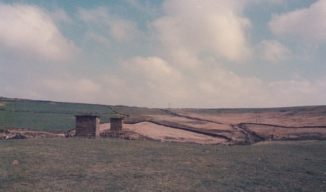
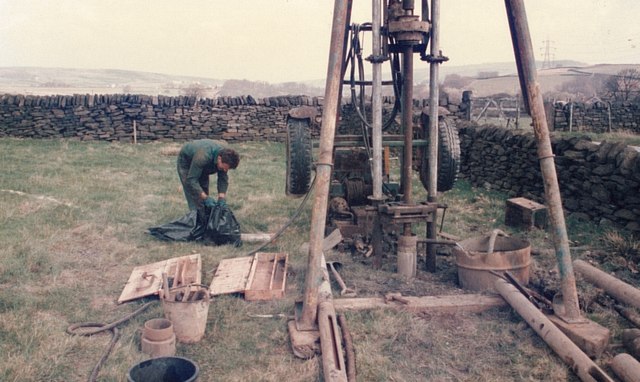
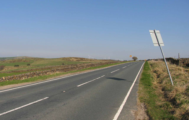
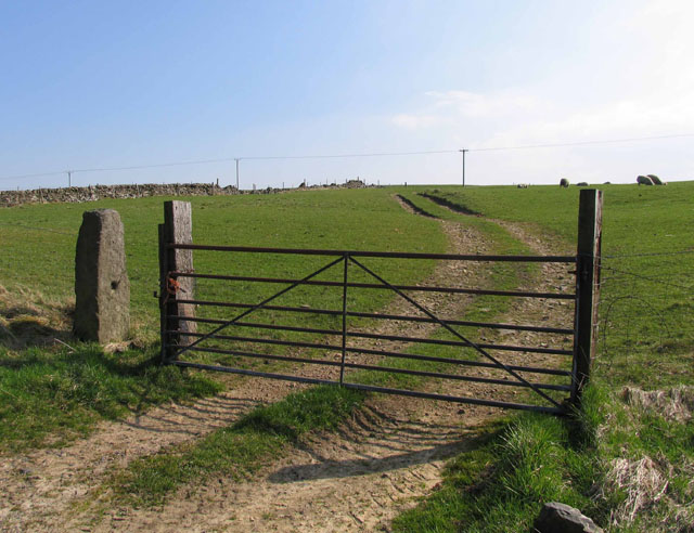
Larches Plantation Images

Images are sourced within 2km of 53.530809/-1.7319424 or Grid Reference SE1703. Thanks to Geograph Open Source API. All images are credited.

Bridge on the Trans Pennine Trail diversion This is a new (permanent) bridge on the Trans Pennine Trail diversion at Dunford Bridge. It came into use in late 2021. The diversion will remain until seven electricity pylons have been removed. The cable will be buried under the TPT.
Bridge on the Trans Pennine Trail diversion
This is a new (permanent) bridge on the Trans Pennine Trail diversion at Dunford Bridge. It came into use in late 2021. The diversion will remain until seven electricity pylons have been removed. The cable will be buried under the TPT.
Post Box at Townhead S36 698. Royal Mail list this box as 'Townhead'.
Post Box at Townhead
S36 698. Royal Mail list this box as 'Townhead'.
Wall enclosed track near Law Head Looking north-westward. Use by the Barnsley Boundary Walk.
Wall enclosed track near Law Head
Looking north-westward. Use by the Barnsley Boundary Walk.
Bedding Edge Road at Law Bottom Cottage Looking north-eastward.
Bedding Edge Road at Law Bottom Cottage
Looking north-eastward.
Church of St Ann At Carlecotes Hall
Church of St Ann
At Carlecotes Hall
Old milestone This, once sad looking, sunken milestone at Crow Edge had, in 2017 been dug out and the wall behind it repaired.   It is one of the 615 milestones erected in 1893/94 by the family firm of Gill and Frank Stead of Mirfield for the newly-formed West Riding County Council.  Over half are still to be found by the roadside all over the old West Riding.   This one has been smartly painted in a similar pattern to several others in this part of Yorkshire.
Old milestone
This, once sad looking, sunken milestone at Crow Edge had, in 2017 been dug out and the wall behind it repaired. It is one of the 615 milestones erected in 1893/94 by the family firm of Gill and Frank Stead of Mirfield for the newly-formed West Riding County Council. Over half are still to be found by the roadside all over the old West Riding. This one has been smartly painted in a similar pattern to several others in this part of Yorkshire.
St Ann's Church, Carlecotes
Old milestone The remains of a West Riding CC milestone from 1893/94.   It lost its attachment sometime during the last quarter of the 20C.   Legends-lhs-HUDDERSFILD/10½ MILES/HOLMFIRTH/5 MILES.   Rhs-SHEFFIELD/16 MILES.   Top-NEW MILL DISTRICT/ROAD/THURLSTONE.   It is on the A616 just south of the crossroads with the B6106.   Although damaged it is Grade II listed 1151099.
Old milestone
The remains of a West Riding CC milestone from 1893/94. It lost its attachment sometime during the last quarter of the 20C. Legends-lhs-HUDDERSFILD/10½ MILES/HOLMFIRTH/5 MILES. Rhs-SHEFFIELD/16 MILES. Top-NEW MILL DISTRICT/ROAD/THURLSTONE. It is on the A616 just south of the crossroads with the B6106. Although damaged it is Grade II listed 1151099.
Inverted siphon The two manholes are the shafts for an inverted siphon crossing Calf Hey Lane
Inverted siphon
The two manholes are the shafts for an inverted siphon crossing Calf Hey Lane
Shell and auger drilling Geotechnical investigation for a new raw water pipeline to Langsett
Shell and auger drilling
Geotechnical investigation for a new raw water pipeline to Langsett
The Newly Surfaced Path across Reddishaw Knoll Looking north-westward.
The Newly Surfaced Path across Reddishaw Knoll
Looking north-westward.
The Trans Pennine Trail near Rolly Holme Looking eastward along the former railway line.
The Trans Pennine Trail near Rolly Holme
Looking eastward along the former railway line.
The Trans Pennine Trail to the south of Townhead Looking eastward along the disused railway line.
The Trans Pennine Trail to the south of Townhead
Looking eastward along the disused railway line.
B6106 towards Holmfirth
B6106 towards Penistone
Gateway into field Note the stone gatepost to the left.
Gateway into field
Note the stone gatepost to the left.
Show me another place!

Larches Plantation is located at Grid Ref: SE1703 (Lat: 53.530809, Lng: -1.7319424)

Division: West Riding

Unitary Authority: Barnsley

Police Authority: South Yorkshire

What 3 Words

///ruffling.hillside.tries. Near Holmfirth, West Yorkshire

Related Wikis

Carlecotes

Carlecotes is a village in the metropolitan borough of Barnsley in South Yorkshire, England. Carlecotes is within Dunford civil parish. The village is...

Crow Edge

Crow Edge is a hamlet in Dunford civil parish, situated on the A616, two miles southeast of Hepworth, West Yorkshire in the metropolitan borough of Barnsley...

Dunford

Dunford is a civil parish in the Metropolitan Borough of Barnsley, 14.5 miles (23.3 km) northwest of Sheffield in South Yorkshire, England. It lies in...

Hazlehead Bridge railway station

Hazlehead Bridge railway station was a railway station on the Sheffield, Ashton-under-Lyne and Manchester Railway's Woodhead Line. It served villages scattered...

Nearby Amenities

Located within 500m of 53.530809,-1.7319424
Bus Stop
Brook Hill Lane
Alt Name: Brook Hill Lane
Naptan AltCommonName: Brook Hill Lane
Naptan AtcoCode: 370050988
Naptan Bearing: SE
Naptan CommonName: Brook Hill Lane
Naptan Indicator: 50988
Naptan Landmark: 50988
Naptan PlusbusZoneRef: ROTHCEN
Naptan Street: Brook Hill Lane
Naptan Verified: no
Source: naptan_import
Lat/Long: 53.5278603/-1.7336848
Bus Stop
Brook Hill Lane
Alt Name: Brook Hill Lane
Naptan AltCommonName: Brook Hill Lane
Naptan AtcoCode: 370055418
Naptan Bearing: NW
Naptan CommonName: Brook Hill Lane
Naptan Indicator: 55418
Naptan Landmark: OUTSIDE PHONE BOX
Naptan PlusbusZoneRef: ROTHCEN
Naptan Street: Brook Hill Lane
Naptan Verified: no
Source: naptan_import
Lat/Long: 53.5276894/-1.7337127
Give Way
Direction: backward
Lat/Long: 53.5300905/-1.7321404
Topping Moor
Place: locality
Lat/Long: 53.529746/-1.7379964
Generator Method: wind_turbine
Generator Source: wind
Generator Type: horizontal_axis
Power: generator
Lat/Long: 53.5343265/-1.7306421
Generator Method: wind_turbine
Generator Source: wind
Generator Type: horizontal_axis
Power: generator
Lat/Long: 53.5329961/-1.72564
Post Box
Collection Plate Date: 2017-07-19
Collection Times: Mo-Fr 16:00; Sa 09:00
Operator: Royal Mail
Post Box Type: lamp
Ref: S36 415
Royal Cypher: EIIR
Royal Cypher Wikidata: Q33102113
Source: survey
Lat/Long: 53.5277488/-1.7337563
Telephone
Booth: K6
Covered: booth
Man Made: telephone_box
Lat/Long: 53.5277682/-1.7337729
Barrier: block
Material: stone
Lat/Long: 53.5306284/-1.7260397
Barrier: stile
Note: The top stones of the wall have been removed.
Lat/Long: 53.5302634/-1.7321193
Marker: aerial
Lat/Long: 53.5300254/-1.7322048
Marker: aerial
Lat/Long: 53.5284412/-1.7258444
The data included in this document is from www.openstreetmap.org. The data is made available under ODbL.

Have you been to Larches Plantation?

Leave your review of Larches Plantation below (or comments, questions and feedback).