The Lake

Lake, Pool, Pond, Freshwater Marsh in Yorkshire Harrogate

England

The Lake

Arl Cafe and Waste Not, Main Street, Burley-in-Wharfedale
Arl Cafe and Waste Not, Main Street, Burley-in-Wharfedale Credit: habiloid

The Lake, Yorkshire, is a picturesque body of water located in the county of Yorkshire, England. This natural feature is a popular destination for locals and tourists alike, offering a tranquil and scenic environment for outdoor activities and relaxation.

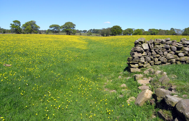
Spanning over several acres, The Lake is characterized by its crystal-clear freshwater and the surrounding lush vegetation. It is nestled within a serene and peaceful landscape, providing a perfect escape from the hustle and bustle of city life.

The lake is home to a wide variety of flora and fauna, making it a haven for nature enthusiasts and wildlife lovers. Visitors can spot various species of water birds, such as ducks, swans, and herons, gracefully gliding across the surface of the lake. Fishermen are also drawn to The Lake, as it is known for its abundance of freshwater fish, including trout and carp.

Surrounding the lake, there are well-maintained walking trails and picnic areas, allowing visitors to fully immerse themselves in the natural beauty of the surroundings. The calm waters of The Lake also attract those interested in water sports, such as kayaking and paddleboarding.

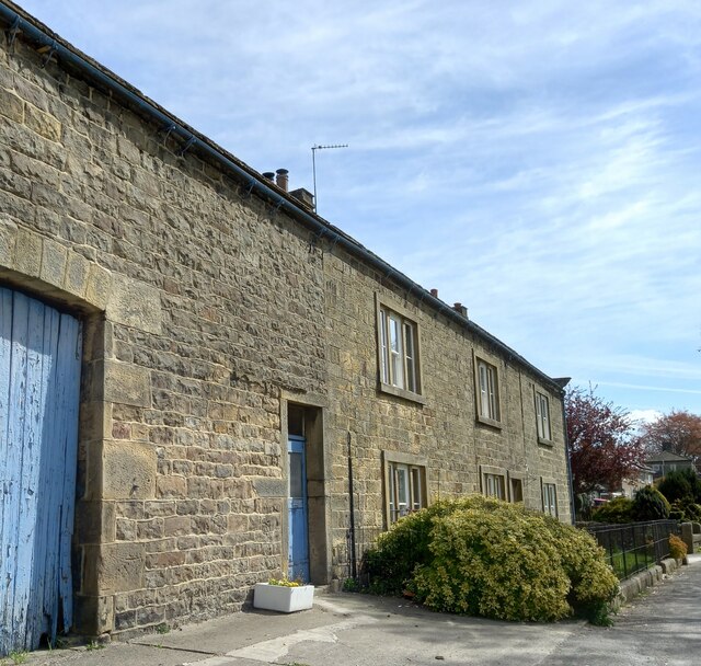
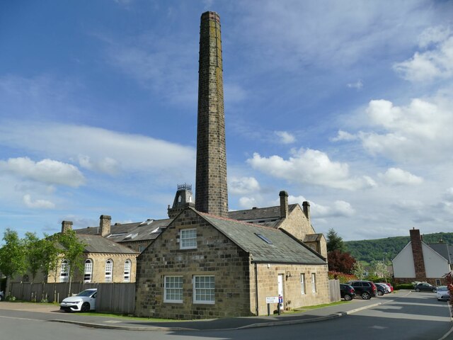
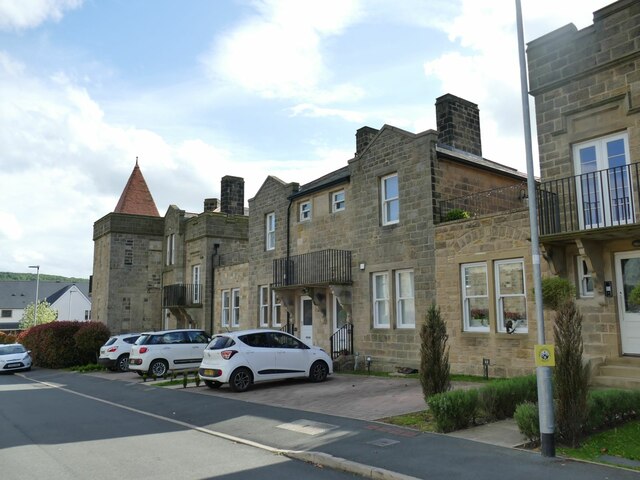
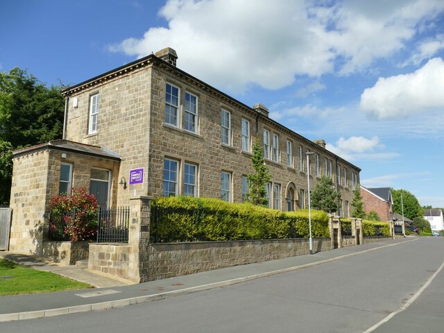
Additionally, The Lake boasts a rich history, with remnants of old buildings and structures dotting the area. These historical landmarks add an extra layer of charm and intrigue to the already captivating scenery.

Overall, The Lake, Yorkshire, is an idyllic and enchanting destination that offers a blend of natural beauty, recreational activities, and historical significance. Whether one seeks tranquility, wildlife spotting, or outdoor adventures, The Lake provides a remarkable experience for all who visit.

If you have any feedback on the listing, please let us know in the comments section below.
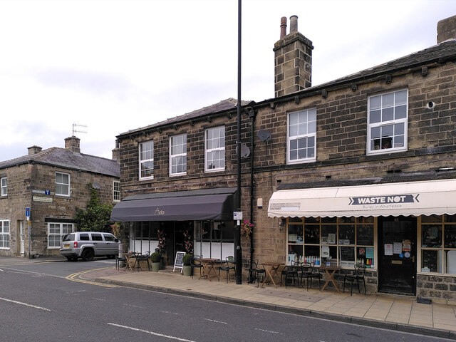
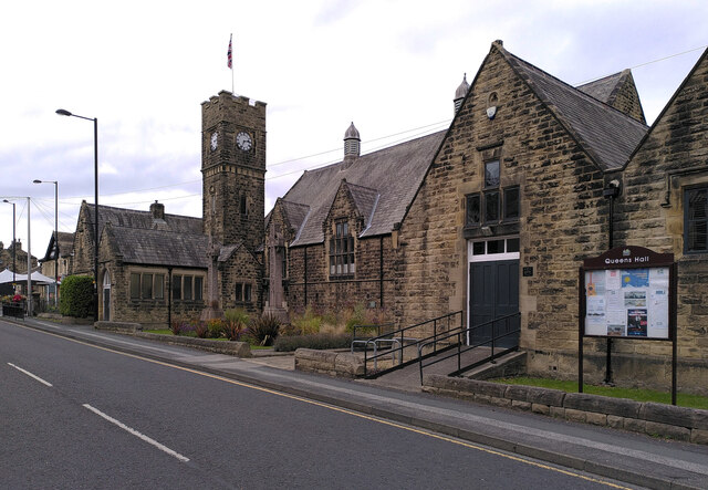
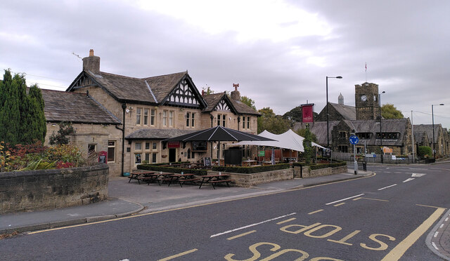
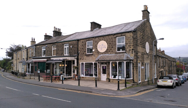
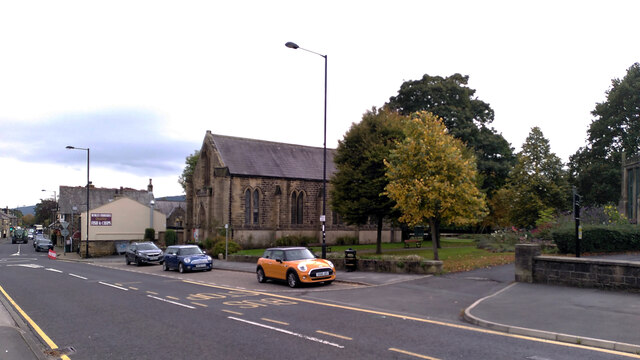
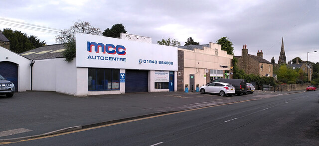
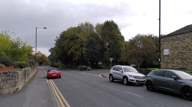
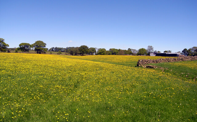
The Lake Images

Images are sourced within 2km of 53.915925/-1.7288603 or Grid Reference SE1746. Thanks to Geograph Open Source API. All images are credited.

Arl Cafe and Waste Not, Main Street, Burley-in-Wharfedale
Main Street, Burley-in-Wharfedale
Queen's Hall, Main Street, Burley-in-Wharfedale
The Red Lion, Main Street, Burley-in-Wharfedale
Main Street and Peel Place, Burley-in-Wharfedale
Salem United Reformed Church, Main Street, Burley-in-Wharfedale
MCC Autocentre and the Co-Op, Main Street, Burley-in-Wharfedale
Main Street, Burley-in-Wharfedale
Buttercups, Covey Hall Farm, Weston
Clifton Lane, Clifton, Wharfedale
Peel Place, Burley-in-Wharfedale
Ginnel between North View and Park Row
Askwith, Ibbotson Farm The benchmark is cut into the road facing farm building, and to the right of a blue painted barn door.
Askwith, Ibbotson Farm
The benchmark is cut into the road facing farm building, and to the right of a blue painted barn door.
Askwith, Ibbotson Farm There is a benchmark cut into the road facing farm building. It is located to the right of the blue painted barn door.
Askwith, Ibbotson Farm
There is a benchmark cut into the road facing farm building. It is located to the right of the blue painted barn door.
Wharfedale Drive, Otley The main building and chimney of the former Wharfedale Hospital (originally a workhouse), now converted to housing. Built 1871-73, by local architects C S and A J Nelson for the Wharfedale Poor Law Union and now listed grade II (list entry 1268414). There is a new hospital nearby to replace it.
Wharfedale Drive, Otley
The main building and chimney of the former Wharfedale Hospital (originally a workhouse), now converted to housing. Built 1871-73, by local architects C S and A J Nelson for the Wharfedale Poor Law Union and now listed grade II (list entry 1268414). There is a new hospital nearby to replace it.
Former hospital building, Wharfedale Drive, Otley The rear block of the former Wharfedale Hospital (originally a workhouse), now converted to housing. Built 1871-73, by local architects C S and A J Nelson for the Wharfedale Poor Law Union. There is a new hospital nearby to replace it.
Former hospital building, Wharfedale Drive, Otley
The rear block of the former Wharfedale Hospital (originally a workhouse), now converted to housing. Built 1871-73, by local architects C S and A J Nelson for the Wharfedale Poor Law Union. There is a new hospital nearby to replace it.
Former infirmary, Wharfedale Drive, Otley This was the infirmary block of the Wharfedale Hospital (originally a workhouse) built 1871-73, by local architects C S and A J Nelson for the Wharfedale Poor Law Union. There is a new hospital nearby to replace it. The buildings are now converted to housing. This one is listed grade II (list entry 1268415).
Former infirmary, Wharfedale Drive, Otley
This was the infirmary block of the Wharfedale Hospital (originally a workhouse) built 1871-73, by local architects C S and A J Nelson for the Wharfedale Poor Law Union. There is a new hospital nearby to replace it. The buildings are now converted to housing. This one is listed grade II (list entry 1268415).
Show me another place!

The Lake is located at Grid Ref: SE1746 (Lat: 53.915925, Lng: -1.7288603)

Division: West Riding

Administrative County: North Yorkshire

District: Harrogate

Police Authority: North Yorkshire

What 3 Words

///competing.frozen.given. Near Burley in Wharfedale, West Yorkshire

Related Wikis

Weston Hall, Yorkshire

Weston Hall is a country house and Grade I listed building in Weston, North Yorkshire, England. == History and architecture == The house has been in the...

Weston, North Yorkshire

Weston is a village and civil parish in the former Harrogate district of North Yorkshire, England. The village is 1.2 miles (2 km) north–west of Otley...

Burley in Wharfedale

Burley in Wharfedale is a village and civil parish in West Yorkshire, England, in the Wharfedale valley. In 2011, it had a population of 7,041. The village...

Burley-in-Wharfedale railway station

Burley-in-Wharfedale railway station serves the village of Burley in Wharfedale in West Yorkshire, England, in the City of Bradford. The station lies on...

Askwith

Askwith is a village and civil parish in North Yorkshire, England, with a population of 220 (2001 census), increasing to 240 at the 2011 Census. The village...

Wharfedale Hospital

Wharfedale Hospital (formerly known as Wharfedale General Hospital) is located in the market town of Otley, West Yorkshire, England, and is managed by...

Newall, West Yorkshire

Newall (historically also spelt Newell) is an area of Otley in West Yorkshire, England. It lies on the north bank of the River Wharfe, across Otley Bridge...

Scalebor Park Hospital

Scalebor Park Hospital was a mental health facility at Burley in Wharfedale in West Yorkshire, England. == History == The hospital, which was designed...

Nearby Amenities

Located within 500m of 53.915925,-1.7288603
Post Box
Operator: Royal Mail
Post Box Type: wall
Ref: LS21 549
Lat/Long: 53.9191968/-1.7293726
Horse Pits
Description: Former field, now part of Ash Holme
Place: locality
Source: OS sheet 187,publ 1851
Lat/Long: 53.9139644/-1.7293772
Weston
Place: hamlet
Source: local_knowledge
Lat/Long: 53.9193011/-1.7295428
Telephone
Booth: K6
Covered: booth
Lat/Long: 53.9193249/-1.7296602
Waste Basket
Lat/Long: 53.9193415/-1.7296306
Bench
Backrest: yes
Lat/Long: 53.9193173/-1.7295929
Advertising: board
Lit: no
Support: wall_mounted
Lat/Long: 53.9192025/-1.7293958
Barrier: wall
Source: Bing
Lat/Long: 53.9187033/-1.7292611
The data included in this document is from www.openstreetmap.org. The data is made available under ODbL.

Have you been to The Lake?

Leave your review of The Lake below (or comments, questions and feedback).