Wood Bottom
Valley in Yorkshire Harrogate
England
Wood Bottom
Wood Bottom is a small village nestled in the picturesque valley of Yorkshire, England. Located in the heart of the county, it is surrounded by rolling hills and lush green meadows, giving it a serene and idyllic setting. With a population of around 500, it exudes a close-knit community feel.
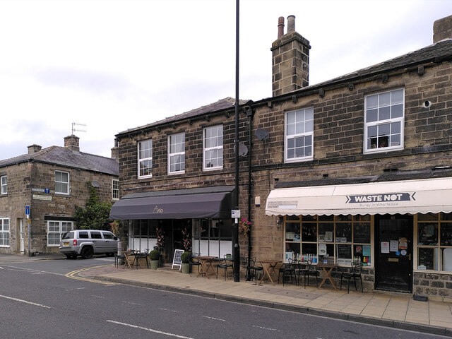
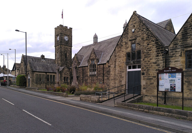
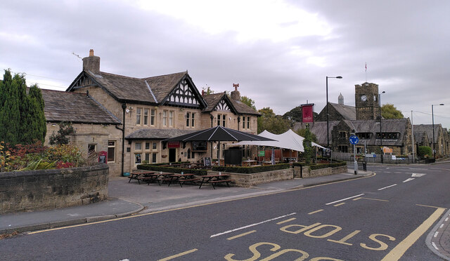
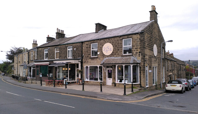
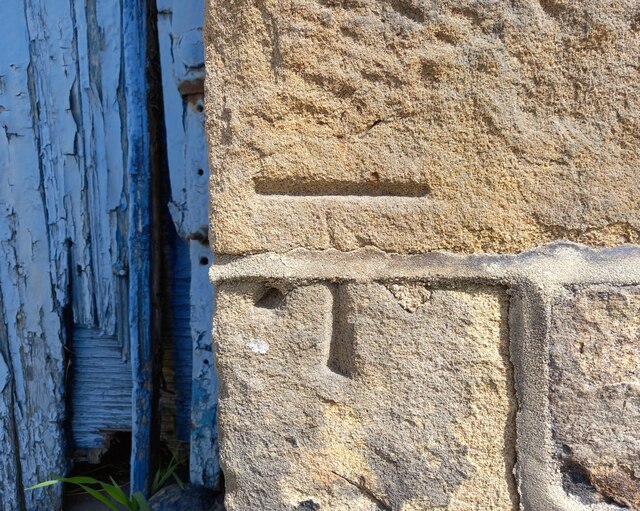
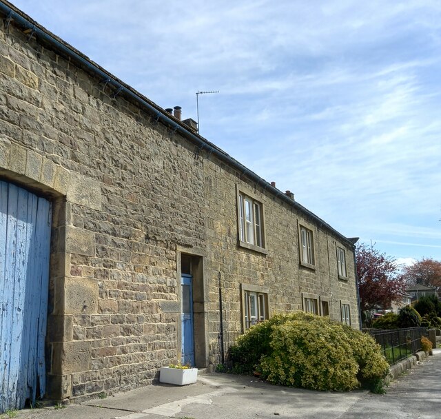
The village is characterized by traditional stone houses, which add to its rustic charm. The architecture reflects the area's rich history, with some buildings dating back several centuries. Wood Bottom is known for its well-preserved heritage, and many of the structures have been protected and maintained by local conservation efforts.
The valley itself is a haven for nature lovers, offering ample opportunities for outdoor activities. The surrounding hills and forests provide a scenic backdrop for hiking, cycling, and exploring the countryside. The nearby river is a popular spot for fishing and boating enthusiasts.
Wood Bottom also boasts a handful of amenities to cater to its residents. The village has a small grocery store, a post office, and a charming village pub that serves as a social hub for locals. Additionally, there is a primary school that provides education for the children of the community.
Despite its peaceful and secluded atmosphere, Wood Bottom is conveniently located within a short drive of larger towns and cities. This allows residents to enjoy the tranquility of rural living while still having access to urban amenities and employment opportunities.
Overall, Wood Bottom is a quintessential Yorkshire village, offering a harmonious blend of natural beauty, community spirit, and historical significance.
If you have any feedback on the listing, please let us know in the comments section below.
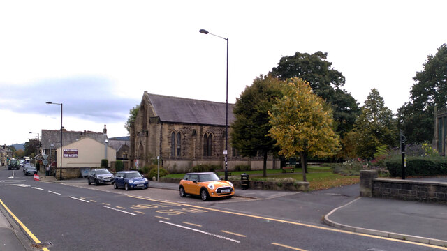
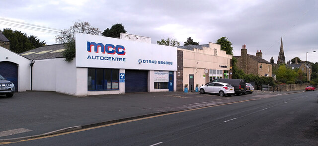
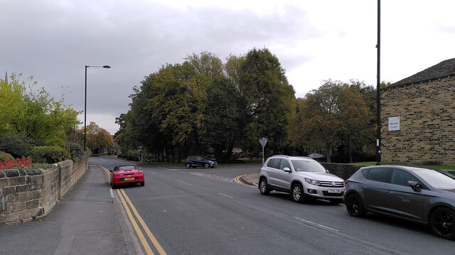
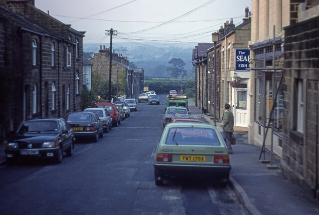
Wood Bottom Images
Images are sourced within 2km of 53.914858/-1.742371 or Grid Reference SE1746. Thanks to Geograph Open Source API. All images are credited.


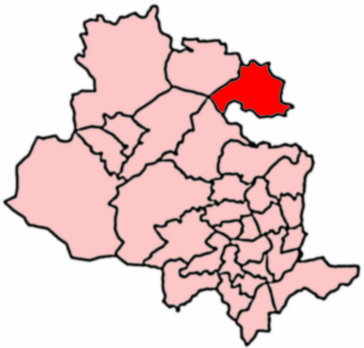
Wood Bottom is located at Grid Ref: SE1746 (Lat: 53.914858, Lng: -1.742371)
Division: West Riding
Administrative County: North Yorkshire
District: Harrogate
Police Authority: North Yorkshire
What 3 Words
///deliver.nibbled.piglets. Near Burley in Wharfedale, West Yorkshire
Nearby Locations
Related Wikis

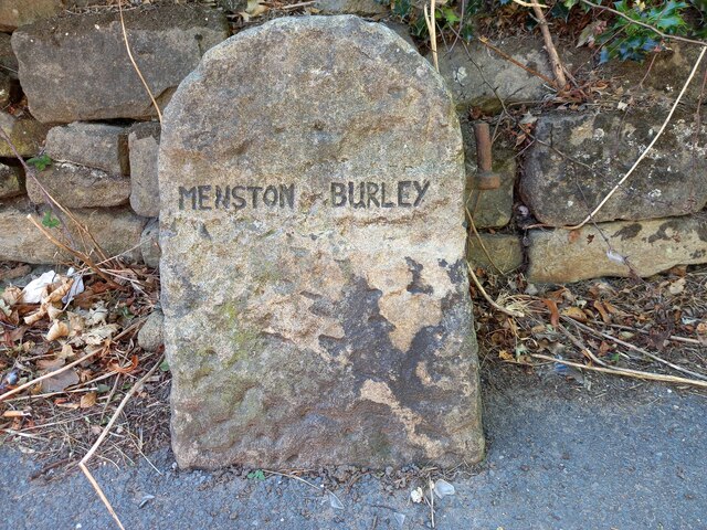
Burley in Wharfedale
Burley in Wharfedale is a village and civil parish in West Yorkshire, England, in the Wharfedale valley. In 2011, it had a population of 7,041. The village...

Weston Hall, Yorkshire
Weston Hall is a country house and Grade I listed building in Weston, North Yorkshire, England. == History and architecture == The house has been in the...

Weston, North Yorkshire
Weston is a village and civil parish in the former Harrogate district of North Yorkshire, England. The village is 1.2 miles (2 km) north–west of Otley...

Burley-in-Wharfedale railway station
Burley-in-Wharfedale railway station serves the village of Burley in Wharfedale in West Yorkshire, England, in the City of Bradford. The station lies on...

Scalebor Park Hospital
Scalebor Park Hospital was a mental health facility at Burley in Wharfedale in West Yorkshire, England. == History == The hospital, which was designed...
Wharfedale (ward)
Wharfedale is a ward in the north east of the City of Bradford Metropolitan District Council in West Yorkshire, England and is situated in Wharfedale...

Askwith
Askwith is a village and civil parish in North Yorkshire, England, with a population of 220 (2001 census), increasing to 240 at the 2011 Census. The village...

Menston railway station
Menston railway station serves Menston in the City of Bradford, West Yorkshire, England. On the Wharfedale Line between Ilkley and Leeds/Bradford Forster...
Nearby Amenities
Located within 500m of 53.914858,-1.742371Have you been to Wood Bottom?
Leave your review of Wood Bottom below (or comments, questions and feedback).