High Park
Downs, Moorland in Yorkshire Richmondshire
England
High Park
High Park is a picturesque region located in the county of Yorkshire, encompassing the beautiful landscapes of the Downs and Moorland. This area is renowned for its stunning natural beauty, making it a popular destination for outdoor enthusiasts and nature lovers alike.
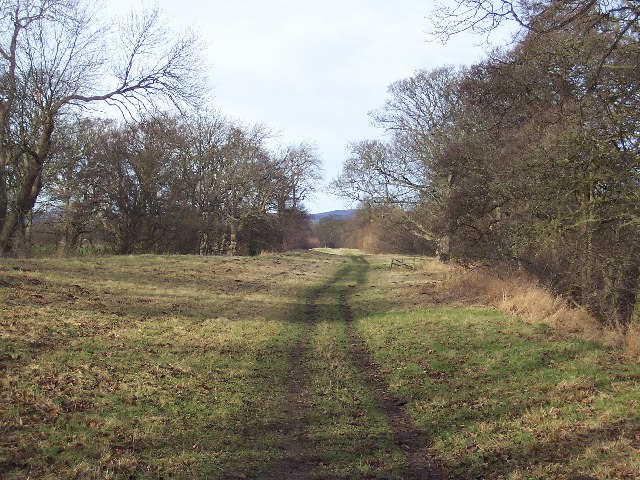
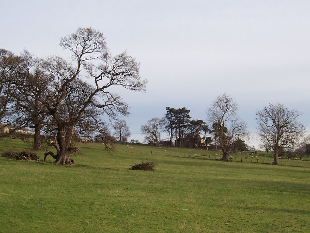
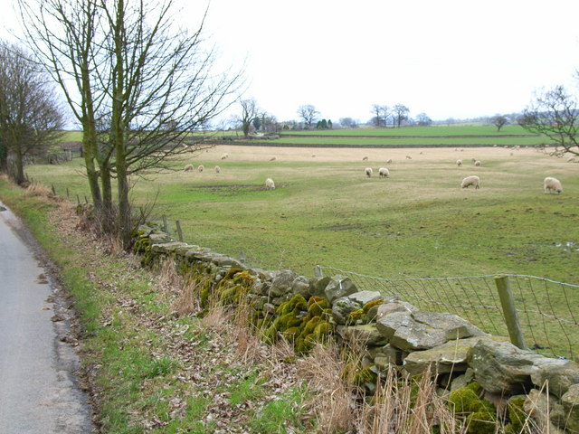
The Downs in High Park offer vast open spaces with rolling hills and expansive panoramas. These grassy uplands provide a perfect setting for walking, hiking, and picnicking, allowing visitors to immerse themselves in the serene surroundings. The Downs are also home to a diverse range of flora and fauna, including wildflowers, butterflies, and various bird species.
Adjacent to the Downs, the Moorland in High Park presents a contrasting landscape characterized by rugged terrain, heather-clad hills, and peat bogs. The moorland offers a sense of wilderness and tranquility, attracting those seeking solitude and a chance to connect with nature. It provides ample opportunities for activities such as birdwatching, photography, and guided nature walks.
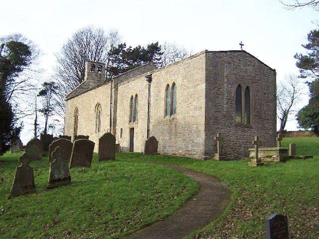
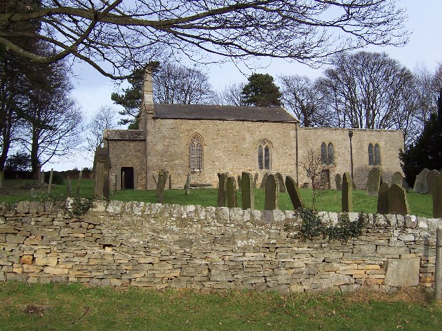
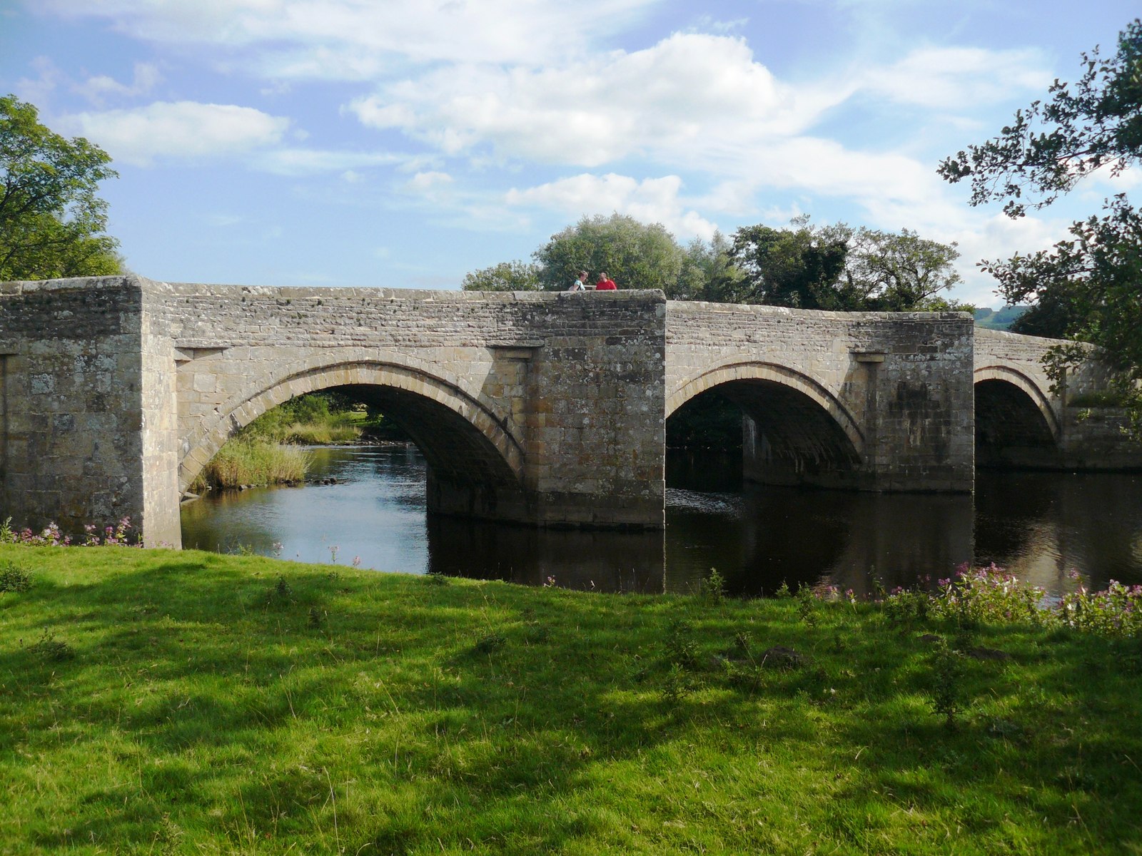
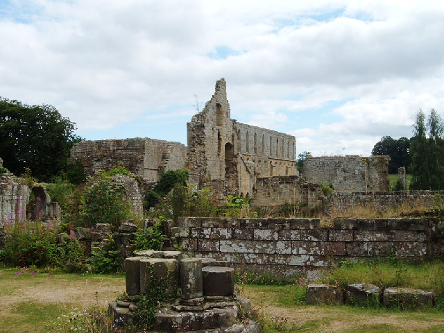
High Park is also known for its rich cultural heritage, with historical landmarks scattered throughout the region. Ancient burial mounds, stone circles, and remnants of prehistoric settlements can be found, providing a glimpse into the area's past.
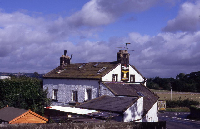
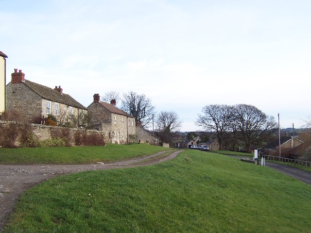
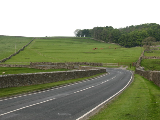
Visitors to High Park can enjoy a range of amenities, including well-maintained walking trails, visitor centers, and picnic areas. Additionally, there are numerous charming villages and towns nearby, offering a chance to explore local shops, cafes, and traditional pubs.
Overall, High Park in Yorkshire offers a stunning combination of Downs and Moorland landscapes, providing a haven for outdoor activities, wildlife enthusiasts, and those seeking a peaceful retreat amidst the beauty of nature.
If you have any feedback on the listing, please let us know in the comments section below.
High Park Images
Images are sourced within 2km of 54.284802/-1.7553693 or Grid Reference SE1687. Thanks to Geograph Open Source API. All images are credited.


High Park is located at Grid Ref: SE1687 (Lat: 54.284802, Lng: -1.7553693)
Division: North Riding
Administrative County: North Yorkshire
District: Richmondshire
Police Authority: North Yorkshire
What 3 Words
///masks.expansion.speech. Near Leyburn, North Yorkshire
Nearby Locations
Related Wikis

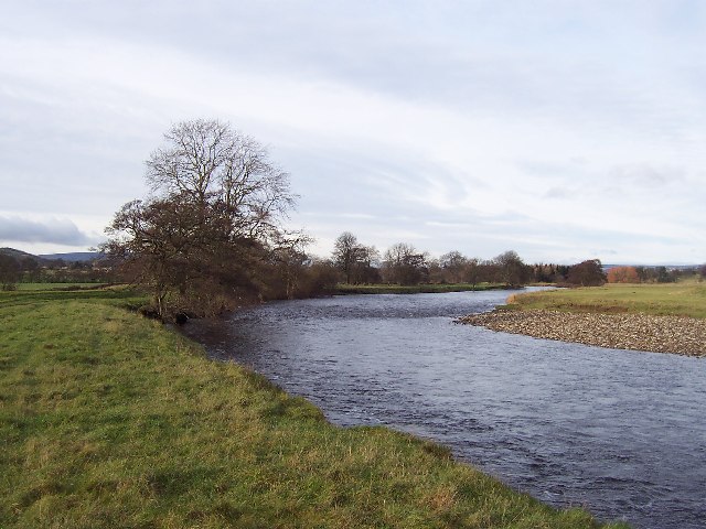
River Cover
The River Cover is a river in the Yorkshire Dales in North Yorkshire, England. The Yorkshire Dales Rivers Trust has a remit to conserve the ecological...

Hutton Hang
Hutton Hang is a hamlet and civil parish in the Richmondshire district of North Yorkshire, England. The population taken at the 2011 census was less than...
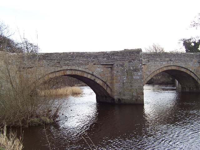
Ulshaw Bridge
Ulshaw Bridge is a hamlet on the River Ure, near to Middleham, in North Yorkshire, England. The hamlet derives its name partly from the Medieval stone...

Thornton Steward
Thornton Steward is a small village and civil parish in North Yorkshire, England, near Wensleydale, with a population of 100–200, measured at 199 in the...

Thornton Steward Reservoir
Thornton Steward Reservoir is a reservoir north of the village of Thornton Steward in North Yorkshire, England. It is owned by Yorkshire Water, and supplies...
A6108 road
The A6108 road is an A road in North Yorkshire, England. It runs from the south of Scotch Corner to Ripon going via Richmond and Leyburn across the moors...

East Witton
East Witton is a village and civil parish in Wensleydale in North Yorkshire, England. It lies south of Leyburn, in the Richmondshire district. Richard...
Jervaulx Abbey
Jervaulx Abbey in East Witton in North Yorkshire, 14 mi (23 km) north-west of the city of Ripon, was one of the great Cistercian abbeys of Yorkshire, England...
Nearby Amenities
Located within 500m of 54.284802,-1.7553693Have you been to High Park?
Leave your review of High Park below (or comments, questions and feedback).