Cook Hill

Hill, Mountain in Yorkshire Richmondshire

England

Cook Hill

River Ure near Jervaulx Abbey Exact location, looking upstream from where the Harker Beck enters the Ure.
River Ure near Jervaulx Abbey Credit: Chris Heaton

Cook Hill is a prominent hill located in the county of Yorkshire, England. Standing at an elevation of approximately 300 meters (984 feet), it offers breathtaking panoramic views of the surrounding countryside. Situated within the North York Moors National Park, Cook Hill is part of the vast and diverse landscape that characterizes this region.

The hill itself is covered in lush greenery, with a mix of trees, shrubs, and grasses adorning its slopes. It is a popular spot for hikers and outdoor enthusiasts, who are drawn to its natural beauty and tranquil atmosphere. Numerous trails and footpaths meander through the hill, providing opportunities for leisurely walks or more challenging treks.

Cook Hill is also known for its rich biodiversity. The hill is home to various species of wildlife, including birds, small mammals, and insects. The diverse habitat supports a wide range of plant life, with wildflowers and ferns dotting the landscape during the warmer months.

The hill is easily accessible, with a car park located nearby for visitors. From the summit, visitors can enjoy unobstructed views of the surrounding countryside, including rolling hills, valleys, and distant villages. On clear days, it is even possible to catch a glimpse of the nearby coast.

Overall, Cook Hill offers a picturesque and tranquil setting for nature lovers and outdoor enthusiasts, providing an opportunity to immerse oneself in the natural beauty of Yorkshire's landscape.

If you have any feedback on the listing, please let us know in the comments section below.
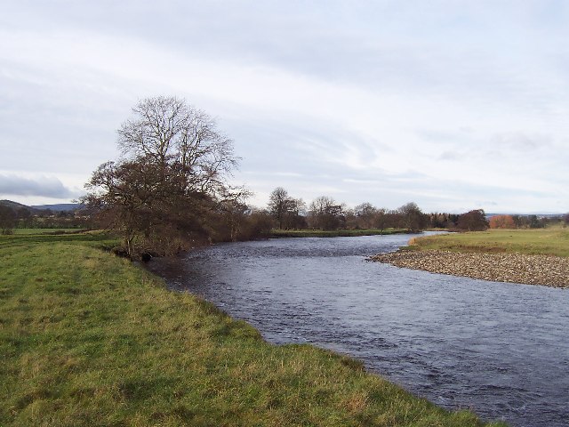
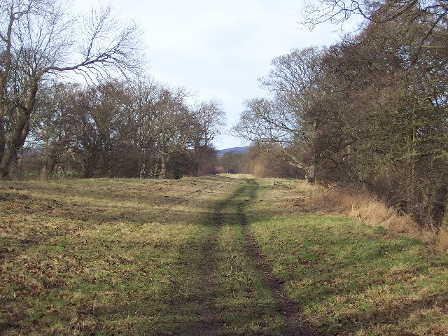
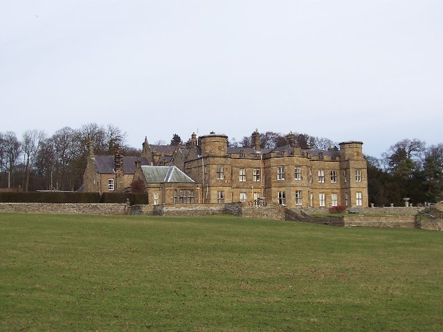
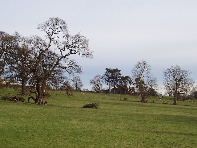
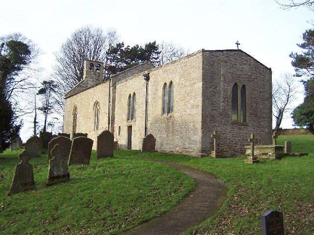
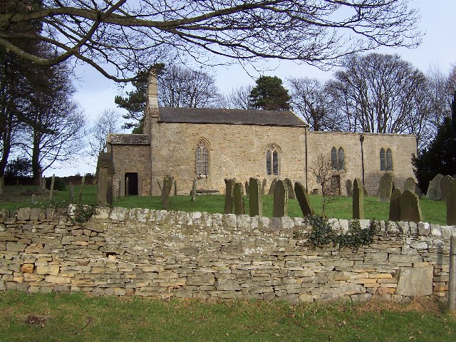
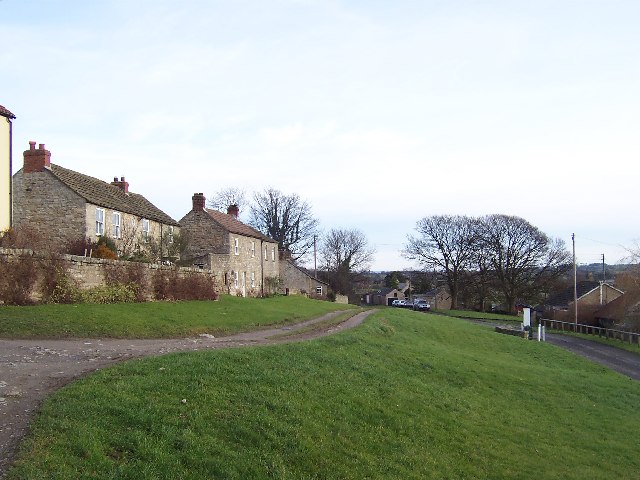
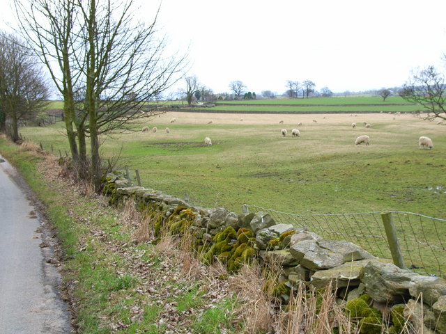
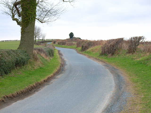
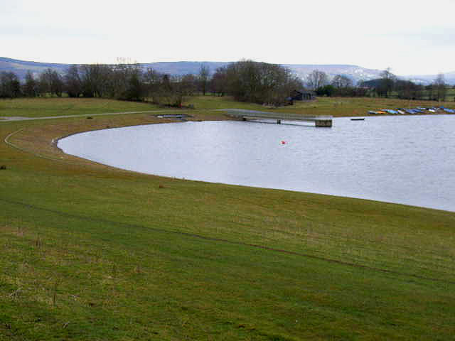
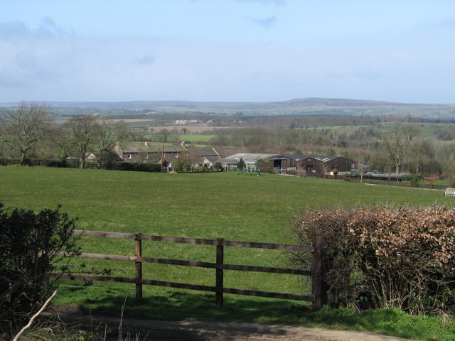
Cook Hill Images

Images are sourced within 2km of 54.286186/-1.7508758 or Grid Reference SE1687. Thanks to Geograph Open Source API. All images are credited.

River Ure near Jervaulx Abbey Exact location, looking upstream from where the Harker Beck enters the Ure.
River Ure near Jervaulx Abbey
Exact location, looking upstream from where the Harker Beck enters the Ure.
Fish Pond Plantation Path stretching through pleasant woodland, beside the River Ure
Fish Pond Plantation
Path stretching through pleasant woodland, beside the River Ure
St Simon and St Jude Catholic Church, Ulshaw Bridge This isolated church struck me as unusual, by having a house joined onto it - the church almost looked like an annexe.
This dates to the time when it was still "risky" to be a Roman Catholic - around 1800 churches were often "disguised" as houses. This one is disguised by hiding it behind the priest's house. The RC Church at Knaresborough was disguised as a large Georgian house.
St Simon and St Jude Catholic Church, Ulshaw Bridge
This isolated church struck me as unusual, by having a house joined onto it - the church almost looked like an annexe. This dates to the time when it was still "risky" to be a Roman Catholic - around 1800 churches were often "disguised" as houses. This one is disguised by hiding it behind the priest's house. The RC Church at Knaresborough was disguised as a large Georgian house.
Danby Hall Stately Home, associated with that famous Wensleydale family - the Scropes.  Set in lovely parkland that sweeps down to the River Ure.
Danby Hall
Stately Home, associated with that famous Wensleydale family - the Scropes. Set in lovely parkland that sweeps down to the River Ure.
Approaching Danby Grange Following footpath, towards Danby Grange - somewhat concealed by trees - from the direction of Danby Hall
Approaching Danby Grange
Following footpath, towards Danby Grange - somewhat concealed by trees - from the direction of Danby Hall
St. Oswalds Church Standing alone, unabashed and unashamed, this little church serves the community of Thornton Steward, half a mile to the east.  The noticeboard outside the church claims that a place of worship has stood here since Pre Norman times.
St. Oswalds Church
Standing alone, unabashed and unashamed, this little church serves the community of Thornton Steward, half a mile to the east. The noticeboard outside the church claims that a place of worship has stood here since Pre Norman times.
St. Oswalds Church, Thornton Steward
Thornton Steward Sleepy little village in Lower Wensleydale
Thornton Steward
Sleepy little village in Lower Wensleydale
Hutton Hill Farm, near Constable Burton This farm business has also diversified into stained glass windows
Hutton Hill Farm, near Constable Burton
This farm business has also diversified into stained glass windows
Hutton Hang Farm, near Constable Burton
Field near Hutton Hang, Constable Burton
Road between Low Hutton and Hutton Hill, near Finghall
Thornton Reservoir <a href="https://www.geograph.org.uk/gridref/SE1888">SE1888</a> for the associated waterworks
Thornton Reservoir
SE1888 for the associated waterworks
Sun Hill farm looking across towards Bellerby Bellerby ranges on the horizon in the distance
Sun Hill farm looking across towards Bellerby
Bellerby ranges on the horizon in the distance
A Road To Old Hall Farm On the fringe of Spennithorne Wood. Although appearing to be a farm track, a current Ordnance Survey map shows it as a Public Highway.
A Road To Old Hall Farm
On the fringe of Spennithorne Wood. Although appearing to be a farm track, a current Ordnance Survey map shows it as a Public Highway.
Eastfield House Farm As seen from an adjoining square. There is no public access to SE1588.
Eastfield House Farm
As seen from an adjoining square. There is no public access to SE1588.
A Golden Tree At the foot of Swarble Hill.
A Golden Tree
At the foot of Swarble Hill.
The Western Entrance To Eastfield House Farm.
The Western Entrance
To Eastfield House Farm.
Show me another place!

Cook Hill is located at Grid Ref: SE1687 (Lat: 54.286186, Lng: -1.7508758)

Division: North Riding

Administrative County: North Yorkshire

District: Richmondshire

Police Authority: North Yorkshire

What 3 Words

///rocket.manliness.crabmeat. Near Leyburn, North Yorkshire

Related Wikis

Hutton Hang

Hutton Hang is a hamlet and civil parish in the Richmondshire district of North Yorkshire, England. The population taken at the 2011 census was less than...

Thornton Steward

Thornton Steward is a small village and civil parish in North Yorkshire, England, near Wensleydale, with a population of 100–200, measured at 199 in the...

River Cover

The River Cover is a river in the Yorkshire Dales in North Yorkshire, England. The Yorkshire Dales Rivers Trust has a remit to conserve the ecological...

Thornton Steward Reservoir

Thornton Steward Reservoir is a reservoir north of the village of Thornton Steward in North Yorkshire, England. It is owned by Yorkshire Water, and supplies...

Nearby Amenities

Located within 500m of 54.286186,-1.7508758
The data included in this document is from www.openstreetmap.org. The data is made available under ODbL.

Have you been to Cook Hill?

Leave your review of Cook Hill below (or comments, questions and feedback).