Bridge Hill
Hill, Mountain in Yorkshire Harrogate
England
Bridge Hill
Bridge Hill is a picturesque hill located in the county of Yorkshire, England. Situated in the charming village of Bridge, the hill stands proudly as a prominent landmark in the region. Rising to an elevation of approximately 400 meters, it offers breathtaking panoramic views of the surrounding countryside.
The hill is renowned for its lush greenery and diverse flora and fauna. The slopes are covered in a patchwork of vibrant wildflowers during the spring and summer months, creating a stunning spectacle of colors. The area is also home to a variety of wildlife, including rabbits, foxes, and various bird species, making it a haven for nature enthusiasts and birdwatchers.
At the summit of Bridge Hill, visitors are rewarded with a mesmerizing vista that stretches across the rolling hills and valleys of Yorkshire. On a clear day, it is even possible to catch a glimpse of the distant Yorkshire Dales National Park to the west.
The hill is a popular destination for outdoor activities, attracting hikers, cyclists, and runners from near and far. A network of well-maintained footpaths and trails crisscross the hill, offering ample opportunities for exploration and adventure.
Bridge Hill is not only a natural wonder but also steeped in history. It is believed to have been an ancient meeting point for local communities, as evidenced by the remains of an old stone circle discovered on its slopes. These ancient relics add an air of mystery and intrigue to the already enchanting hill.
In conclusion, Bridge Hill in Yorkshire is a captivating hill that offers breathtaking views, abundant wildlife, and a rich history. It is a must-visit destination for nature lovers and those seeking a respite from the bustling city life.
If you have any feedback on the listing, please let us know in the comments section below.
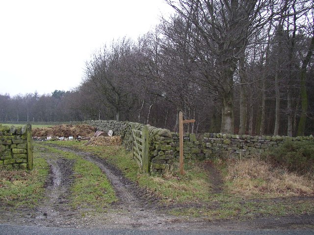
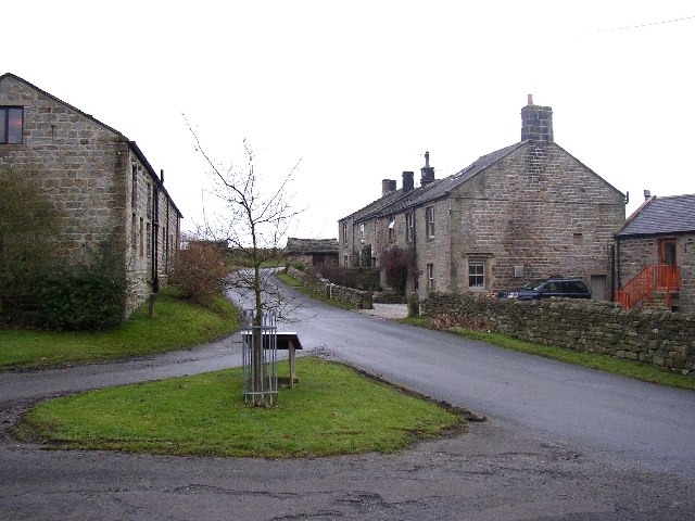
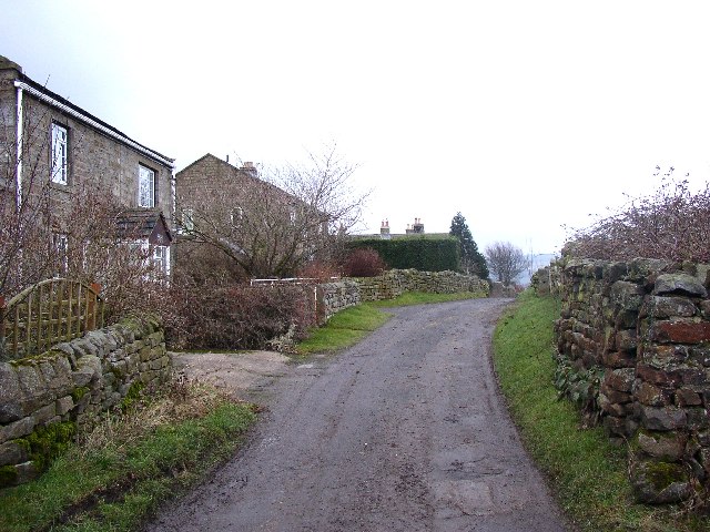
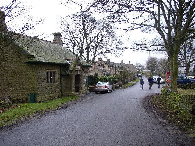
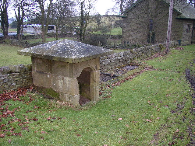
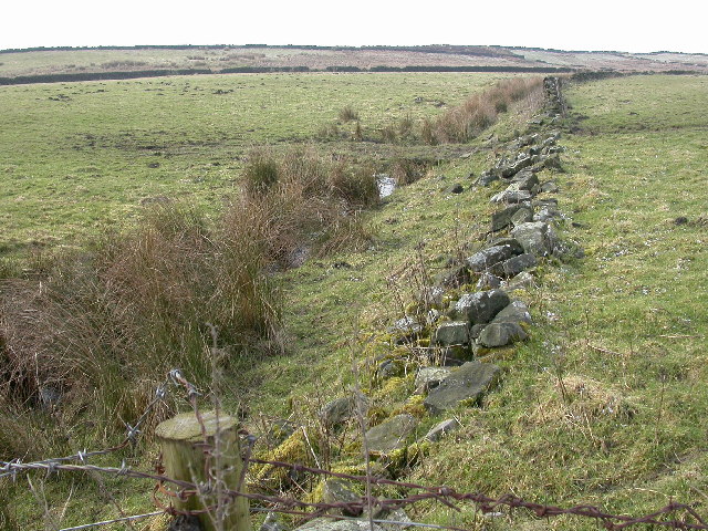
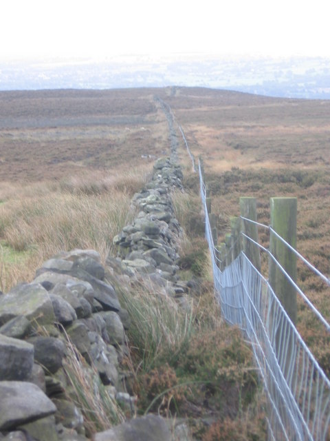
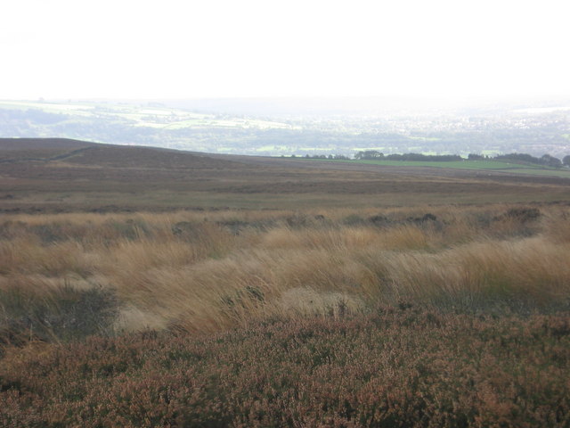
Bridge Hill Images
Images are sourced within 2km of 53.973507/-1.7527426 or Grid Reference SE1653. Thanks to Geograph Open Source API. All images are credited.


Bridge Hill is located at Grid Ref: SE1653 (Lat: 53.973507, Lng: -1.7527426)
Division: West Riding
Administrative County: North Yorkshire
District: Harrogate
Police Authority: North Yorkshire
What 3 Words
///darkest.crimson.reinvest. Near Burley in Wharfedale, West Yorkshire
Nearby Locations
Related Wikis

Fewston
Fewston is a village and civil parish in the Harrogate district of North Yorkshire, England. It is situated north of Otley and close to Swinsty and Fewston...

Timble
Timble is a village in the Harrogate district of North Yorkshire, England. It is situated on the slopes of the Washburn valley, north of Otley and close...

Blubberhouses
Blubberhouses is a small village and civil parish in the Washburn Valley in North Yorkshire, England. The population as at the 2011 Census was less than...

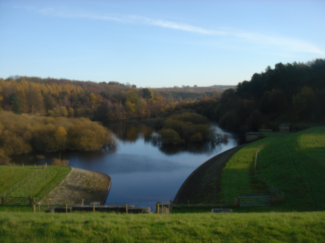
Fewston Reservoir
Fewston Reservoir is located in the Washburn valley north of Otley and west of Harrogate in Yorkshire, England. It was built in 1879. The capacity is about...

Snowden Crags
Snowden Crags is a prehistoric archaeological site on Askwith Moor in North Yorkshire, England. Local antiquarian Eric Cowling recorded a stone circle...

Kex Gill Bypass
The Kex Gill Bypass is a future stretch of A-road across Kex Gill Moor to Blubberhouses in North Yorkshire, England. The route is part of the A59 road...
Swinsty Reservoir
Swinsty Reservoir is a reservoir in the Washburn valley north of Otley and west of Harrogate in Yorkshire, England. Construction began in 1871 and was...
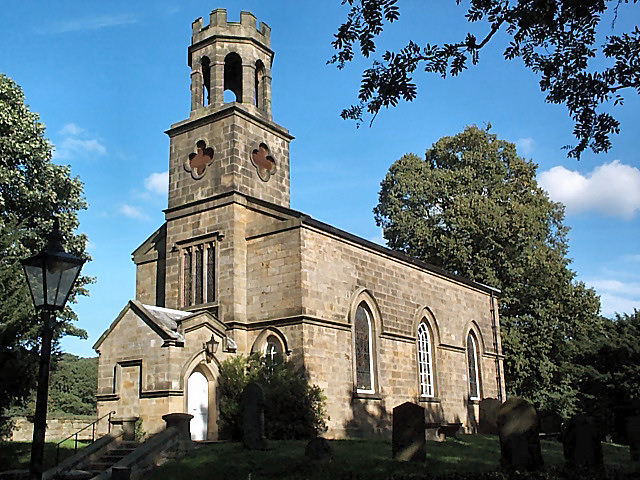
Church of St Helen, Denton
The Church of St Helen, Denton is a parish church in the hamlet of Denton, near Otley, in North Yorkshire, England. The church was built in 1776 by the...
Nearby Amenities
Located within 500m of 53.973507,-1.7527426Have you been to Bridge Hill?
Leave your review of Bridge Hill below (or comments, questions and feedback).