Dolly Bog Wood
Wood, Forest in Yorkshire Richmondshire
England
Dolly Bog Wood
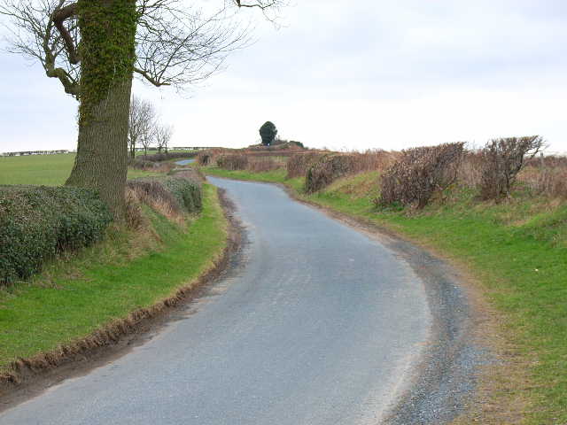
Dolly Bog Wood, located in Yorkshire, is a captivating woodland area that encompasses a diverse range of natural beauty. Spread across a vast expanse, this forest is renowned for its enchanting atmosphere and rich biodiversity. Dolly Bog Wood is situated on the edge of the North York Moors National Park, adding to its allure and accessibility for nature enthusiasts.
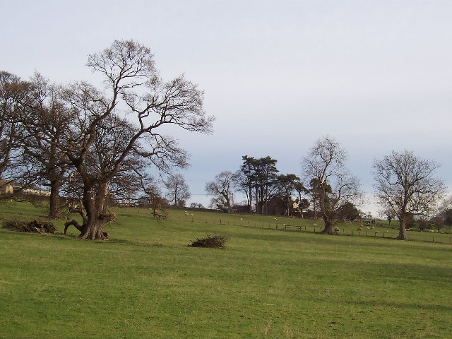
The wood is predominantly composed of ancient oak trees, which provide a majestic canopy that filters the sunlight and creates a tranquil ambience. The forest floor is adorned with a tapestry of vibrant wildflowers, including bluebells, primroses, and wood anemones, adding bursts of color to the landscape during springtime.
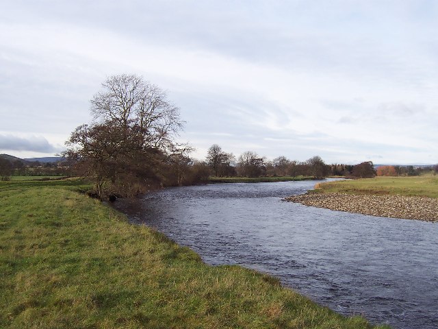
One of the distinguishing features of Dolly Bog Wood is its wetland area, which is home to a variety of rare flora and fauna. The boggy ground supports an array of mosses, ferns, and lichens, creating a lush and verdant environment. This wetland also attracts numerous bird species, such as herons, kingfishers, and various waterfowl, making it a popular spot for birdwatching.
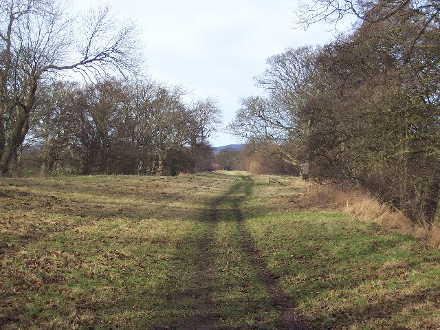
Visitors to Dolly Bog Wood can explore the forest via well-maintained walking trails that wind through the trees, offering glimpses of the diverse wildlife that inhabits the area. The woodland is also intersected by a small stream, providing a peaceful soundtrack of flowing water.
Overall, Dolly Bog Wood is a captivating and ecologically significant forest in Yorkshire. Its ancient oak trees, vibrant wildflowers, and unique wetland area make it a haven for nature lovers and a must-visit destination for those seeking tranquility in the heart of nature.
If you have any feedback on the listing, please let us know in the comments section below.
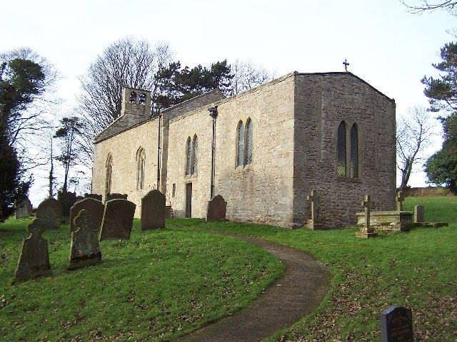
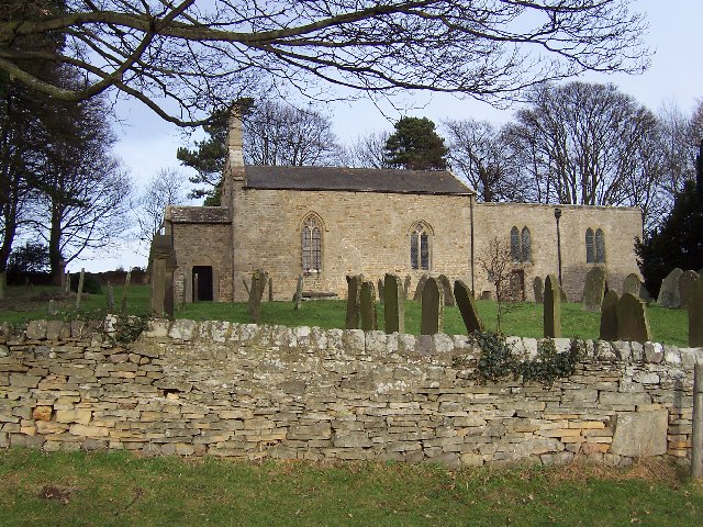
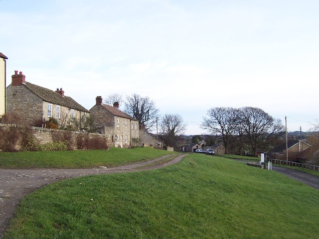
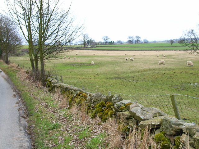
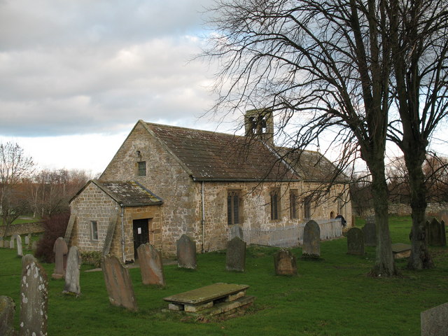
Dolly Bog Wood Images
Images are sourced within 2km of 54.287342/-1.7492559 or Grid Reference SE1687. Thanks to Geograph Open Source API. All images are credited.


Dolly Bog Wood is located at Grid Ref: SE1687 (Lat: 54.287342, Lng: -1.7492559)
Division: North Riding
Administrative County: North Yorkshire
District: Richmondshire
Police Authority: North Yorkshire
What 3 Words
///replayed.evidently.keen. Near Leyburn, North Yorkshire
Nearby Locations
Related Wikis

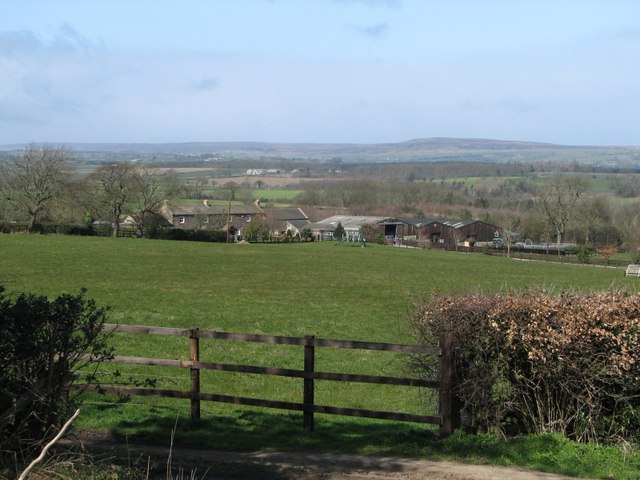
Hutton Hang
Hutton Hang is a hamlet and civil parish in the Richmondshire district of North Yorkshire, England. The population taken at the 2011 census was less than...

Thornton Steward
Thornton Steward is a small village and civil parish in North Yorkshire, England, near Wensleydale, with a population of 100–200, measured at 199 in the...

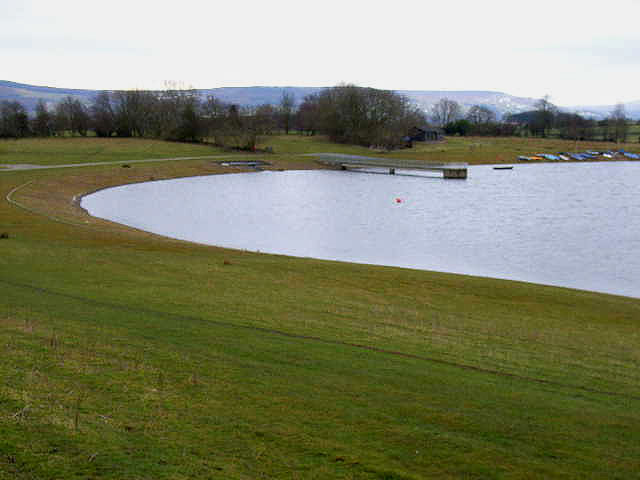
Thornton Steward Reservoir
Thornton Steward Reservoir is a reservoir north of the village of Thornton Steward in North Yorkshire, England. It is owned by Yorkshire Water, and supplies...

River Cover
The River Cover is a river in the Yorkshire Dales in North Yorkshire, England. The Yorkshire Dales Rivers Trust has a remit to conserve the ecological...
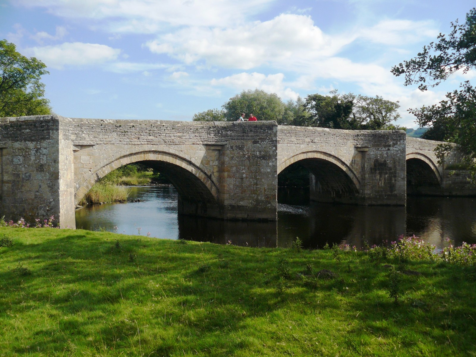
Ulshaw Bridge
Ulshaw Bridge is a hamlet on the River Ure, near to Middleham, in North Yorkshire, England. The hamlet derives its name partly from the Medieval stone...

Constable Burton railway station
Constable Burton railway station is a disused railway station on the Wensleydale Railway, in North Yorkshire, England. It was built to serve Constable...
Finghall
Finghall is a village and civil parish in North Yorkshire, England. == History == The village is mentioned in the Domesday Book as Fingall when it belonged...
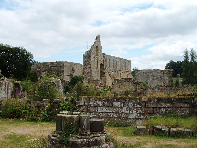
Jervaulx Abbey
Jervaulx Abbey in East Witton in North Yorkshire, 14 mi (23 km) north-west of the city of Ripon, was one of the great Cistercian abbeys of Yorkshire, England...
Related Videos

Sun Hill Lodges. Leyburn. Cloud Timelapse 15/08/2021
Sun Hill Farm, Leyburn, North Yorkshire. Sony RX100 Miii 4 second intervals. #sonyrx100miii #sunhilllodges #leyburn.
Sun Hill Lodges. Sunset Timelapse. Leyburn, N Yorks, UK
At Leyburn....not Wensleydale Lodge's outlook at Sun Hill Farm Sony RX100 Miii 3 second intervals #sonyrx100miii ...
Tandem kayaking on the River Ure | Riber 420 Drop Stitch Inflatable Kayak
Tandem kayaking on the River Ure in a Drop Stitch Inflatable Kayak - My bubble buddy Roadkill and I took the Riber 420 out for ...
Nearby Amenities
Located within 500m of 54.287342,-1.7492559Have you been to Dolly Bog Wood?
Leave your review of Dolly Bog Wood below (or comments, questions and feedback).