Margery Bower Plantation
Wood, Forest in Derbyshire Derbyshire Dales
England
Margery Bower Plantation
Margery Bower Plantation is a picturesque woodland located in Derbyshire, England. Covering an area of approximately 150 acres, the plantation is situated in the heart of the beautiful Derbyshire countryside, known for its rolling hills and rich biodiversity.
The plantation is predominantly made up of mature broadleaf trees, such as oak, beech, and ash, which provide a dense canopy that filters the sunlight and creates a cool, shaded environment beneath. The forest floor is covered in a thick carpet of moss, ferns, and wildflowers, adding to the enchanting atmosphere of the woodland.
Margery Bower Plantation is a haven for wildlife, with a diverse range of species calling it home. Visitors may spot various bird species, including woodpeckers, owls, and songbirds, as well as small mammals like squirrels, rabbits, and hedgehogs. The woodland is also known for its thriving population of butterflies and other insects.
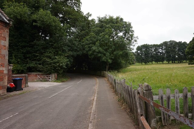
The plantation offers several walking trails, allowing visitors to explore the woodland at their own pace. These trails wind through the forest, leading to hidden clearings, babbling brooks, and small ponds. The peaceful ambiance and natural beauty of the plantation make it an ideal destination for nature lovers, hikers, and photographers.
Managed by the local authorities, Margery Bower Plantation is well-maintained, with clear signage and designated picnic areas. The site also offers educational programs and guided tours for school groups and nature enthusiasts, aiming to promote awareness and appreciation for the natural environment.
Overall, Margery Bower Plantation is a treasured natural gem in Derbyshire, offering a tranquil escape and a chance to reconnect with nature in a stunning woodland setting.
If you have any feedback on the listing, please let us know in the comments section below.
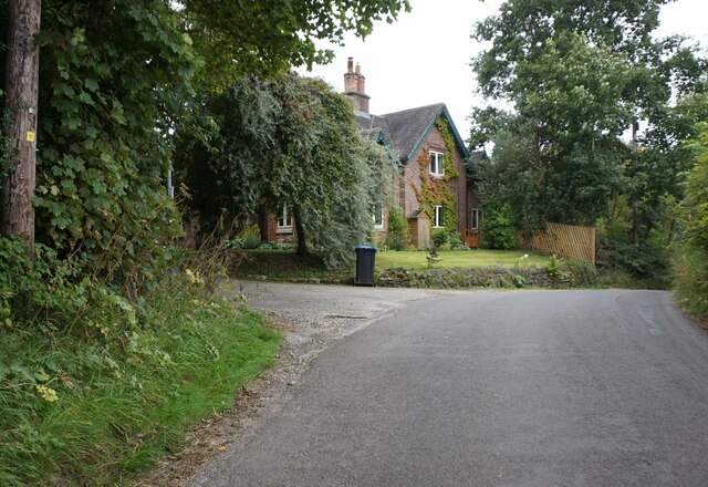
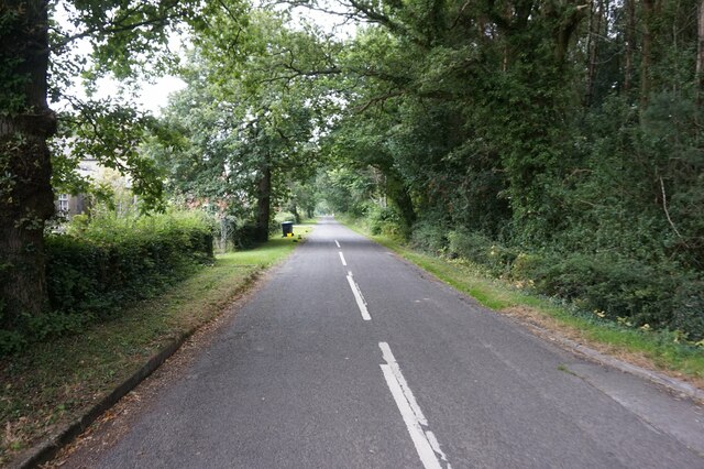
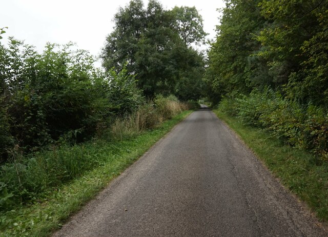
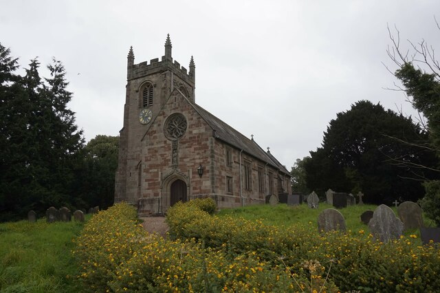
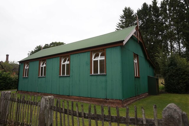
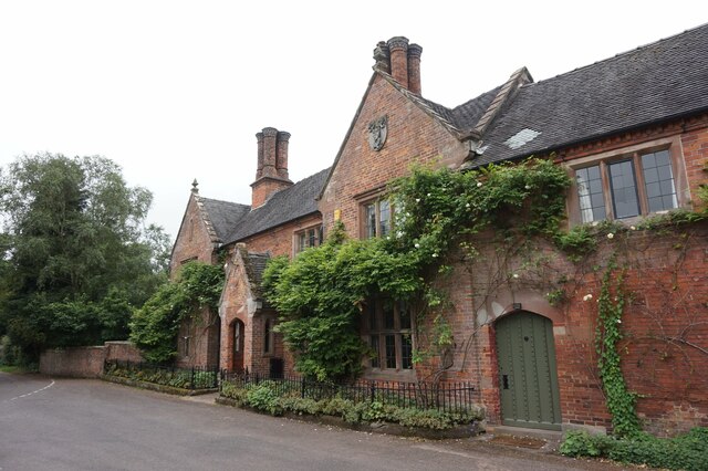
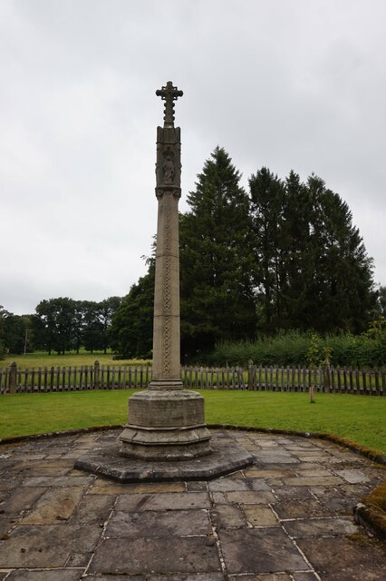
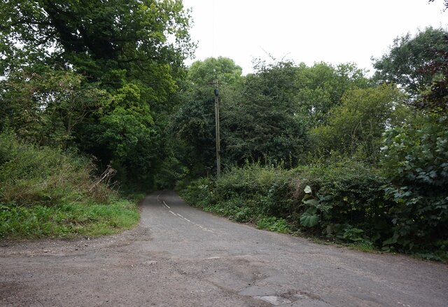
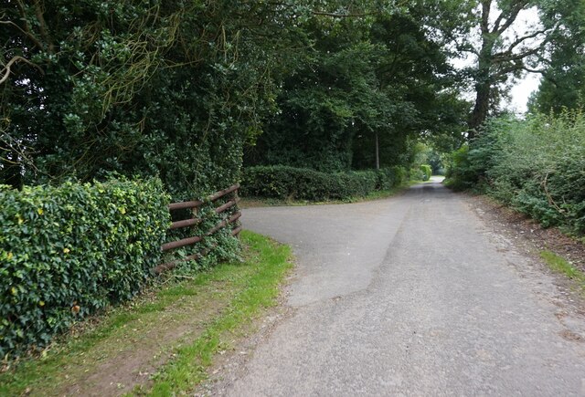
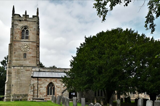
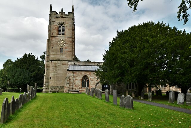
Margery Bower Plantation Images
Images are sourced within 2km of 52.994187/-1.7568617 or Grid Reference SK1644. Thanks to Geograph Open Source API. All images are credited.

Margery Bower Plantation is located at Grid Ref: SK1644 (Lat: 52.994187, Lng: -1.7568617)
Administrative County: Derbyshire
District: Derbyshire Dales
Police Authority: Derbyshire
What 3 Words
///impressed.sounding.charm. Near Mayfield, Staffordshire
Nearby Locations
Related Wikis

Henmore Brook
The Henmore Brook or the River Henmore is a tributary of the River Dove in Derbyshire, England, and is 20 km (12 miles) in length.In its upper reaches...

Clifton (Mayfield) railway station
Clifton (Mayfield) railway station was opened on 3 May 1852 by the North Staffordshire Railway at Clifton on the southern fringes of Ashbourne, Derbyshire...

Clifton and Compton
Clifton and Compton is a civil parish within the Derbyshire Dales district, in the county of Derbyshire, England. The parish, despite the name, only includes...

Clifton, Derbyshire
Clifton is a village in the Derbyshire Dales district of Derbyshire, England. The village is situated about 1.2 miles (2 km) south west of Ashbourne,...

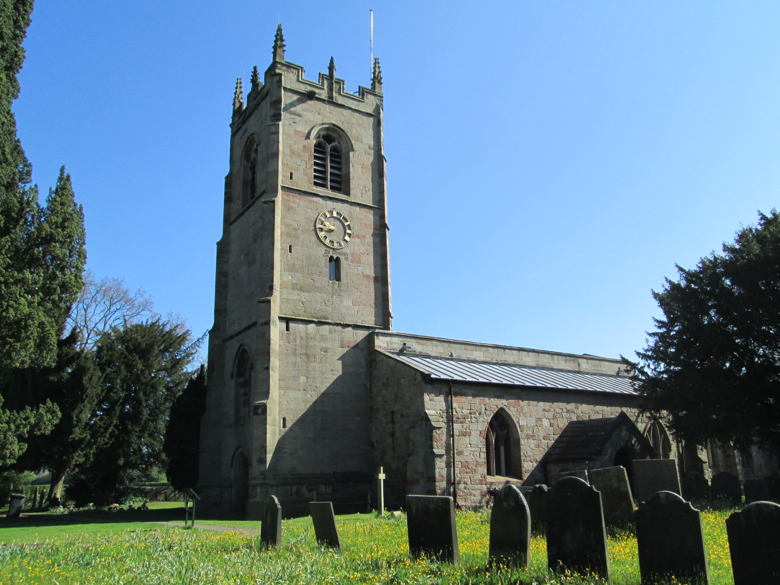
St Peter's Church, Snelston
St Peter's Church, Snelston is a Grade II* listed parish church in the Church of England: 319 in Snelston, Derbyshire. == History == The church dates...
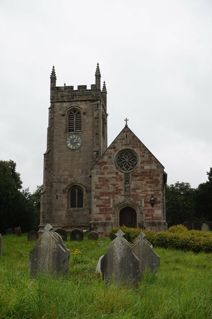
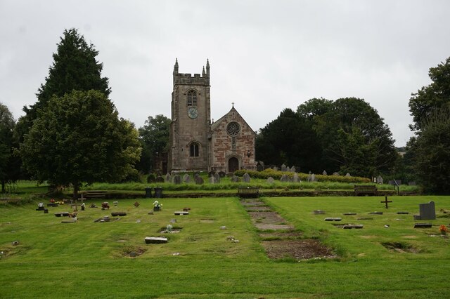
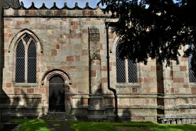
St John the Baptist's Church, Mayfield
St John the Baptist's Church is an Anglican church in the village of Mayfield, Staffordshire, England. It is a Grade I listed building. The core is a Norman...

Roston
Roston is a hamlet in Derbyshire, England. It is located north of Rocester. The Roston Inn (known locally as 'The Shant') is at the junction of Mill Lane...
Snelston
Snelston is a village and civil parish three miles south-west of Ashbourne in Derbyshire, England. It includes Anacrehill. The population of the civil...
Nearby Amenities
Located within 500m of 52.994187,-1.7568617Have you been to Margery Bower Plantation?
Leave your review of Margery Bower Plantation below (or comments, questions and feedback).