Clifton

Settlement in Derbyshire Derbyshire Dales

England

Clifton

Windmill Lane towards Snelston
Windmill Lane towards Snelston Credit: Ian S

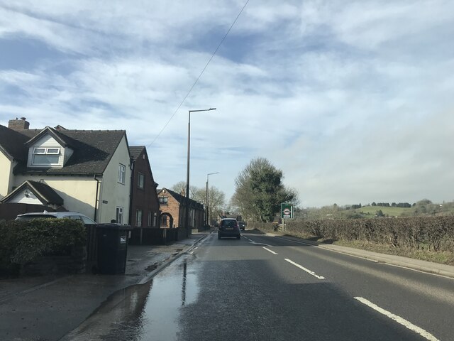
Clifton is a small village located in the county of Derbyshire, England. Situated about 5 miles south of the bustling city of Derby, Clifton is nestled within the beautiful countryside of the East Midlands region. With a population of approximately 2,000 residents, the village maintains a close-knit and friendly community atmosphere.

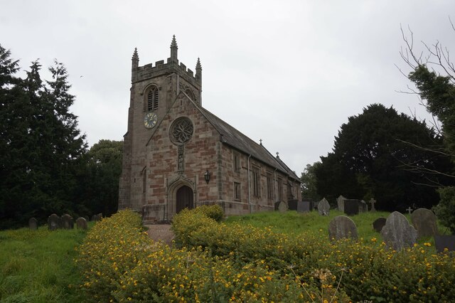
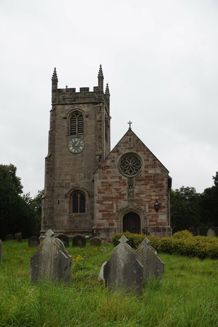
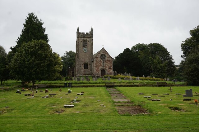
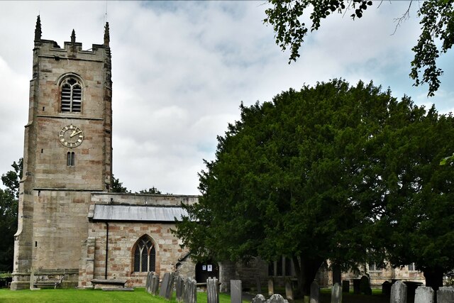
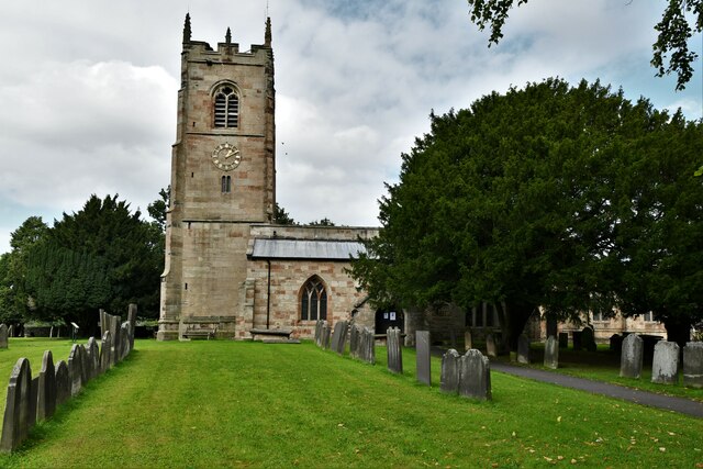
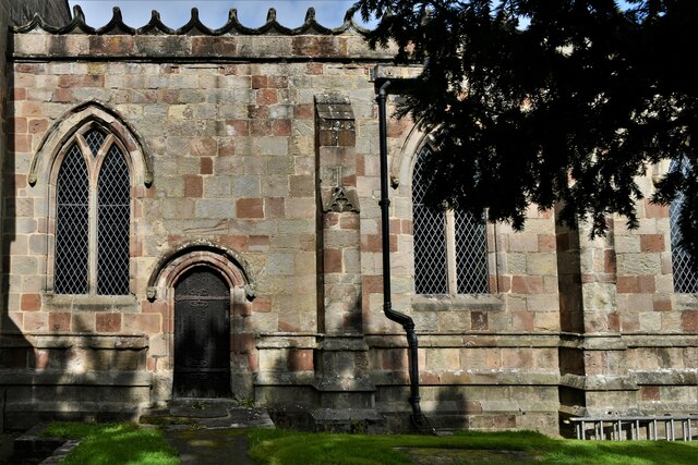
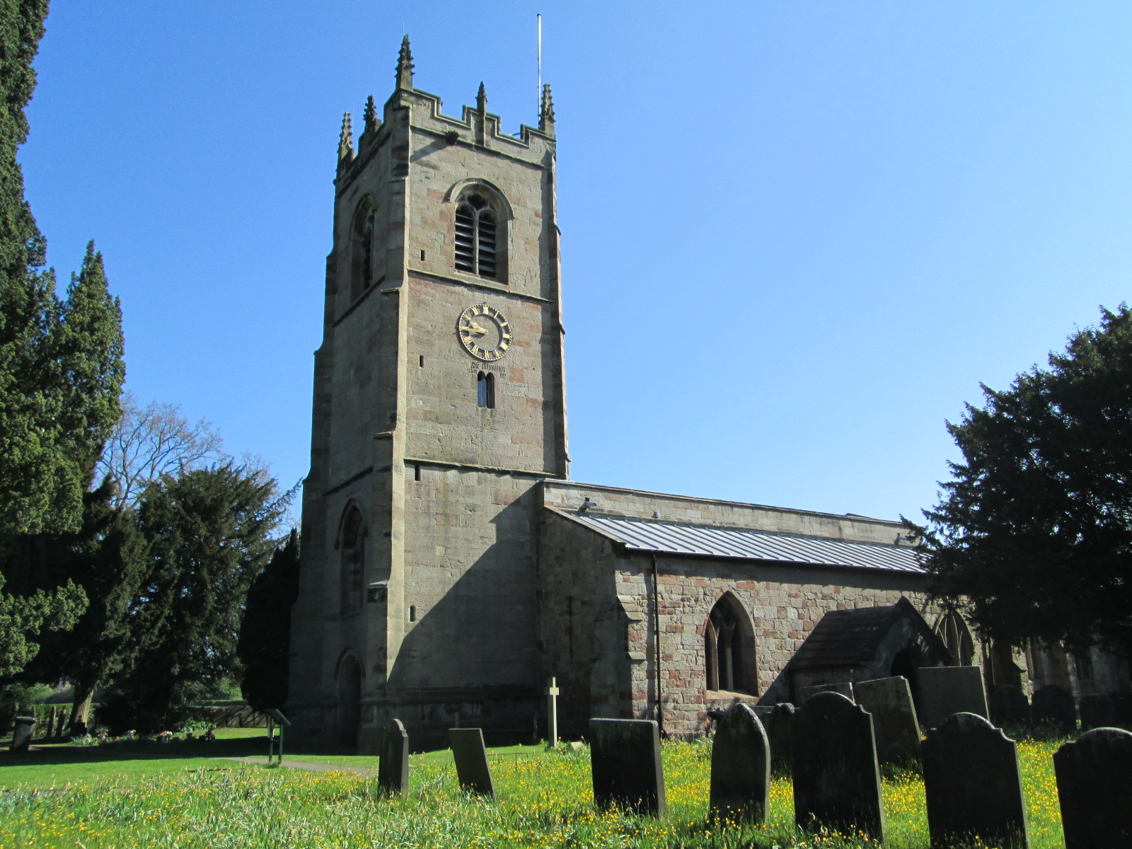
The village of Clifton boasts a rich history, dating back to medieval times. It is home to several historical landmarks, including St. Mary's Church, a Grade I listed building that dates back to the 12th century. This picturesque church is renowned for its impressive architecture and stunning stained glass windows.

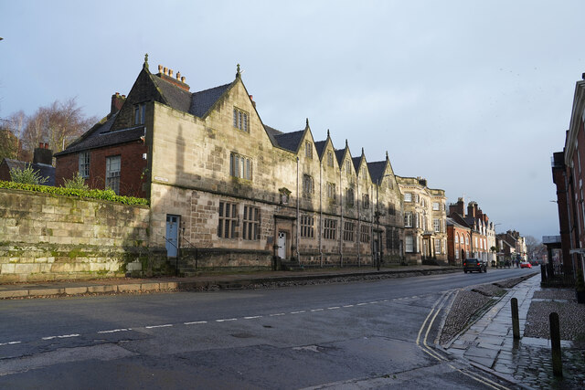
Clifton offers a range of amenities and services to its residents. The village has a primary school, providing education for local children, and a village hall that serves as a hub for community events and activities. Additionally, there are several small businesses, shops, and pubs scattered throughout the village, providing essential services and opportunities for socializing.

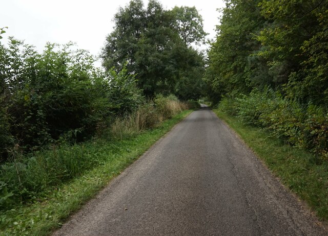
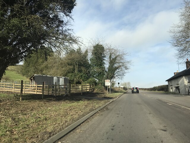
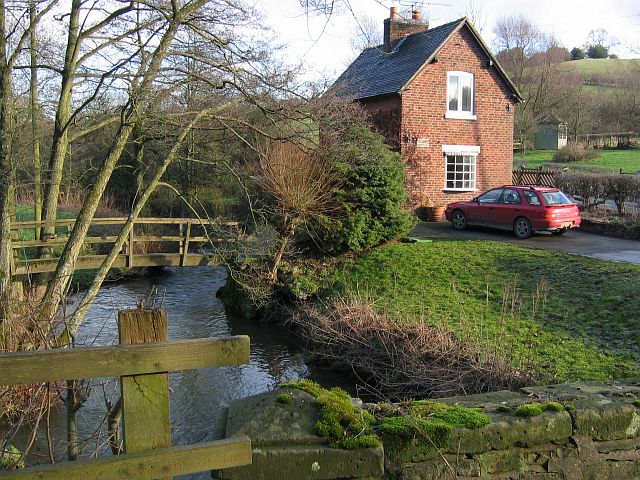
Nature lovers are drawn to Clifton for its beautiful surroundings. The village is surrounded by rolling hills, picturesque meadows, and serene woodland areas, making it an ideal location for outdoor enthusiasts. There are numerous walking and cycling routes in the vicinity, allowing residents and visitors to explore the natural beauty of the area.

Overall, Clifton is a charming village that combines a rich history, a strong sense of community, and stunning natural landscapes. Whether it's exploring historical landmarks, enjoying the outdoors, or simply immersing oneself in the village's warm atmosphere, Clifton offers something for everyone.

If you have any feedback on the listing, please let us know in the comments section below.
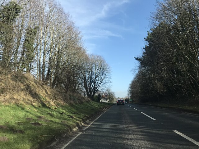
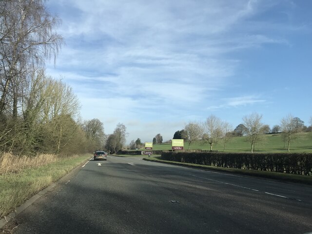
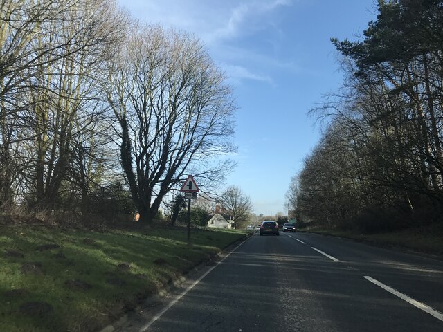
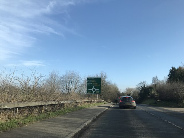
Clifton Images

Images are sourced within 2km of 53.001261/-1.7523517 or Grid Reference SK1644. Thanks to Geograph Open Source API. All images are credited.

Windmill Lane towards Snelston
St Peter's Church, Snelston
Mayfield, St. John the Baptist Church: Southern aspect
Mayfield, St. John the Baptist Church: Chancel  southern aspect
Mayfield, St. John the Baptist Church: Chancel southern aspect
Mayfield: Detached house
Mayfield, St. John the Baptist Church: Saxon cross in the churchyard
Shadows on the old Grammar School Taken from School Lane looking towards the centre of Ashbourne. The shadows on the 'Old Grammar School' are from the Old House and Mansion House opposite the former school buildings. The grammar school was endowed in 1585 during the reign of Elizabeth I. These buildings are now flats and the school is in a different part of the town.

Beyond the shadows is the Grey House.
Shadows on the old Grammar School
Taken from School Lane looking towards the centre of Ashbourne. The shadows on the 'Old Grammar School' are from the Old House and Mansion House opposite the former school buildings. The grammar school was endowed in 1585 during the reign of Elizabeth I. These buildings are now flats and the school is in a different part of the town. Beyond the shadows is the Grey House.
A515 view
A515 view
Garden Centre signage
Junction signage - A515
Roundabout signage - Ashbourne
Houses in Hangingbridge
Welcome to Staffordshire
Junction signage outside Mayfield
An unusual warning sign, Sainsbury's supermarket car park, Ashbourne Not many supermarkets warn that their car parks may be flooded
An unusual warning sign, Sainsbury's supermarket car park, Ashbourne
Not many supermarkets warn that their car parks may be flooded
Show me another place!

Clifton is located at Grid Ref: SK1644 (Lat: 53.001261, Lng: -1.7523517)

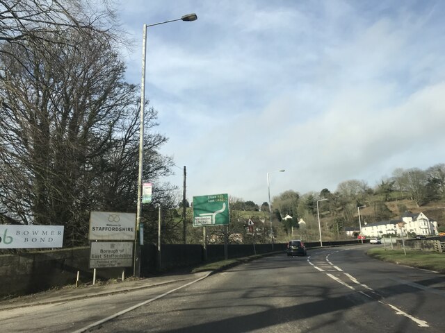
Administrative County: Derbyshire

District: Derbyshire Dales

Police Authority: Derbyshire

What 3 Words

///overhead.respected.relies. Near Mayfield, Staffordshire

Related Wikis

Clifton and Compton

Clifton and Compton is a civil parish within the Derbyshire Dales district, in the county of Derbyshire, England. The parish, despite the name, only includes...

Clifton, Derbyshire

Clifton is a village in the Derbyshire Dales district of Derbyshire, England. The village is situated about 1.2 miles (2 km) south west of Ashbourne,...

Clifton (Mayfield) railway station

Clifton (Mayfield) railway station was opened on 3 May 1852 by the North Staffordshire Railway at Clifton on the southern fringes of Ashbourne, Derbyshire...
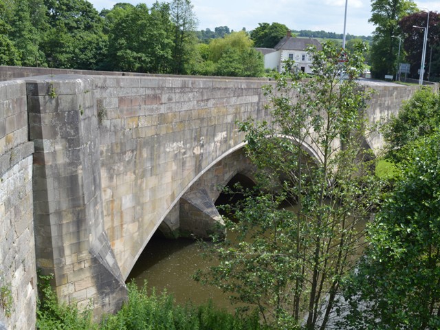
Henmore Brook

The Henmore Brook or the River Henmore is a tributary of the River Dove in Derbyshire, England, and is 20 km (12 miles) in length.In its upper reaches...

Mayfield, Staffordshire

Mayfield is a village on the outskirts of Ashbourne in Derbyshire, about 9 miles from Uttoxeter, situated in East Staffordshire. The village is divided...

St John the Baptist's Church, Mayfield

St John the Baptist's Church is an Anglican church in the village of Mayfield, Staffordshire, England. It is a Grade I listed building. The core is a Norman...

Bentley Brook, Bradbourne

The Bentley Brook or Bradbourne Brook is a small tributary of the River Dove in Derbyshire, England, and is 14.5 kilometres (9 miles) long == Name == In...

St Oswald's Hospital

St Oswald's Hospital is a healthcare facility on Clifton Road in Ashbourne, Derbyshire, England. It is managed by Derbyshire Community Health Services...

Nearby Amenities

Located within 500m of 53.001261,-1.7523517
Post Box
Brand: Royal Mail
Brand Wikidata: Q638098
Brand Wikipedia: en:Royal Mail
Operator: Royal Mail
Operator Wikidata: Q638098
Ref: DE6 817
Lat/Long: 53.00107/-1.7532887
Description: Ashbourne Royal Shrovetide Football
Ele: 105.8701172
Information: board
Tourism: information
Lat/Long: 53.0006444/-1.756597
Clifton
Place: village
Wikidata: Q5133127
Lat/Long: 53.0005677/-1.753789
Cliftoncross
Place: hamlet
Lat/Long: 53.0043767/-1.7507243
Clifton Mayfield
Historic Railway: station
Railway: site
Wikidata: Q5133165
Wikipedia: en:Clifton (Mayfield) railway station
Lat/Long: 53.000253/-1.7566239
Speedy Shop
Addr City: Ashbourne
Addr Postcode: DE6 2GL
Addr Street: Cock Hill
Addr Village: Clifton
Note: NOT associated with building which appears in satellite view - see: http://www.ashbournenewstelegraph.co.uk/Speedy-Shop-s-anniversary-trading-Clifton/story-26188135-detail/story.html Website (see website tag) also gives live stock.
Opening Hours: 07:00-23:30
Shop: convenience
Source: survey
Website: http://villagevending.com/live-stock?machine=00003
Wheelchair: yes
Lat/Long: 53.000859/-1.7549638
Bus Stop
Bench: yes
Bus: yes
Public Transport: platform
Shelter: yes
Lat/Long: 53.0009214/-1.7536349
Old Clifton Mill
Historic: ruins
Lat/Long: 53.0007996/-1.7561965
Direction: SW
Generator Method: photovoltaic
Generator Output Electricity: yes
Generator Solar Modules: 16
Generator Source: solar
Generator Type: solar_photovoltaic_panel
Location: roof
Power: generator
Lat/Long: 52.998454/-1.7523554
Direction: SW
Generator Method: photovoltaic
Generator Output Electricity: yes
Generator Solar Modules: 18
Generator Source: solar
Generator Type: solar_photovoltaic_panel
Location: roof
Power: generator
Lat/Long: 52.999001/-1.753556
Direction: SSE
Generator Method: photovoltaic
Generator Output Electricity: yes
Generator Solar Modules: 8
Generator Source: solar
Generator Type: solar_photovoltaic_panel
Location: roof
Power: generator
Lat/Long: 53.0012093/-1.7537813
Direction: SSE
Generator Method: photovoltaic
Generator Output Electricity: yes
Generator Solar Modules: 8
Generator Source: solar
Generator Type: solar_photovoltaic_panel
Location: roof
Power: generator
Lat/Long: 53.0012383/-1.753674
Direction: ESE
Generator Method: photovoltaic
Generator Output Electricity: yes
Generator Solar Modules: 16
Generator Source: solar
Generator Type: solar_photovoltaic_panel
Location: roof
Power: generator
Lat/Long: 53.0019231/-1.7523732
Direction: SSE
Generator Method: photovoltaic
Generator Output Electricity: yes
Generator Solar Modules: 10
Generator Source: solar
Generator Type: solar_photovoltaic_panel
Location: roof
Power: generator
Lat/Long: 52.9991253/-1.7516811
Direction: SW
Generator Method: photovoltaic
Generator Output Electricity: yes
Generator Solar Modules: 8
Generator Source: solar
Generator Type: solar_photovoltaic_panel
Location: roof
Power: generator
Lat/Long: 53.0046278/-1.7514994
Barrier: stile
Material: wood
Source: survey;gps
Stile: stepover
Lat/Long: 52.9983936/-1.7561334
Bench
Source: bing
Lat/Long: 53.00071/-1.7568107
Bench
Source: bing
Lat/Long: 53.0006487/-1.7564499
Ashbourne Royal Shrovetide Football Goal
Historic: monument
Lat/Long: 53.000873/-1.7564231
The data included in this document is from www.openstreetmap.org. The data is made available under ODbL.

Have you been to Clifton?

Leave your review of Clifton below (or comments, questions and feedback).