Jordan Moss

Downs, Moorland in Yorkshire Harrogate

England

Jordan Moss

North Gill Beck Looking from the top left hand corner of the square down North Gill Beck on a lovely July evening.
North Gill Beck Credit: Andy Beecroft

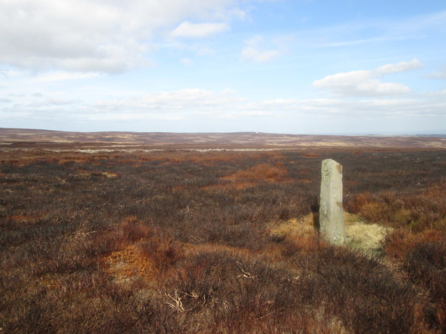
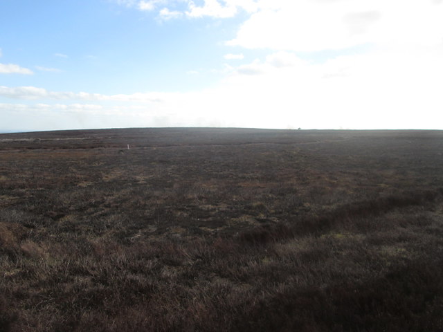
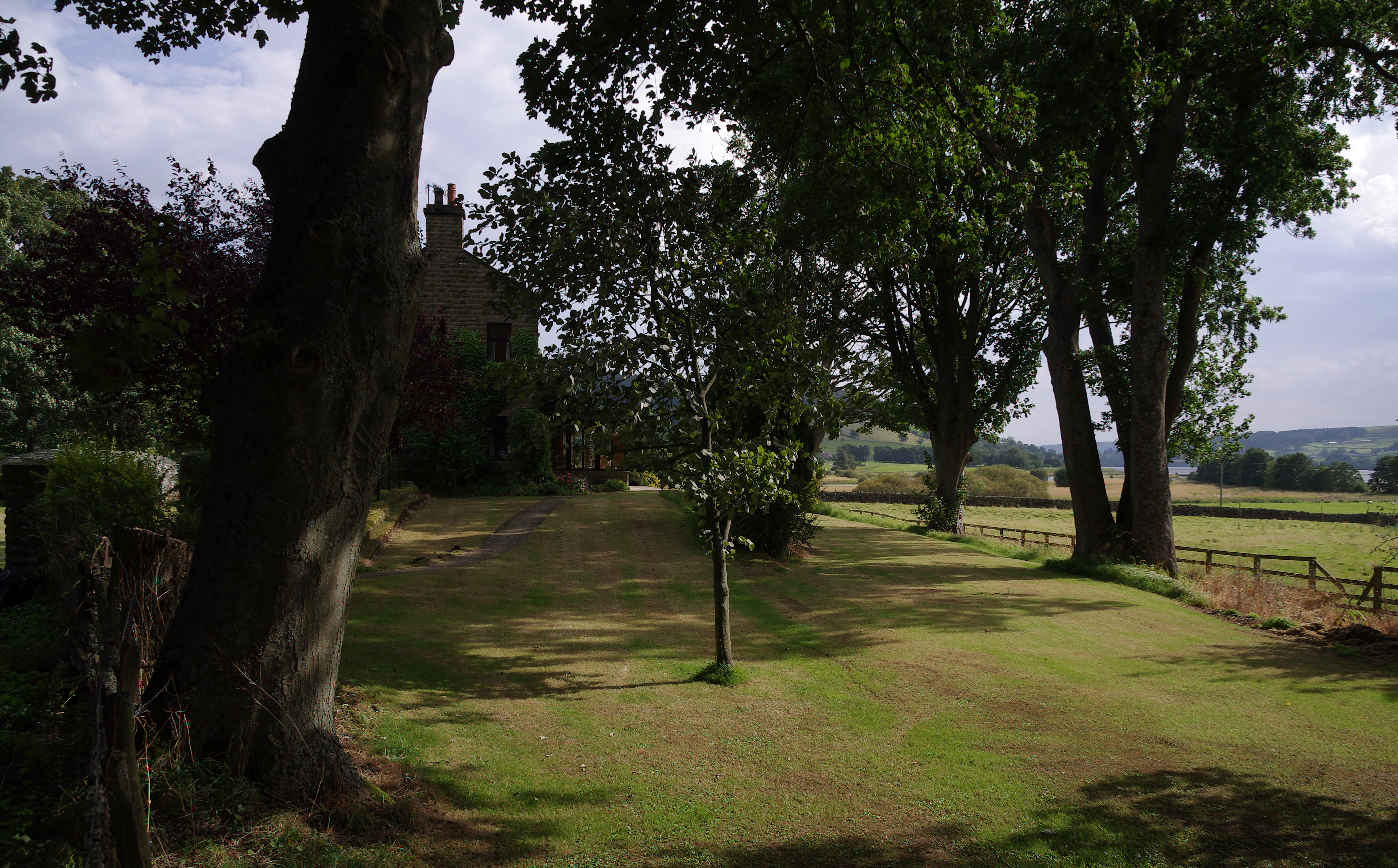
Jordan Moss is a sprawling expanse of land located in the county of Yorkshire, England. Situated in the heart of the Yorkshire Downs and Moorland, it covers a vast area of picturesque landscapes and diverse ecosystems.

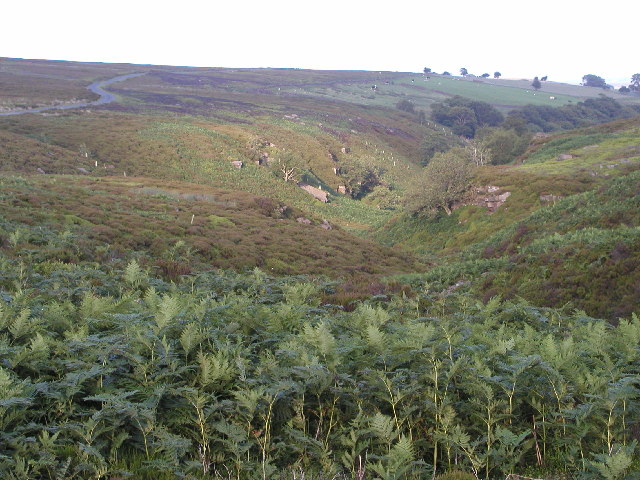
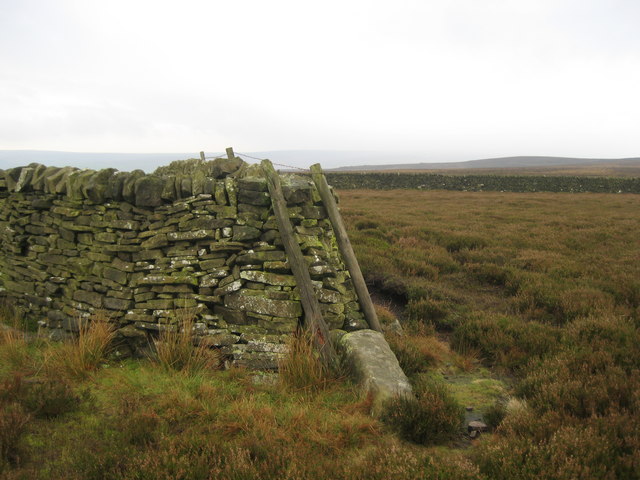
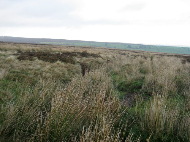
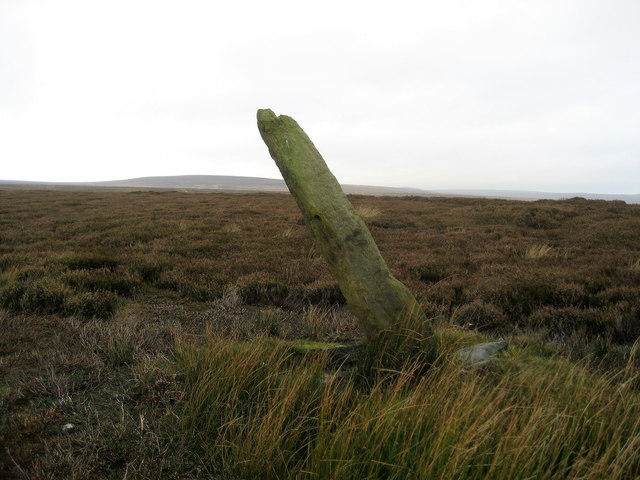
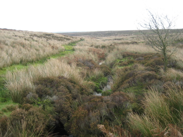
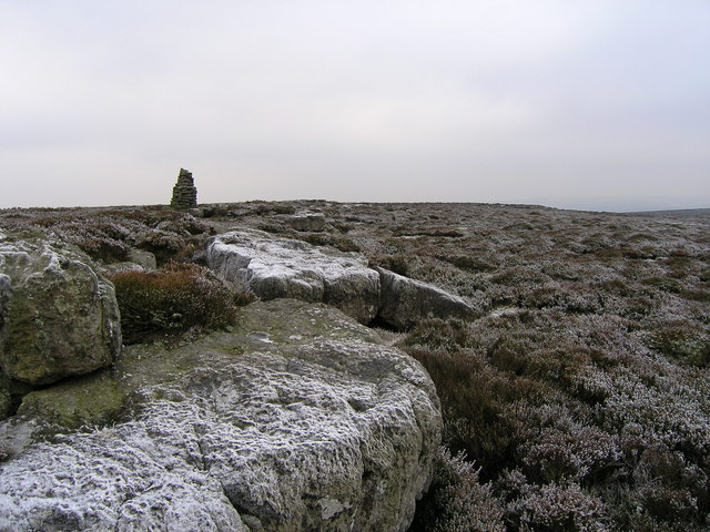
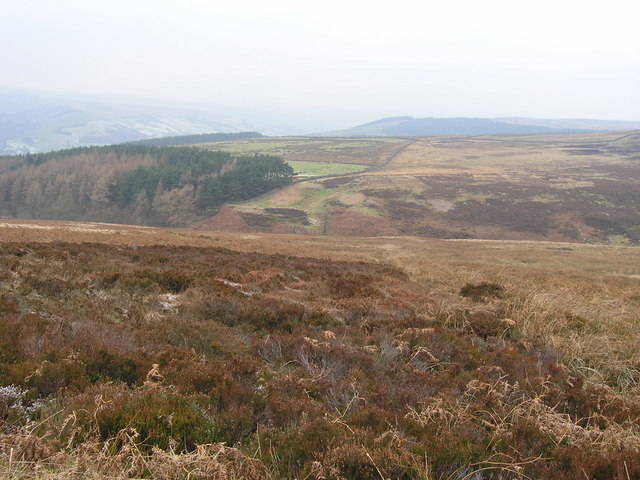
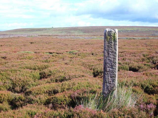
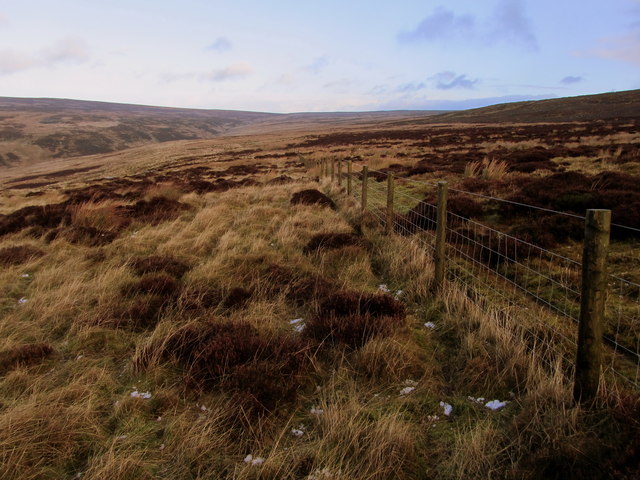
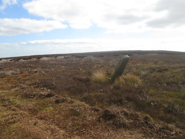
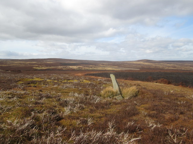
The area is characterized by its rolling hills, expansive moors, and pristine wetlands. Jordan Moss is home to a wide variety of flora and fauna, making it a haven for nature enthusiasts and wildlife lovers. The mossland is covered in thick carpets of sphagnum moss, which creates a unique and beautiful environment. It is a vital habitat for several plant species, including cotton grass, heather, and bilberry.

The wetlands of Jordan Moss serve as important breeding grounds for numerous bird species, such as curlews, lapwings, and redshanks. Birdwatchers flock to this area to witness the impressive displays of these avian inhabitants. It is also home to several rare and endangered species, including the black grouse and the golden plover.

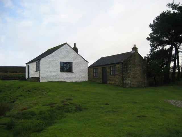
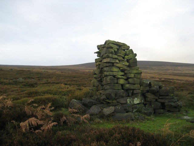
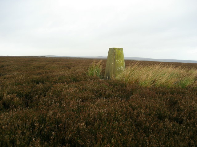
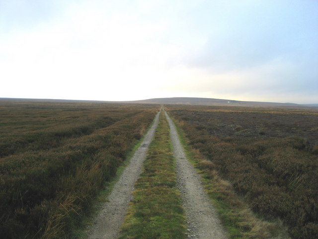
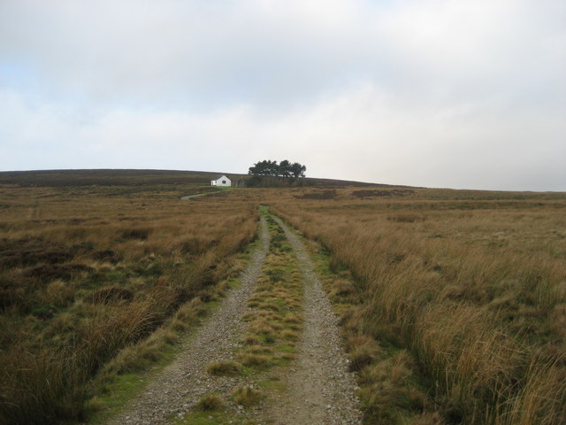
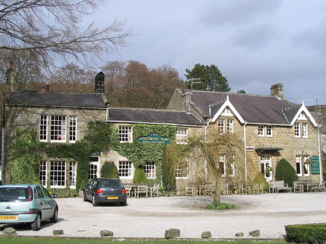
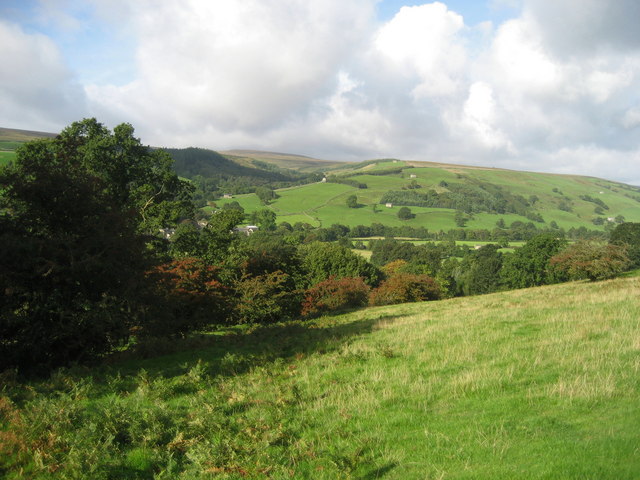
Visitors to Jordan Moss can explore the area through a network of walking trails, offering stunning views of the surrounding countryside. The landscape is dotted with picturesque villages and historic landmarks, adding to the charm of the region. The tranquility and natural beauty of Jordan Moss make it a popular destination for those seeking respite from the hustle and bustle of urban life.

Overall, Jordan Moss is a remarkable natural treasure in Yorkshire, boasting breathtaking landscapes, rich biodiversity, and a peaceful ambiance that captivates all who visit.

If you have any feedback on the listing, please let us know in the comments section below.

Jordan Moss Images

Images are sourced within 2km of 54.132163/-1.7562532 or Grid Reference SE1670. Thanks to Geograph Open Source API. All images are credited.

North Gill Beck Looking from the top left hand corner of the square down North Gill Beck on a lovely July evening.
North Gill Beck
Looking from the top left hand corner of the square down North Gill Beck on a lovely July evening.
Kettlestang Shooting House Very isolated location on the wilderness of Dallowgill Moor
Kettlestang Shooting House
Very isolated location on the wilderness of Dallowgill Moor
Rudimentary Shelter, Dallowgill Moor This very rough stone construction can be found above South Gill Beck, just off the access track to Kettlestang Shooting House
Rudimentary Shelter, Dallowgill Moor
This very rough stone construction can be found above South Gill Beck, just off the access track to Kettlestang Shooting House
Kettlestang Hill Seldom visited summit and decommissioned trig point at 1280ft. Compass bearings and a slog through heather were necessary to accomplish the climb.
Kettlestang Hill
Seldom visited summit and decommissioned trig point at 1280ft. Compass bearings and a slog through heather were necessary to accomplish the climb.
Dry Stone Wall on High Hill Not particularly high - and where is the hill?  The wall executes an "S" bend at this juncture, which makes it easy to pinpoint my location on the map in this featureless landscape
Dry Stone Wall on High Hill
Not particularly high - and where is the hill? The wall executes an "S" bend at this juncture, which makes it easy to pinpoint my location on the map in this featureless landscape
Bogs Dike This tiny watercourse is almost hidden by moorland vegetation.  Plenty of grouse in this location.
Bogs Dike
This tiny watercourse is almost hidden by moorland vegetation. Plenty of grouse in this location.
Boundary Stone, Dallowgill Moor Beside the access track to Kettlestang Shooting House, this particular stone has leaned a long way from the intended perpendicular
Boundary Stone, Dallowgill Moor
Beside the access track to Kettlestang Shooting House, this particular stone has leaned a long way from the intended perpendicular
Access Track, Dallowgill Moor Track leading to Kettlestang Shooting House
Access Track, Dallowgill Moor
Track leading to Kettlestang Shooting House
South Gill Beck Small watercourse on Dallowgill Moor
South Gill Beck
Small watercourse on Dallowgill Moor
Track on approach to Kettlestang Shooting House It is a long walk off the road to this point - now at last open to the public through access legislation
Track on approach to Kettlestang Shooting House
It is a long walk off the road to this point - now at last open to the public through access legislation
Cairn on Jordan Crags The gritstone outcrops were rimed with ice.
Cairn on Jordan Crags
The gritstone outcrops were rimed with ice.
Northwestern reaches of Sigsworth Moor looking towards plantation above Byerbeck Gill View across the frosty moorland on a raw day.
Northwestern reaches of Sigsworth Moor looking towards plantation above Byerbeck Gill
View across the frosty moorland on a raw day.
Sentinel on High Hill Standing Stone a short distance from the boundary wall, no inscriptions visible but signs of it being worked on.
Sentinel on High Hill
Standing Stone a short distance from the boundary wall, no inscriptions visible but signs of it being worked on.
Fence on Sigsworth Moor Stretch of moorland high above Upper Nidderdale
Fence on Sigsworth Moor
Stretch of moorland high above Upper Nidderdale
Boundary stone at North Cross, looking south
Boundary stone at North Cross, looking northwest Towards Harry Cross Edge with Hambleton Hill in the distance to the right
Boundary stone at North Cross, looking northwest
Towards Harry Cross Edge with Hambleton Hill in the distance to the right
Boundary stone west of Green Bank Looking north towards North Cross
Boundary stone west of Green Bank
Looking north towards North Cross
On Kettlestang Hill Looking towards the trig point. The feature on the skyline, just right of centre, is a lonely tree
On Kettlestang Hill
Looking towards the trig point. The feature on the skyline, just right of centre, is a lonely tree
Show me another place!

Jordan Moss is located at Grid Ref: SE1670 (Lat: 54.132163, Lng: -1.7562532)

Division: West Riding

Administrative County: North Yorkshire

District: Harrogate

Police Authority: North Yorkshire

What 3 Words

///qualifier.maximum.madness. Near Pateley Bridge, North Yorkshire

Nearby Locations

Jordan Moss Paddles Bog

Related Wikis

Dallowgill

Dallowgill (historically also Dallaghill) is a village in Harrogate district in North Yorkshire, England. It consists of a number of scattered settlements...

Six Dales Trail

The Six Dales Trail is a long distance footpath in North Yorkshire, England, with a short section in West Yorkshire. It is 38 miles (61 km) long and connects...

Wath-in-Nidderdale

Wath, sometimes known as Wath-in-Nidderdale to distinguish it from other places named Wath, is a village in the Harrogate district of North Yorkshire,...

Gouthwaite Reservoir

Gouthwaite Reservoir is in Nidderdale, North Yorkshire, England. It is one of many reservoirs in the area, others include Roundhill Reservoir and Angram...

Wath-in-Nidderdale railway station

Wath-in-Nidderdale railway station, was one of two intermediate stations on the Nidd Valley Light Railway, in Wath-in-Nidderdale, Yorkshire, England. The...

High and Low Bishopside

High and Low Bishopside is a civil parish in Nidderdale in the Harrogate district, in the county of North Yorkshire, England. It includes the town of Pateley...

Bouthwaite

Bouthwaite is a hamlet in the Harrogate district of North Yorkshire, England. It is situated in Nidderdale, to the north of Pateley Bridge, close to the...

Ramsgill railway station

Ramsgill railway station was a station on the Nidd Valley Light Railway in Nidderdale in Yorkshire, England. It opened in 1907 and closed in 1930. It was...

Have you been to Jordan Moss?

Leave your review of Jordan Moss below (or comments, questions and feedback).