Hauxwell Moor
Downs, Moorland in Yorkshire Richmondshire
England
Hauxwell Moor
Hauxwell Moor is a stunning expanse of moorland located in the Yorkshire Dales National Park, in North Yorkshire, England. Covering an area of approximately 3,000 acres, the moorland is situated in the upper Swaledale valley, surrounded by the picturesque Pennine Hills.
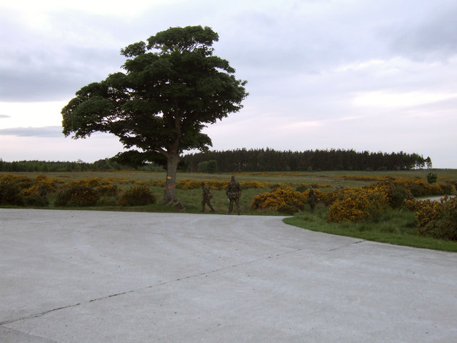
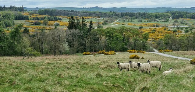
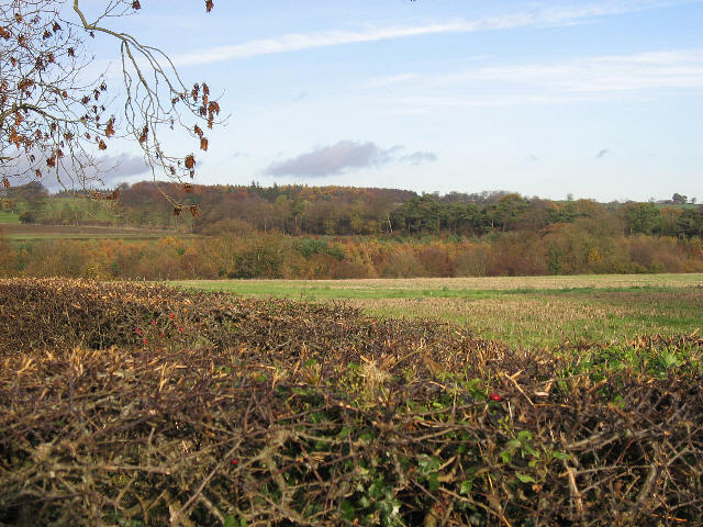
Characterized by its rugged beauty and wild landscapes, Hauxwell Moor offers visitors a unique and immersive experience of the Yorkshire countryside. The moorland is mainly composed of heather, grasses, and bracken, creating a rich tapestry of colors throughout the seasons. It is also home to a variety of wildlife, including birds such as curlews, lapwings, and golden plovers, as well as small mammals like hares and stoats.
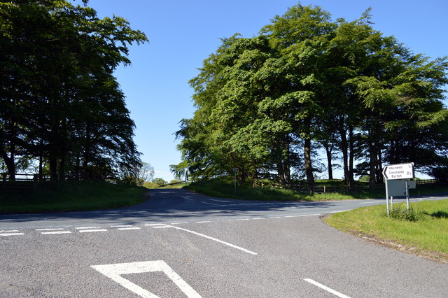
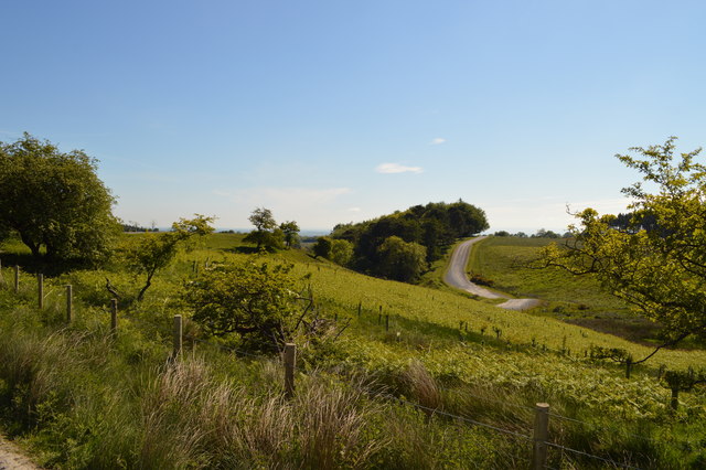
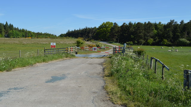
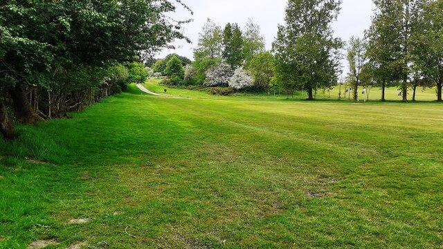
Hauxwell Moor is crisscrossed by a network of footpaths and trails, allowing visitors to explore its vast expanse on foot or by bicycle. These routes provide access to breathtaking viewpoints, where visitors can appreciate panoramic vistas of the surrounding hills and valleys. The moorland is also intersected by several streams and small rivers, adding to its natural charm.
Aside from its natural beauty, Hauxwell Moor also boasts a rich cultural heritage. The remains of ancient settlements and field systems can be found scattered across the moorland, offering glimpses into the area's past. Additionally, the moorland is an important site for archaeologists, who study the prehistoric and medieval artifacts discovered in the area.
Overall, Hauxwell Moor is a must-visit destination for nature enthusiasts, hikers, and history buffs alike. Its unspoiled landscapes, diverse wildlife, and cultural significance make it a true gem within the Yorkshire Dales National Park.
If you have any feedback on the listing, please let us know in the comments section below.
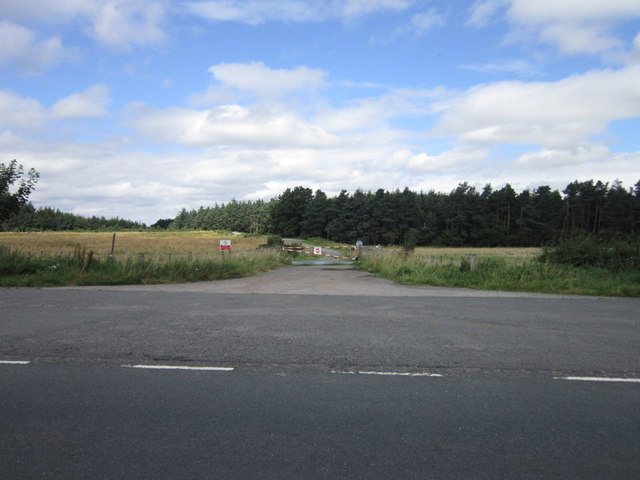
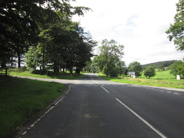
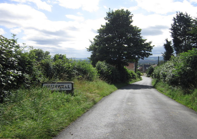
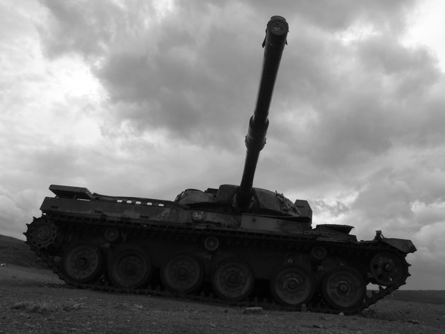
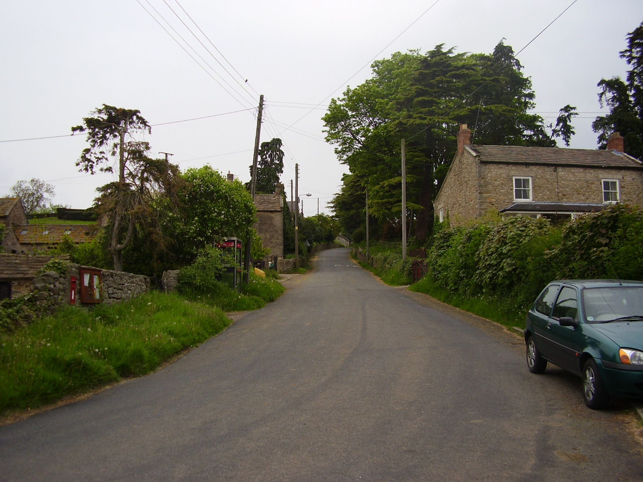
Hauxwell Moor Images
Images are sourced within 2km of 54.35704/-1.7548639 or Grid Reference SE1695. Thanks to Geograph Open Source API. All images are credited.


![Barden Lane Latest edition OS maps show this now as a 'Byway open to all traffic' [BOAT] which would suggest a change of grading from county road.](https://s0.geograph.org.uk/geophotos/04/60/07/4600756_bdb76268.jpg)


Hauxwell Moor is located at Grid Ref: SE1695 (Lat: 54.35704, Lng: -1.7548639)
Division: North Riding
Administrative County: North Yorkshire
District: Richmondshire
Police Authority: North Yorkshire
What 3 Words
///bounded.loopholes.dabbled. Near Catterick Garrison, North Yorkshire
Nearby Locations
Related Wikis
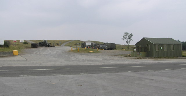
Hipswell Moor
Hipswell Moor is an area used for military training, near Catterick Garrison in North Yorkshire, England. It includes parts of the civil parishes of Barden...

Barden, Richmondshire
Barden is a hamlet and civil parish in North Yorkshire, England. It is about 5 miles (8 km) south of Richmond. According to the 2001 census the parish...
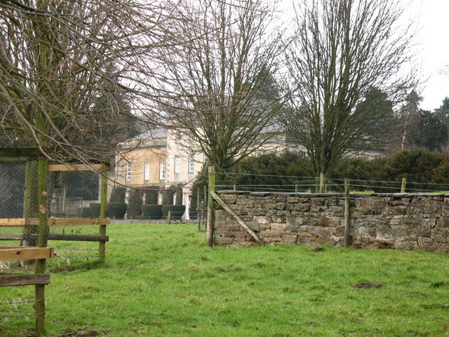
Hauxwell Hall
Hauxwell Hall or Hawkswell Hall is a grade II* listed 17th-century country house in West Hauxwell, North Yorkshire, England, some 5 miles (8 km) south...

Army Ground, Catterick
The Army Ground was a cricket ground in Catterick Garrison, North Yorkshire. The Garrison was established in 1914 and construction of a cricket ground...
East Hauxwell
East Hauxwell or Hauxwell is a village and civil parish in North Yorkshire, England. It is located south of Catterick Garrison.To the west of the village...
Catterick Camp railway station
Catterick Camp railway station was a railway station in what is now the Richmondshire district of North Yorkshire, England. It was built as the terminus...
Garriston
Garriston is a hamlet and civil parish north-east of Leyburn in North Yorkshire, England. In 2015, North Yorkshire County Council estimated the population...

A6136 road
The A6136 is a 4 digit A road in North Yorkshire, England. It runs between the A6108 Queen's Road, in the market town of Richmond, before terminating on...
Have you been to Hauxwell Moor?
Leave your review of Hauxwell Moor below (or comments, questions and feedback).