Bradley Bogs
Coastal Marsh, Saltings in Yorkshire Richmondshire
England
Bradley Bogs
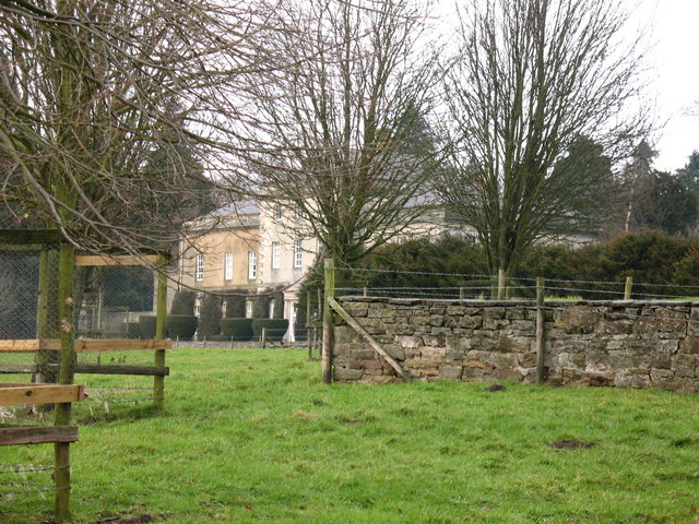
Bradley Bogs, Yorkshire, is a stunning coastal marsh and saltings area located in the northeastern part of England. Spanning approximately 200 acres, this nature reserve is a haven for wildlife and a popular destination for nature enthusiasts and birdwatchers.
The landscape of Bradley Bogs is characterized by its vast expanses of salt marshes, mudflats, and tidal channels. These unique habitats provide a vital feeding and breeding ground for a diverse range of bird species. Visitors can expect to see a wide variety of wading birds, such as curlews, redshanks, and oystercatchers, as well as numerous species of ducks and geese.
The reserve is also home to several rare and protected species, including the bittern, marsh harrier, and avocet. These birds attract birdwatchers from far and wide, who flock to Bradley Bogs to catch a glimpse of these elusive creatures.
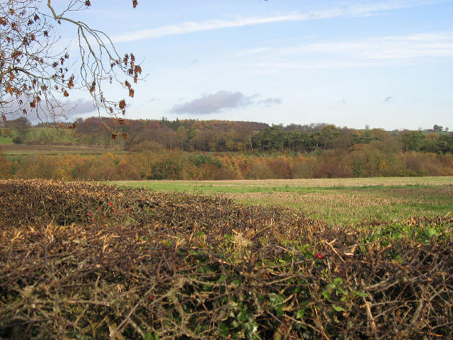
In addition to its avian inhabitants, Bradley Bogs boasts an impressive array of flora and fauna. The salt-tolerant plants that thrive in this coastal environment include sea lavender, sea aster, and samphire, which create a vibrant and colorful landscape.
The marshes and saltings of Bradley Bogs are not only important for their ecological value but also for flood prevention. These areas act as natural buffers, absorbing and storing excess water during high tide or heavy rainfall, thereby helping to protect nearby communities from flooding.
Overall, Bradley Bogs, Yorkshire, is a picturesque and ecologically significant coastal marsh and saltings area. Its stunning scenery, rich biodiversity, and important ecological functions make it a must-visit destination for nature lovers and those seeking to explore the unique coastal habitats of northeastern England.
If you have any feedback on the listing, please let us know in the comments section below.
Bradley Bogs Images
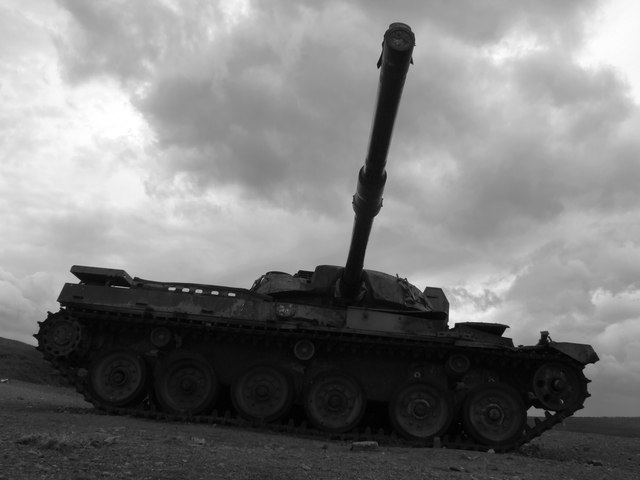
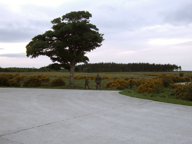
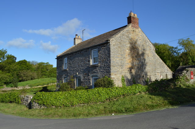
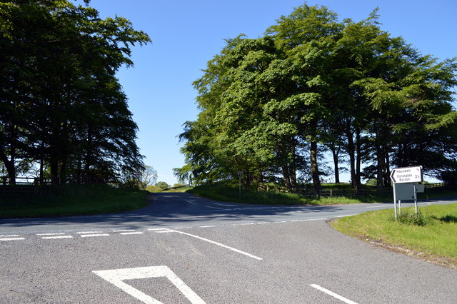
Images are sourced within 2km of 54.354525/-1.7510015 or Grid Reference SE1695. Thanks to Geograph Open Source API. All images are credited.
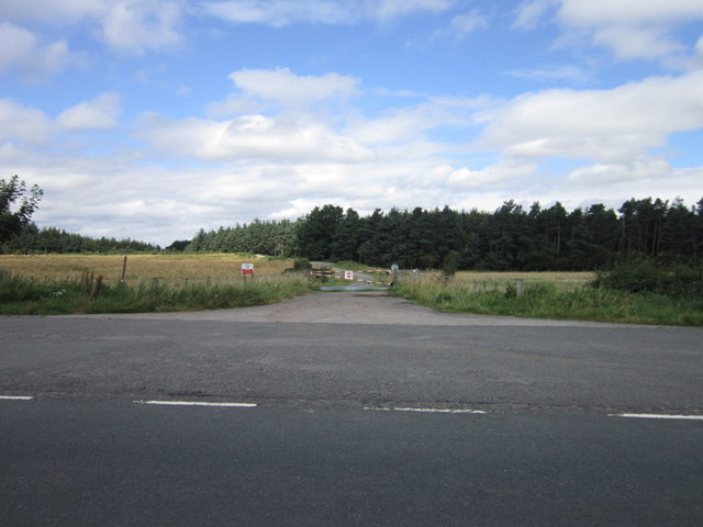


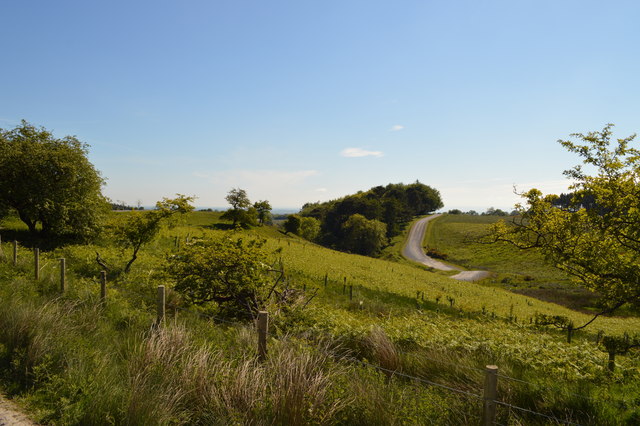

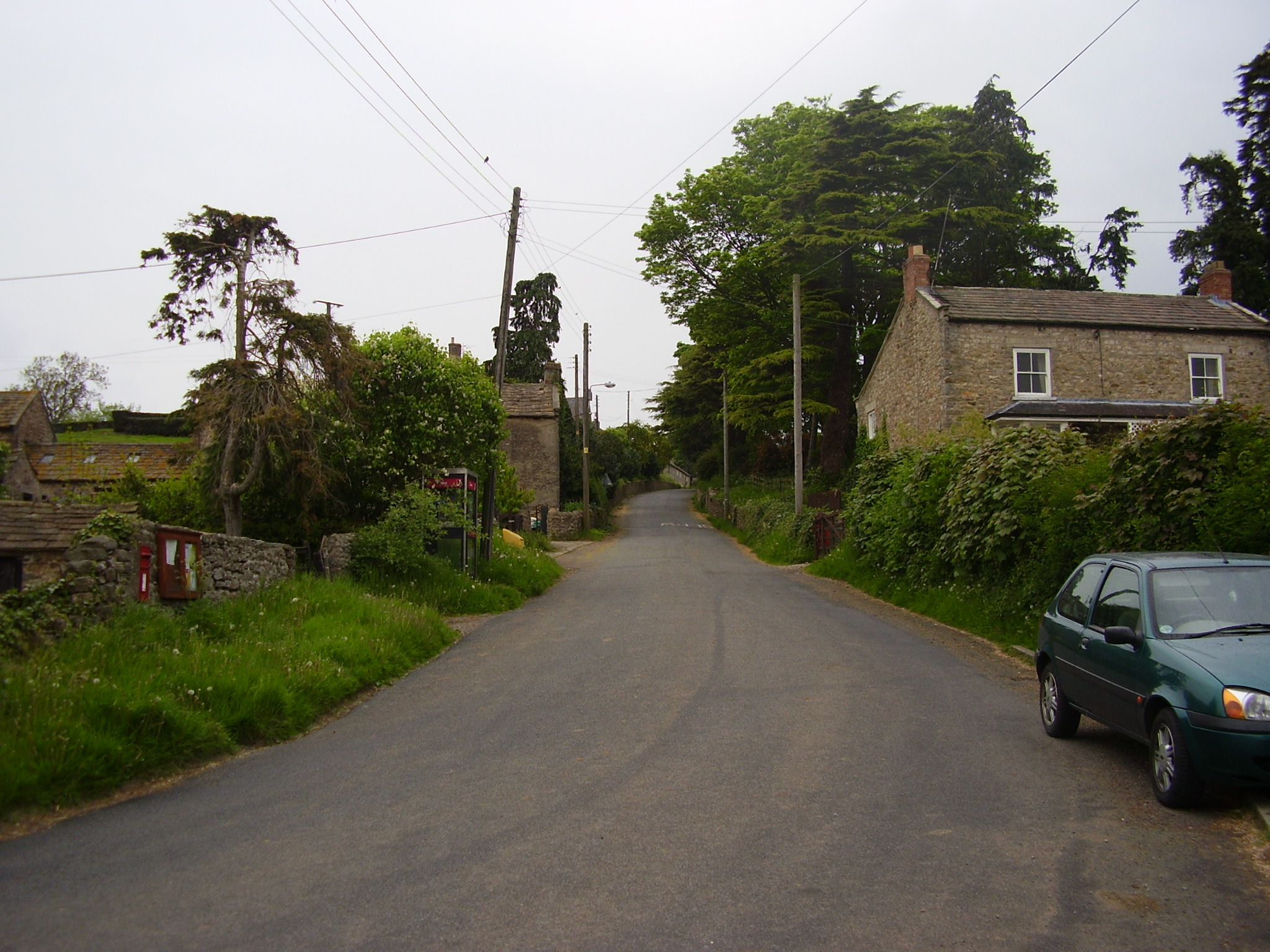
![Barden Lane Latest edition OS maps show this now as a 'Byway open to all traffic' [BOAT] which would suggest a change of grading from county road.](https://s0.geograph.org.uk/geophotos/04/60/07/4600756_bdb76268.jpg)

Bradley Bogs is located at Grid Ref: SE1695 (Lat: 54.354525, Lng: -1.7510015)
Division: North Riding
Administrative County: North Yorkshire
District: Richmondshire
Police Authority: North Yorkshire
What 3 Words
///composes.retained.owners. Near Catterick Garrison, North Yorkshire
Nearby Locations
Related Wikis

Barden, Richmondshire
Barden is a hamlet and civil parish in North Yorkshire, England. It is about 5 miles (8 km) south of Richmond. According to the 2001 census the parish...
Hauxwell Hall
Hauxwell Hall or Hawkswell Hall is a grade II* listed 17th-century country house in West Hauxwell, North Yorkshire, England, some 5 miles (8 km) south...
Hipswell Moor
Hipswell Moor is an area used for military training, near Catterick Garrison in North Yorkshire, England. It includes parts of the civil parishes of Barden...
East Hauxwell
East Hauxwell or Hauxwell is a village and civil parish in North Yorkshire, England. It is located south of Catterick Garrison.To the west of the village...
Garriston
Garriston is a hamlet and civil parish north-east of Leyburn in North Yorkshire, England. In 2015, North Yorkshire County Council estimated the population...

Catterick Camp railway station
Catterick Camp railway station was a railway station in what is now the Richmondshire district of North Yorkshire, England. It was built as the terminus...
Scotton, Richmondshire
Scotton is a village, civil parish and electoral ward in the Richmondshire district of North Yorkshire, England. The civil parish includes the centre and...
Army Ground, Catterick
The Army Ground was a cricket ground in Catterick Garrison, North Yorkshire. The Garrison was established in 1914 and construction of a cricket ground...
Have you been to Bradley Bogs?
Leave your review of Bradley Bogs below (or comments, questions and feedback).