Gallow Field

Downs, Moorland in Yorkshire Richmondshire

England

Gallow Field

Keep at Richmond Castle
Keep at Richmond Castle Credit: Peter Moore

Gallow Field is a picturesque and enchanting area located in the county of Yorkshire, England. Nestled amidst the stunning landscape of the Yorkshire Downs and Moorland, it offers visitors a unique blend of natural beauty and historical significance.

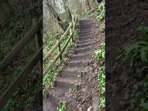
The field itself is characterized by its rolling hills, vast meadows, and scattered patches of dense woodland. The undulating terrain is adorned with vibrant wildflowers, adding a splash of color to the already breathtaking scenery. The area is also home to a variety of wildlife, including deer, rabbits, and numerous species of birds, making it a haven for nature enthusiasts and birdwatchers.

Gallow Field holds a captivating historical background, dating back centuries. The site was once used as a meeting place for local communities, where important gatherings and markets took place. It is said that the name "Gallow Field" originates from the gallows that stood in the area during medieval times, serving as a grim reminder of the justice system of the era.

Visitors to Gallow Field can enjoy a range of activities. The expansive meadows provide ample space for picnics, kite flying, and outdoor games, while the surrounding woodland offers numerous walking and hiking trails, allowing visitors to explore the area's natural wonders at their own pace.

Overall, Gallow Field is a truly captivating destination that seamlessly combines the beauty of the Yorkshire Downs with its rich historical past. It is an ideal spot for those seeking tranquility, adventure, and a deeper connection with nature and history.

If you have any feedback on the listing, please let us know in the comments section below.
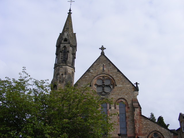
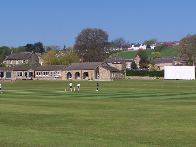
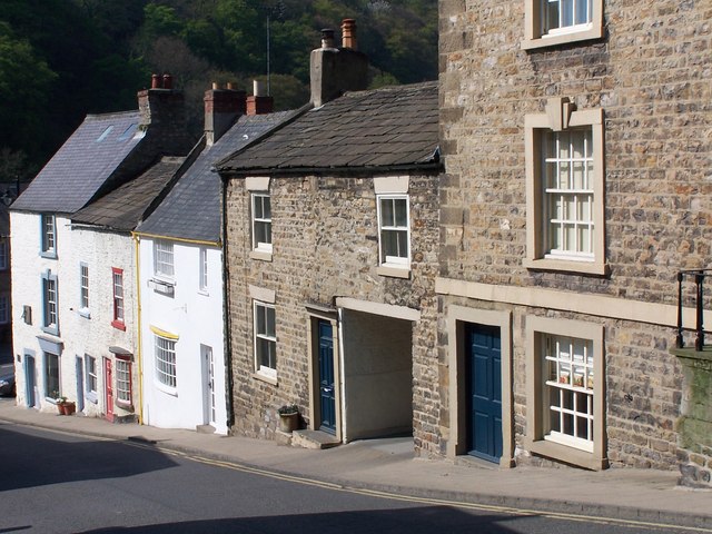
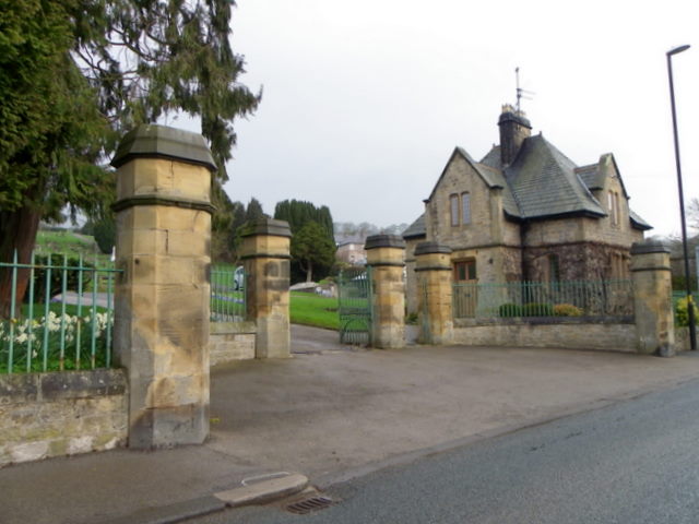
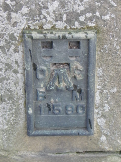
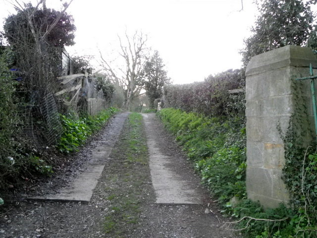
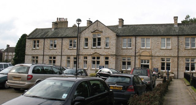
Gallow Field Images

Images are sourced within 2km of 54.412058/-1.7543359 or Grid Reference NZ1601. Thanks to Geograph Open Source API. All images are credited.

Keep at Richmond Castle
St. Francis Xavier Church, Newbiggin Beautiful Catholic Church situated toward the eastern side of the town.
St. Francis Xavier Church, Newbiggin
Beautiful Catholic Church situated toward the eastern side of the town.
War Memorial, Frenchgate The Green Howards War Memorial sits looking over the ancient street of Frenchgate in Richmond, North Yorkshire.
War Memorial, Frenchgate
The Green Howards War Memorial sits looking over the ancient street of Frenchgate in Richmond, North Yorkshire.
Brilliant flowers, Friary Gardens A spectacular blaze of spring colour in Friary Gardens
Brilliant flowers, Friary Gardens
A spectacular blaze of spring colour in Friary Gardens
Cricket ground, Richmond
Buildings in Bridge Street
Richmond market square from the Castle keep
Cemetery gates, Richmond The cemetery is beside the A6108.  There is an Ordnance Survey flush bracket on the cemetery lodge.
Cemetery gates, Richmond
The cemetery is beside the A6108. There is an Ordnance Survey flush bracket on the cemetery lodge.
Flush Bracket 11590, Richmond Cemetery The flush bracket is to be found on the cemetery lodge.  For a photograph of the building <a href="https://www.geograph.org.uk/photo/2388441">NZ1501 : Cemetery gates, Richmond</a> and for information on the flush bracket and others in the area <span class="nowrap"><a title="http://www.bench-marks.org.uk/bm10316" rel="nofollow ugc noopener" href="http://www.bench-marks.org.uk/bm10316">Link</a><img style="margin-left:2px;" alt="External link" title="External link - shift click to open in new window" src="https://s1.geograph.org.uk/img/external.png" width="10" height="10"/></span>
Flush Bracket 11590, Richmond Cemetery
The flush bracket is to be found on the cemetery lodge. For a photograph of the building NZ1501 : Cemetery gates, Richmond and for information on the flush bracket and others in the area LinkExternal link
Drive, Hudswell The drive leaves the A6108 to head towards woodland.
Drive, Hudswell
The drive leaves the A6108 to head towards woodland.
West  Curtain  Wall  Richmond  Castle Against this wall new barracks were built in 1855, they were demolished in 1935. The markings on the grass during this dry period shows the outline of some of the buildings.
West Curtain Wall Richmond Castle
Against this wall new barracks were built in 1855, they were demolished in 1935. The markings on the grass during this dry period shows the outline of some of the buildings.
Cockpit  Garden  Richmond  Castle How long a garden has existed on this site is not known, but it is likely to have been laid out when the castle was first established.
Cockpit Garden Richmond Castle
How long a garden has existed on this site is not known, but it is likely to have been laid out when the castle was first established.
River Swale falls, Richmond (N Yorks) Looking downstream from below the car park at Riverside Road, these are one of the last waterfalls on the Swale before the river reaches lower country.
River Swale falls, Richmond (N Yorks)
Looking downstream from below the car park at Riverside Road, these are one of the last waterfalls on the Swale before the river reaches lower country.
Cornforth Hill, Richmond (N Yorks) Seen from the castle walls and looking towards Culloden Tower <span class="nowrap"><a title="http://www.richmond.org/guide/culloden-tower.html" rel="nofollow ugc noopener" href="http://www.richmond.org/guide/culloden-tower.html">Link</a><img style="margin-left:2px;" alt="External link" title="External link - shift click to open in new window" src="https://s1.geograph.org.uk/img/external.png" width="10" height="10"/></span> in the distance (top, just left of centre).
Cornforth Hill, Richmond (N Yorks)
Seen from the castle walls and looking towards Culloden Tower LinkExternal link in the distance (top, just left of centre).
Green Bridge, Richmond (N Yorks) Seen from Bridge Terrace, Green Bridge (so called because it crosses the River Swale to the Richmond Green) was built in 1788-9. Dates and names of the Mayors of the time are carved on the centre of the bridge which was designed by Yorkshire Georgian architect John Carr.
Green Bridge, Richmond (N Yorks)
Seen from Bridge Terrace, Green Bridge (so called because it crosses the River Swale to the Richmond Green) was built in 1788-9. Dates and names of the Mayors of the time are carved on the centre of the bridge which was designed by Yorkshire Georgian architect John Carr.
Castle Keep, Richmond (N Yorks) A 12th century addition to the castle, which was built starting in 1071 as a military stronghold on land gifted to Alan the Red of Brittany by William the Conqueror. The keep is the best-preserved part of the castle and towers over 100 feet above the town. It was built with eleven feet thick walls over the original gate-house and is now operated by English Heritage <span class="nowrap"><a title="http://www.english-heritage.org.uk/daysout/properties/richmond-castle/" rel="nofollow ugc noopener" href="http://www.english-heritage.org.uk/daysout/properties/richmond-castle/">Link</a><img style="margin-left:2px;" alt="External link" title="External link - shift click to open in new window" src="https://s1.geograph.org.uk/img/external.png" width="10" height="10"/></span> .
Castle Keep, Richmond (N Yorks)
A 12th century addition to the castle, which was built starting in 1071 as a military stronghold on land gifted to Alan the Red of Brittany by William the Conqueror. The keep is the best-preserved part of the castle and towers over 100 feet above the town. It was built with eleven feet thick walls over the original gate-house and is now operated by English Heritage LinkExternal link .
Swale falls at Richmond (N Yorks) Looking across the river from below the car park at Riverside Road, these are one of the last waterfalls on the Swale before the river reaches lower country.
Swale falls at Richmond (N Yorks)
Looking across the river from below the car park at Riverside Road, these are one of the last waterfalls on the Swale before the river reaches lower country.
River Swale at Richmond (N Yorks) Looking across the river above the falls, seen from close to Riverside Road.
River Swale at Richmond (N Yorks)
Looking across the river above the falls, seen from close to Riverside Road.
Show me another place!

Gallow Field is located at Grid Ref: NZ1601 (Lat: 54.412058, Lng: -1.7543359)

Division: North Riding

Administrative County: North Yorkshire

District: Richmondshire

Police Authority: North Yorkshire

What 3 Words

///soon.gross.sandbags. Near Richmond, North Yorkshire

Nearby Locations

Gallow Field Hurgill

Related Wikis

Richmond Racecourse

Richmond Racecourse was a British horse racing track situated at Richmond, North Yorkshire at first High Moor, then Low Moor, from 1765 to 1776. It was...

St Joseph and St Francis Xavier Church

St Joseph and St Francis Xavier Church is a Roman Catholic Parish church in Richmond, North Yorkshire. It is situated between Newbiggin and Victoria Road...

Friary Community Hospital

The Friary Community Hospital is a health facility in Queen's Road, Richmond, North Yorkshire, England. It is managed by South Tees Hospitals NHS Foundation...

Victoria Hospital, Richmond

The Victoria Hospital was a health facility in Queen's Road, Richmond, North Yorkshire, England. It is now used as a funeral director's offices and remains...

Greyfriars, Richmond

Greyfriars, Richmond was a friary in North Yorkshire, England. Its bell tower still survives and dates from the 15th century. Its establishment as a friary...

Georgian Theatre Royal

The Georgian Theatre Royal is a theatre and historic Georgian playhouse in the market town of Richmond, North Yorkshire, England. It is among the oldest...

Richmond Barracks, North Yorkshire

Richmond Barracks was a military installation in Richmond, North Yorkshire. == History == The barracks were built as the depot of the two battalions of...

Richmondshire Museum

The Richmondshire Museum is a museum located in Richmond in North Yorkshire, England.The Museum Trust was founded in 1974 by the Soroptimists of Richmond...

Related Videos

Coast to Coast: Solo Hiking Across the Country - Day 10 (4K)

Join me on Patreon! https://www.patreon.com/TinyPineOutdoors Day 10 of solo hiking the Coast to Coast, I packed away my tent ...

Exploring RICHMOND, North Yorkshire, England

Richmond North Yorkshire, England. A market town at the gateway to the Yorkshire Dales. Famous for it's castle, market square ...

Nearby Amenities

Located within 500m of 54.412058,-1.7543359
Barrier: stile
Lat/Long: 54.4097399/-1.7525249
Tourism: viewpoint
Lat/Long: 54.4088109/-1.7547897
Barrier: stile
Lat/Long: 54.4088571/-1.7545418
Barrier: kissing_gate
Lat/Long: 54.4090859/-1.7586087
Barrier: kissing_gate
Lat/Long: 54.4089716/-1.7562659
Barrier: stile
Lat/Long: 54.4087242/-1.7528411
Barrier: kissing_gate
Lat/Long: 54.4086235/-1.7529607
Barrier: stile
Lat/Long: 54.4122612/-1.7569079
Belleisle
Place: farm
Lat/Long: 54.4098648/-1.754861
The Garage
Addr City: Richmond
Addr Street: Mercury Road
Shop: car_repair
Lat/Long: 54.4120484/-1.7497005
Geoff Yarrow
Addr City: Richmond
Addr Street: Mercury Road
Craft: glaziery
Phone: +44 1748 850 305
Lat/Long: 54.4117657/-1.7496491
Victoria Garage
Addr City: Richmond
Addr Street: Mercury Road
Shop: car_repair
Lat/Long: 54.4120547/-1.7489214
Richmond Garage Services
Addr City: Richmond
Addr Street: Firby Road
Phone: +44 1748 822615
Shop: car_repair
Lat/Long: 54.4121556/-1.7476827
R Bramley
Addr City: Richmond
Addr Housenumber: 51
Addr Street: Racecourse Court
Phone: +44 1748 822 800
Shop: car_repair
Lat/Long: 54.4116572/-1.7477145
Power: pole
Lat/Long: 54.416399/-1.7532695
Power: pole
Lat/Long: 54.4164754/-1.7549995
Centre Barks
Shop: pet_grooming
Lat/Long: 54.4115639/-1.749598
Richmond Timber Products
Shop: trade
Trade: timber
Lat/Long: 54.4113847/-1.7474626
Waste Basket
Waste: dog_excrement
Lat/Long: 54.412932/-1.7574453
Generator Method: photovoltaic
Generator Output Electricity: yes
Generator Source: solar
Generator Type: solar_photovoltaic_panel
Location: roof
Power: generator
Lat/Long: 54.4124704/-1.7475382
Barrier: stile
Lat/Long: 54.4163601/-1.7551565
Access: no
Barrier: stile
Foot: yes
Material: stone
Stile: squeezer
Lat/Long: 54.4132086/-1.7493432
The data included in this document is from www.openstreetmap.org. The data is made available under ODbL.

Have you been to Gallow Field?

Leave your review of Gallow Field below (or comments, questions and feedback).