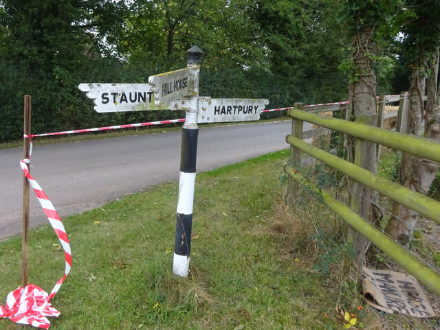
Hartpury
Settlement in Gloucestershire Forest of Dean
England
Hartpury

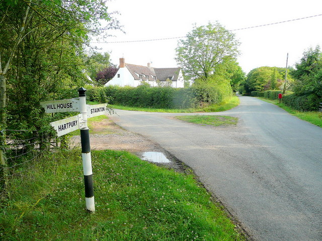
Hartpury is a small village located in the county of Gloucestershire, England. Situated approximately 6 miles north of the city of Gloucester, it is nestled in the picturesque countryside of the Severn Vale. With a population of around 2,000 residents, Hartpury maintains a close-knit community atmosphere.
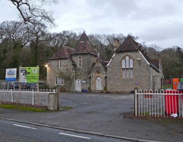
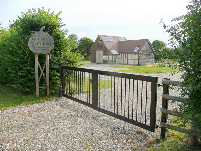
The village is well-known for its association with Hartpury University and Hartpury College, which are internationally recognized for their excellence in equine, sport, and animal science education. The educational institutions attract students from all over the world, contributing to the vibrant and diverse community in Hartpury.
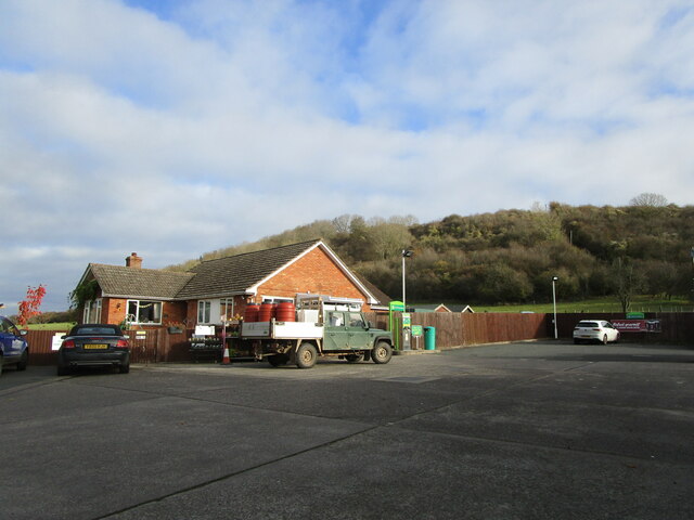
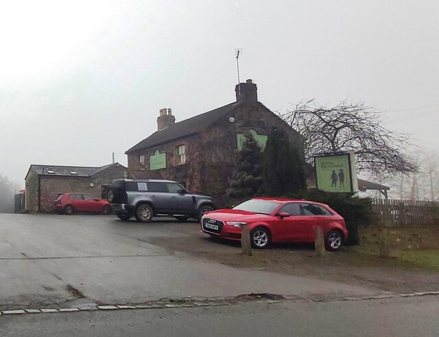
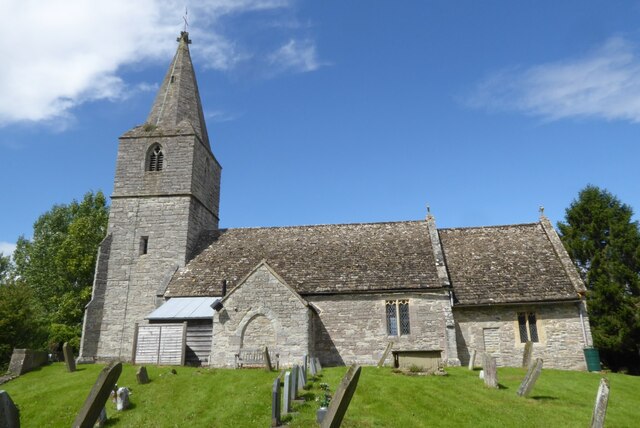
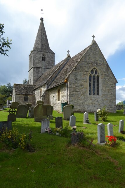
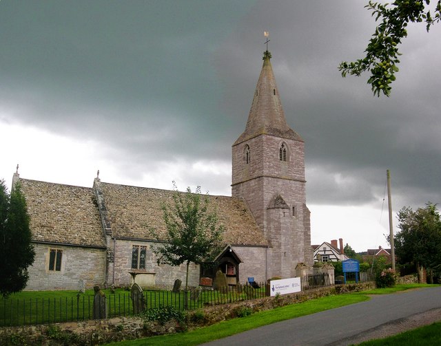
Despite its small size, Hartpury offers a range of amenities and facilities to cater to the needs of its residents. These include a village hall, a post office, a primary school, and a local pub. The village also boasts a number of historic landmarks, such as St. Mary's Church, which dates back to the 12th century, and Hartpury House, a magnificent Grade I listed building.
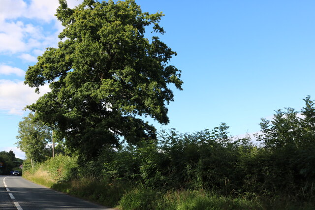
The surrounding countryside provides ample opportunities for outdoor activities and leisure pursuits. The nearby River Severn offers scenic walks and fishing spots, while the Cotswolds Area of Outstanding Natural Beauty is just a short drive away, providing stunning landscapes for hiking and exploring.
Overall, Hartpury is a charming village that seamlessly blends its rich history with its modern-day educational institutions, offering a unique and picturesque setting for residents and visitors alike.
If you have any feedback on the listing, please let us know in the comments section below.
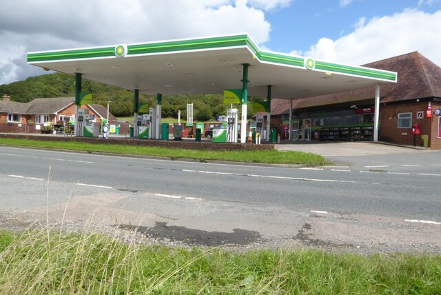
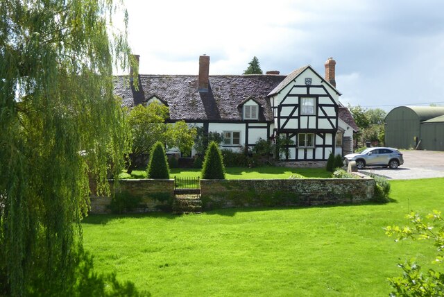
Hartpury Images
Images are sourced within 2km of 51.922516/-2.291798 or Grid Reference SO8024. Thanks to Geograph Open Source API. All images are credited.


Hartpury is located at Grid Ref: SO8024 (Lat: 51.922516, Lng: -2.291798)
Administrative County: Gloucestershire
District: Forest of Dean
Police Authority: Gloucestershire
What 3 Words
///decays.printout.regime. Near Corse, Gloucestershire
Nearby Locations
Related Wikis

Hartpury
Hartpury is a civil parish in Gloucestershire, England. It has an area of about 3,500 acres (1,400 ha), about 270 homes and a population of about 700 people...

Ashleworth
Ashleworth (sometimes formerly spelled ‘Ashelworth’) is a village and civil parish in the Tewkesbury district of Gloucestershire, England, with a population...

Foscombe
Foscombe is a grade II* listed country house in Ashleworth, Gloucestershire. It was built around 1860 in the Gothic Revival style for the personal use...

Ashleworth Court
Ashleworth Court is a grade I listed house close to the River Severn in Ashleworth, Gloucestershire, England.The site has revealed pottery from Roman Britain...
Ashleworth Tithe Barn
Ashleworth Tithe Barn is a large 15th-century tithe barn located at Ashleworth, Gloucestershire, England, standing close to the River Severn. It is a Grade...
Corse, Gloucestershire
Corse is a village in the English county of Gloucestershire, next to the village of Staunton. The parish lies on the tongue of land between the River Severn...

Hartpury University F.C.
Hartpury University Football Club is a football club based in Hartpury, England, and are the football team of the Hartpury College. They are currently...
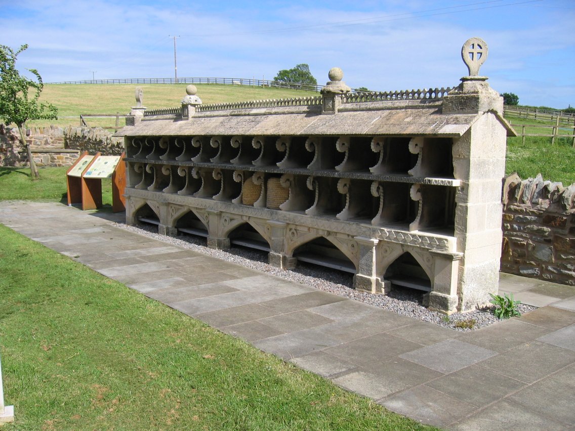
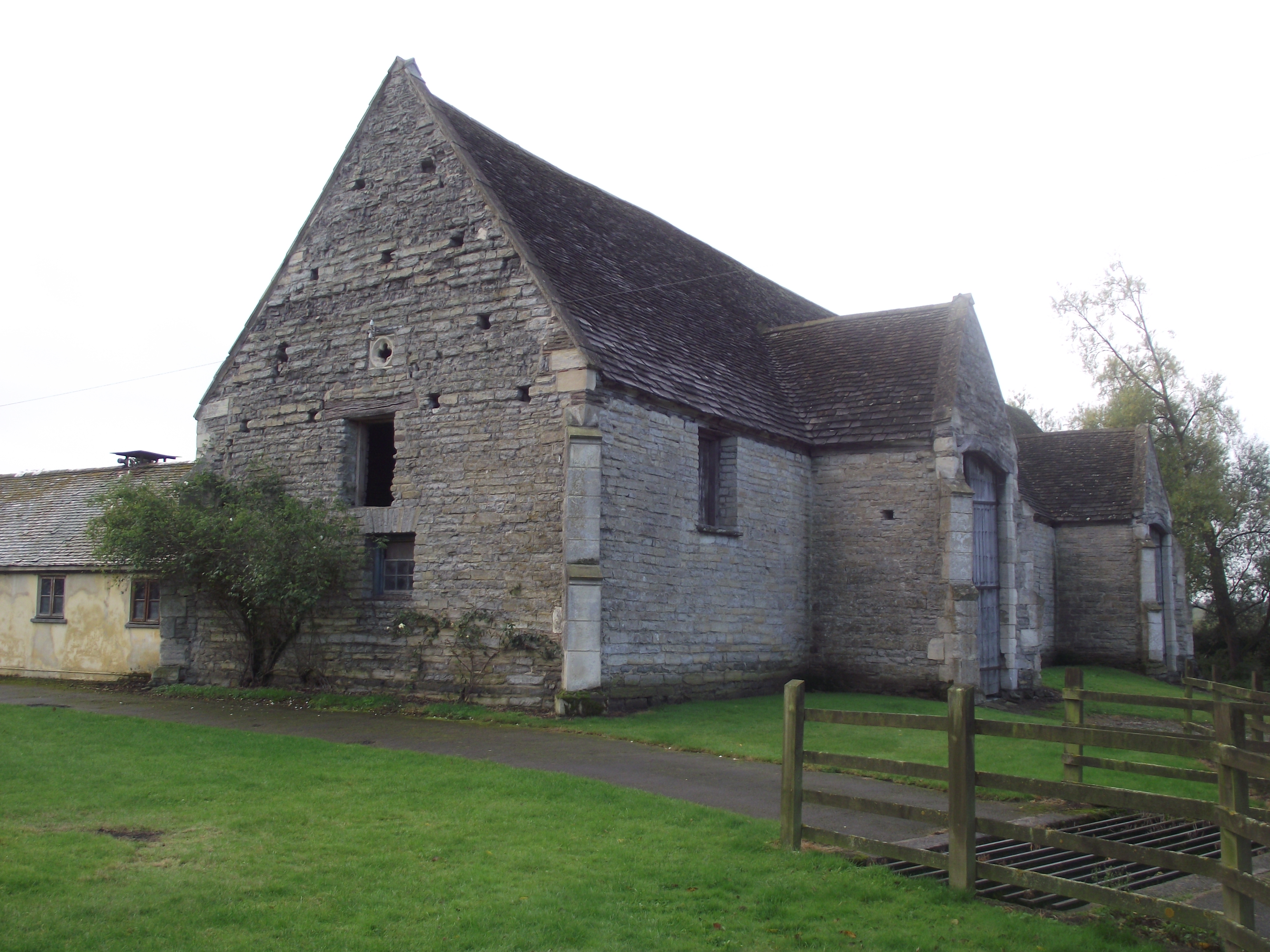
The Bee Shelter, Hartpury
The Bee Shelter, Hartpury, Forest of Dean, Gloucestershire, England, is a 19th-century bee shelter. It is a Grade II* listed structure. == History and... ==
Nearby Amenities
Located within 500m of 51.922516,-2.291798Have you been to Hartpury?
Leave your review of Hartpury below (or comments, questions and feedback).