Dean's Coppice
Wood, Forest in Gloucestershire Tewkesbury
England
Dean's Coppice
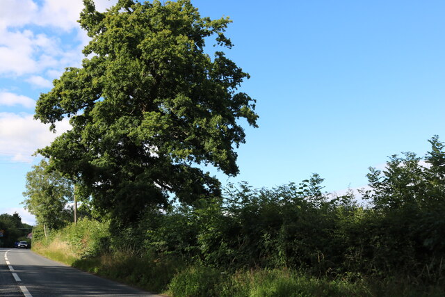
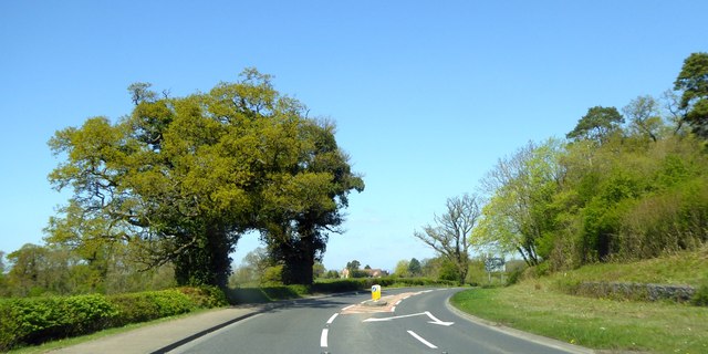
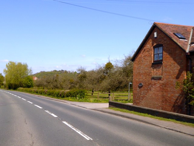
Dean's Coppice is a picturesque woodland located in Gloucestershire, England. Situated on the eastern edge of the Forest of Dean, this ancient woodland covers an area of approximately 200 acres. It is known for its diverse range of tree species, including oak, beech, ash, birch, and hazel, which create a rich and vibrant forest ecosystem.
The forest is a popular destination for nature lovers, hikers, and wildlife enthusiasts. Its well-maintained footpaths and trails offer visitors the opportunity to explore the woodland and discover its hidden treasures. The forest floor is adorned with a variety of wildflowers, such as bluebells, wood anemones, and primroses, adding to the area's natural beauty.
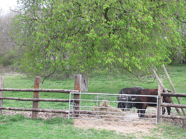
Dean's Coppice is home to an abundance of wildlife, making it a haven for nature enthusiasts. The forest provides a habitat for numerous bird species, including woodpeckers, owls, and various songbirds. It is also inhabited by mammals such as badgers, foxes, and deer, which can occasionally be spotted by lucky visitors.
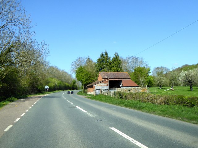
In addition to its natural beauty, Dean's Coppice holds historical and cultural significance. The woodland has been used for centuries as a source of timber and fuel, and evidence of charcoal burning can still be found within the forest. The area also features remnants of ancient settlements, including Iron Age hill forts, further adding to its historical charm.
Overall, Dean's Coppice offers a serene and enchanting experience for anyone seeking to immerse themselves in the natural wonders of Gloucestershire's woodlands.
If you have any feedback on the listing, please let us know in the comments section below.
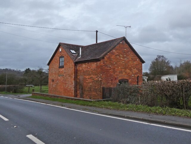
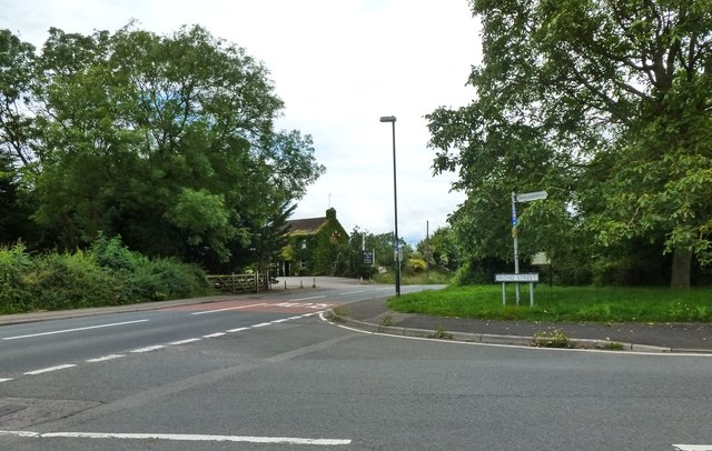
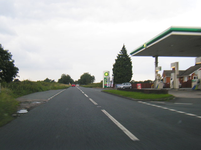
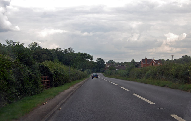
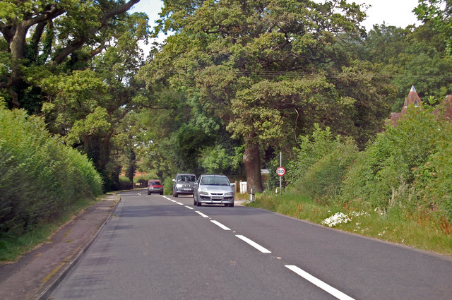
Dean's Coppice Images
Images are sourced within 2km of 51.922089/-2.2802871 or Grid Reference SO8024. Thanks to Geograph Open Source API. All images are credited.


Dean's Coppice is located at Grid Ref: SO8024 (Lat: 51.922089, Lng: -2.2802871)
Administrative County: Gloucestershire
District: Tewkesbury
Police Authority: Gloucestershire
What 3 Words
///boats.flag.aviators. Near Corse, Gloucestershire
Nearby Locations
Related Wikis

Ashleworth
Ashleworth (sometimes formerly spelled ‘Ashelworth’) is a village and civil parish in the Tewkesbury district of Gloucestershire, England, with a population...

Ashleworth Court
Ashleworth Court is a grade I listed house close to the River Severn in Ashleworth, Gloucestershire, England.The site has revealed pottery from Roman Britain...
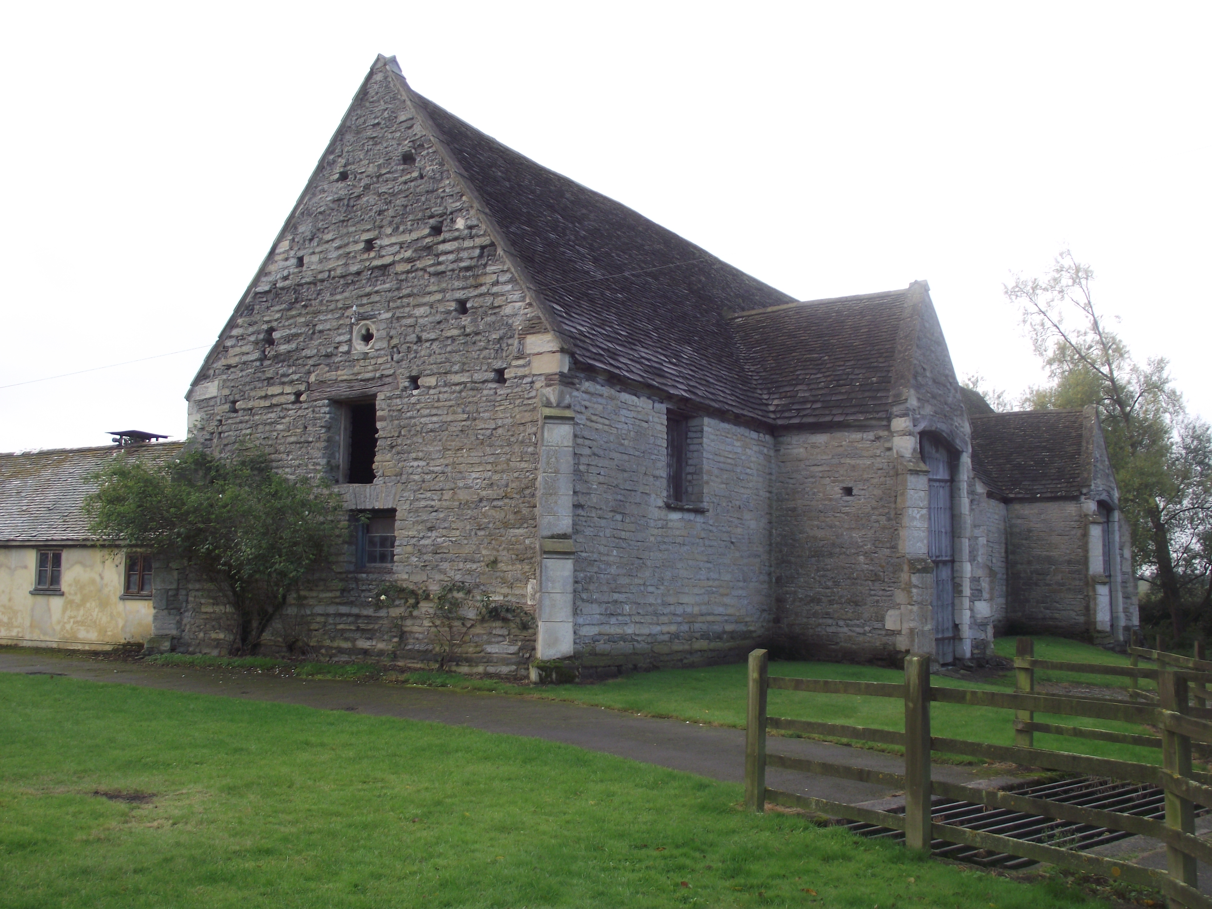
Ashleworth Tithe Barn
Ashleworth Tithe Barn is a large 15th-century tithe barn located at Ashleworth, Gloucestershire, England, standing close to the River Severn. It is a Grade...

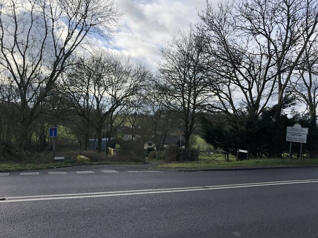
Hartpury
Hartpury is a civil parish in Gloucestershire, England. It has an area of about 3,500 acres (1,400 ha), about 270 homes and a population of about 700 people...

Foscombe
Foscombe is a grade II* listed country house in Ashleworth, Gloucestershire. It was built around 1860 in the Gothic Revival style for the personal use...

Hartpury University F.C.
Hartpury University Football Club is a football club based in Hartpury, England, and are the football team of the Hartpury College. They are currently...
Corse, Gloucestershire
Corse is a village in the English county of Gloucestershire, next to the village of Staunton. The parish lies on the tongue of land between the River Severn...

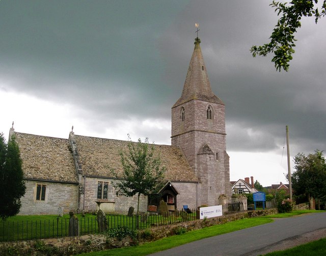
St Lawrence's Church, Sandhurst
The Church of St Lawrence is a Grade II* listed Church of England church in Sandhurst, Gloucestershire.It was rebuilt to a design by Thomas Fulljames in...
Nearby Amenities
Located within 500m of 51.922089,-2.2802871Have you been to Dean's Coppice?
Leave your review of Dean's Coppice below (or comments, questions and feedback).