Mantlehill Plantation

Wood, Forest in Northumberland

England

Mantlehill Plantation

High Carriteth Burn With High Carriteth farm in the background.
High Carriteth Burn Credit: Russel Wills

Mantlehill Plantation is a sprawling woodland area located in Northumberland, England. Covering an extensive area of lush greenery and diverse wildlife, this plantation is a haven for nature enthusiasts and outdoor adventurers alike.

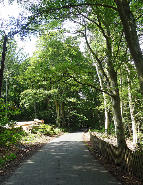
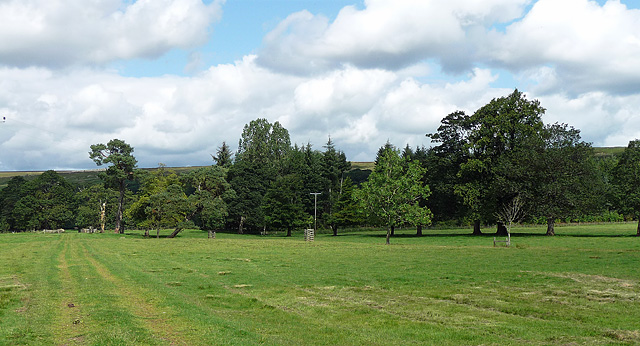
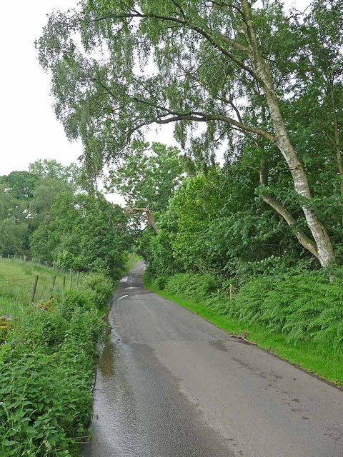
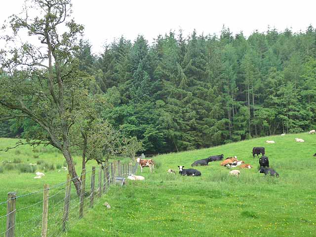
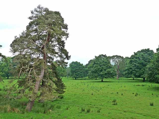
The plantation is primarily composed of a mixture of deciduous and coniferous trees, providing a diverse and picturesque landscape. The towering oak, beech, and birch trees create a dense canopy, casting shadows on the forest floor and offering a cool respite during hot summer days. The presence of evergreen species, such as spruce and pine, adds a touch of vibrancy to the plantation, especially during the winter months.

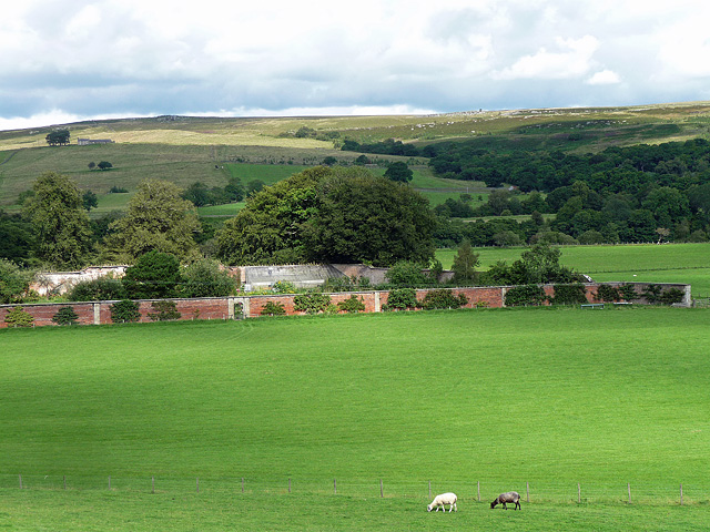
Several well-maintained trails wind their way through Mantlehill Plantation, allowing visitors to explore the woodland at their own pace. The paths are suitable for both leisurely strolls and more challenging hikes. Along the way, visitors may encounter babbling brooks, hidden ponds, and stunning viewpoints that overlook the surrounding countryside.

The plantation is also home to a wide array of wildlife. Birdwatchers will delight in spotting various species, including woodpeckers, owls, and jays, while nature enthusiasts may come across roe deer, foxes, and badgers during their explorations. It is not uncommon to see squirrels darting among the treetops or rabbits scurrying across the forest floor.

Mantlehill Plantation offers a serene and tranquil escape from the hustle and bustle of everyday life. Its natural beauty and diverse ecosystem make it a popular destination for nature lovers seeking solace in the heart of Northumberland's countryside. Whether it is for a leisurely walk, a family picnic, or simply an opportunity to immerse oneself in the wonders of the natural world, this woodland paradise has something to offer everyone.

If you have any feedback on the listing, please let us know in the comments section below.

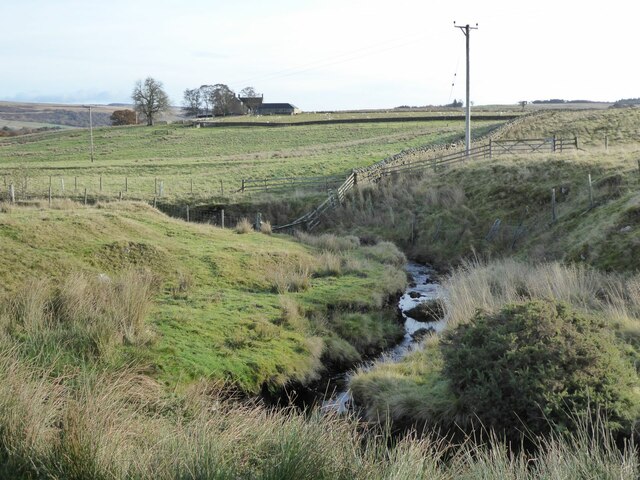
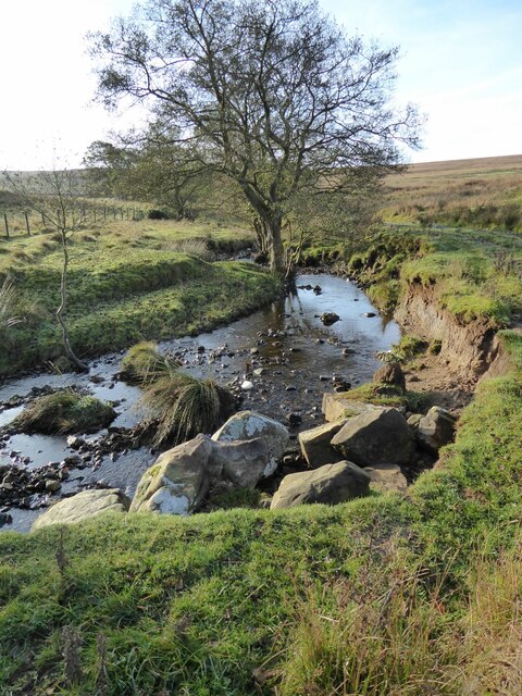
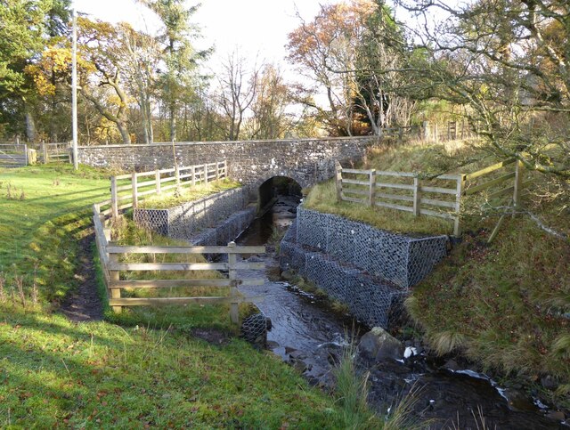
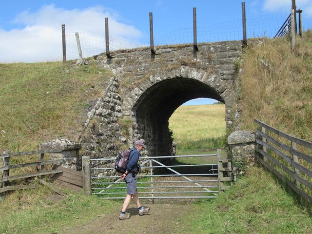
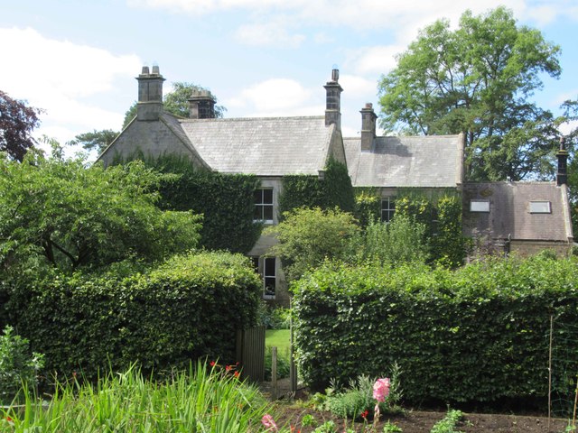
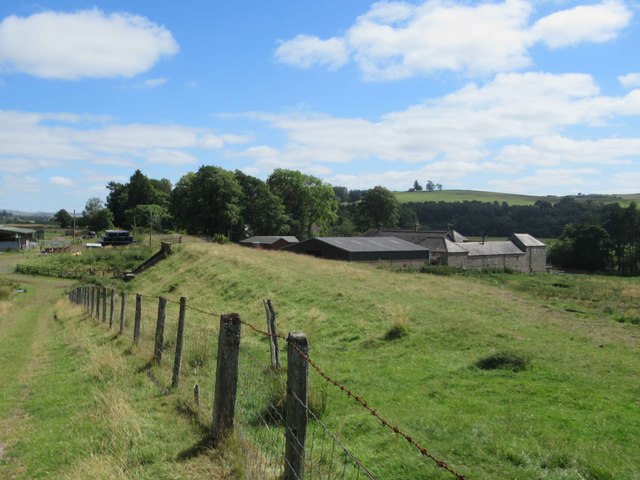
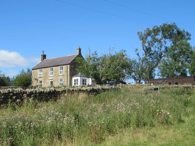
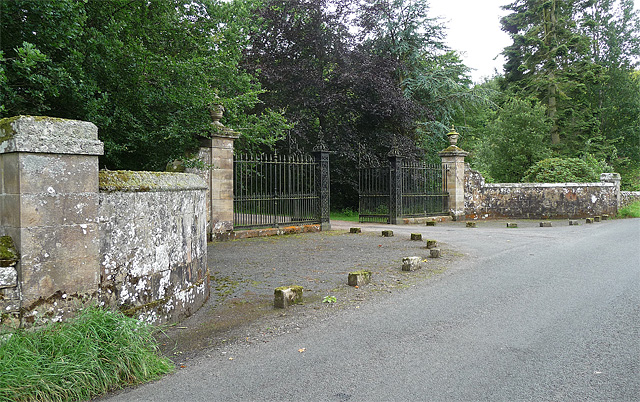
Mantlehill Plantation Images

Images are sourced within 2km of 55.150099/-2.3027417 or Grid Reference NY8084. Thanks to Geograph Open Source API. All images are credited.

High Carriteth Burn With High Carriteth farm in the background.
High Carriteth Burn
With High Carriteth farm in the background.
Erosion beside the High Carriteth Burn The large boulders may have been placed to prevent more erosion.
Erosion beside the High Carriteth Burn
The large boulders may have been placed to prevent more erosion.
Carriteth Bridge Over the High Carriteth Burn. 
The burn flows from Berry Hill past an area of disused workings.
Carriteth Bridge
Over the High Carriteth Burn. The burn flows from Berry Hill past an area of disused workings.
Underpass for Disused Railway Line
Newton Farmhouse Newton Farmhouse was built in the mid and late 19th century. The earlier part is the left side and the later is the right.
<span class="nowrap"><a title="https://keystothepast.info/search-records/results-of-search/results-of-search-2/site-details/?PRN=N15045" rel="nofollow ugc noopener" href="https://keystothepast.info/search-records/results-of-search/results-of-search-2/site-details/?PRN=N15045">Link</a><img style="margin-left:2px;" alt="External link" title="External link - shift click to open in new window" src="https://s1.geograph.org.uk/img/external.png" width="10" height="10"/></span>
Newton Farmhouse
Newton Farmhouse was built in the mid and late 19th century. The earlier part is the left side and the later is the right. LinkExternal link
Newton Farm
Newton Farm
Unnamed Farmhouse
Unnamed Farmhouse
Score Rigg Reservoir
Park Lodge In need of restoration
Park Lodge
In need of restoration
Gates near Bellingham The entrance to Hesleyside, dating from the early C19th. The elaborate wrought-iron gates are flanked by piers, topped by urn finials, which are, in turn, flanked by serpentine walls culminating in square piers. Grade II listed.
A sign nailed to a nearby tree tells us that, "the house has been the home of the Charlton family since 1343", and that, "the family are happy to welcome parties of visitors to the house by prior arrangement".
Gates near Bellingham
The entrance to Hesleyside, dating from the early C19th. The elaborate wrought-iron gates are flanked by piers, topped by urn finials, which are, in turn, flanked by serpentine walls culminating in square piers. Grade II listed. A sign nailed to a nearby tree tells us that, "the house has been the home of the Charlton family since 1343", and that, "the family are happy to welcome parties of visitors to the house by prior arrangement".
Hesleyside Plantations near Bellingham Mostly beeches on show here.
Presumably forestry operations are connected to the Hesleyside estate.
Hesleyside Plantations near Bellingham
Mostly beeches on show here. Presumably forestry operations are connected to the Hesleyside estate.
Parkland near Bellingham Not looking particularly parklandish, apart from the variety of trees on show. Hard to see from this shot, but they form part of an avenue of trees which runs north from the house (Hesleyside) to the River North Tyne, only about 500 yards away. This was probably laid out in the early C18th.
Parkland near Bellingham
Not looking particularly parklandish, apart from the variety of trees on show. Hard to see from this shot, but they form part of an avenue of trees which runs north from the house (Hesleyside) to the River North Tyne, only about 500 yards away. This was probably laid out in the early C18th.
Walled garden near Bellingham C18th and presumably built as part of the Hesleyside estate.
The River North Tyne is just the other side of the distant fence, and Hareshaw Common beyond that.
Walled garden near Bellingham
C18th and presumably built as part of the Hesleyside estate. The River North Tyne is just the other side of the distant fence, and Hareshaw Common beyond that.
Road near Low Carriteth Farm This minor road on the south side of the North Tyne crosses Low Carriteth Burn in the dip.
Road near Low Carriteth Farm
This minor road on the south side of the North Tyne crosses Low Carriteth Burn in the dip.
A well-stocked field near Hesleyside Mill This field is well stocked with both cattle and sheep. Mantlehill Plantation beyond.
A well-stocked field near Hesleyside Mill
This field is well stocked with both cattle and sheep. Mantlehill Plantation beyond.
The Boe Rigg A major development on the Bellingham to Kielder road opened in July 2011. It consists of a cafe, bistro, bunkhouse, camping and caravan site.
The Boe Rigg
A major development on the Bellingham to Kielder road opened in July 2011. It consists of a cafe, bistro, bunkhouse, camping and caravan site.
Parkland at Hesleyside Hall
Show me another place!

Mantlehill Plantation is located at Grid Ref: NY8084 (Lat: 55.150099, Lng: -2.3027417)

Unitary Authority: Northumberland

Police Authority: Northumbria

What 3 Words

///aims.dweller.reinstate. Near Bellingham, Northumberland

Related Wikis

Hesleyside Hall

Hesleyside Hall is a privately owned 18th-century country house and the ancestral home of the Border reiver Charlton family about 2 miles (3 km) west of...

Charlton (Northumberland) railway station

Charlton railway station served the village of Charlton, Northumberland, England from 1861 to 1862 on the Border Counties Railway. == History == The station...

Charlton, Northumberland

Charlton is a village in Northumberland, England. It is about 1.5 miles (2.4 km) to the northwest of Bellingham, on the River North Tyne. == Governance... ==

Tarset

Tarset is a civil parish in Northumberland, England, created in 1955 from parts of Bellingham, Tarset West and Thorneyburn parishes. It is 4 miles (6 km...

Nearby Amenities

Located within 500m of 55.150099,-2.3027417
Old Man's Sheel
Place: locality
Lat/Long: 55.1491375/-2.3074575
The data included in this document is from www.openstreetmap.org. The data is made available under ODbL.

Have you been to Mantlehill Plantation?

Leave your review of Mantlehill Plantation below (or comments, questions and feedback).