Longridge
Settlement in Gloucestershire Tewkesbury
England
Longridge
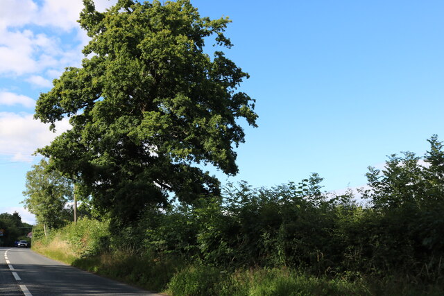
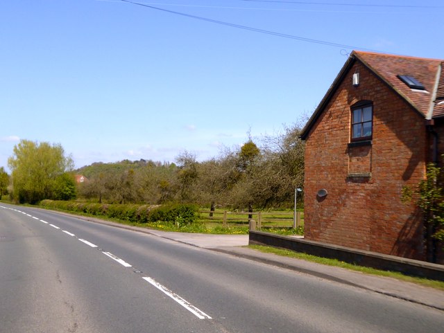
Longridge is a small village located in the county of Gloucestershire, England. Situated on the western edge of the Cotswolds, it is surrounded by picturesque rolling hills and lush green countryside. The village is positioned approximately 10 miles northwest of the city of Gloucester and 15 miles south of the town of Cheltenham.
Longridge is known for its tranquil and idyllic setting, offering residents and visitors a peaceful retreat from the hustle and bustle of city life. The village is characterized by its charming stone cottages and traditional architecture, which adds to its picturesque appeal.
Despite its small size, Longridge boasts a close-knit community that takes pride in maintaining the village's heritage and preserving its natural beauty. The local parish church, St. Mary's, is a notable landmark and serves as a gathering place for religious services and community events.
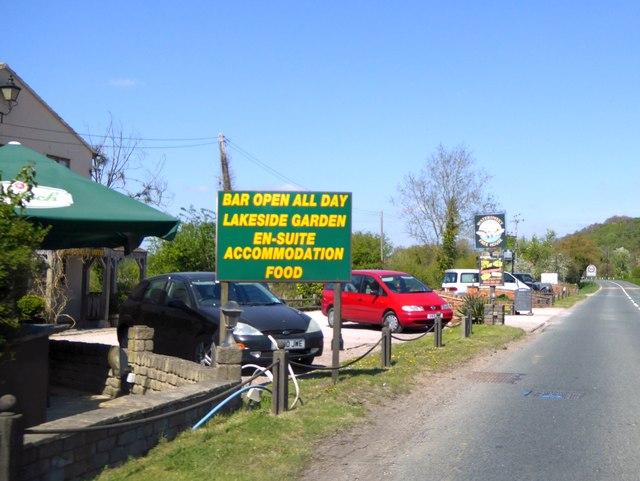
Although primarily a residential area, Longridge benefits from its proximity to larger towns and cities, providing residents with easy access to amenities and services. The village is also a popular destination for outdoor enthusiasts, with numerous walking and cycling trails in the surrounding countryside.
In summary, Longridge is a charming village nestled in the heart of Gloucestershire, offering a peaceful and picturesque setting for its residents and visitors. With its rich history, natural beauty, and strong sense of community, it remains an attractive place to live and explore.
If you have any feedback on the listing, please let us know in the comments section below.
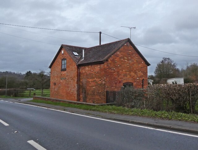
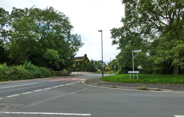
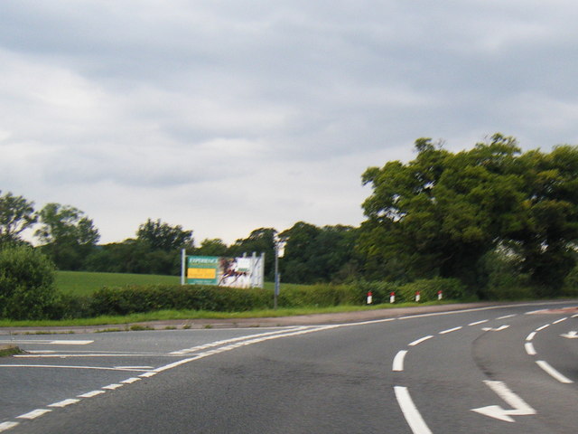
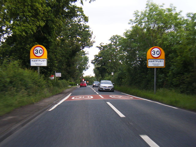
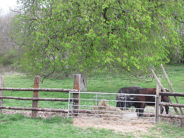
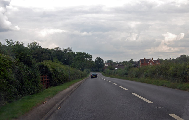
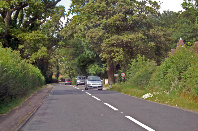
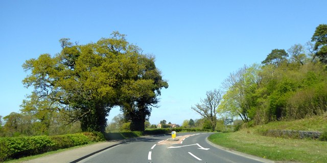
Longridge Images
Images are sourced within 2km of 51.918192/-2.2781837 or Grid Reference SO8024. Thanks to Geograph Open Source API. All images are credited.


Longridge is located at Grid Ref: SO8024 (Lat: 51.918192, Lng: -2.2781837)
Administrative County: Gloucestershire
District: Tewkesbury
Police Authority: Gloucestershire
What 3 Words
///towels.guises.similar. Near Corse, Gloucestershire
Nearby Locations
Related Wikis

Ashleworth
Ashleworth (sometimes formerly spelled ‘Ashelworth’) is a village and civil parish in the Tewkesbury district of Gloucestershire, England, with a population...
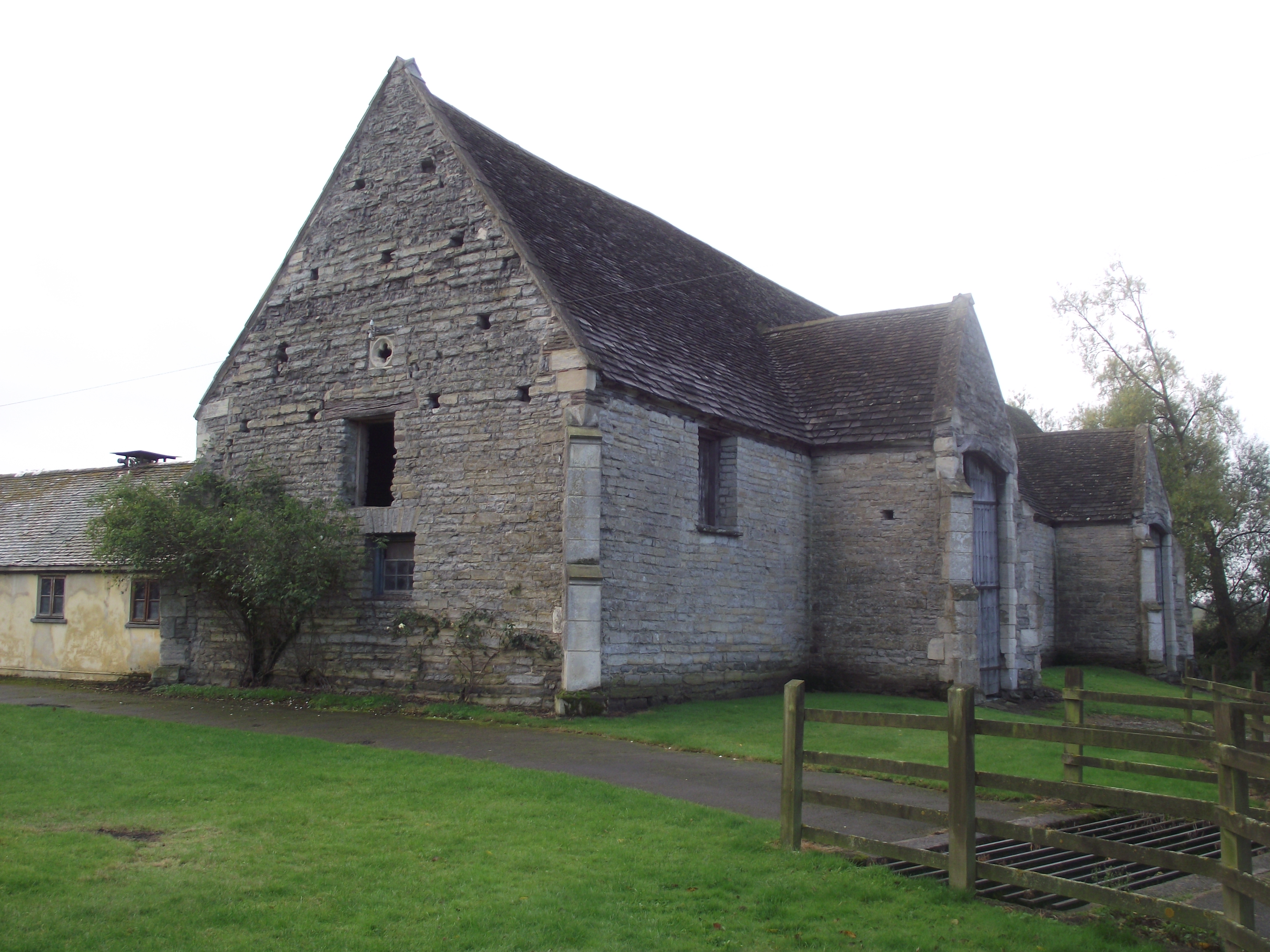
Ashleworth Tithe Barn
Ashleworth Tithe Barn is a large 15th-century tithe barn located at Ashleworth, Gloucestershire, England, standing close to the River Severn. It is a Grade...

Ashleworth Court
Ashleworth Court is a grade I listed house close to the River Severn in Ashleworth, Gloucestershire, England.The site has revealed pottery from Roman Britain...

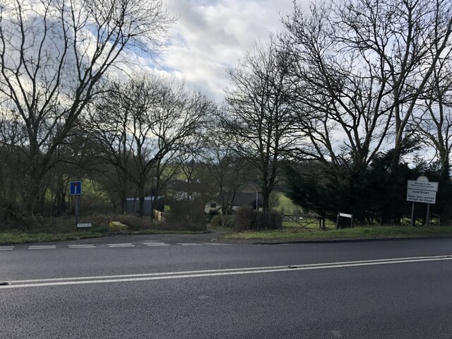
Hartpury
Hartpury is a civil parish in Gloucestershire, England. It has an area of about 3,500 acres (1,400 ha), about 270 homes and a population of about 700 people...
Related Videos

The Golden Years - you can’t beat a good prize giving 👏#dressage
Stills from this piece of video became my channel ID on YouTube and Facebook so I'm obviously fond of it First place went to ...

Harry Meade, such a gentleman; the 2016 ice cream incident, only in England? #eventing #equestrian
Watch what happened when fence judges on the CIC 3 Star track (new 4 star) had to stop rider Harry Meade and his horse Away ...

Walk around Sandhurst hill
Me and HARVEY walking around Sandhurst hill.

Piggy March and Hartacker leave the start box; Cirencester Park Open Intermediate Section E #short
My last piece of video shot at Cirencester Park today featured Piggy March and Hartacker.
Nearby Amenities
Located within 500m of 51.918192,-2.2781837Have you been to Longridge?
Leave your review of Longridge below (or comments, questions and feedback).