Edale Moor
Downs, Moorland in Derbyshire High Peak
England
Edale Moor
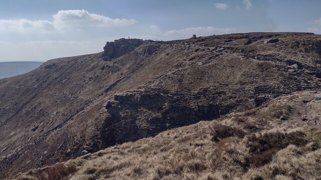
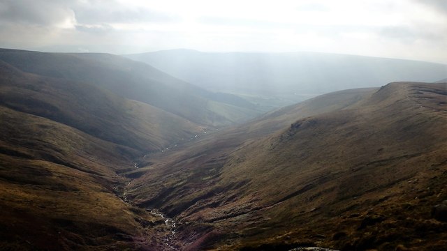
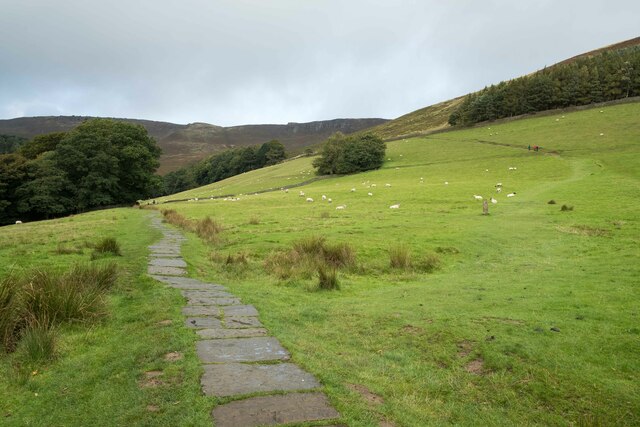
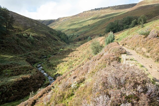
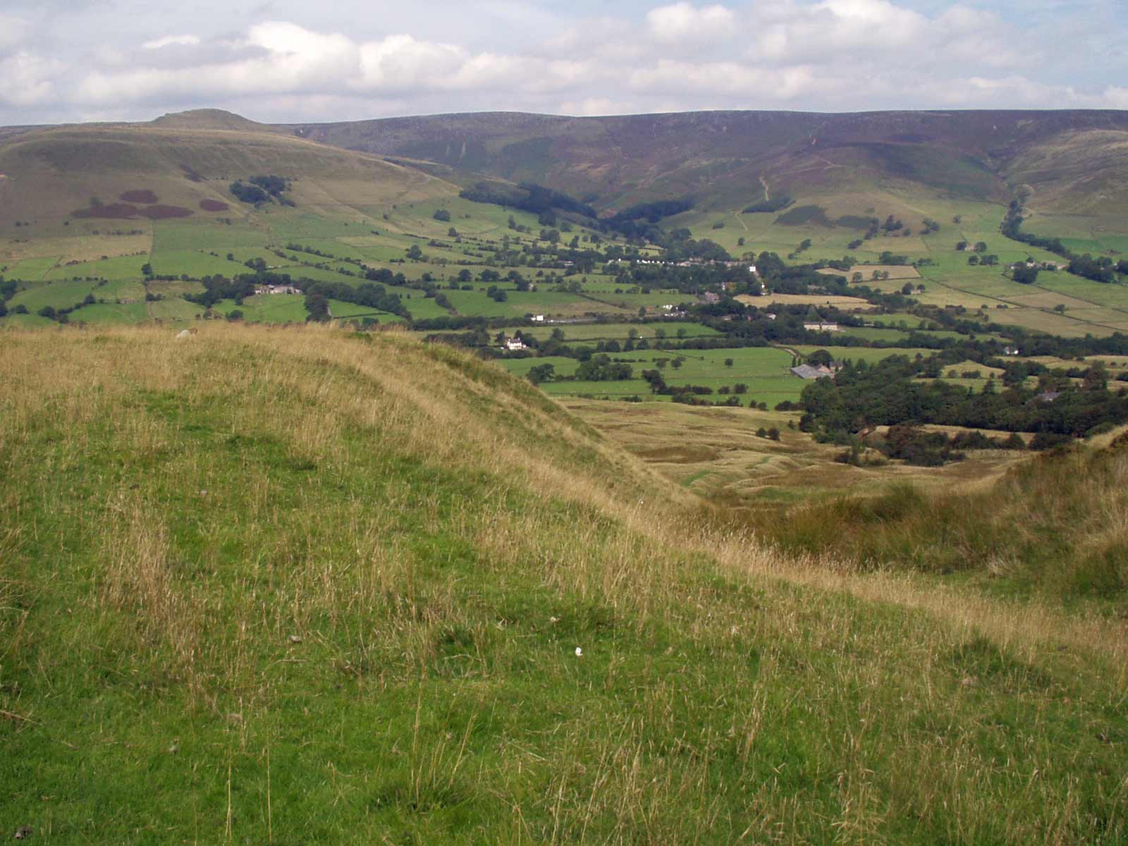
Edale Moor is a picturesque area located in the county of Derbyshire, England. It is situated in the heart of the Peak District National Park, renowned for its stunning natural beauty and diverse landscapes. The moorland covers an extensive area of approximately 6 square kilometers, characterized by rolling hills, vast expanses of open grassland, and heather-covered slopes.
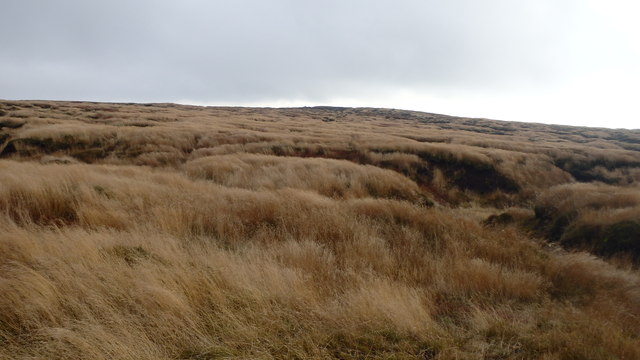
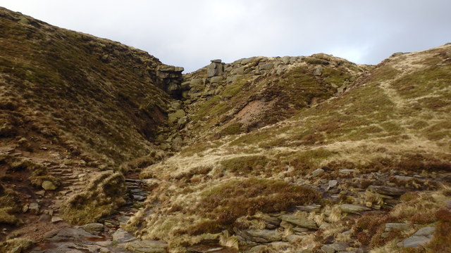
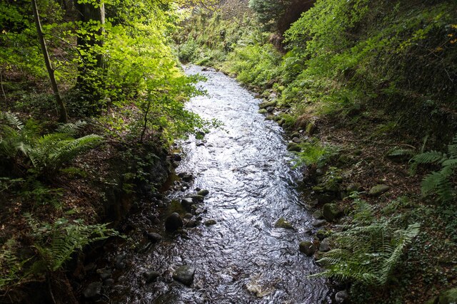
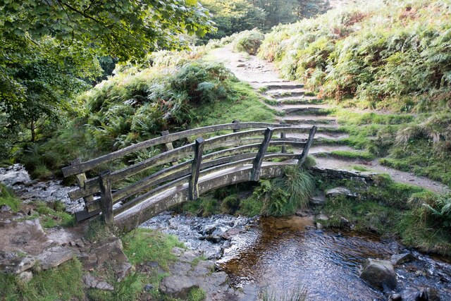
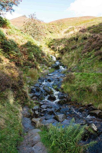
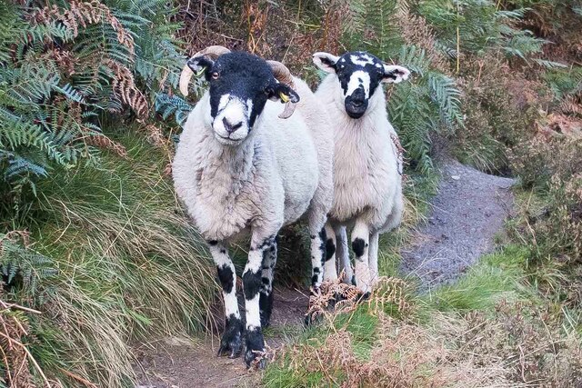
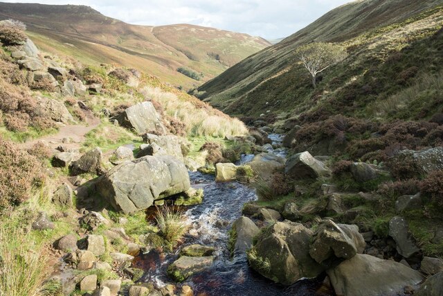
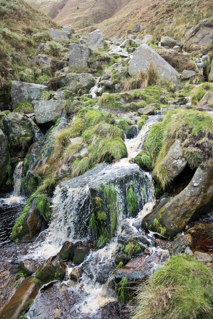
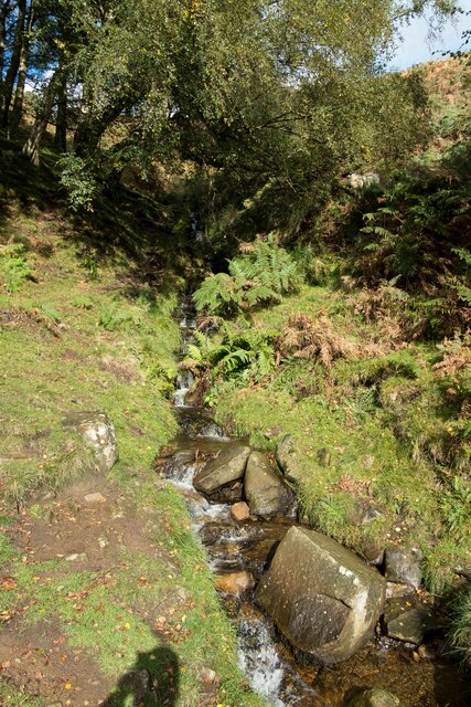
The terrain of Edale Moor consists of a mixture of gritstone and peat, creating a unique ecosystem that supports a variety of flora and fauna. It is home to an array of plant species, including heather, bilberry, and cotton grass, which blanket the moorland in vibrant hues during the summer months. The area is also dotted with numerous streams and small ponds, providing habitats for various aquatic creatures.
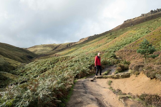
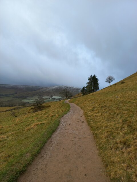
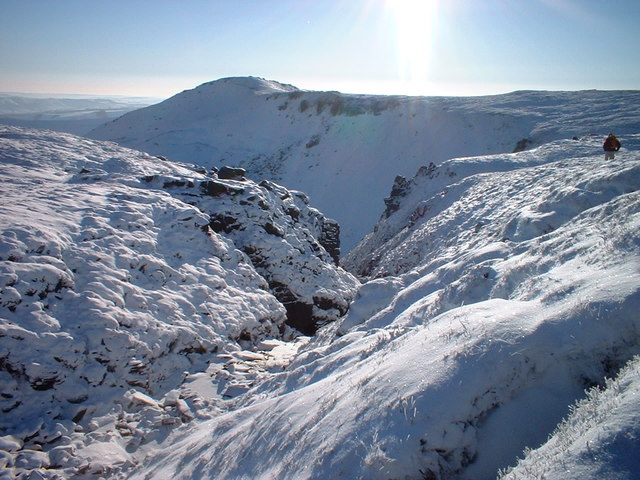
Edale Moor is a popular destination for outdoor enthusiasts and nature lovers. It offers a range of activities, including hiking, birdwatching, and wildlife spotting. The moorland is crisscrossed by a network of footpaths, making it an ideal location for long walks and exploring the surrounding countryside. One of the notable features of Edale Moor is Kinder Scout, the highest point in the Peak District, offering breathtaking panoramic views of the entire area.
Aside from its natural beauty, Edale Moor holds historical significance as well. It is believed to have been inhabited since prehistoric times, with evidence of Neolithic and Bronze Age settlements discovered in the vicinity. Additionally, the area played a crucial role in the formation of the British conservation movement, as it was the site of the famous Mass Trespass of 1932, which aimed to challenge the restrictions on access to open spaces.
Overall, Edale Moor is a captivating landscape that combines rugged beauty with rich history, making it a must-visit destination for those seeking to immerse themselves in the enchanting charm of the Peak District.
If you have any feedback on the listing, please let us know in the comments section below.
Edale Moor Images
Images are sourced within 2km of 53.383541/-1.8356247 or Grid Reference SK1187. Thanks to Geograph Open Source API. All images are credited.
Edale Moor is located at Grid Ref: SK1187 (Lat: 53.383541, Lng: -1.8356247)
Administrative County: Derbyshire
District: High Peak
Police Authority: Derbyshire
What 3 Words
///saddens.outreach.feel. Near High Peak, Derbyshire
Nearby Locations
Related Wikis
Grindslow Knoll
Grindslow Knoll is a hill in the Dark Peak area of the Peak District National Park in Derbyshire, England. It is joined to Kinder Scout by a high col though...
Kinder Scout
Kinder Scout is a moorland plateau and national nature reserve in the Dark Peak of the Derbyshire Peak District in England. Part of the moor, at 636 metres...

The Church of the Holy and Undivided Trinity, Edale
The Church of the Holy and Undivided Trinity, Edale, is a Grade II listed parish church in the Church of England in Edale, Derbyshire. == History == The...

Vale of Edale
The Vale of Edale is the upper valley of the River Noe, in the Derbyshire Peak District of England. The village of Edale lies in the middle of the valley...

Edale
Edale is a village and civil parish in the Peak District, Derbyshire, England, whose population was 353 at the 2011 Census. Edale, with an area of 7,030...
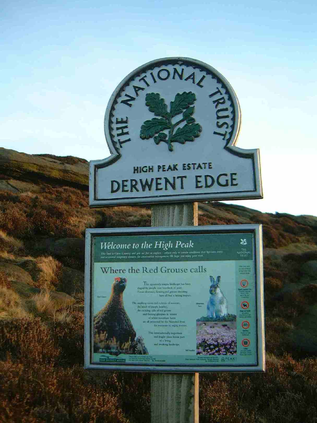
High Peak Estate
The High Peak Estate is an area of Pennine moorland in the ownership of the National Trust in the Dark Peak area of Derbyshire, England. The National...
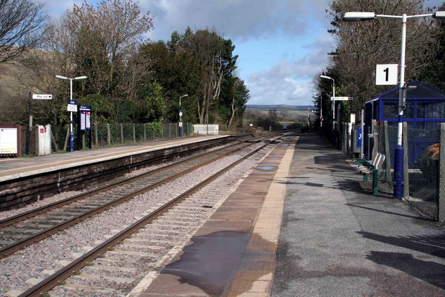
Edale railway station
Edale railway station serves the rural village of Edale in the Derbyshire Peak District, in England. It is located 20 miles (32 km) west of Sheffield and...
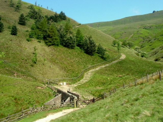
Jacob's Ladder, Derbyshire
Jacob's Ladder is a bridleway between Kinder Scout plateau and the hamlet of Upper Booth in the Vale of Edale, in the Derbyshire Peak District of England...
Nearby Amenities
Located within 500m of 53.383541,-1.8356247Have you been to Edale Moor?
Leave your review of Edale Moor below (or comments, questions and feedback).