High Shipley Wood
Downs, Moorland in Durham
England
High Shipley Wood

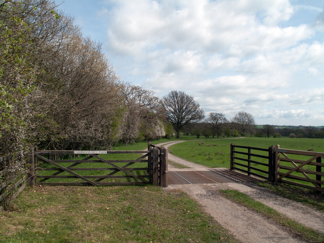
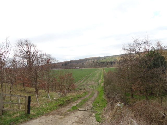
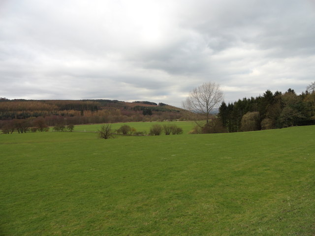
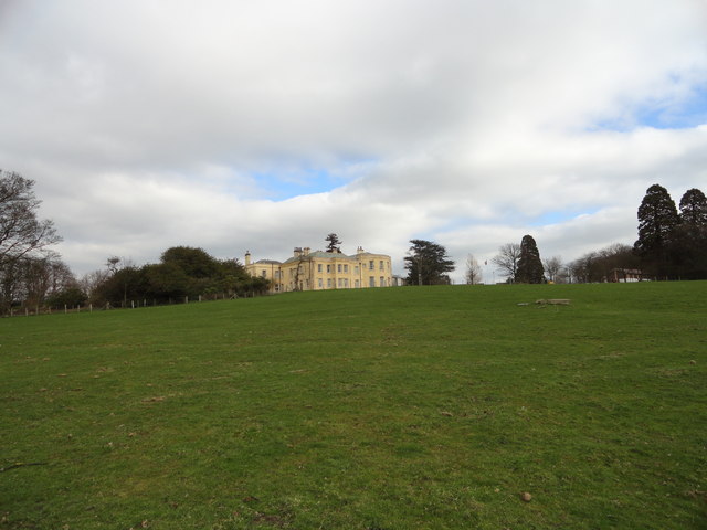
High Shipley Wood is a picturesque wooded area located in County Durham, England. Situated near the village of High Shipley, the wood is known for its stunning natural beauty and tranquil surroundings. Spanning across a vast expanse of land, High Shipley Wood offers visitors a chance to immerse themselves in the serenity of nature.
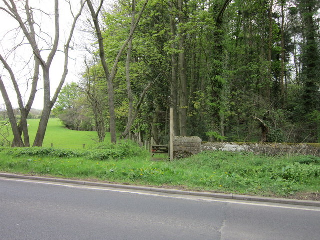
The wood is characterized by its dense foliage, consisting primarily of oak and beech trees. These towering trees provide shade and shelter for a variety of wildlife, making the wood a haven for birdwatchers and nature enthusiasts. The forest floor is covered in a thick carpet of moss, creating a lush and vibrant undergrowth.
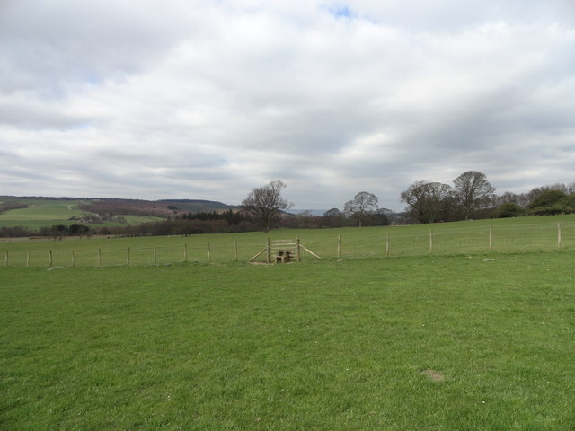
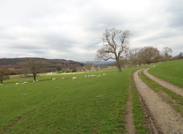
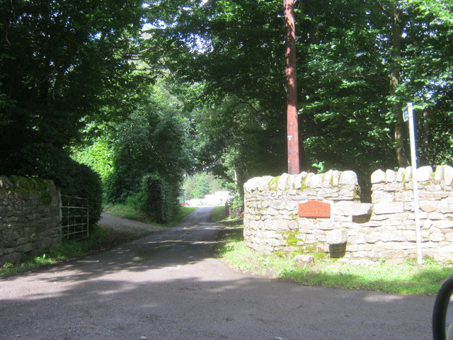
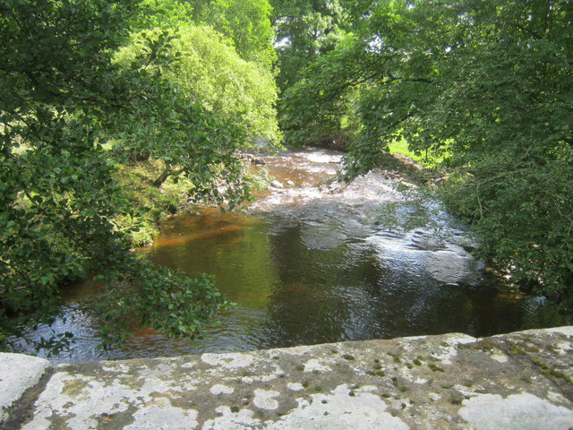
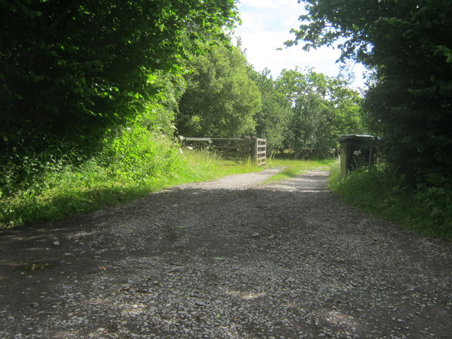
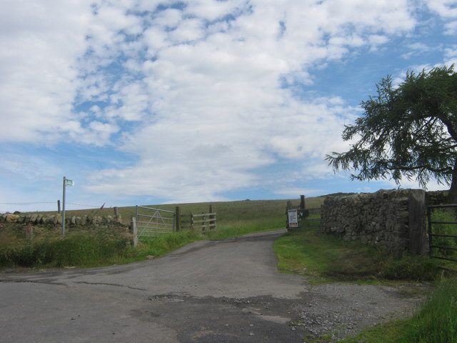
Traversing through High Shipley Wood, visitors will encounter a network of well-maintained trails and footpaths. These paths offer stunning views of the surrounding countryside and provide an opportunity for leisurely walks and hikes. The wood is also intersected by a small stream, adding to its enchanting atmosphere.
High Shipley Wood is home to a diverse range of flora and fauna. In addition to the numerous bird species, visitors may spot squirrels, rabbits, and deer roaming freely within the wood. The wood also supports a variety of plant life, including wildflowers and ferns.
Overall, High Shipley Wood offers a peaceful retreat from the hustle and bustle of everyday life. Its natural beauty and abundance of wildlife make it a popular destination for nature lovers and outdoor enthusiasts alike. Whether for a leisurely stroll, birdwatching, or simply enjoying the tranquility of the surroundings, High Shipley Wood is a must-visit location in County Durham.
If you have any feedback on the listing, please let us know in the comments section below.
High Shipley Wood Images
Images are sourced within 2km of 54.698986/-1.830344 or Grid Reference NZ1133. Thanks to Geograph Open Source API. All images are credited.


High Shipley Wood is located at Grid Ref: NZ1133 (Lat: 54.698986, Lng: -1.830344)
Unitary Authority: County Durham
Police Authority: Durham
What 3 Words
///affair.zinc.forced. Near Hamsterley, Co. Durham
Nearby Locations
Related Wikis
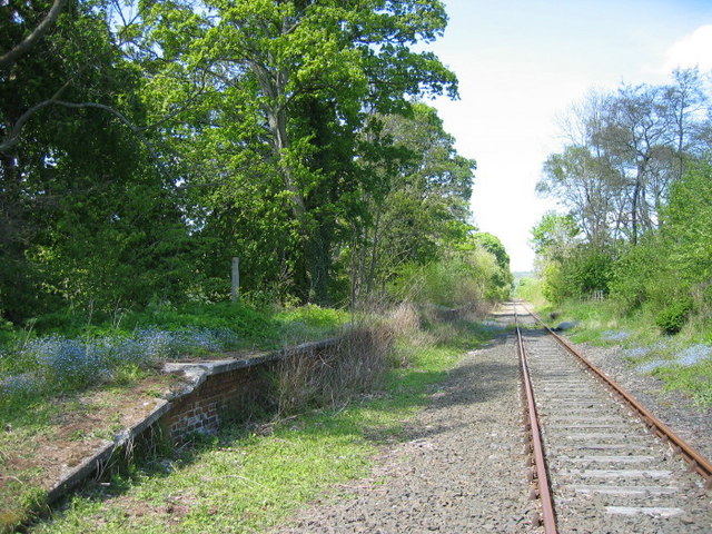
Harperley railway station
Harperley railway station served the Harperley Hall Estate and the nearby hamlet of Low Harperley, close to the village of Fir Tree in County Durham, North...

Craigside
Craigside is a small village in County Durham, England. It is situated close to the River Wear, west of Crook. == References ==
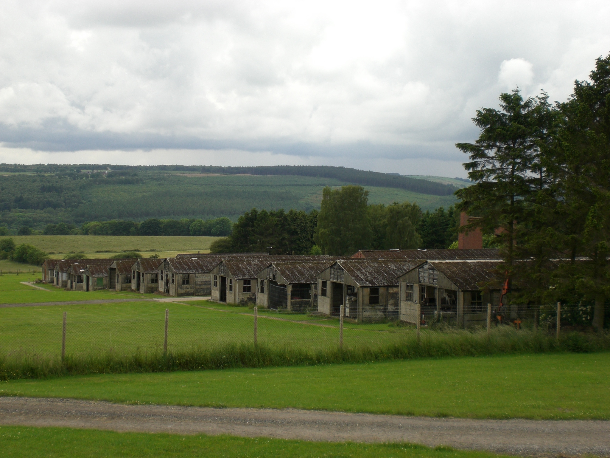
Harperley POW Camp 93
Harperley POW Camp 93 is a surviving purpose-built World War II Prisoner of War (PoW) camp built to accommodate up to 1,400 inmates at Fir Tree near Crook...

Bedburn
Bedburn is a village in County Durham, in England. It is in the civil parish of South Bedburn, near Hamsterley, and Hamsterley Forest. The Bedburn Beck...
Nearby Amenities
Located within 500m of 54.698986,-1.830344Have you been to High Shipley Wood?
Leave your review of High Shipley Wood below (or comments, questions and feedback).