Shipley Wood
Downs, Moorland in Durham
England
Shipley Wood

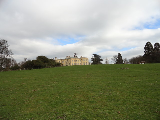
Shipley Wood is a charming and picturesque woodland located in County Durham, England. Covering an area of approximately 20 hectares, this woodland is nestled within the larger Shipley Estate, known for its natural beauty and historical significance. Shipley Wood is a part of a larger network of woodlands that encompasses the surrounding areas of Downs and Moorland.
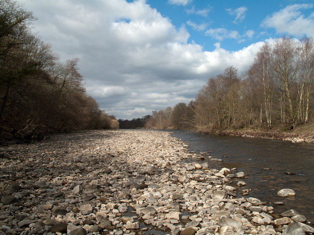
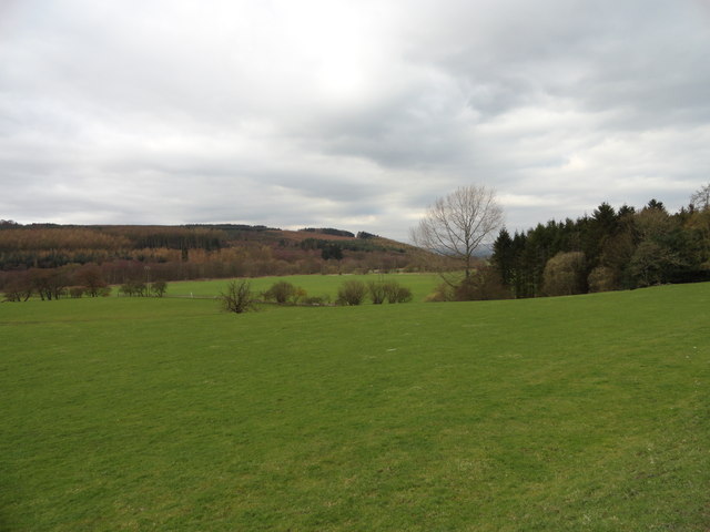
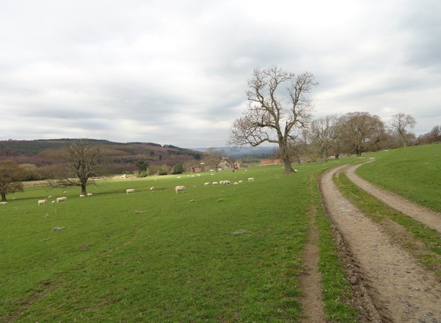
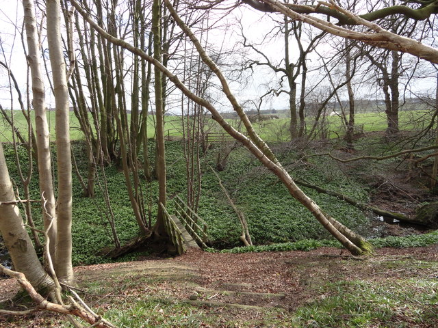
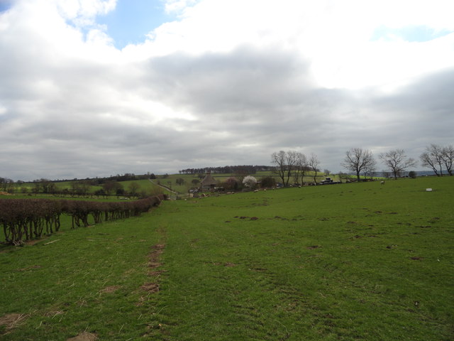
This woodland boasts a diverse range of flora and fauna, making it a haven for nature enthusiasts and wildlife lovers alike. The wood is mainly composed of deciduous trees, including oak, ash, and birch, which provide a rich habitat for various species of birds, mammals, and insects. The woodland floor is adorned with an array of wildflowers, such as bluebells and wood anemones, creating a colorful and vibrant tapestry during the spring months.
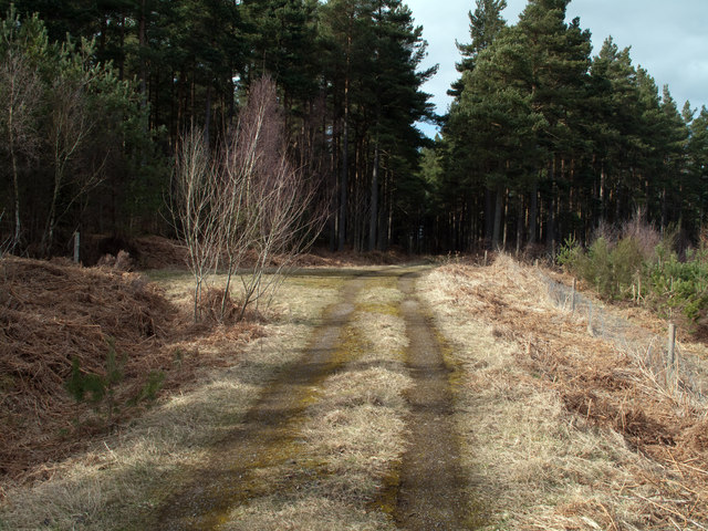
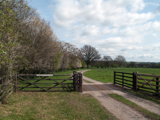
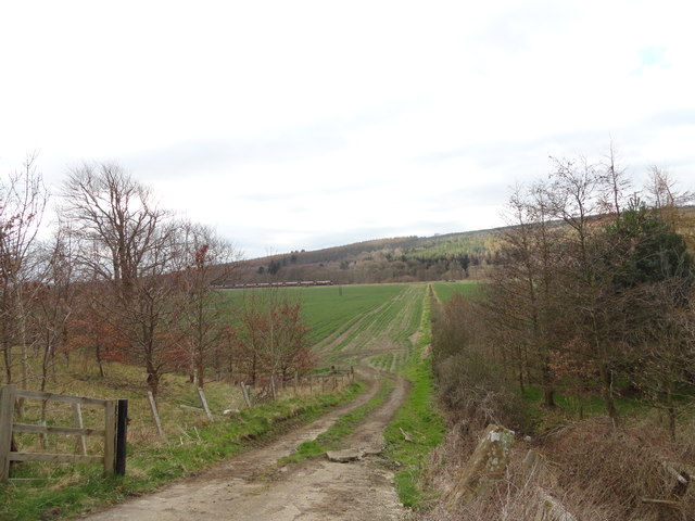
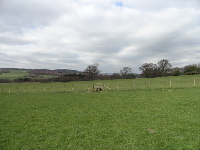
Shipley Wood offers a variety of walking trails and paths, allowing visitors to explore its hidden treasures at their own pace. The peaceful ambiance and serene atmosphere make it an ideal destination for those seeking solitude and tranquility. The woodland also provides excellent opportunities for photography, with its breathtaking views and natural landscapes.
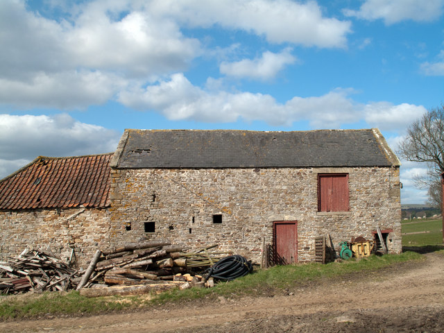
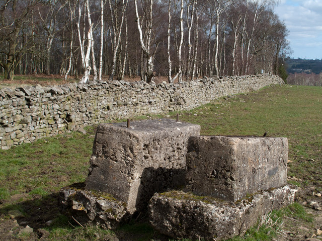
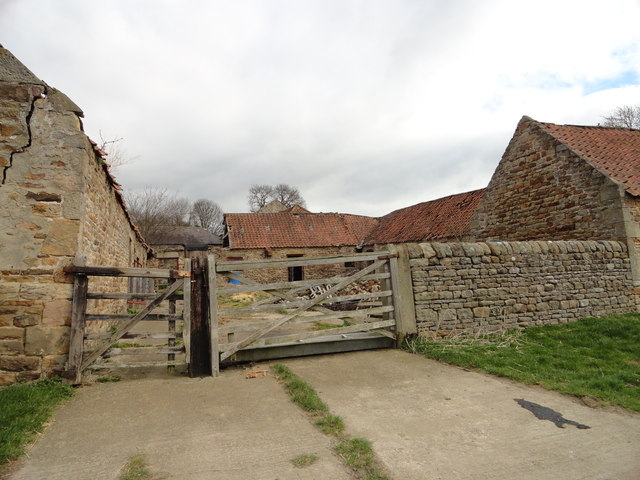
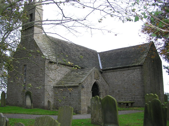
Moreover, Shipley Wood holds significant historical value, with traces of its past visible throughout the area. The remains of old stone walls and boundary markers can be found, giving insight into the wood's agricultural past. Additionally, the woodland has been carefully managed to preserve its natural beauty and ecological balance.
Overall, Shipley Wood is a natural gem in Durham, offering a peaceful retreat for nature lovers, a haven for wildlife, and a glimpse into the area's rich historical heritage.
If you have any feedback on the listing, please let us know in the comments section below.
Shipley Wood Images
Images are sourced within 2km of 54.698863/-1.8259844 or Grid Reference NZ1133. Thanks to Geograph Open Source API. All images are credited.


Shipley Wood is located at Grid Ref: NZ1133 (Lat: 54.698863, Lng: -1.8259844)
Unitary Authority: County Durham
Police Authority: Durham
What 3 Words
///shunts.movies.factoring. Near Hamsterley, Co. Durham
Nearby Locations
Related Wikis
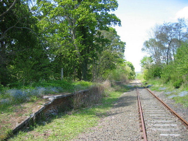
Harperley railway station
Harperley railway station served the Harperley Hall Estate and the nearby hamlet of Low Harperley, close to the village of Fir Tree in County Durham, North...

Craigside
Craigside is a small village in County Durham, England. It is situated close to the River Wear, west of Crook. == References ==
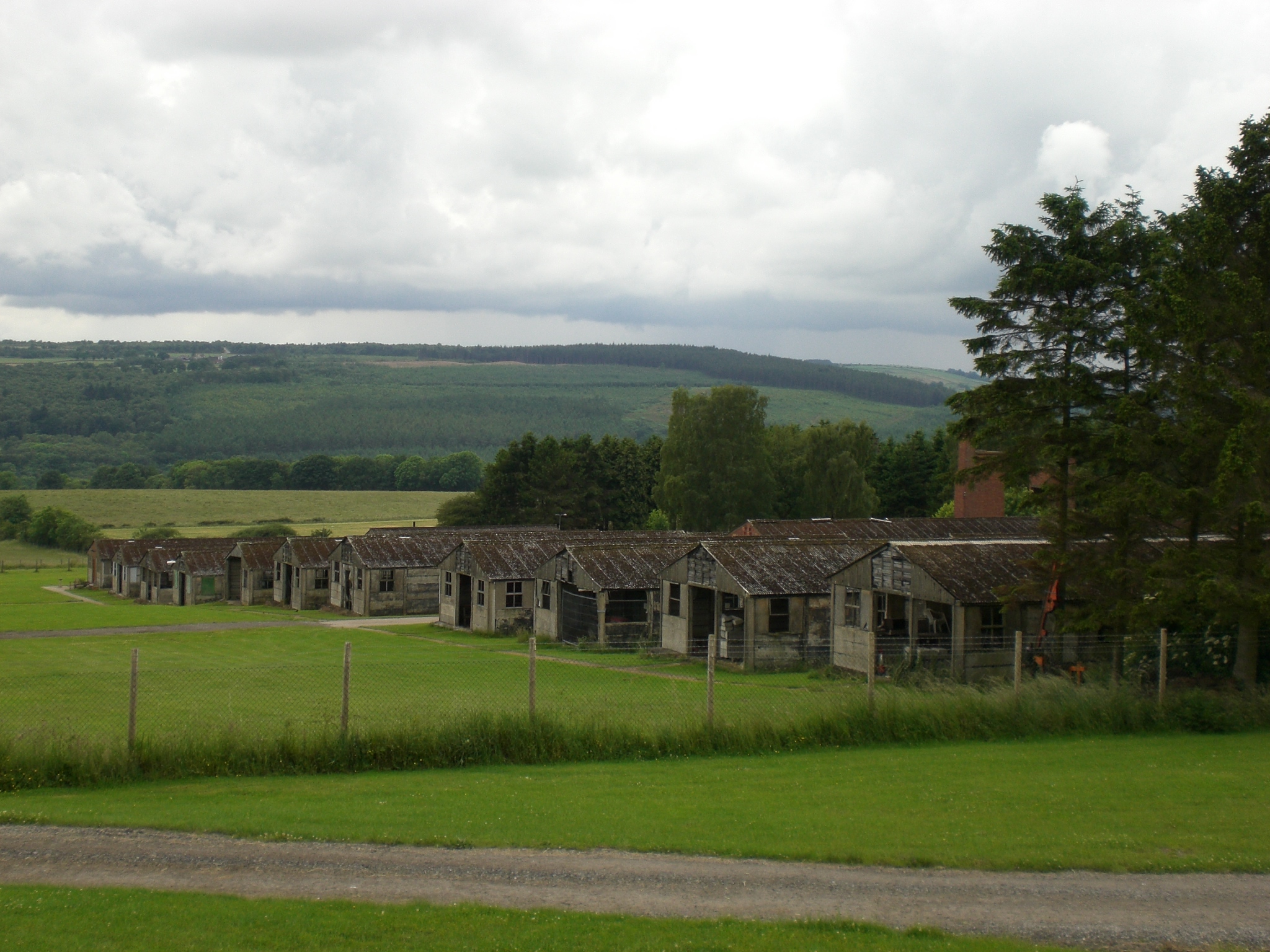
Harperley POW Camp 93
Harperley POW Camp 93 is a surviving purpose-built World War II Prisoner of War (PoW) camp built to accommodate up to 1,400 inmates at Fir Tree near Crook...

Bedburn Beck
Bedburn Beck is a 16.8 kilometres (10.4 mi) long, upper tributary of the River Wear in County Durham, England. The beck and its tributaries, including...

Bedburn
Bedburn is a village in County Durham, in England. It is in the civil parish of South Bedburn, near Hamsterley, and Hamsterley Forest. The Bedburn Beck...
South Bedburn
South Bedburn is a civil parish in County Durham, England. The population of the civil parish at the 2011 census was 171. == References == == External... ==
Fir Tree, County Durham
Fir Tree is a village in County Durham, in England. It is west of Crook, near the River Wear. Fir Tree has a petrol station and two pubs: The Duke of York...
Hamsterley, Bishop Auckland
Hamsterley is a village in County Durham, England. It is situated a few miles west of Bishop Auckland. The village lies on a rise above the upper reaches...
Nearby Amenities
Located within 500m of 54.698863,-1.8259844Have you been to Shipley Wood?
Leave your review of Shipley Wood below (or comments, questions and feedback).