Upper Tor
Hill, Mountain in Derbyshire High Peak
England
Upper Tor
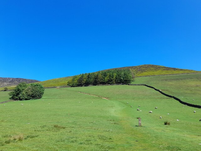
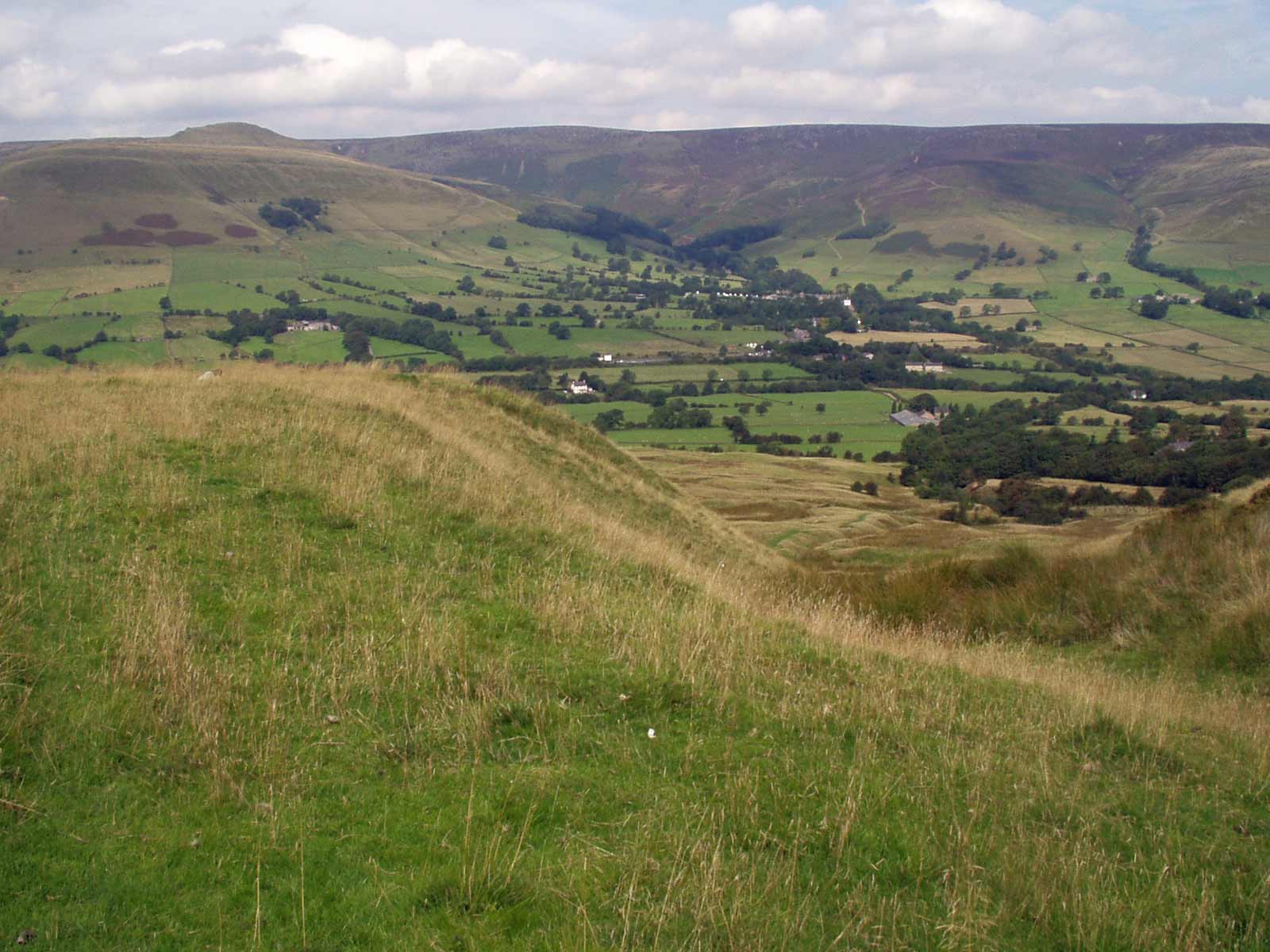
Upper Tor is a prominent hill located in the Derbyshire Peak District, England. Rising to an elevation of approximately 460 meters (1,509 feet), it is often referred to as Upper Tor Hill or Upper Tor Mountain. The hill is situated near the village of Birchover, offering stunning panoramic views of the surrounding countryside.
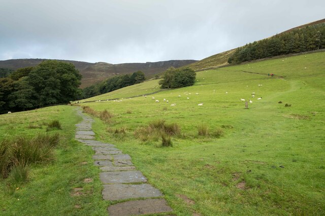
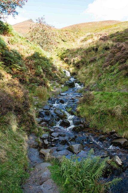
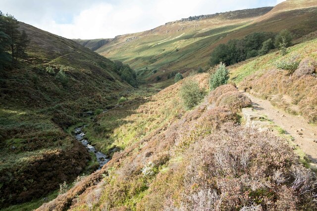
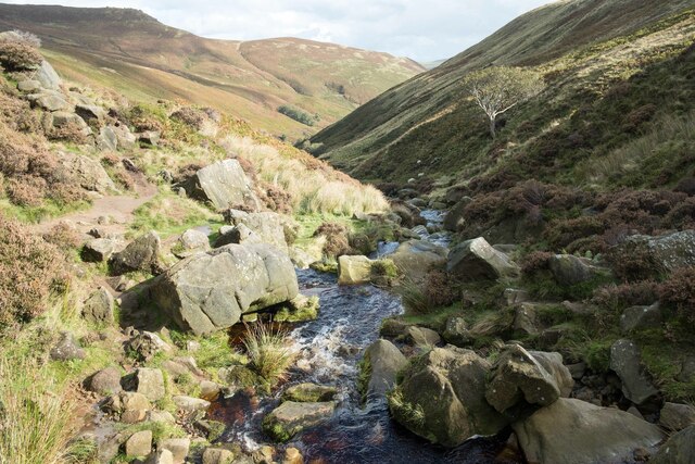
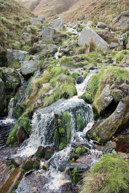
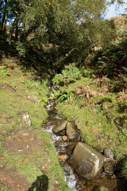
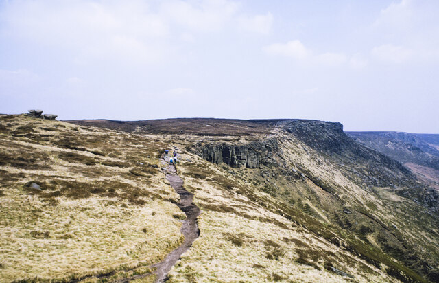
The landscape of Upper Tor is characterized by rugged, rocky terrain, with large outcrops of gritstone dominating the hilltop. These distinctive rock formations have been shaped by natural erosion processes over millions of years, resulting in the creation of deep crevices and craggy edges. These features make Upper Tor a popular destination for rock climbers and boulderers, who come to test their skills on the challenging routes.
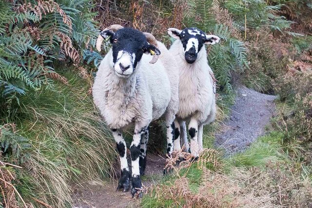
The hill is also known for its diverse flora and fauna. The lower slopes are covered in grasses, heather, and wildflowers, providing a habitat for various species of birds, insects, and small mammals. Visitors to Upper Tor may encounter common sightings like rabbits, foxes, and various species of birds, including kestrels and peregrine falcons.
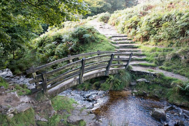
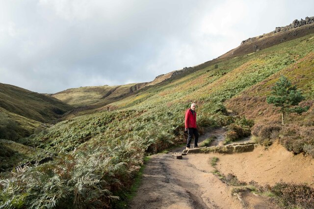
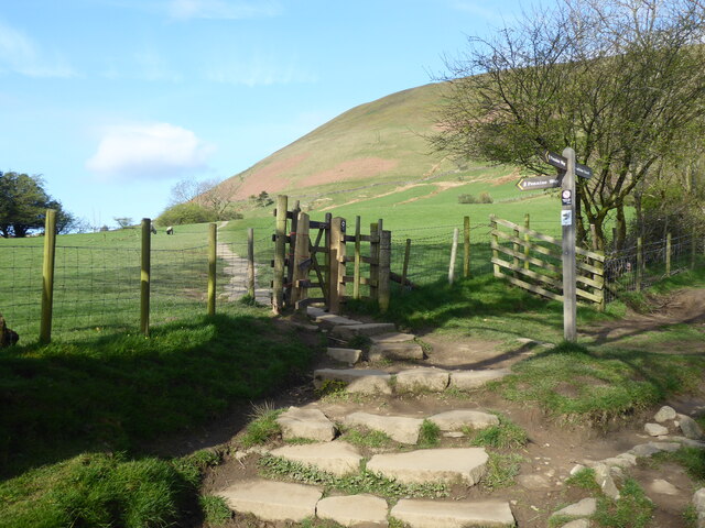
Hikers and nature enthusiasts are drawn to Upper Tor due to its accessibility and the network of footpaths that crisscross the area. These paths provide opportunities for leisurely walks and more strenuous hikes, allowing visitors to explore the natural beauty of the Peak District.
Overall, Upper Tor presents an ideal location for outdoor enthusiasts seeking stunning scenery, challenging rock formations, and a diverse range of wildlife in the heart of Derbyshire.
If you have any feedback on the listing, please let us know in the comments section below.
Upper Tor Images
Images are sourced within 2km of 53.386145/-1.8277965 or Grid Reference SK1187. Thanks to Geograph Open Source API. All images are credited.
Upper Tor is located at Grid Ref: SK1187 (Lat: 53.386145, Lng: -1.8277965)
Administrative County: Derbyshire
District: High Peak
Police Authority: Derbyshire
What 3 Words
///brick.bronzes.simulations. Near High Peak, Derbyshire
Nearby Locations
Related Wikis
Grindslow Knoll
Grindslow Knoll is a hill in the Dark Peak area of the Peak District National Park in Derbyshire, England. It is joined to Kinder Scout by a high col though...

The Church of the Holy and Undivided Trinity, Edale
The Church of the Holy and Undivided Trinity, Edale, is a Grade II listed parish church in the Church of England in Edale, Derbyshire. == History == The...

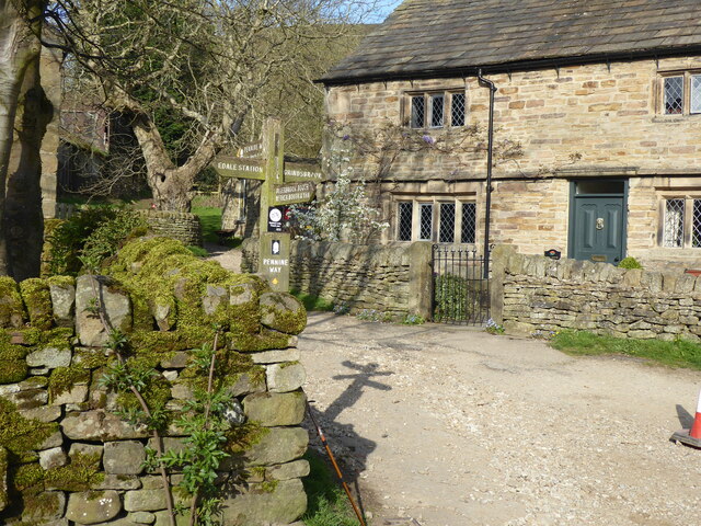
Edale
Edale is a village and civil parish in the Peak District, Derbyshire, England, whose population was 353 at the 2011 Census. Edale, with an area of 7,030...
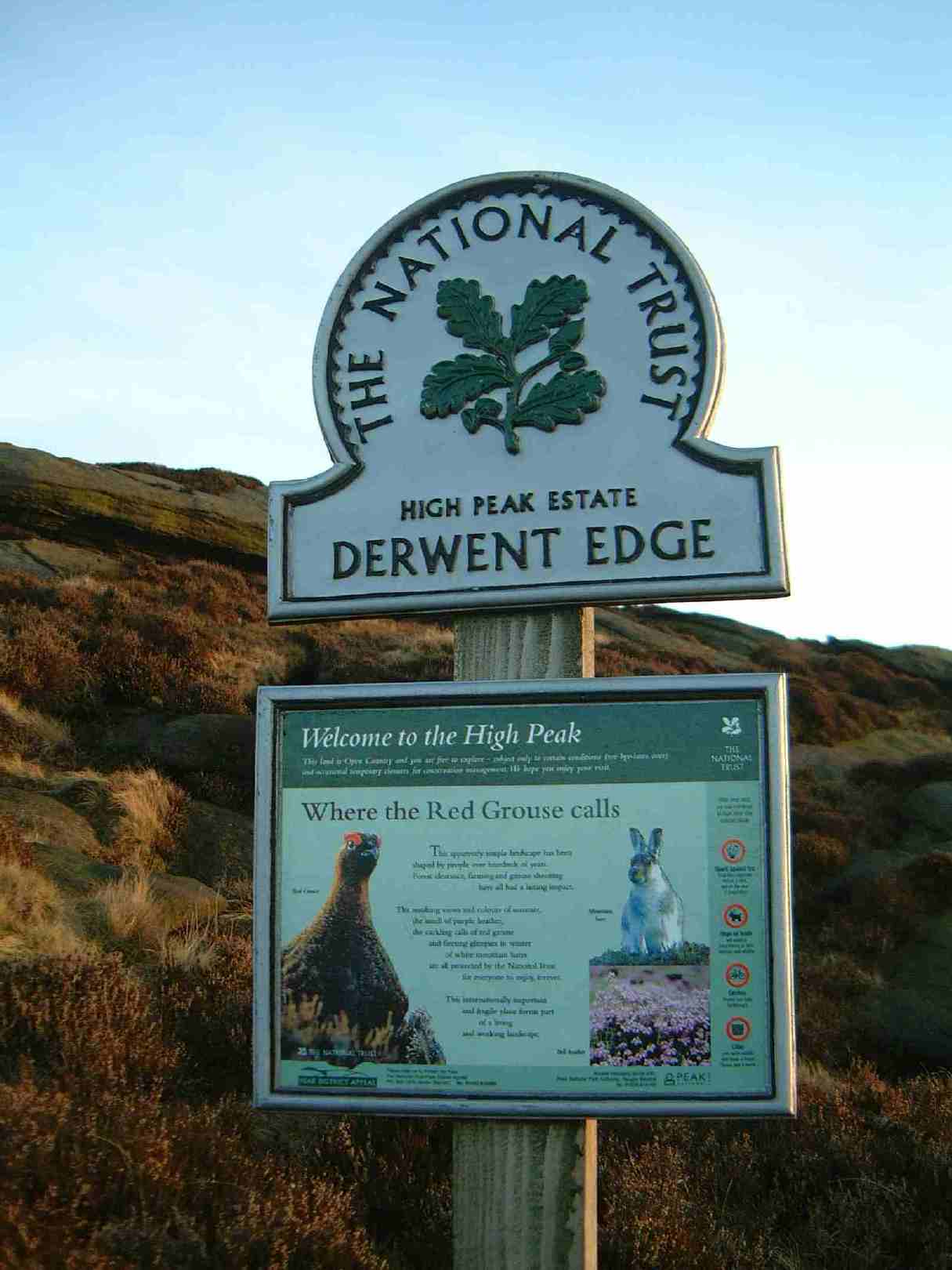
High Peak Estate
The High Peak Estate is an area of Pennine moorland in the ownership of the National Trust in the Dark Peak area of Derbyshire, England. The National...

Dark Peak
The Dark Peak is the higher and wilder part of the Peak District in England, mostly forming the northern section but also extending south into its eastern...
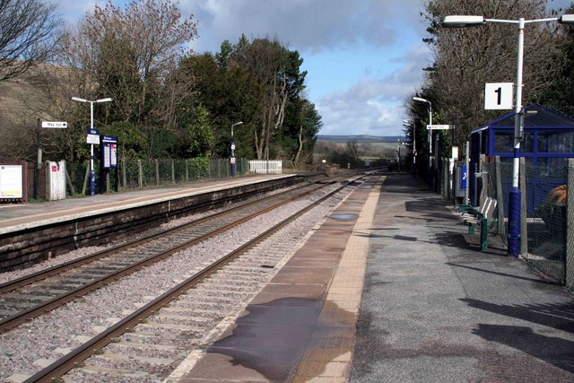
Edale railway station
Edale railway station serves the rural village of Edale in the Derbyshire Peak District, in England. It is located 20 miles (32 km) west of Sheffield and...
Kinder Scout
Kinder Scout is a moorland plateau and national nature reserve in the Dark Peak of the Derbyshire Peak District in England. Part of the moor, at 636 metres...

Vale of Edale
The Vale of Edale is the upper valley of the River Noe, in the Derbyshire Peak District of England. The village of Edale lies in the middle of the valley...
Related Videos

Discover England's Great Walking Trails - Pennine Way
The Pennine Way is England's original long distance walking trail and the second longest after the Southwest Coast Path.

Whelmed, pt. 18: Hiking Kinder Scout
In this video, I hike up onto the Kinder Scout plateau and summit Kinder Scout (I think?).
PEAK DISTRICT NATIONAL PARK 🇬🇧 EDELE | 🇬🇧 Hiking UK | England Adventure
Embark on a breathtaking adventure along the Edale Circular via Kinder Scout and Mam Tor walk, a magnificent trail that takes ...

Nearby Amenities
Located within 500m of 53.386145,-1.8277965Have you been to Upper Tor?
Leave your review of Upper Tor below (or comments, questions and feedback).