Grindsbrook Clough
Valley in Derbyshire High Peak
England
Grindsbrook Clough
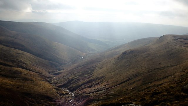
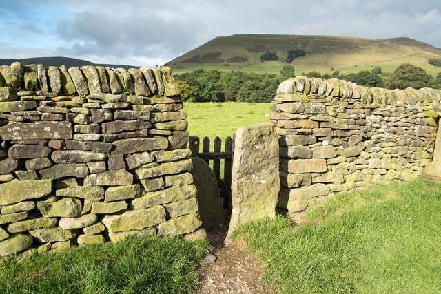
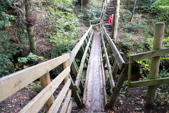
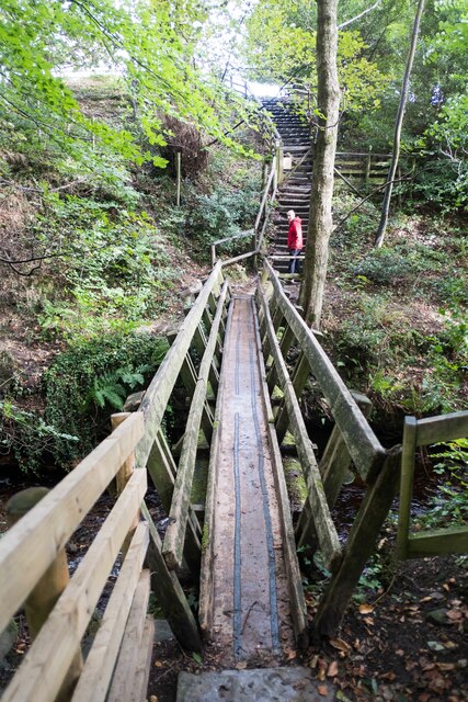
Grindsbrook Clough is a picturesque valley located in the Peak District National Park, in the county of Derbyshire, England. It is a popular destination for outdoor enthusiasts and nature lovers due to its stunning natural beauty and diverse wildlife.
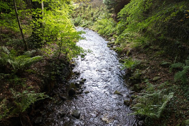
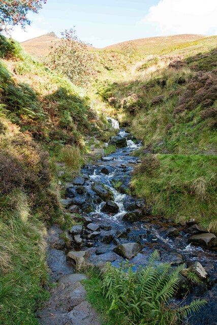
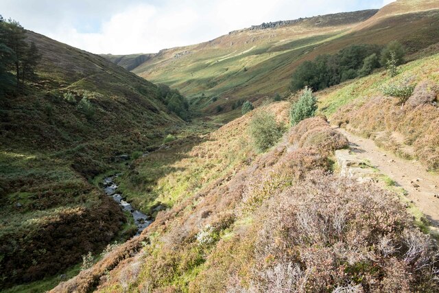
The valley is situated near the village of Edale, and its name comes from the Old English word "clough," meaning a narrow valley or ravine. Grindsbrook Clough is characterized by its steep sides, carved out by the flow of the River Noe over thousands of years.
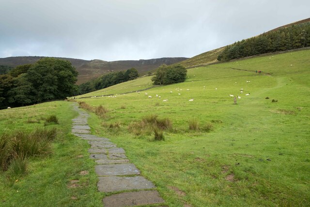
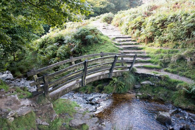
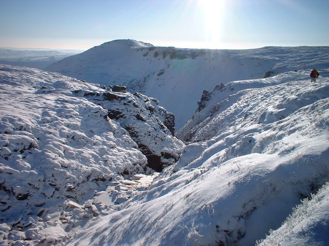
The valley is known for its rugged and rocky terrain, with towering cliffs and cascading waterfalls. It offers a variety of walking trails, ranging from easy strolls to more challenging hikes, making it a favorite spot among hikers and climbers.
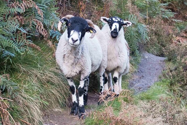
The landscape of Grindsbrook Clough is teeming with wildlife and plant species, making it an ideal location for nature enthusiasts. Visitors can spot a range of bird species, such as peregrine falcons, kestrels, and curlews, as well as rare plants like the delicate alpine lady's mantle.
The valley also holds historical significance, with evidence of human activity dating back thousands of years. It is home to ancient archaeological sites, including prehistoric burial mounds and ancient rock carvings, adding to its cultural and historical value.
Overall, Grindsbrook Clough is a captivating and tranquil destination that offers visitors the opportunity to immerse themselves in the beauty of nature, explore its diverse wildlife, and experience the rich history of Derbyshire's landscape.
If you have any feedback on the listing, please let us know in the comments section below.
Grindsbrook Clough Images
Images are sourced within 2km of 53.381354/-1.8277707 or Grid Reference SK1187. Thanks to Geograph Open Source API. All images are credited.
Grindsbrook Clough is located at Grid Ref: SK1187 (Lat: 53.381354, Lng: -1.8277707)
Administrative County: Derbyshire
District: High Peak
Police Authority: Derbyshire
What 3 Words
///eager.haggle.hikes. Near High Peak, Derbyshire
Nearby Locations
Related Wikis
Grindslow Knoll
Grindslow Knoll is a hill in the Dark Peak area of the Peak District National Park in Derbyshire, England. It is joined to Kinder Scout by a high col though...

Edale War Memorial
Edale War Memorial is a 20th-century grade II listed war memorial in Edale, Derbyshire. == History == The war memorial features the names of local residents...

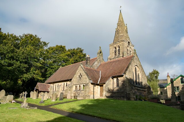
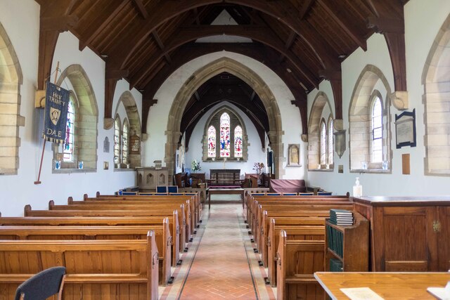
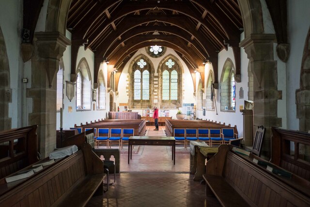
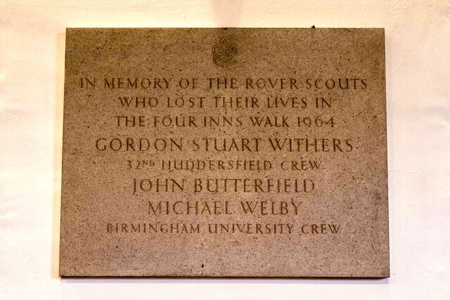
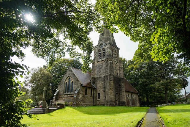
The Church of the Holy and Undivided Trinity, Edale
The Church of the Holy and Undivided Trinity, Edale, is a Grade II listed parish church in the Church of England in Edale, Derbyshire. == History == The...

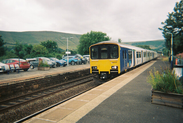
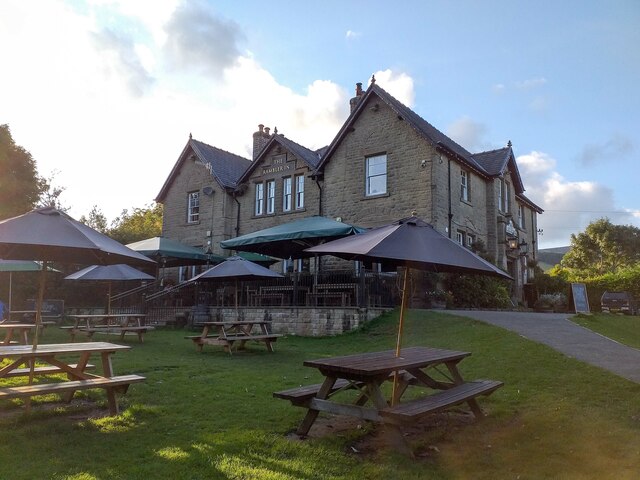
Edale
Edale is a village and civil parish in the Peak District, Derbyshire, England, whose population was 353 at the 2011 Census. Edale, with an area of 7,030...
Nearby Amenities
Located within 500m of 53.381354,-1.8277707Have you been to Grindsbrook Clough?
Leave your review of Grindsbrook Clough below (or comments, questions and feedback).