Hartfield
Settlement in Sussex Wealdon
England
Hartfield
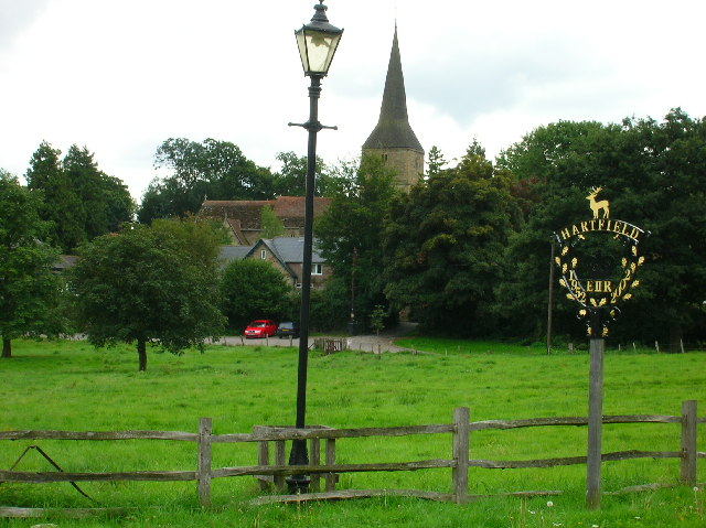
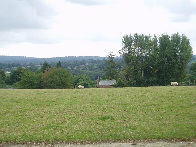
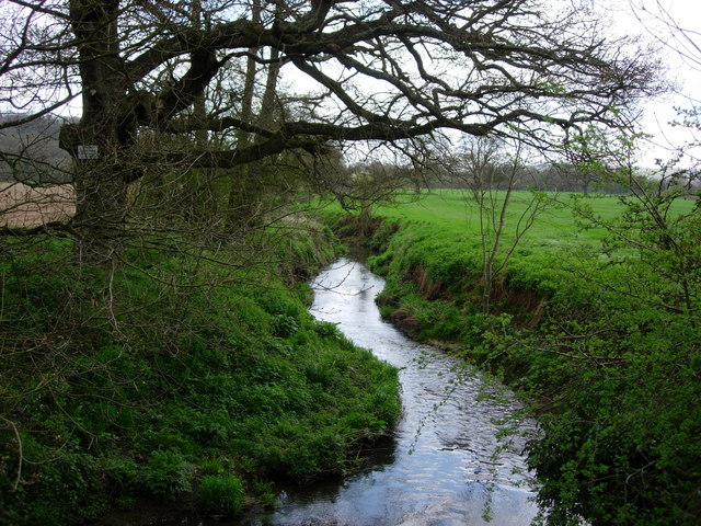
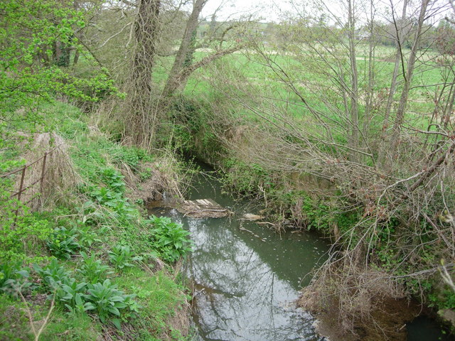
Hartfield is a small village located in the Wealden District of East Sussex, England. Situated on the northern edge of Ashdown Forest, it covers an area of approximately 7.5 square miles. The village is surrounded by picturesque countryside, making it an attractive destination for nature lovers and outdoor enthusiasts.
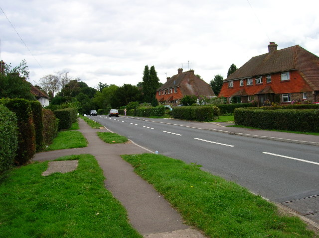
With a population of around 2,500 people, Hartfield has a close-knit community feel. The village is known for its quaint charm, featuring traditional buildings, a historic church, and a village green. The High Street is lined with a variety of local shops, including a post office, a bakery, and a few cozy pubs serving traditional British fare.
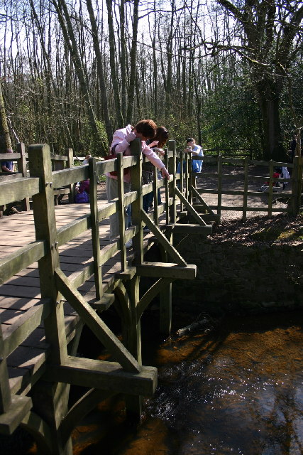
Hartfield holds historical significance as the birthplace of the beloved children's book character Winnie-the-Pooh. The author, A.A. Milne, drew inspiration from the surrounding Ashdown Forest, which has since become a popular tourist attraction for fans of the bear and his friends.
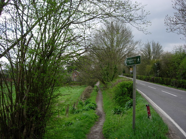
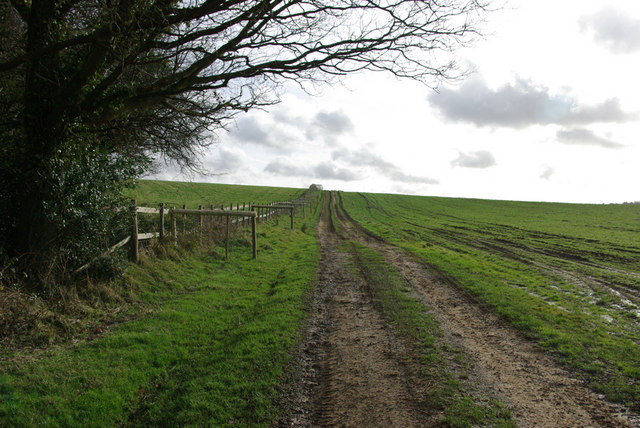
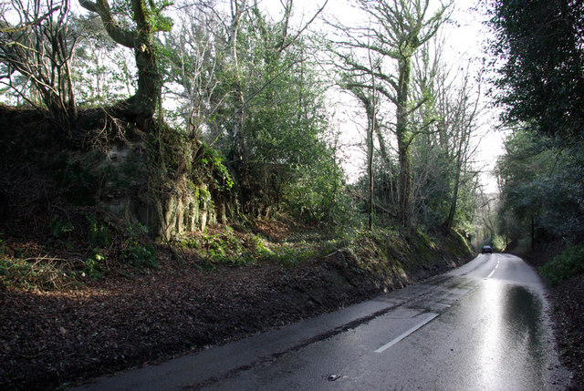
The village offers plenty of opportunities for outdoor activities, with numerous walking and cycling routes in the area. Ashdown Forest, a designated Area of Outstanding Natural Beauty, provides a diverse landscape of heathland, woodland, and meadows, home to an array of wildlife and plant species.
Hartfield benefits from good transport links, with regular bus services connecting it to nearby towns and villages. The village also has its own primary school, making it an appealing place to raise a family. Overall, Hartfield offers a tranquil and picturesque setting, ideal for those seeking a peaceful escape in the heart of the Sussex countryside.
If you have any feedback on the listing, please let us know in the comments section below.
Hartfield Images
Images are sourced within 2km of 51.101877/0.10982641 or Grid Reference TQ4735. Thanks to Geograph Open Source API. All images are credited.


Hartfield is located at Grid Ref: TQ4735 (Lat: 51.101877, Lng: 0.10982641)
Administrative County: East Sussex
District: Wealdon
Police Authority: Sussex
What 3 Words
///defeat.stump.webcams. Near Groombridge, East Sussex
Nearby Locations
Related Wikis

Hartfield
Hartfield is a village and civil parish in the Wealden district of East Sussex, England. The parish also includes the settlements of Colemans Hatch, Hammerwood...

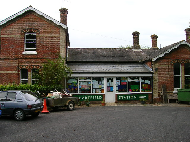
Hartfield railway station
Hartfield was a railway station serving Hartfield, England, on the Three Bridges to Tunbridge Wells Central Line which closed in 1967, a casualty of the...

Cotchford Farm
Cotchford Farm is a farmhouse building to the southwest of the village of Hartfield, East Sussex, in the High Weald Area of Outstanding Natural Beauty...
Withyham Priory
Withyham Priory was a Benedictine monastic house in East Sussex, extant in 1086 and dissolved in 1413. == History == Robert, Count of Mortain, some time...

Withyham
Withyham is a village and large civil parish in the Wealden district of East Sussex, England. The village is situated 7 miles south west of Royal Tunbridge...

Mills Rocks
Mills Rocks is a 1.9-hectare (4.7-acre) biological Site of Special Scientific Interest south-east of East Grinstead in West Sussex.This site has rock outcrops...
Oliver Sutton (RAF officer)
Captain Oliver Manners Sutton (12 March 1896 – 16 August 1921) was a British First World War flying ace credited with seven aerial victories. == Family... ==

Upper Hartfield
Upper Hartfield is a small village slightly west of Hartfield in East Sussex, England. The Tudor house "Apedroc" in Upper Hartfield is the former home...
Nearby Amenities
Located within 500m of 51.101877,0.10982641Have you been to Hartfield?
Leave your review of Hartfield below (or comments, questions and feedback).