Rough Wood
Wood, Forest in Sussex Wealden
England
Rough Wood
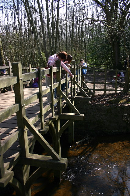
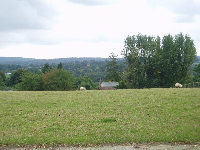
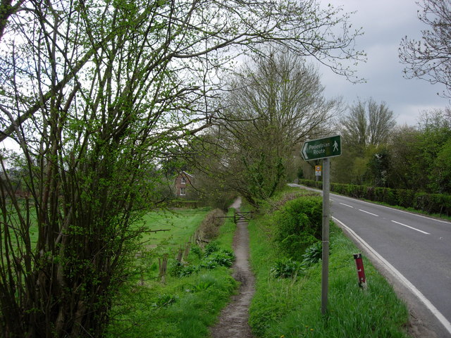
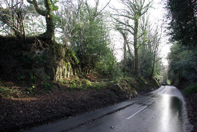
Rough Wood is a picturesque forest located in the county of Sussex, England. It covers an area of approximately 500 acres and is known for its natural beauty and diverse range of flora and fauna. The forest is characterized by its dense woodland, with towering oak, beech, and pine trees dominating the landscape.
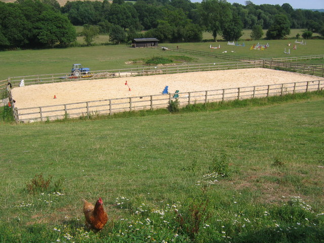
The forest is home to a variety of wildlife, including deer, foxes, badgers, and a plethora of bird species. Nature enthusiasts often visit Rough Wood to observe and appreciate the abundant wildlife in its natural habitat. The forest also provides ample opportunities for activities such as birdwatching, hiking, and photography.
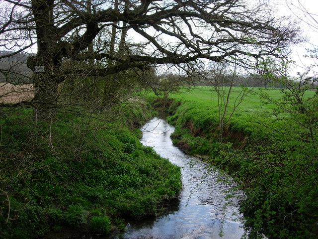
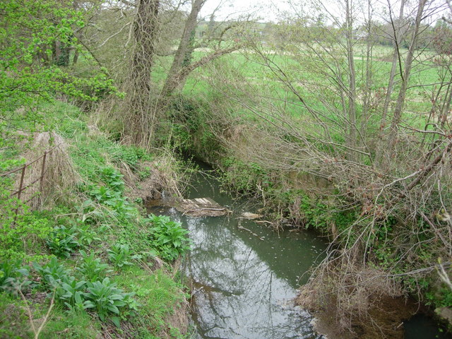
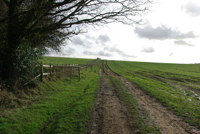
The forest is crisscrossed by several well-maintained trails, allowing visitors to explore its different sections. These trails offer stunning views of the woodland and its surroundings, including rolling hills and meandering streams. One of the most popular trails in Rough Wood is the Woodland Walk, which takes visitors through the heart of the forest and showcases the diverse flora and fauna that call the area home.
Rough Wood is also a haven for plant life, with a wide range of tree species, wildflowers, and ferns dotting the forest floor. Bluebells, primroses, and wood sorrel are just a few of the many colorful flowers that bloom in the spring, creating a vibrant and enchanting atmosphere.
Overall, Rough Wood is a true natural gem, offering visitors a chance to immerse themselves in the tranquility and beauty of Sussex's woodlands.
If you have any feedback on the listing, please let us know in the comments section below.
Rough Wood Images
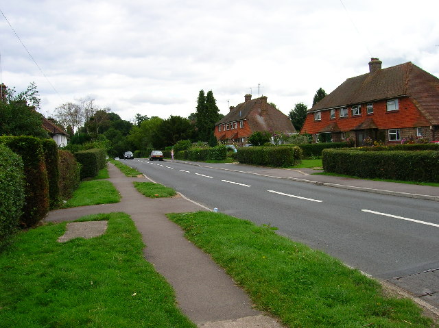
Images are sourced within 2km of 51.103353/0.10180853 or Grid Reference TQ4735. Thanks to Geograph Open Source API. All images are credited.


Rough Wood is located at Grid Ref: TQ4735 (Lat: 51.103353, Lng: 0.10180853)
Administrative County: East Sussex
District: Wealden
Police Authority: Sussex
What 3 Words
///computers.ponies.weeknight. Near Forest Row, East Sussex
Nearby Locations
Related Wikis

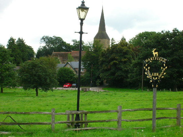
Hartfield
Hartfield is a village and civil parish in the Wealden district of East Sussex, England. The parish also includes the settlements of Colemans Hatch, Hammerwood...

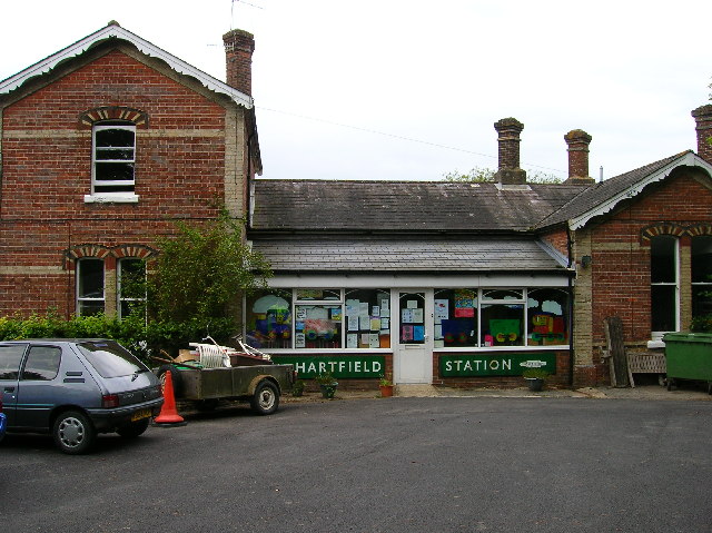
Hartfield railway station
Hartfield was a railway station serving Hartfield, England, on the Three Bridges to Tunbridge Wells Central Line which closed in 1967, a casualty of the...

Upper Hartfield
Upper Hartfield is a small village slightly west of Hartfield in East Sussex, England. The Tudor house "Apedroc" in Upper Hartfield is the former home...

Cotchford Farm
Cotchford Farm is a farmhouse building to the southwest of the village of Hartfield, East Sussex, in the High Weald Area of Outstanding Natural Beauty...

Mills Rocks
Mills Rocks is a 1.9-hectare (4.7-acre) biological Site of Special Scientific Interest south-east of East Grinstead in West Sussex.This site has rock outcrops...
Bolebroke Castle Miniature Railway
The Bolebroke Castle Miniature Railway or Bolebroke Castle and Lakes Railway (often abbreviated to BC&LR) was a 7+1⁄4 inches (180 mm) railway that ran...

Bolebroke Castle
Bolebroke Castle is a 15th-century hunting lodge located north of the village of Hartfield, East Sussex, England. It is a Grade II* listed building.The...

Bassetts Manor
Bassetts Manor is a Grade II-listed building in Hartfield, East Sussex, England. == Location == The manor is located North of the village of Hartfield...
Nearby Amenities
Located within 500m of 51.103353,0.10180853Have you been to Rough Wood?
Leave your review of Rough Wood below (or comments, questions and feedback).