Gallypot Street
Settlement in Sussex Wealdon
England
Gallypot Street
Gallypot Street is a charming and historic village located in the picturesque county of Sussex, England. Nestled amidst rolling hills and lush green countryside, this idyllic village offers a tranquil retreat for residents and visitors alike.
The origins of Gallypot Street can be traced back to the medieval era, as evidenced by the architecture and layout of the village. Traditional thatched cottages with timber frames line the narrow streets, exuding a sense of timeless beauty and rustic charm. The well-preserved historic buildings provide a glimpse into the village's rich past and offer a unique experience for history enthusiasts.
Despite its small size, Gallypot Street boasts a vibrant community spirit. The village square serves as a central gathering place, where locals convene for social events and farmers' markets. The friendly and welcoming atmosphere is palpable, making it easy for newcomers to quickly feel at home.
Surrounded by breathtaking natural beauty, Gallypot Street is an ideal destination for outdoor enthusiasts. The nearby South Downs National Park offers a plethora of hiking and cycling trails, allowing visitors to explore the stunning landscapes and enjoy panoramic views. Additionally, the village is situated close to several picturesque gardens and stately homes, providing ample opportunities for leisurely strolls and cultural outings.
In terms of amenities, Gallypot Street offers a range of small independent shops, including a traditional village bakery and a quaint tea room, where one can indulge in freshly baked goods and a cup of tea. The local pub, with its cozy interior and roaring fireplace, is a popular spot for locals and visitors to unwind and enjoy hearty meals and local ales.
Overall, Gallypot Street is a captivating slice of English village life, combining history, natural beauty, and a strong sense of community to create a truly enchanting destination.
If you have any feedback on the listing, please let us know in the comments section below.
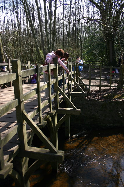
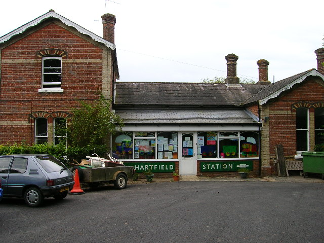
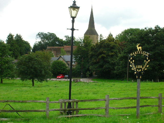
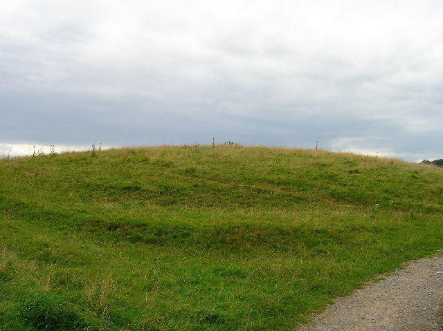
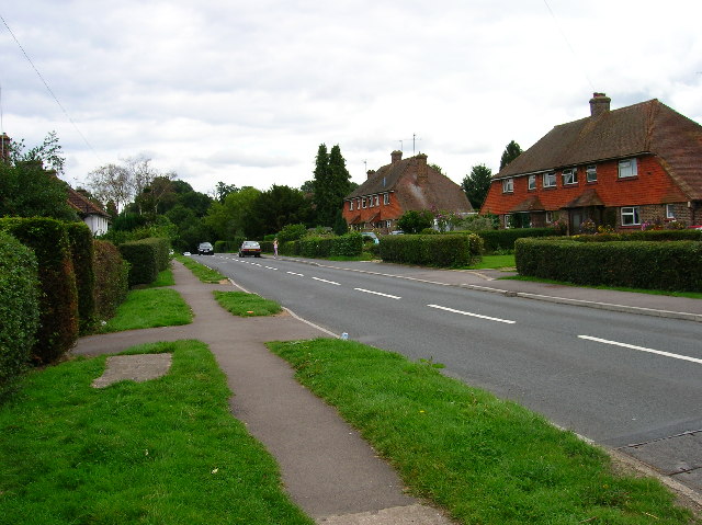
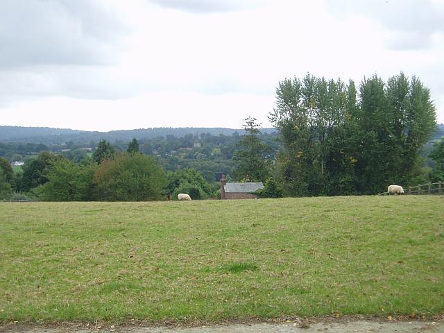
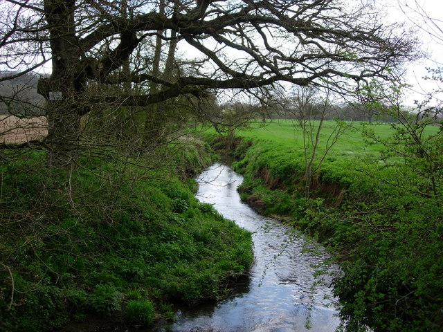
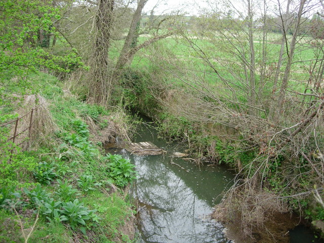
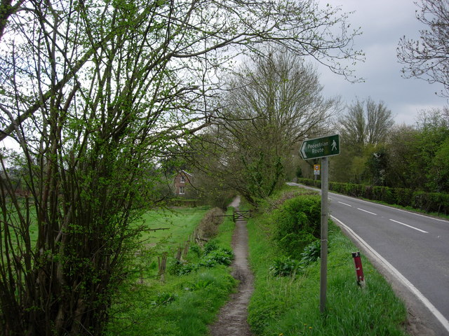
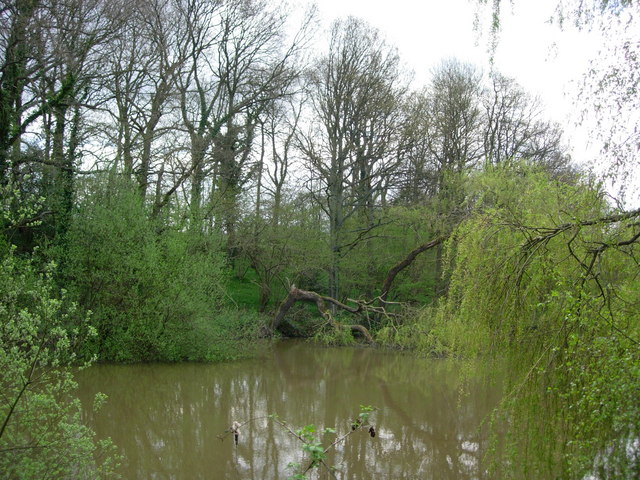
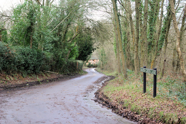
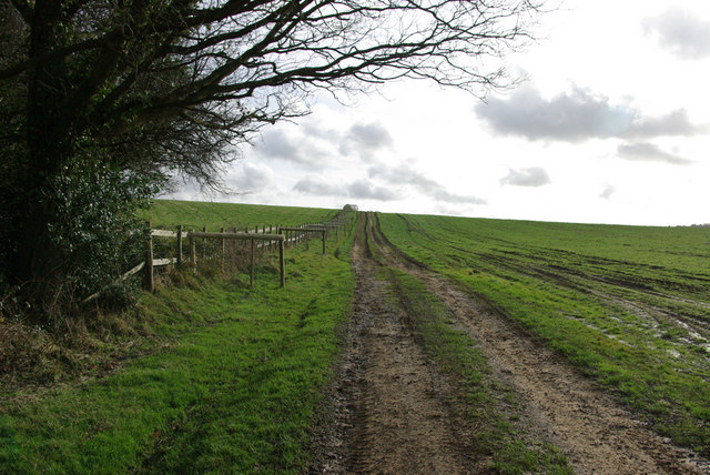
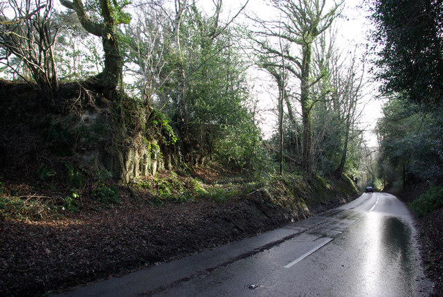
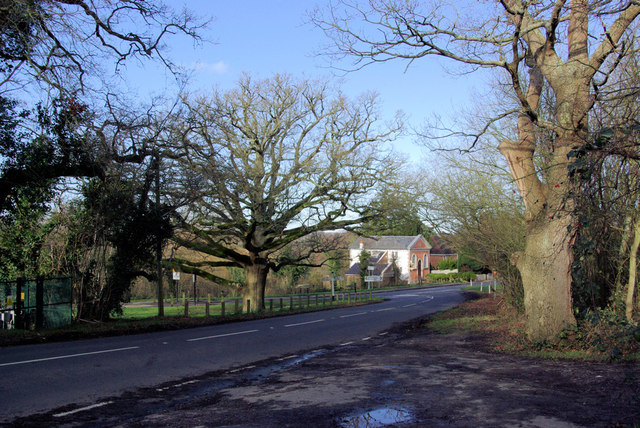
Gallypot Street Images
Images are sourced within 2km of 51.095473/0.09789492 or Grid Reference TQ4735. Thanks to Geograph Open Source API. All images are credited.


Gallypot Street is located at Grid Ref: TQ4735 (Lat: 51.095473, Lng: 0.09789492)
Administrative County: East Sussex
District: Wealdon
Police Authority: Sussex
What 3 Words
///sometimes.squeaking.haircuts. Near Forest Row, East Sussex
Nearby Locations
Related Wikis

Upper Hartfield
Upper Hartfield is a small village slightly west of Hartfield in East Sussex, England. The Tudor house "Apedroc" in Upper Hartfield is the former home...

Cotchford Farm
Cotchford Farm is a farmhouse building to the southwest of the village of Hartfield, East Sussex, in the High Weald Area of Outstanding Natural Beauty...

Hartfield
Hartfield is a village and civil parish in the Wealden district of East Sussex, England. The parish also includes the settlements of Colemans Hatch, Hammerwood...

Hartfield railway station
Hartfield was a railway station serving Hartfield, England, on the Three Bridges to Tunbridge Wells Central Line which closed in 1967, a casualty of the...
Withyham Priory
Withyham Priory was a Benedictine monastic house in East Sussex, extant in 1086 and dissolved in 1413. == History == Robert, Count of Mortain, some time...

Withyham
Withyham is a village and large civil parish in the Wealden district of East Sussex, England. The village is situated 7 miles south west of Royal Tunbridge...
Oliver Sutton (RAF officer)
Captain Oliver Manners Sutton (12 March 1896 – 16 August 1921) was a British First World War flying ace credited with seven aerial victories. == Family... ==

Ashdown House, East Sussex
Ashdown House is a country house and former school near Forest Row, East Sussex, England, a Grade II* listed building. One of the first houses in England...
Nearby Amenities
Located within 500m of 51.095473,0.09789492Have you been to Gallypot Street?
Leave your review of Gallypot Street below (or comments, questions and feedback).