Hampshire Holt
Wood, Forest in Lincolnshire East Lindsey
England
Hampshire Holt
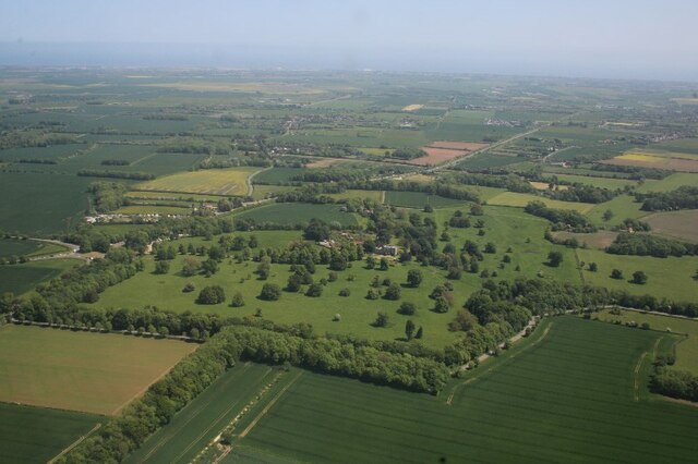
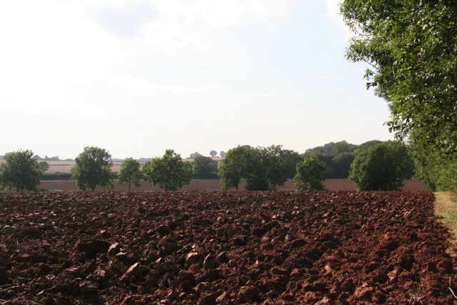
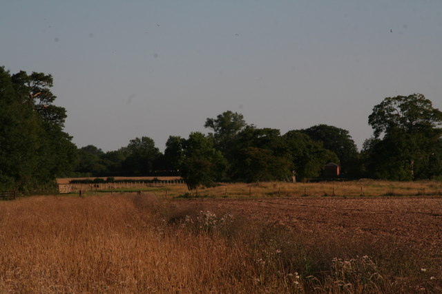
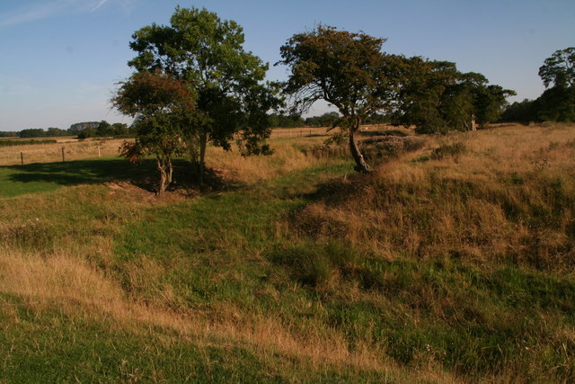
Hampshire Holt is a small village located in the county of Lincolnshire, England. Nestled within a picturesque forested area, it is known for its abundant woodlands and natural beauty. The village sits on the edge of the Lincolnshire Wolds, an Area of Outstanding Natural Beauty, making it a popular destination for nature enthusiasts and outdoor lovers.
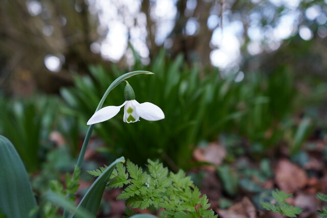
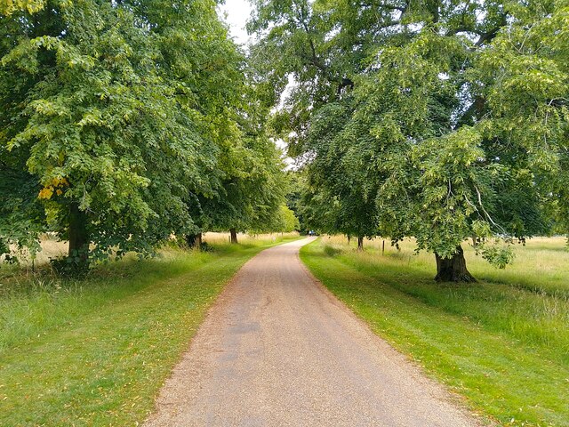
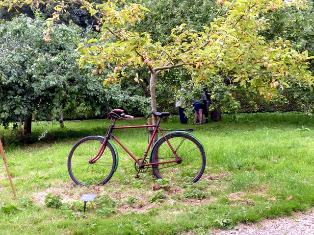
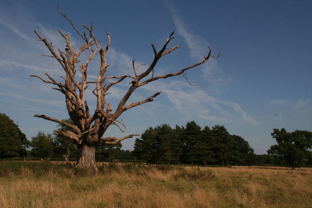
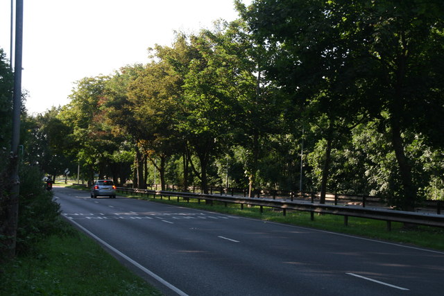
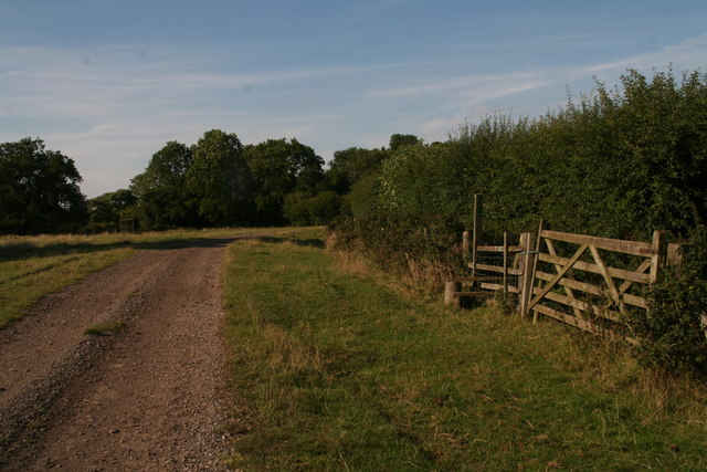
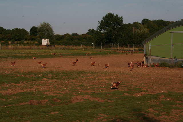
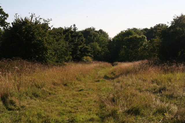
The woodlands surrounding Hampshire Holt are rich in diverse flora and fauna, offering a thriving habitat for a variety of wildlife. Visitors can explore the numerous walking trails that wind through the forest, providing an immersive experience in the natural surroundings. The area is particularly stunning during the autumn months when the foliage transforms into a vibrant display of colors.
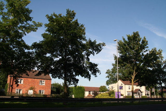
Despite its small size, Hampshire Holt boasts a close-knit community that prides itself on its strong sense of identity and heritage. The village is home to a charming collection of traditional cottages, some of which date back centuries, adding to its rustic charm. The locals are known for their warm hospitality, and the village often hosts community events and celebrations throughout the year.
For those seeking a peaceful retreat away from the hustle and bustle of city life, Hampshire Holt offers a tranquil escape. Whether it is exploring the woodlands, enjoying a picnic by the river, or simply taking in the idyllic surroundings, this village is a true haven for nature lovers and those looking to reconnect with the beauty of the natural world.
If you have any feedback on the listing, please let us know in the comments section below.
Hampshire Holt Images
Images are sourced within 2km of 53.170896/0.20127627 or Grid Reference TF4766. Thanks to Geograph Open Source API. All images are credited.
Hampshire Holt is located at Grid Ref: TF4766 (Lat: 53.170896, Lng: 0.20127627)
Administrative County: Lincolnshire
District: East Lindsey
Police Authority: Lincolnshire
What 3 Words
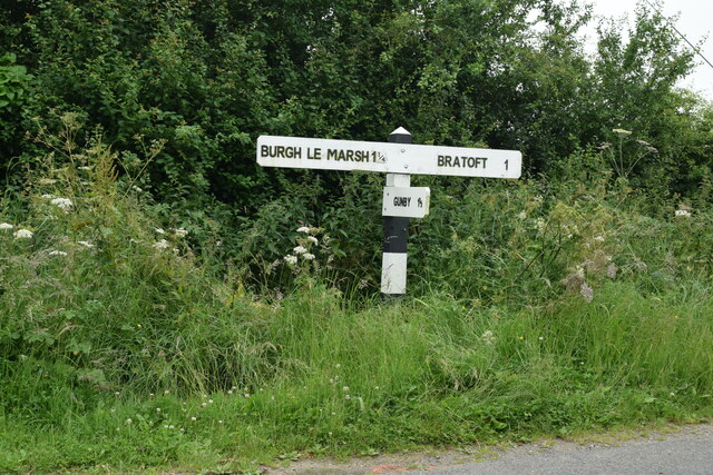
///hillsides.hypocrite.crisps. Near Burgh le Marsh, Lincolnshire
Nearby Locations
Related Wikis

Burgh-le-Marsh railway station
Burgh-le-Marsh was a railway station on the East Lincolnshire Railway which served the town of Burgh le Marsh in Lincolnshire between 1848 and 1970. It...

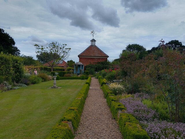
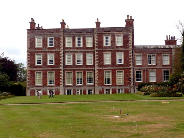
Gunby Hall
Gunby Hall is a country house in Gunby, near Spilsby, in Lincolnshire, England, reached by a half mile long private drive. The Estate comprises the 42...

Bratoft
Bratoft is a small hamlet in the East Lindsey district of Lincolnshire, England. It is situated approximately 5 miles (8 km) east from Spilsby, 2 miles...

Candlesby with Gunby
Candlesby with Gunby is a civil parish in the East Lindsey district of Lincolnshire, England, about 5 miles (8.0 km) east of the town of Spilsby, and includes...

Candlesby
Candlesby is a village and former civil parish, now in the parish of Candlesby with Gunby, in the East Lindsey district of Lincolnshire, England. It is...

Irby in the Marsh
Irby in the Marsh is a village and civil parish in the East Lindsey district of Lincolnshire, England. It is situated on the B1195 road, geographically...

Orby
Orby is a village and civil parish in the East Lindsey district of Lincolnshire, England. It is situated approximately 9 miles (14 km) east from the town...
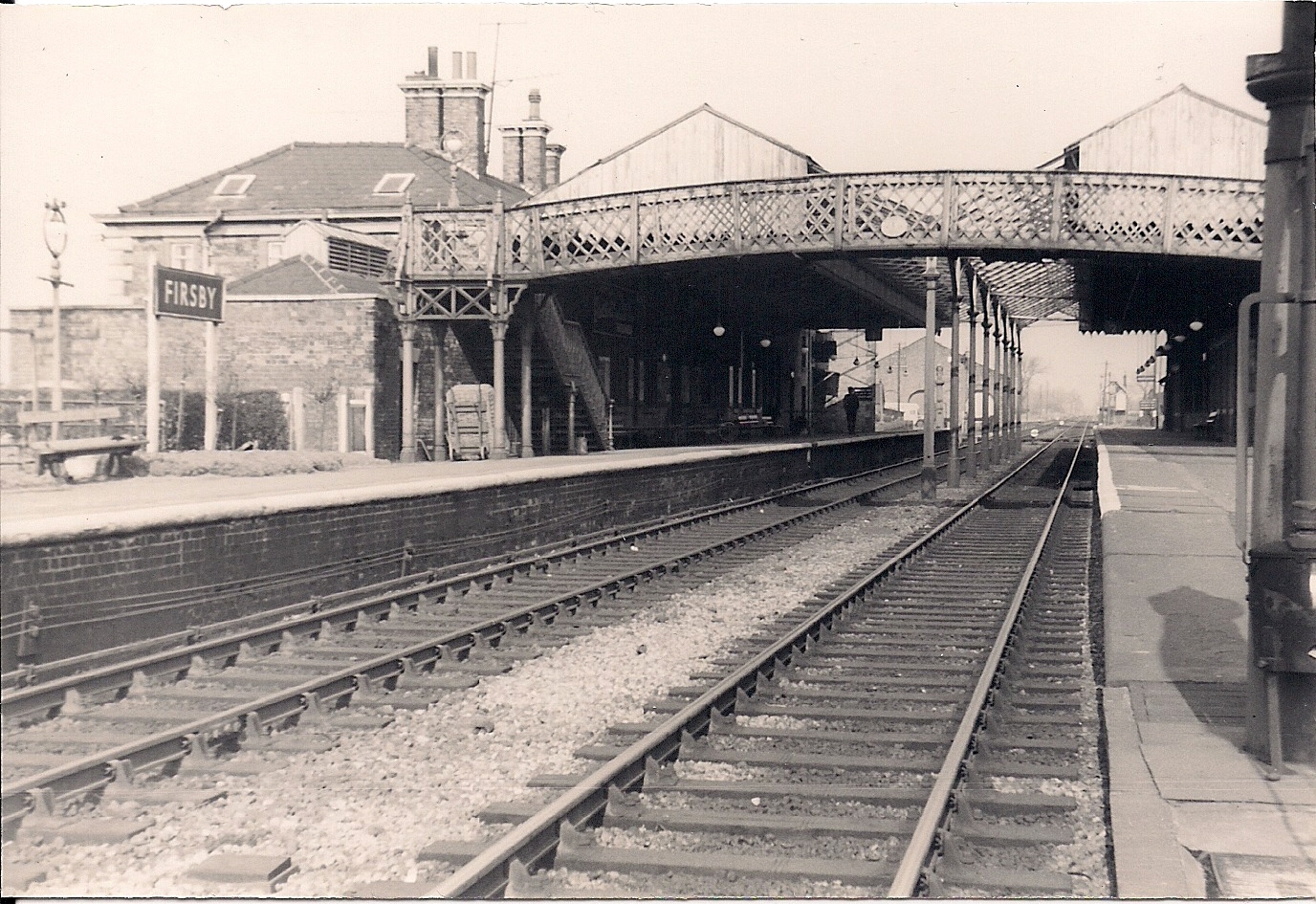
Firsby railway station
Firsby railway station was a station in Firsby, Lincolnshire. It served as a main line station and a terminus for two branch lines to Skegness and Spilsby...
Nearby Amenities
Located within 500m of 53.170896,0.20127627Have you been to Hampshire Holt?
Leave your review of Hampshire Holt below (or comments, questions and feedback).