Hartest Hill

Settlement in Suffolk Babergh

England

Hartest Hill

Cottage on Workhouse Hill, Hartest
Cottage on Workhouse Hill, Hartest Credit: David Howard

Hartest Hill is a picturesque village located in the county of Suffolk, England. Situated on the eastern edge of the county, it is part of the Babergh district and lies approximately 10 miles south-west of the town of Bury St Edmunds. The village is nestled amidst the undulating countryside of the Suffolk landscape, providing residents and visitors with stunning views and a tranquil atmosphere.

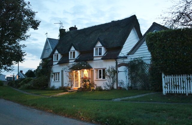
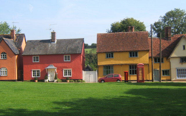
The heart of Hartest Hill is dominated by a charming village green, which is surrounded by a collection of quaint thatched cottages and traditional red-brick houses. The village also boasts a beautiful 15th-century church, St Mary's, which stands as a testament to the area's rich history.

While Hartest Hill may be small in size, it offers a range of amenities and activities to cater to its residents and visitors. The village is home to a popular pub, The Crown Inn, where locals and tourists can enjoy a pint of local ale or indulge in a delicious meal. Additionally, there is a village shop that provides essential groceries and a post office.

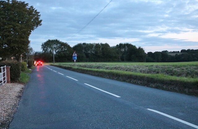
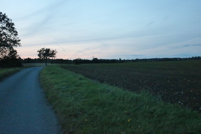
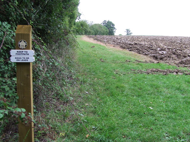
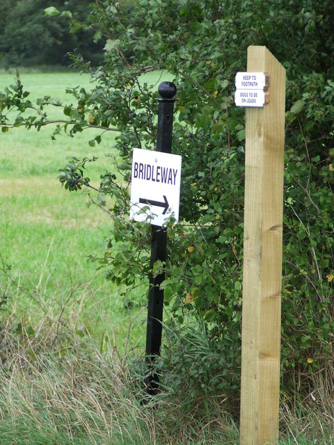
For those who appreciate the great outdoors, Hartest Hill offers plentiful opportunities for walking, cycling, and exploring the surrounding countryside. There are several footpaths and trails that wind through the village and its surrounding fields, allowing visitors to fully immerse themselves in the natural beauty of the area.

Overall, Hartest Hill is a charming and idyllic village that embodies the charm and tranquility of the Suffolk countryside. With its beautiful architecture, stunning views, and welcoming community, it is a hidden gem that is well worth a visit.

If you have any feedback on the listing, please let us know in the comments section below.
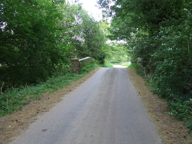
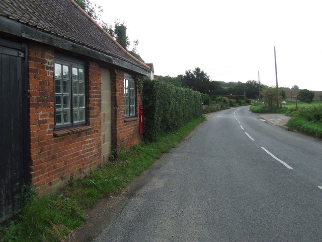
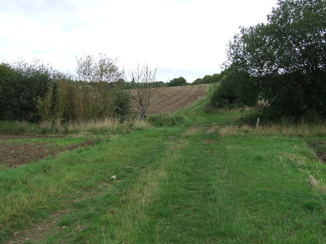
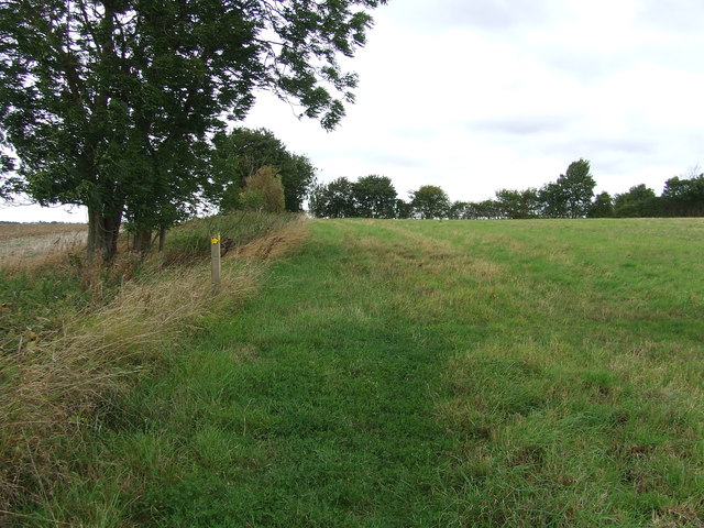
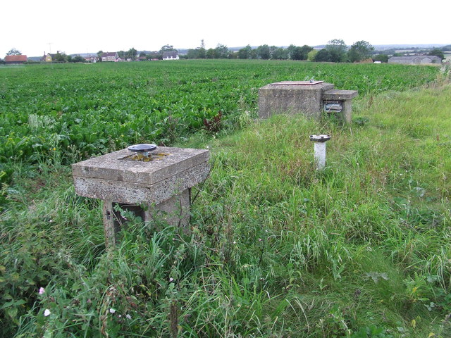
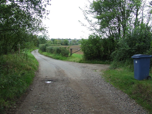
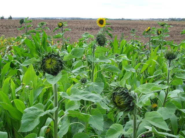
Hartest Hill Images

Images are sourced within 2km of 52.13675/0.6846 or Grid Reference TL8352. Thanks to Geograph Open Source API. All images are credited.

Cottage on Workhouse Hill, Hartest
Brockley Road, Cross Green
Loading area by Somerton Road, Mile End Mainly used for hay.
Loading area by Somerton Road, Mile End
Mainly used for hay.
Somerton Road, Mile End
Field and tree by Somerton Road, Mile End
Part of Cooks Farm
Part of Cooks Farm
Small Bridge Small bridge on country road over unnamed stream at Boxted, Suffolk.
Small Bridge
Small bridge on country road over unnamed stream at Boxted, Suffolk.
Village Postbox Village postbox mounted in a small buildings wall at Boxted, Suffolk.
Village Postbox
Village postbox mounted in a small buildings wall at Boxted, Suffolk.
Footpath Junction Footpath junction near to Boxted, Suffolk.
Footpath Junction
Footpath junction near to Boxted, Suffolk.
Footpath Sign Post Footpath sign post near to Hartest, Suffolk.
Footpath Sign Post
Footpath sign post near to Hartest, Suffolk.
Old AA Sign Old AA road sign near to Hartest
Old AA Sign
Old AA road sign near to Hartest
Footpath To Chadacre Park Footpath looking east between Hartest Hill and Chadacre Park near to Hartest, Suffolk
Footpath To Chadacre Park
Footpath looking east between Hartest Hill and Chadacre Park near to Hartest, Suffolk
Nuclear Monitoring Post Surface parts of a now unused Royal Observer Corps nuclear monitoring post near to Hartest, Suffolk see <span class="nowrap"><a title="http://www.subbrit.org.uk/rsg/roc/db/988807445.019002.html" rel="nofollow ugc noopener" href="http://www.subbrit.org.uk/rsg/roc/db/988807445.019002.html">Link</a><img style="margin-left:2px;" alt="External link" title="External link - shift click to open in new window" src="https://s1.geograph.org.uk/img/external.png" width="10" height="10"/></span> and <span class="nowrap"><a title="http://en.wikipedia.org/wiki/Royal_Observer_Corps_Monitoring_Post" rel="nofollow ugc noopener" href="http://en.wikipedia.org/wiki/Royal_Observer_Corps_Monitoring_Post">Link</a><img style="margin-left:2px;" alt="External link" title="External link - shift click to open in new window" src="https://s1.geograph.org.uk/img/external.png" width="10" height="10"/></span> for more info.
Nuclear Monitoring Post
Surface parts of a now unused Royal Observer Corps nuclear monitoring post near to Hartest, Suffolk see LinkExternal link and LinkExternal link for more info.
Barns Barns at Lord's Farm near to Hartest, Suffolk.
Barns
Barns at Lord's Farm near to Hartest, Suffolk.
Start Of Public Road Start of the public road near to Hartest, Suffolk.
Start Of Public Road
Start of the public road near to Hartest, Suffolk.
Keep To Footpath Local signs added to public footpath sign near to Hartest, Suffolk.
Keep To Footpath
Local signs added to public footpath sign near to Hartest, Suffolk.
Sunflowers Sunflowers near to Hartest, Suffolk.
Sunflowers
Sunflowers near to Hartest, Suffolk.
Local signs Local sign plus a public footpath sign near to Hartest, Suffolk.
Local signs
Local sign plus a public footpath sign near to Hartest, Suffolk.
Show me another place!

Hartest Hill is located at Grid Ref: TL8352 (Lat: 52.13675, Lng: 0.6846)

Administrative County: Suffolk

District: Babergh

Police Authority: Suffolk

What 3 Words

///grudges.dote.quench. Near Glemsford, Suffolk

Related Wikis

Hartest

Hartest is a small village and civil parish in the Babergh district of the English county of Suffolk. It is located halfway between Bury St. Edmunds and...

Audley End, Suffolk

Audley End is a hamlet in the civil parish of Lawshall in the Babergh district in the county of Suffolk, England. It is located between Lambs Lane and...

Boxted, Suffolk

Boxted is a village and civil parish in the Babergh district of Suffolk, England. Located around 8 miles (13 km) north of Sudbury, in 2005 it had a population...

Shimpling

Shimpling is a village and civil parish in south Suffolk, England. About 7 miles (11 km) from Bury St Edmunds, it is part of Babergh district. The village...

Kentwell Woods

Kentwell Woods is a 77.6-hectare (192-acre) biological Site of Special Scientific Interest in fifteen woods in fourteen separate blocks east and north...

Somerton, Suffolk

Somerton is a civil parish in the Babergh district of Suffolk in eastern England. Somerton is split into two smaller villages: Upper Somerton with a population...

Brockley, Suffolk

Brockley (not to be confused with Brockley Green, 8 miles (13 km) southwest in Hundon parish) is a village and civil parish in the West Suffolk district...

Frithy and Chadacre Woods

Frithy and Chadacre Woods is a 28.7-hectare (71-acre) biological Site of Special Scientific Interest (SSSI) in the parishes of Lawshall and Shimpling in...

Nearby Amenities

Located within 500m of 52.13675,0.6846
Fellowship Productions Ltd
Addr City: Bury St Edmunds
Addr Housename: Fosters Barn
Addr Postcode: IP29 4ET
Addr Street: Shimpling Road
Addr Village: Hartest
Office: web_design
Phone: +44 1284 830888
Source: GPS
Website: https://www.fellowshipproductions.co.uk/
Lat/Long: 52.1347097/0.6872481
Power: pole
Lat/Long: 52.135588/0.6776883
Power: pole
Lat/Long: 52.1361255/0.678973
Power: pole
Lat/Long: 52.1367338/0.6801921
Power: pole
Lat/Long: 52.1373487/0.6814514
Power: pole
Lat/Long: 52.1381183/0.6827322
Power: pole
Lat/Long: 52.1388188/0.6839418
Power: pole
Lat/Long: 52.1396526/0.6854077
Power: pole
Lat/Long: 52.1402798/0.6864886
The data included in this document is from www.openstreetmap.org. The data is made available under ODbL.

Have you been to Hartest Hill?

Leave your review of Hartest Hill below (or comments, questions and feedback).