Hartest

Civil Parish in Suffolk Babergh

England

Hartest

Cottage on Workhouse Hill, Hartest
Cottage on Workhouse Hill, Hartest Credit: David Howard

Hartest is a civil parish located in the county of Suffolk, England. It is situated in the Babergh district, approximately 11 miles south-west of the town of Bury St Edmunds. The parish covers an area of about 1,021 hectares and is home to a population of around 420 residents.

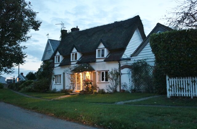
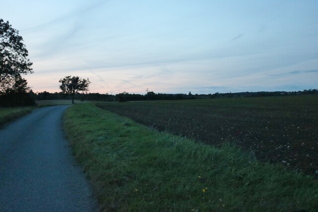
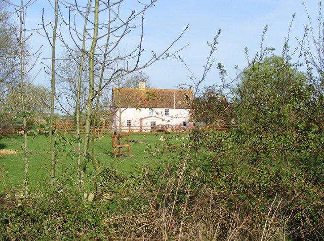
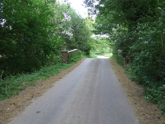
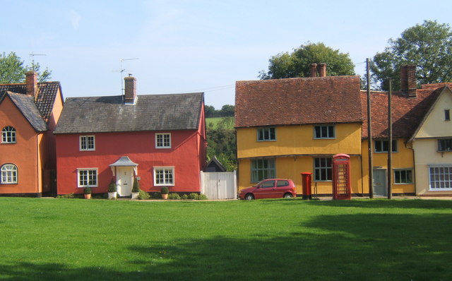
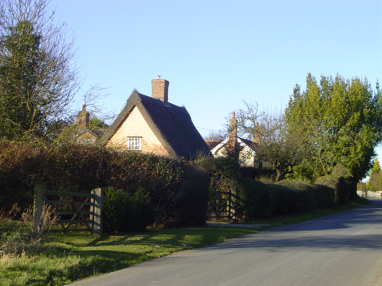
The village of Hartest is known for its picturesque beauty and charming rural character. It is surrounded by rolling hills and lush green fields, making it an ideal location for countryside walks and outdoor activities. The parish is also characterized by its traditional thatched-roof cottages, historic buildings, and well-preserved architecture.

One of the notable landmarks in Hartest is the 13th-century St Mary's Church, which stands in the heart of the village. The church is known for its stunning stained glass windows and ancient wall paintings, attracting visitors from far and wide. Additionally, there is a village green and a local pub called The Crown Inn, which offers a warm and welcoming atmosphere for locals and visitors alike.

Hartest is a close-knit community with a strong sense of community spirit. The parish organizes various events and activities throughout the year, including summer fairs, harvest festivals, and Christmas celebrations. There are also several community groups and clubs that residents can join, promoting a sense of camaraderie and engagement.

Overall, Hartest, Suffolk is a picturesque and welcoming village that offers a peaceful and idyllic lifestyle for its residents. With its natural beauty, historic charm, and sense of community, it is a sought-after destination for those seeking a quintessential English countryside experience.

If you have any feedback on the listing, please let us know in the comments section below.
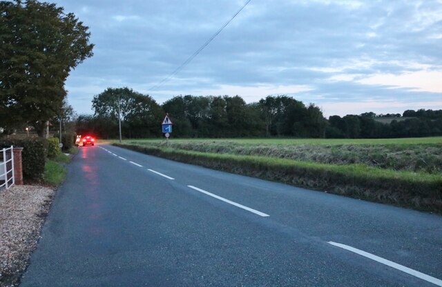
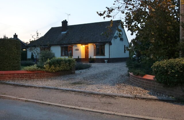
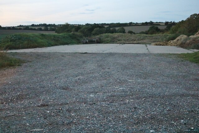
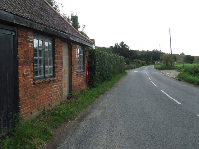
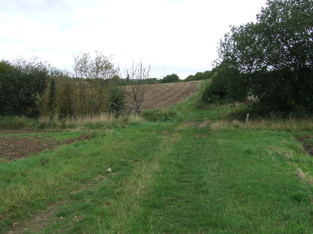
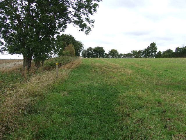
Hartest Images

Images are sourced within 2km of 52.144622/0.678919 or Grid Reference TL8352. Thanks to Geograph Open Source API. All images are credited.

Cottage on Workhouse Hill, Hartest
Brockley Road, Cross Green
Bungalow on Bury Road, Brockley
Loading area by Somerton Road, Mile End Mainly used for hay.
Loading area by Somerton Road, Mile End
Mainly used for hay.
Somerton Road, Mile End
Field and tree by Somerton Road, Mile End
Chapel Lane to Manor Farm
Brockley Baptist Chapel
Brockley Village Hall
Farmhouse, Brockley Green.
Heading to Brockley (Chapel Lane)
Part of Cooks Farm
Part of Cooks Farm
Small Bridge Small bridge on country road over unnamed stream at Boxted, Suffolk.
Small Bridge
Small bridge on country road over unnamed stream at Boxted, Suffolk.
Village Postbox Village postbox mounted in a small buildings wall at Boxted, Suffolk.
Village Postbox
Village postbox mounted in a small buildings wall at Boxted, Suffolk.
Footpath Junction Footpath junction near to Boxted, Suffolk.
Footpath Junction
Footpath junction near to Boxted, Suffolk.
Footpath Sign Post Footpath sign post near to Hartest, Suffolk.
Footpath Sign Post
Footpath sign post near to Hartest, Suffolk.
Old AA Sign Old AA road sign near to Hartest
Old AA Sign
Old AA road sign near to Hartest
Footpath To Chadacre Park Footpath looking east between Hartest Hill and Chadacre Park near to Hartest, Suffolk
Footpath To Chadacre Park
Footpath looking east between Hartest Hill and Chadacre Park near to Hartest, Suffolk
Show me another place!

Hartest is located at Grid Ref: TL8352 (Lat: 52.144622, Lng: 0.678919)

Administrative County: Suffolk

District: Babergh

Police Authority: Suffolk

What 3 Words

///envy.spruced.placed. Near Glemsford, Suffolk

Related Wikis

Nearby Amenities

Located within 500m of 52.144622,0.678919
Bus Stop
Brockley Road
Naptan AtcoCode: 390010192
Naptan Bearing: SE
Naptan BusStopType: CUS
Naptan CommonName: Brockley Road
Naptan Indicator: adj
Naptan Landmark: Candlers
Naptan NaptanCode: sufadmwg
Naptan Street: Brockley Road
Naptan Verified: no
Source: naptan_import
Lat/Long: 52.1450365/0.6761987
Bus Stop
Brockley Road
Naptan AtcoCode: 390010193
Naptan Bearing: NW
Naptan BusStopType: CUS
Naptan CommonName: Brockley Road
Naptan Indicator: opp
Naptan Landmark: Candlers
Naptan NaptanCode: sufadmwj
Naptan Street: Brockley Road
Naptan Verified: no
Source: naptan_import
Lat/Long: 52.1449733/0.6762095
Bus Stop
Hartest Green
Naptan AtcoCode: 390010780
Naptan Bearing: S
Naptan BusStopType: CUS
Naptan CommonName: Hartest Green
Naptan Indicator: adj
Naptan Landmark: Hartest Green
Naptan NaptanCode: sufjdpmw
Naptan Street: Workhouse Hill
Naptan Verified: no
Source: naptan_import
Lat/Long: 52.1403972/0.6781275
Bus Stop
Hartest Green
Naptan AtcoCode: 390010781
Naptan Bearing: N
Naptan BusStopType: CUS
Naptan CommonName: Hartest Green
Naptan Indicator: opp
Naptan Landmark: Hartest Green
Naptan NaptanCode: sufjdpta
Naptan Street: Workhouse Hill
Naptan Verified: no
Source: naptan_import
Lat/Long: 52.1404397/0.6778377
Telephone
Booth: K6
Covered: booth
Listed Status: Grade II
Lat/Long: 52.1405869/0.6788881
Post Box
Post Box Type: pillar
Ref: IP29 2129
Lat/Long: 52.1406083/0.6788586
Cross Green
Place: hamlet
Wikidata: Q2554258
Lat/Long: 52.1456636/0.6763185
Historic: memorial
Memorial: war_memorial
Lat/Long: 52.140232/0.6781626
Defibrillator
Defibrillator Location: On the rear wall of the Boxted and Hartest Institute, just off Somerton Road.
Emergency: defibrillator
Indoor: no
Ref: CHT-9004
Lat/Long: 52.1403209/0.6773458
The data included in this document is from www.openstreetmap.org. The data is made available under ODbL.

Have you been to Hartest?

Leave your review of Hartest below (or comments, questions and feedback).