Howe Green
Downs, Moorland in Derbyshire High Peak
England
Howe Green
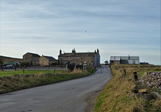
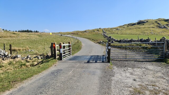
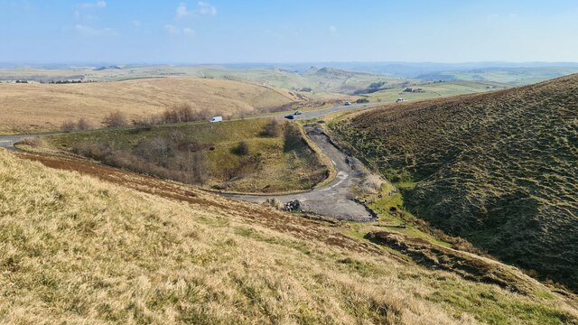
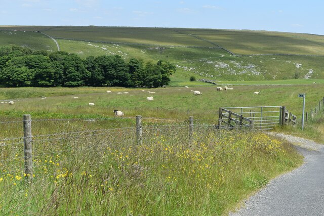
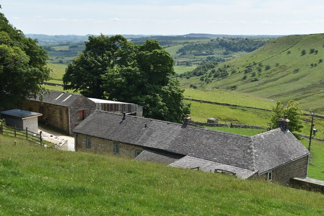
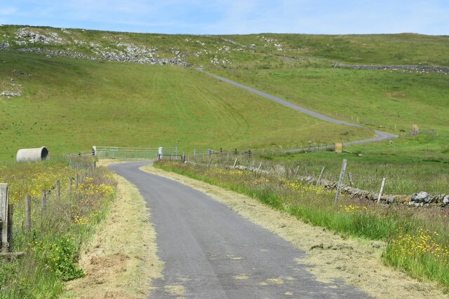
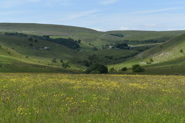
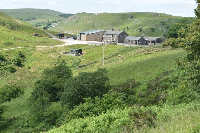
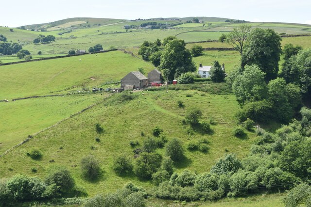
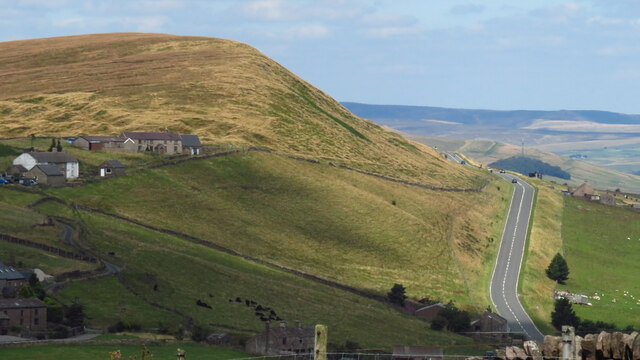
Howe Green is a charming village located in the Derbyshire county of England. Situated amidst picturesque downs and moorland, it offers breathtaking views of the surrounding natural landscape. The village is nestled in a valley, surrounded by gently rolling hills and green fields, creating a serene and peaceful atmosphere.
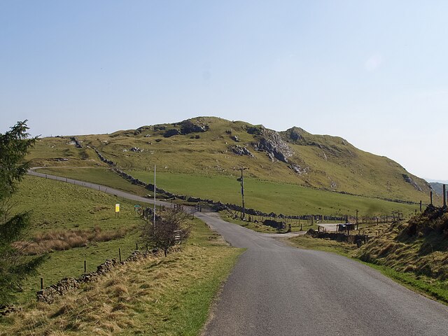
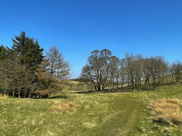
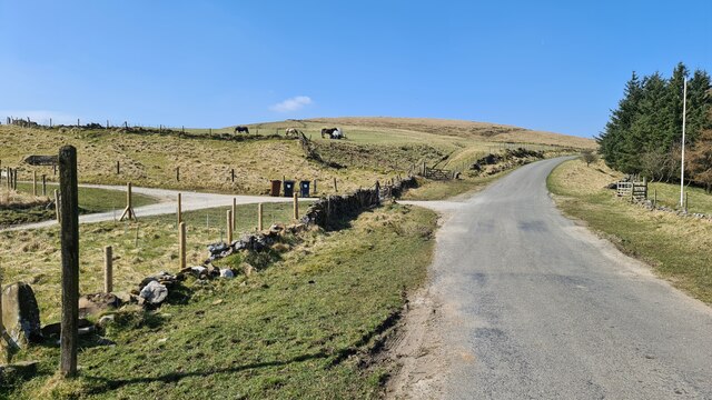
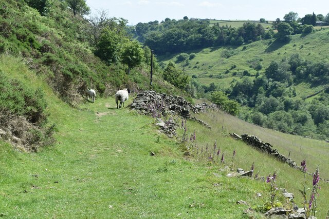
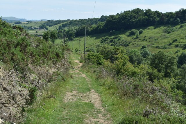
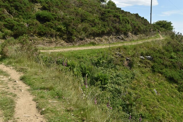
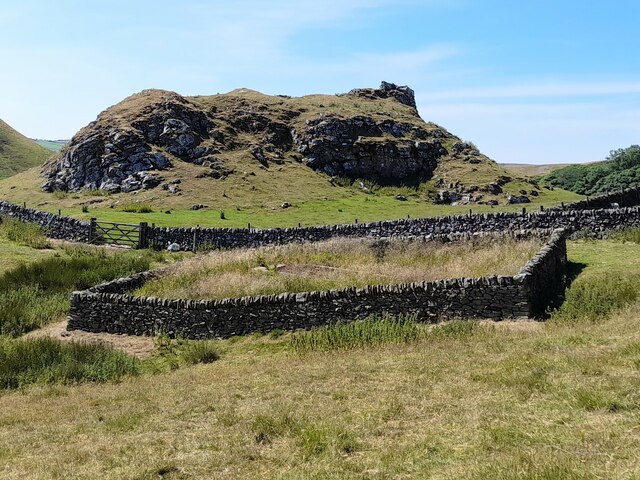
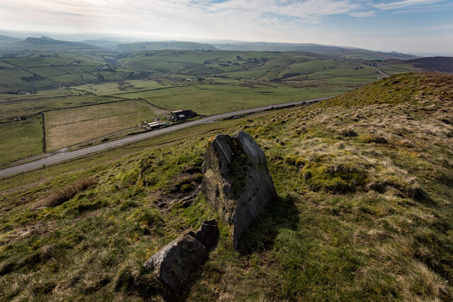
The area is known for its outstanding natural beauty, with an abundance of walking and hiking trails that cater to both leisurely strolls and more challenging hikes. The downs provide an ideal setting for outdoor enthusiasts to explore the countryside and enjoy the fresh air.
Moorland stretches out on the outskirts of the village, offering a unique ecosystem with heather-covered hills and vast expanses of open land. The moors are home to a variety of wildlife, including birds of prey, deer, and rare plant species, making it a haven for nature lovers and wildlife enthusiasts.
Howe Green itself is a small, close-knit community, with a few scattered cottages and a village hall serving as a hub for social gatherings and events. The village exudes a welcoming and friendly ambiance, where residents and visitors can enjoy a sense of tranquility and escape from the hustle and bustle of city life.
In summary, Howe Green in Derbyshire is a charming village surrounded by downs and moorland, offering stunning natural beauty and a peaceful environment. It is a haven for outdoor enthusiasts and nature lovers, with ample opportunities for walking, hiking, and wildlife spotting. The village itself is a close-knit community, providing a warm and welcoming atmosphere for residents and visitors alike.
If you have any feedback on the listing, please let us know in the comments section below.
Howe Green Images
Images are sourced within 2km of 53.210852/-1.9298543 or Grid Reference SK0468. Thanks to Geograph Open Source API. All images are credited.
Howe Green is located at Grid Ref: SK0468 (Lat: 53.210852, Lng: -1.9298543)
Administrative County: Derbyshire
District: High Peak
Police Authority: Derbyshire
What 3 Words
///landed.honeybees.pillows. Near Buxton, Derbyshire
Nearby Locations
Related Wikis

Hollins Hill
Hollins Hill is a gritstone hill in the Derbyshire Peak District near the village of Hollinsclough. The summit is 450 metres (1,480 ft) above sea level...

High Edge
High Edge is a limestone hill overlooking Harpur Hill, Buxton in Derbyshire, in the Peak District. The summit is 472 metres (1,549 ft) above sea level...

Oliver Hill (Peak District)
Oliver Hill is a hill, 513 metres (1,683 ft) high, in the Peak District in the county of Staffordshire in England. It is a treeless summit surrounded by...
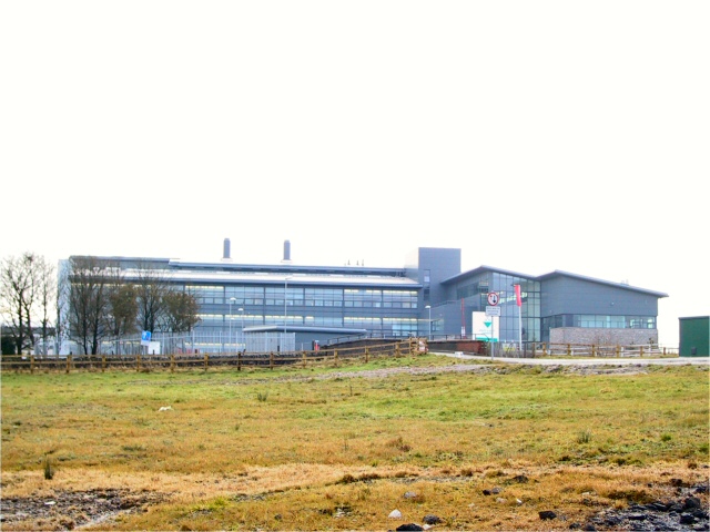
Health and Safety Laboratory
The Health and Safety Laboratory (HSE Laboratory or HSL Buxton) is a large 550-acre research site in rural High Peak, Derbyshire, south of Buxton. It researches...

Quarnford
Quarnford is a village and civil parish in the Staffordshire Moorlands district of Staffordshire, England. According to the 2001 census it had a population...

Chrome Hill
Chrome Hill is a limestone reef knoll in Derbyshire, England, in the upper Dove valley beside the border with Staffordshire, within the civil parish...

Hollinsclough
Hollinsclough is a small rural village in the county of Staffordshire in the English Midlands. It is within the Peak District National Park. == Location... ==

Flash, Staffordshire
Flash is a village in the Staffordshire Moorlands, England, and Peak District National Park. At 1,519 feet (463 m) above sea level, it is the highest village...
Nearby Amenities
Located within 500m of 53.210852,-1.9298543Have you been to Howe Green?
Leave your review of Howe Green below (or comments, questions and feedback).