Leygatehead Moor
Downs, Moorland in Derbyshire High Peak
England
Leygatehead Moor
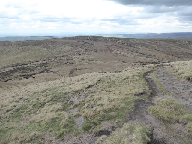
Leygatehead Moor is a picturesque area located in Derbyshire, England. Spanning over acres of land, it is predominantly characterized by its rolling downs and vast moorland. The moor is situated in the Peak District National Park, making it a popular destination for nature lovers and outdoor enthusiasts.
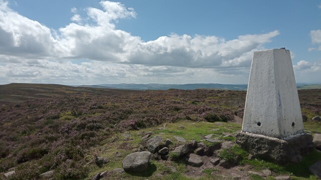
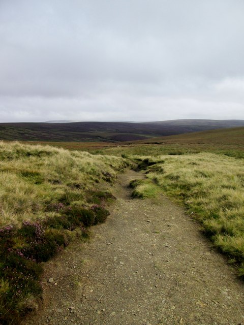
The moorland is covered in a patchwork of heather, bracken, and grasses, creating a stunning landscape that changes with the seasons. During the summer months, the vibrant purple hues of the blooming heather create a panoramic view that attracts visitors from far and wide. In autumn, the moorland transforms into a sea of golden colors as the bracken changes its leaves, providing a breathtaking sight for hikers and photographers.
Leygatehead Moor is home to a diverse range of wildlife, including various species of birds, mammals, and insects. It is a haven for birdwatchers, with sightings of rare species such as the golden plover and the merlin. The moorland also provides a habitat for red grouse, which are known for their distinctive calls during mating season.
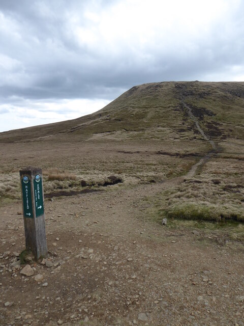
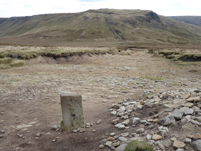
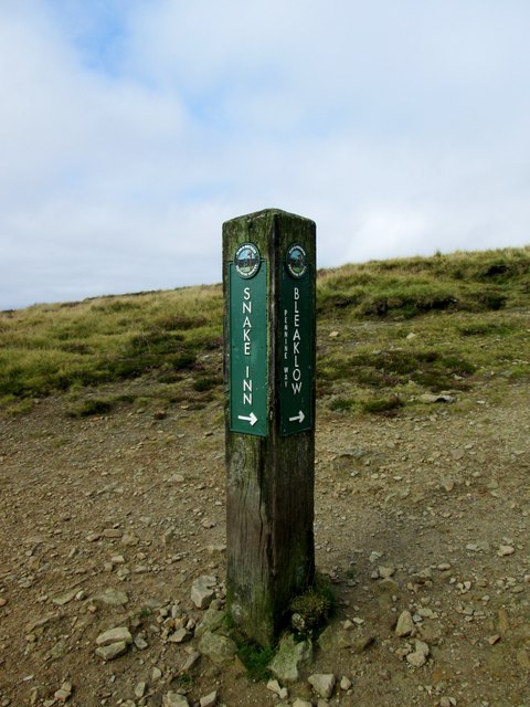
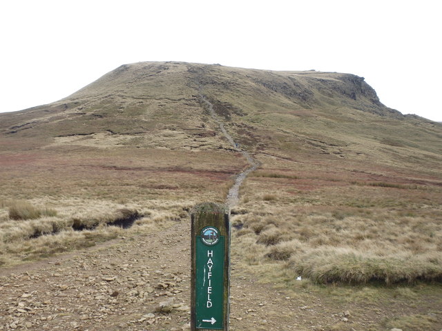
For outdoor enthusiasts, Leygatehead Moor offers an extensive network of walking trails and footpaths, allowing visitors to explore the area at their own pace. The trails meander through the moorland and provide stunning views of the surrounding countryside. The moor is also a popular spot for picnics and family outings, with designated areas for visitors to relax and enjoy the peaceful surroundings.
Overall, Leygatehead Moor is a beautiful and tranquil destination that showcases the natural beauty of Derbyshire. Its diverse flora and fauna, coupled with its stunning landscapes, make it a must-visit location for anyone seeking a peaceful escape in nature.
If you have any feedback on the listing, please let us know in the comments section below.
Leygatehead Moor Images
Images are sourced within 2km of 53.400504/-1.9297094 or Grid Reference SK0489. Thanks to Geograph Open Source API. All images are credited.


Leygatehead Moor is located at Grid Ref: SK0489 (Lat: 53.400504, Lng: -1.9297094)
Administrative County: Derbyshire
District: High Peak
Police Authority: Derbyshire
What 3 Words
///hamster.plastic.flask. Near Hayfield, Derbyshire
Nearby Locations
Related Wikis

Little Hayfield
Little Hayfield is a hamlet in the Peak District National Park, in Derbyshire, England. It lies on the A624 between Hayfield and Glossop. At the centre...

Mill Hill (Derbyshire)
Mill Hill is an open, flat-topped hill, 1,785 feet (544 m) above sea level, in the Peak District in the county of Derbyshire in England. == Location... ==

Abbot's Chair
The Abbot's Chair is the common name of a former monastic cross, the Charlesworth Cross. Only the socket remains of this boundary cross, built by the monks...
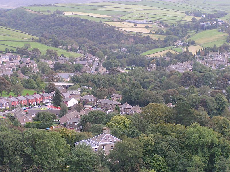
Hayfield, Derbyshire
Hayfield (SK037870) is a village and civil parish in High Peak, Derbyshire, England, with a population of around 2,700. The village is 3 miles (4.8 km...
Nearby Amenities
Located within 500m of 53.400504,-1.9297094Have you been to Leygatehead Moor?
Leave your review of Leygatehead Moor below (or comments, questions and feedback).