Brand Side

Settlement in Derbyshire High Peak

England

Brand Side

View from the Longnor Road To "The Knights Table" inn - by the A53 Buxton/Leek road.
View from the Longnor Road Credit: Neil Theasby

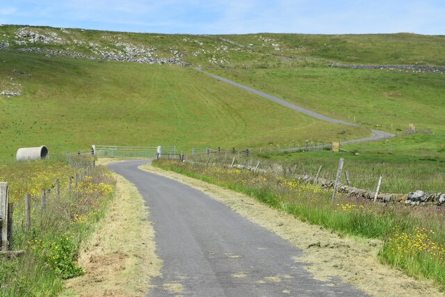
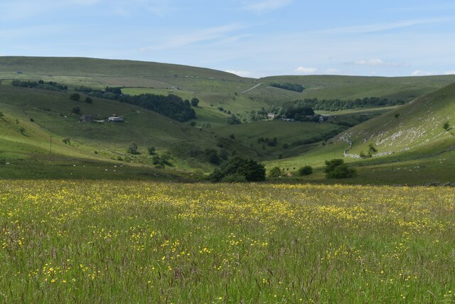
Brand Side is a small village situated in the county of Derbyshire, England. It is located in the Amber Valley district, approximately 7 miles northeast of the town of Belper. The village is nestled within the beautiful countryside of the Derwent Valley, offering picturesque views and a tranquil atmosphere.

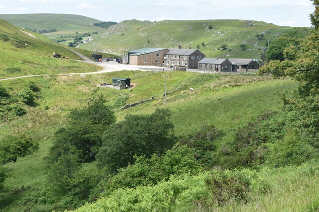
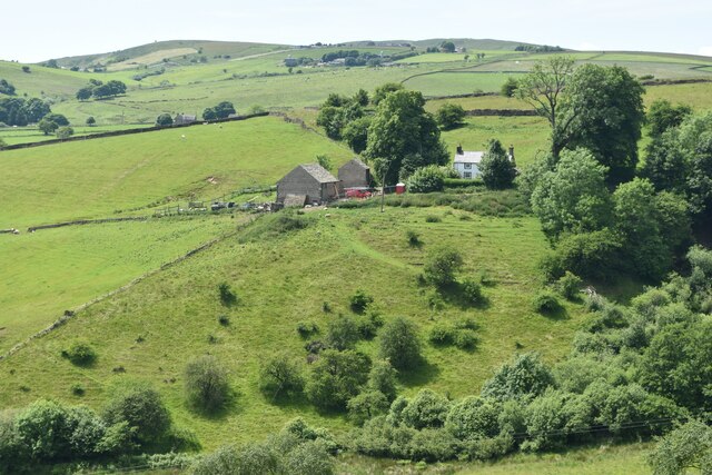
Brand Side is a rural community with a small population, primarily consisting of residential properties and a few local amenities. The village is surrounded by rolling hills, lush green fields, and woodlands, providing ample opportunities for outdoor activities such as walking, hiking, and cycling.

Despite its small size, Brand Side benefits from its proximity to nearby towns and cities. The town of Belper is just a short drive away, offering a wider range of amenities including shops, supermarkets, schools, and healthcare facilities. The city of Derby is also within easy reach, providing further options for shopping, entertainment, and employment.

The village has a rich history, with several historic buildings and landmarks scattered throughout the area. These include the Grade II listed St. Giles Church, which dates back to the 13th century and is a notable example of medieval architecture.

Overall, Brand Side offers a peaceful and idyllic rural lifestyle, ideal for those seeking a quieter pace of life surrounded by natural beauty. Its close proximity to larger towns and cities ensures that residents have access to a wide range of amenities and services.

If you have any feedback on the listing, please let us know in the comments section below.
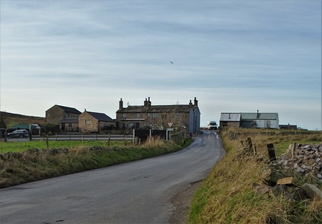
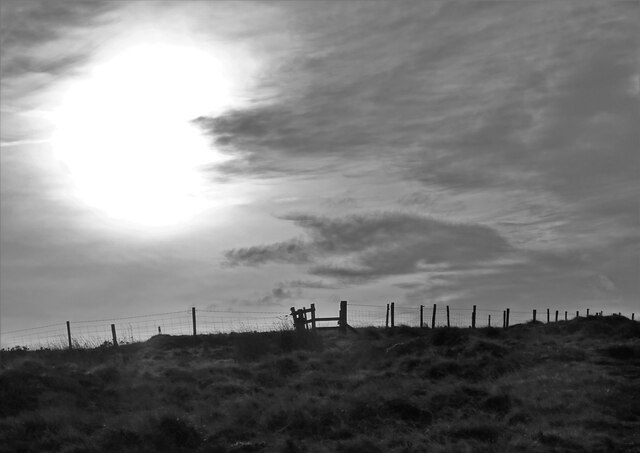
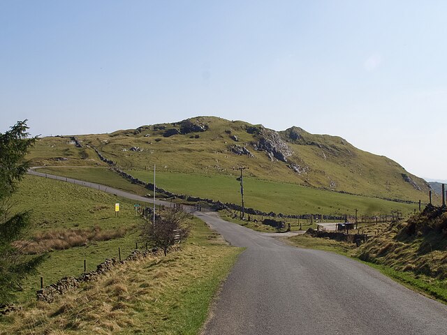
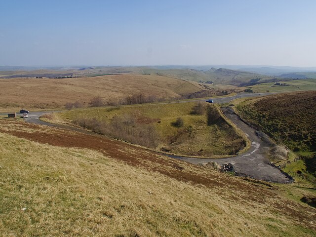
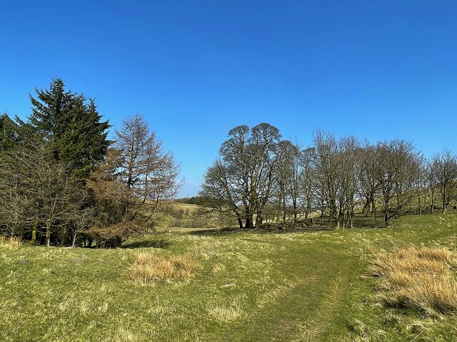
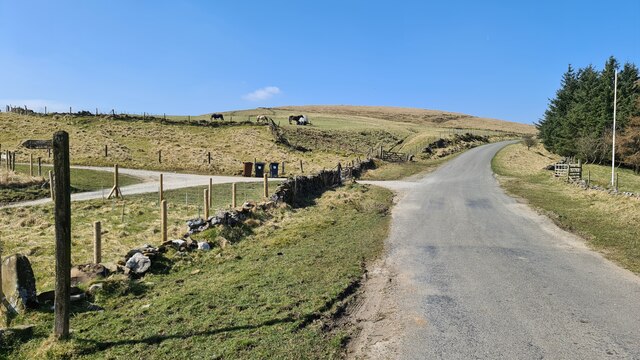
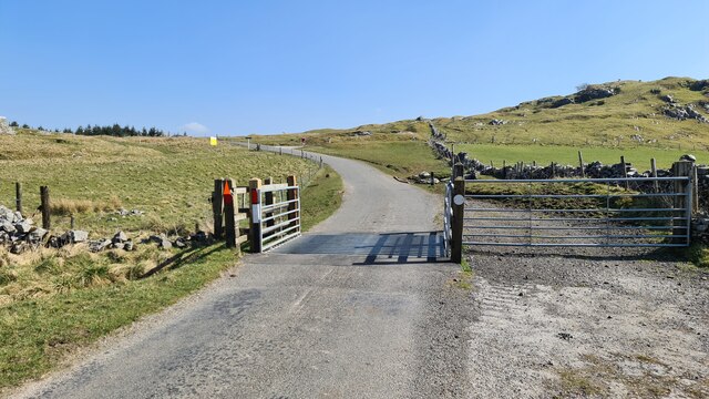
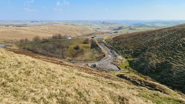
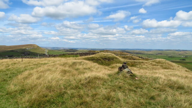
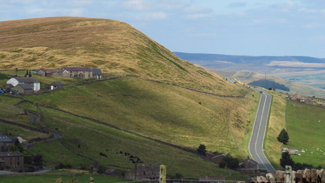
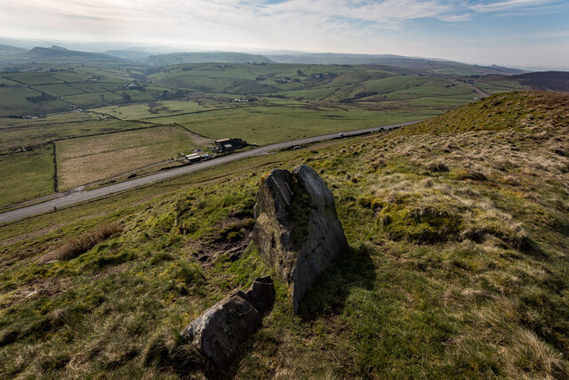
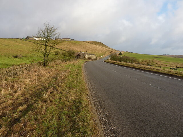
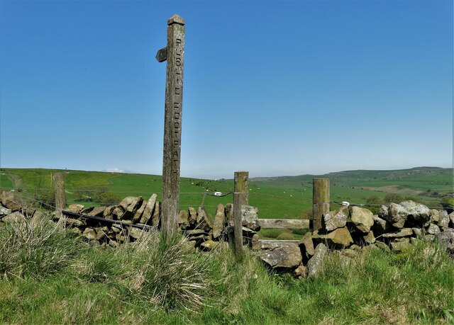
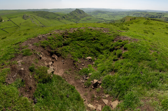
Brand Side Images

Images are sourced within 2km of 53.215548/-1.936885 or Grid Reference SK0468. Thanks to Geograph Open Source API. All images are credited.

View from the Longnor Road To "The Knights Table" inn - by the A53 Buxton/Leek road.
View from the Longnor Road
To "The Knights Table" inn - by the A53 Buxton/Leek road.
On the path to Oliver Hill
Minor road passing Thirkelow Rocks
Overlooking the A53 Leek - Buxton Road Evidence of the road having been straightened here.
Overlooking the A53 Leek - Buxton Road
Evidence of the road having been straightened here.
Footpath through trees On moorland near Turncliffe Common
Footpath through trees
On moorland near Turncliffe Common
Road below Thirkelow Rocks
A53 below Axe Edge
A53 below Axe Edge
Road from Booth Farm
Valley view north of Booth Farm
View towards Booth Farm
Cross-valley view towards Leycote
Oliver Hill summit
Oliver Hill summit
A53 below Axe Edge from Oliver Hill
Axe Edge Summit Looking Down On The A53
Dove Head Farm and the A53 at Axe Edge
Footpath to Sycamore Bank Farm
Tumulus on the Summit of Hollins Hill, Hollinsclough Class TuMp / Ethel  <span class="nowrap"><a title="http://www.hill-bagging.co.uk/mountaindetails.php?qu=S&rf=16505" rel="nofollow ugc noopener" href="http://www.hill-bagging.co.uk/mountaindetails.php?qu=S&rf=16505">Link</a><img style="margin-left:2px;" alt="External link" title="External link - shift click to open in new window" src="https://s1.geograph.org.uk/img/external.png" width="10" height="10"/></span>
Tumulus on the Summit of Hollins Hill, Hollinsclough
Class TuMp / Ethel LinkExternal link
Show me another place!

Brand Side is located at Grid Ref: SK0468 (Lat: 53.215548, Lng: -1.936885)

Administrative County: Derbyshire

District: High Peak

Police Authority: Derbyshire

What 3 Words

///fidelity.ruling.arranged. Near Buxton, Derbyshire

Related Wikis

Axe Edge Moor

Axe Edge Moor is the major moorland southwest of Buxton in the Peak District, England. It is mainly gritstone (Namurian shale and sandstone). Its highest...

Hollins Hill

Hollins Hill is a gritstone hill in the Derbyshire Peak District near the village of Hollinsclough. The summit is 450 metres (1,480 ft) above sea level...

Oliver Hill (Peak District)

Oliver Hill is a hill, 513 metres (1,683 ft) high, in the Peak District in the county of Staffordshire in England. It is a treeless summit surrounded by...

High Edge

High Edge is a limestone hill overlooking Harpur Hill, Buxton in Derbyshire, in the Peak District. The summit is 472 metres (1,549 ft) above sea level...

Nearby Amenities

Located within 500m of 53.215548,-1.936885
Barrier: cattle_grid
Lat/Long: 53.2130408/-1.9309692
Barrier: cattle_grid
Lat/Long: 53.213582/-1.9350357
Telephone
Defibrillator
Booth: K6
Covered: booth
Defibrillator Location: inside old red phone box
Emergency: defibrillator
Man Made: telephone_box
Lat/Long: 53.2141421/-1.9362297
Barrier: stile
Material: wood
Source: survey;gps
Stile: stepover
Lat/Long: 53.2144986/-1.9361312
Post Box
Collection Times: Mo-Fr 09:00; Sa 08:00
Post Box Type: lamp
Ref: SK17 131
Royal Cypher: EIIR
Royal Cypher Wikidata: Q33102113
Lat/Long: 53.214472/-1.9362583
Barrier: stile
Material: stone
Source: survey;gps
Stile: squeezer
Lat/Long: 53.2166605/-1.9378578
Barrier: stile
Material: stone
Source: survey;gps
Stile: stepover
Lat/Long: 53.2131907/-1.943201
Barrier: stile
Material: stone
Source: survey;gps
Stile: stepover
Lat/Long: 53.2140705/-1.9430489
Barrier: stile
Material: stone
Source: survey;gps
Stile: squeezer
Lat/Long: 53.214663/-1.9431409
Barrier: stile
Material: stone
Source: survey;gps
Stile: stepover
Lat/Long: 53.2158548/-1.9435434
Barrier: stile
Material: stone
Source: survey;gps
Stile: squeezer
Lat/Long: 53.2129675/-1.931091
Barrier: stile
Material: stone
Source: survey;gps
Stile: squeezer
Lat/Long: 53.213525/-1.9338328
Barrier: stile
Material: wood
Source: survey;gps
Stile: stepover
Lat/Long: 53.214823/-1.9353537
Barrier: stile
Material: wood
Source: survey;gps
Stile: stepover
Lat/Long: 53.2148263/-1.9352759
Barrier: stile
Material: wood
Source: survey;gps
Stile: stepover
Lat/Long: 53.2148264/-1.9304789
Barrier: stile
Material: wood
Source: survey;gps
Stile: stepover
Lat/Long: 53.215006/-1.9298496
Barrier: stile
Material: wood
Source: survey;gps
Stile: stepover
Lat/Long: 53.2165805/-1.9325989
Barrier: stile
Material: stone
Source: survey;gps
Stile: stepover
Lat/Long: 53.2167073/-1.9361928
Barrier: stile
Material: wood
Source: survey;gps
Stile: stepover
Lat/Long: 53.2169727/-1.937173
Barrier: stile
Material: wood
Source: survey;gps
Stile: stepover
Lat/Long: 53.2174253/-1.9365804
Barrier: stile
Material: stone
Source: survey;gps
Stile: squeezer
Lat/Long: 53.2175524/-1.9318668
Barrier: stile
Material: wood
Source: survey;gps
Stile: stepover
Lat/Long: 53.217818/-1.9318368
Barrier: stile
Material: wood
Source: survey;gps
Stile: stepover
Lat/Long: 53.2182242/-1.9330508
Barrier: stile
Material: wood
Source: survey;gps
Stile: stepover
Lat/Long: 53.2166582/-1.9304095
Barrier: stile
Material: wood
Source: survey;gps
Stile: stepover
Lat/Long: 53.2176243/-1.9357709
Barrier: stile
Material: wood
Source: survey;gps
Stile: stepover
Lat/Long: 53.2177186/-1.9362906
Barrier: stile
Material: wood
Source: survey;gps
Stile: stepover
Lat/Long: 53.2177412/-1.9340285
Barrier: stile
Material: wood
Source: survey;gps
Stile: stepover
Lat/Long: 53.2129231/-1.9413411
Barrier: stile
Material: stone
Source: survey;gps
Stile: squeezer
Lat/Long: 53.2129244/-1.9360025
Barrier: stile
Material: stone
Source: survey;gps
Stile: squeezer
Lat/Long: 53.2138511/-1.9376563
Barrier: stile
Material: wood
Source: survey;gps
Stile: stepover
Lat/Long: 53.2191326/-1.9371141
Barrier: stile
Material: stone
Source: survey;gps
Stile: squeezer
Lat/Long: 53.2191901/-1.9383563
Historic: memorial
Lat/Long: 53.2137578/-1.9358324
Barrier: stile
Material: wood
Source: survey;gps
Stile: squeezer
Lat/Long: 53.2138329/-1.9302479
The data included in this document is from www.openstreetmap.org. The data is made available under ODbL.

Have you been to Brand Side?

Leave your review of Brand Side below (or comments, questions and feedback).