Spinks Hill Flat
Downs, Moorland in Yorkshire
England
Spinks Hill Flat

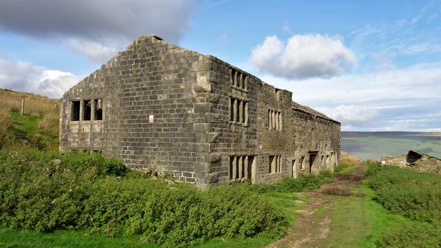
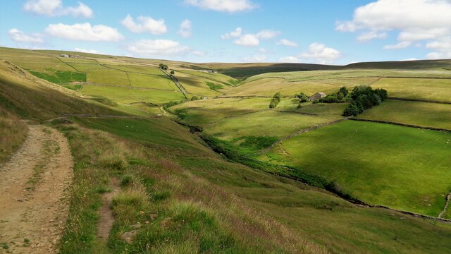
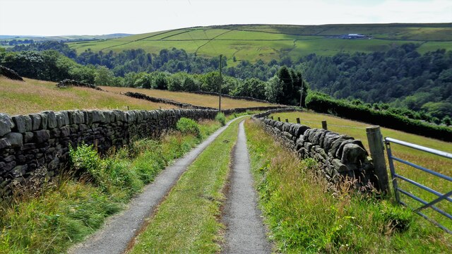
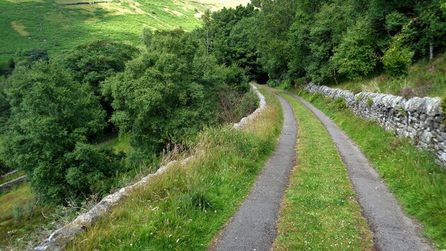
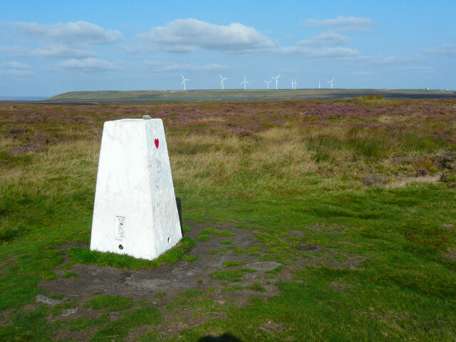
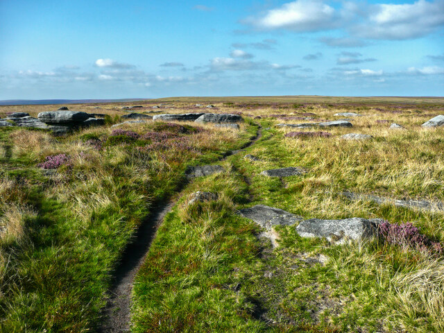
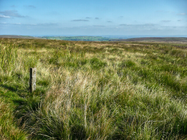
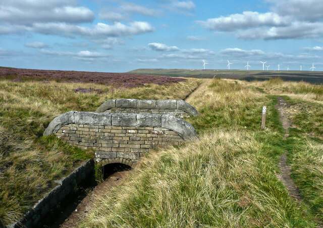
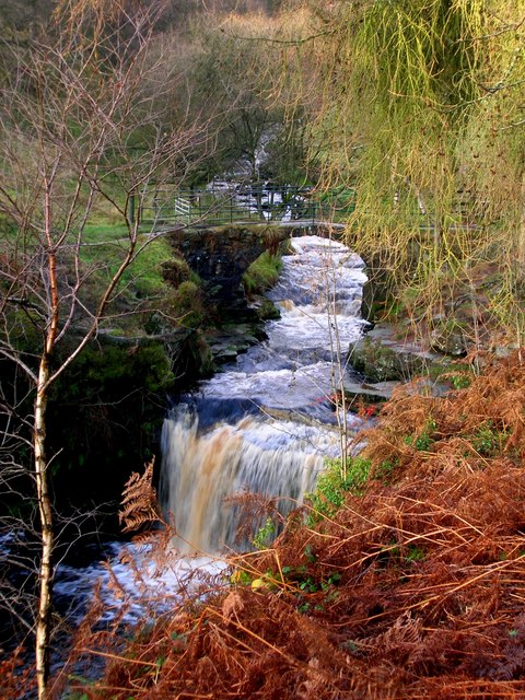
Spinks Hill Flat, located in Yorkshire, England, is a picturesque area encompassing a diverse landscape consisting of downs, moorland, and sprawling meadows. Situated in the heart of the Yorkshire Dales, this flat boasts stunning views and is a haven for nature enthusiasts and outdoor enthusiasts alike.
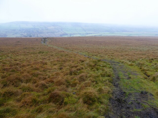
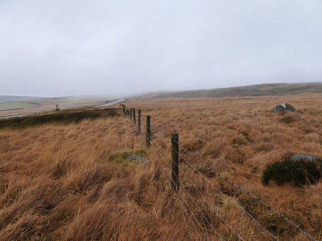
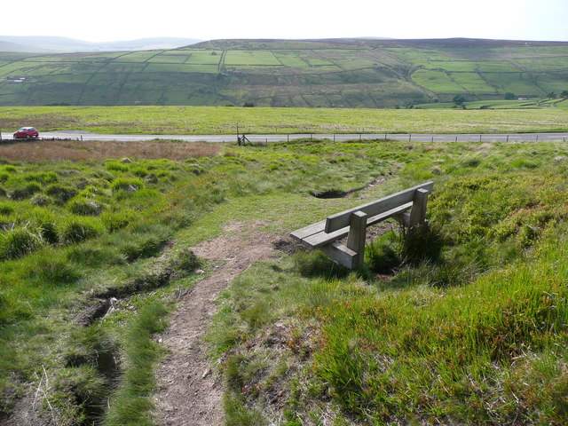
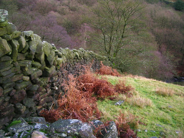
The terrain of Spinks Hill Flat is characterized by gently rolling hills covered in vibrant green grass, which provide a serene backdrop for visitors. The downs, with their open and undulating slopes, offer ample opportunities for leisurely walks and picnics, providing a perfect setting to unwind and appreciate the beauty of the surrounding countryside.
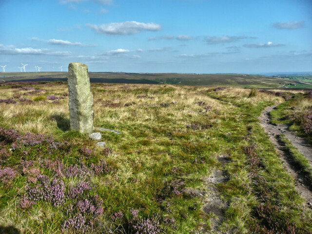
Moving towards the moorland, visitors are greeted by vast stretches of heather-covered hills, creating a mesmerizing purple carpet during the blooming season. The moorland is home to an abundance of wildlife, including red grouse, curlews, and various species of birds. It offers an excellent opportunity for birdwatchers, who can witness the graceful flight patterns and unique calls of these avian inhabitants.
In addition to its natural beauty, Spinks Hill Flat also boasts historical significance. The area is dotted with ancient stone circles and burial mounds, providing a glimpse into the rich cultural heritage of the region. For history enthusiasts, exploring these prehistoric remnants offers a fascinating insight into the lives of the people who once inhabited this area.
Overall, Spinks Hill Flat is a captivating destination that combines natural splendor, historical intrigue, and a sense of tranquility. Whether one seeks to immerse themselves in the beauty of nature, observe wildlife, or delve into the past, this flat in Yorkshire offers a truly enriching experience for all who visit.
If you have any feedback on the listing, please let us know in the comments section below.
Spinks Hill Flat Images
Images are sourced within 2km of 53.772217/-1.9987794 or Grid Reference SE0030. Thanks to Geograph Open Source API. All images are credited.


Spinks Hill Flat is located at Grid Ref: SE0030 (Lat: 53.772217, Lng: -1.9987794)
Division: West Riding
Unitary Authority: Calderdale
Police Authority: West Yorkshire
What 3 Words
///quilting.soothing.stick. Near Hebden Bridge, West Yorkshire
Nearby Locations
Related Wikis

Wainsgate Baptist Church
Wainsgate Baptist Church is a redundant chapel standing in an elevated position above the town of Hebden Bridge, West Yorkshire, England (grid reference...

Chiserley
Chiserley is a hamlet located on a hilltop near the town of Hebden Bridge, in the county of West Yorkshire, England. The Hamlet falls within the Calder...

Old Town, West Yorkshire
Old Town is a village in Calderdale, West Yorkshire, England. It is situated on a hilltop above Hebden Bridge and across the Hebden valley from Heptonstall...

Wadsworth, West Yorkshire
Wadsworth is a civil parish in the Metropolitan Borough of Calderdale in West Yorkshire, England. It has a population of 1,456, increasing to 1,603 at...

Hardcastle Crags
Hardcastle Crags is a wooded Pennine valley in West Yorkshire, England, owned by the National Trust. Historically part of the West Riding of Yorkshire...
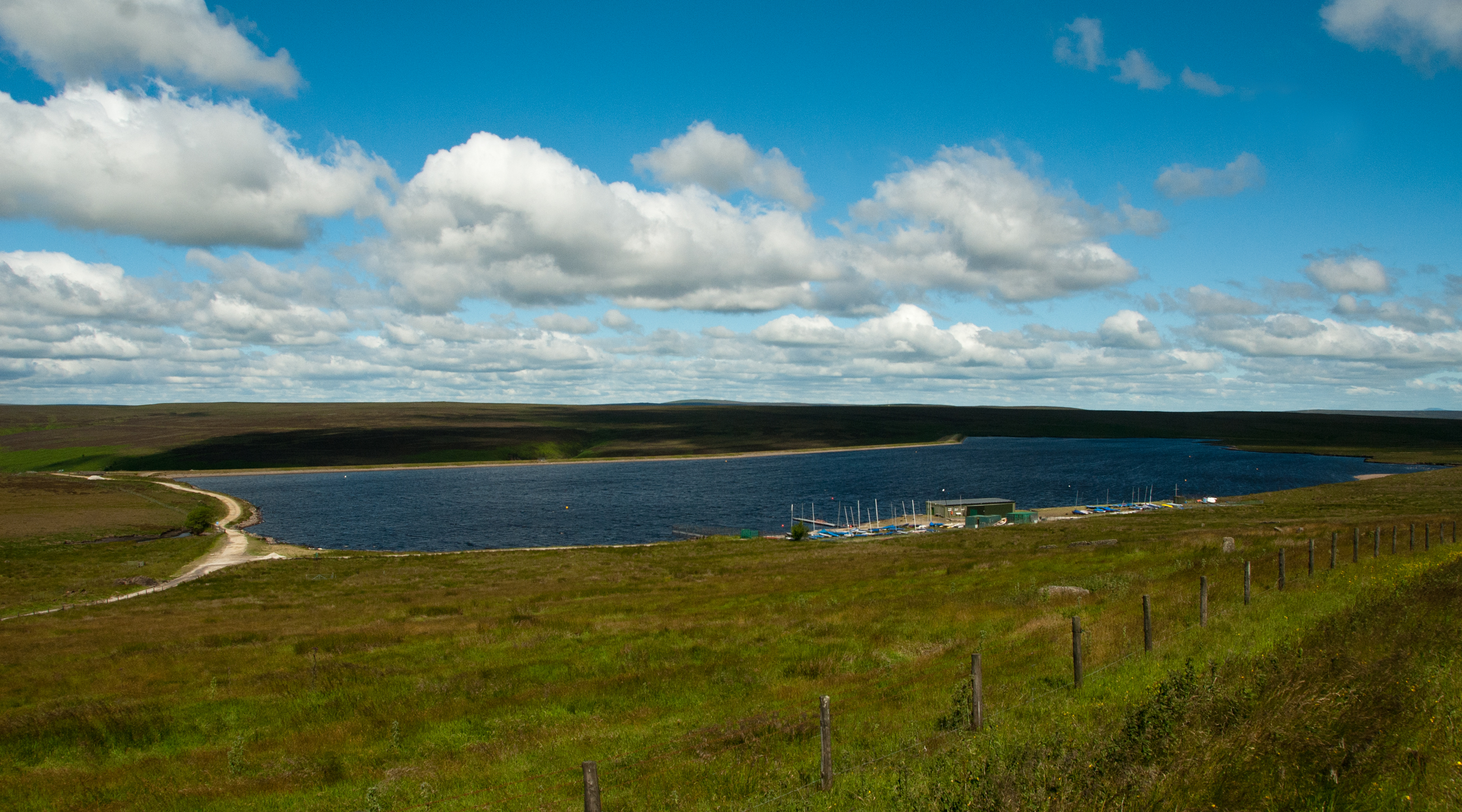
Warley Moor Reservoir
Warley Moor Reservoir, also known as Fly Flatts Reservoir, is a drinking water reservoir in West Yorkshire, England, owned and operated by Yorkshire Water...

Hepton Rural District
Hepton was a rural district in the West Riding of Yorkshire, England, from 1894 to 1974. The district included four civil parishes: Heptonstall, Blackshaw...

Birchcliffe Baptist Church
Birchcliffe Baptist Church is a redundant Baptist chapel in the town of Hebden Bridge, West Yorkshire, England. It was founded by Daniel Taylor in 1764...
Nearby Amenities
Located within 500m of 53.772217,-1.9987794Have you been to Spinks Hill Flat?
Leave your review of Spinks Hill Flat below (or comments, questions and feedback).