Woodgate Valley Country Park
Downs, Moorland in Worcestershire
England
Woodgate Valley Country Park

Woodgate Valley Country Park is a picturesque green space located in Worcestershire, England. Covering an area of approximately 450 acres, this park offers a diverse range of habitats including woodlands, grasslands, ponds, and meadows. It is situated on the western outskirts of Birmingham, making it easily accessible to both locals and visitors.
The park is characterized by its gently rolling landscape, with the Woodgate Valley forming the central feature. It is surrounded by the Clent and Lickey Hills, which add to its natural beauty and provide panoramic views of the Worcestershire countryside. The valley itself is home to a variety of wildlife, including numerous bird species, foxes, rabbits, and squirrels.
Woodgate Valley Country Park offers a range of activities for visitors of all ages. There are several walking trails that wind through the park, allowing visitors to explore its diverse ecosystems. The park also features a network of cycling paths, making it a popular destination for cyclists. Additionally, there are designated areas for picnicking, making it an ideal spot for families and friends to enjoy a day out in nature.
The park is managed by the Worcestershire County Council, which ensures that it is well-maintained and provides a safe environment for visitors. The visitor center, located at the entrance of the park, offers information about the park's history, wildlife, and facilities.
Overall, Woodgate Valley Country Park is a tranquil and scenic green space that offers a peaceful retreat from the hustle and bustle of city life. Its diverse habitats and range of activities make it a popular destination for nature enthusiasts and outdoor enthusiasts alike.
If you have any feedback on the listing, please let us know in the comments section below.
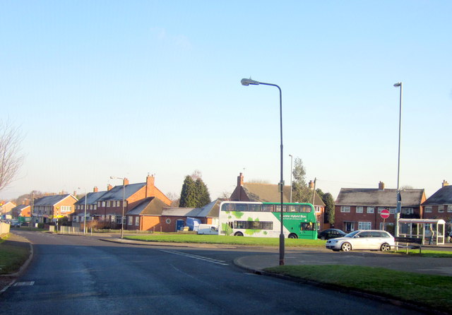
Woodgate Valley Country Park Images
Images are sourced within 2km of 52.439112/-1.9989116 or Grid Reference SP0082. Thanks to Geograph Open Source API. All images are credited.


Woodgate Valley Country Park is located at Grid Ref: SP0082 (Lat: 52.439112, Lng: -1.9989116)
Unitary Authority: Birmingham
Police Authority: West Midlands
What 3 Words
///hurls.rift.bunny. Near Bartley Green, West Midlands
Nearby Locations
Related Wikis
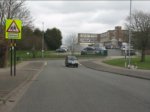
Bartley Green School
Bartley Green School is an academy with Technology and Sports College status for pupils aged 11–16 in the Bartley Green area of Birmingham, England.The...

St Michael and All Angels' Church, Bartley Green
St. Michael and All Angels' Church, Bartley Green is a parish church in the Church of England located in Bartley Green, Birmingham. == History == St. Michael...
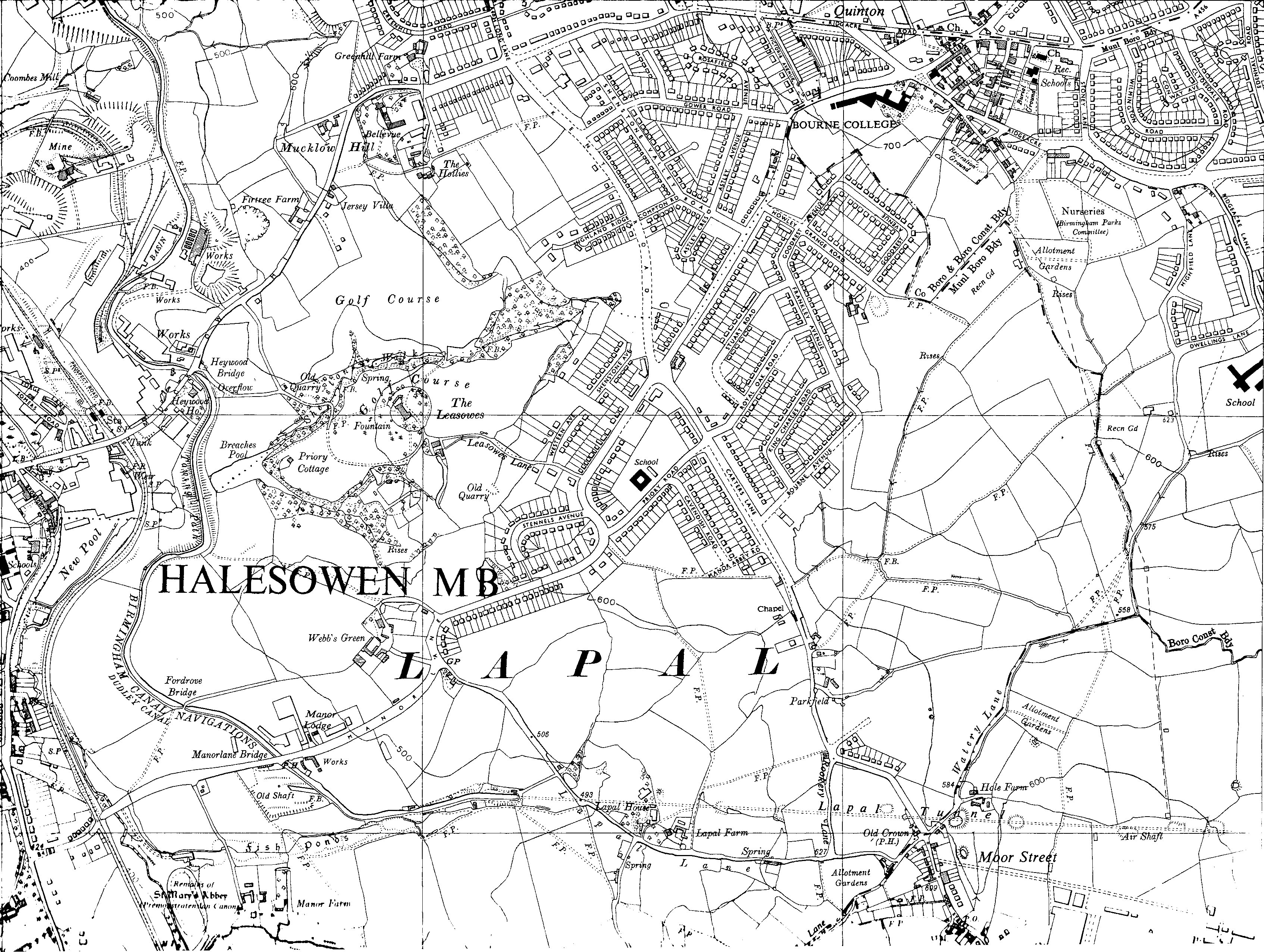
Lapal Tunnel
The Lapal Tunnel (old spelling Lappal Tunnel) is a disused 3,795-yard (3,470 m) canal tunnel on the five mile dry section of the Dudley No. 2 Canal in...

Woodgate, Birmingham
Woodgate is part of Birmingham, between Bartley Green and Harborne. It is split up into 3 parts, Woodgate Valley South (also known as South Woodgate),...
Nearby Amenities
Located within 500m of 52.439112,-1.9989116Have you been to Woodgate Valley Country Park?
Leave your review of Woodgate Valley Country Park below (or comments, questions and feedback).