Naze Hill
Hill, Mountain in Yorkshire
England
Naze Hill

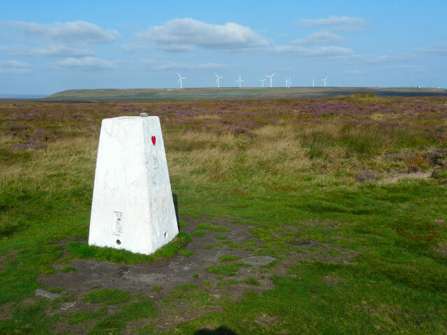
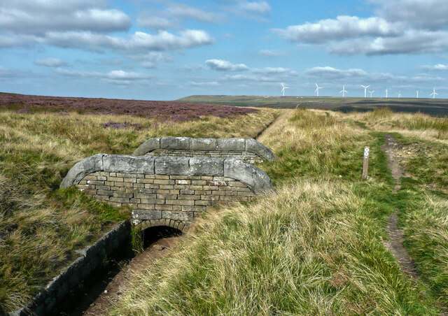
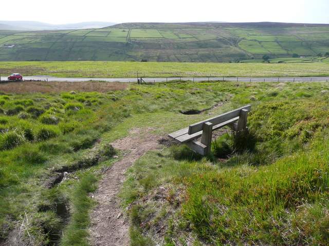
Naze Hill is a prominent landmark located in the county of Yorkshire, England. Situated near the village of Danby, it is part of the North York Moors National Park, renowned for its stunning natural beauty and diverse wildlife. Rising to an elevation of approximately 978 feet (298 meters), Naze Hill is often referred to as a hill rather than a mountain due to its relatively modest height.
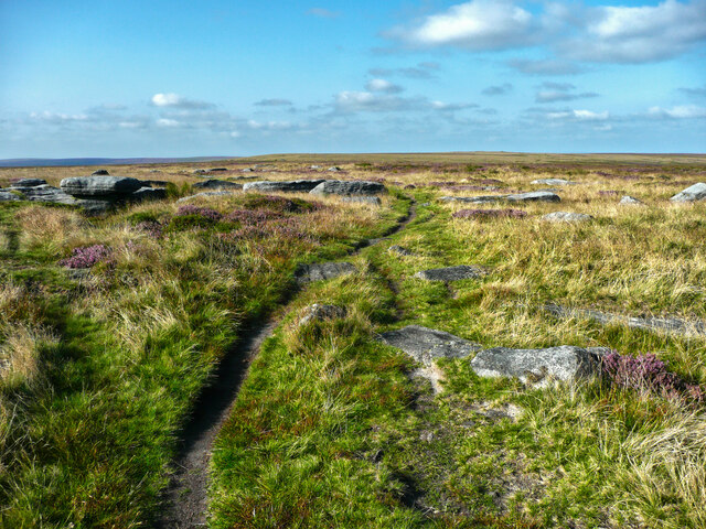
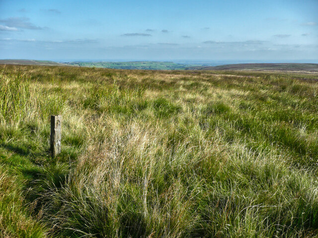
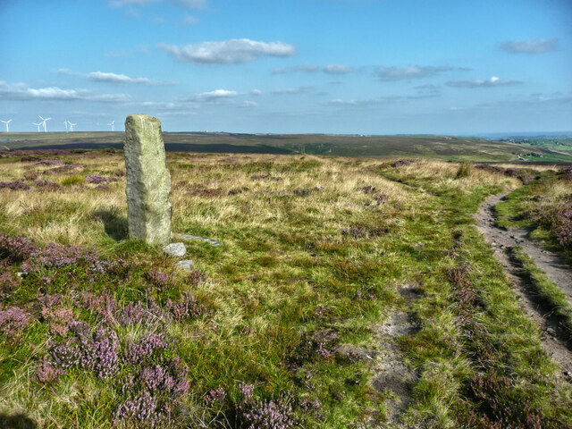
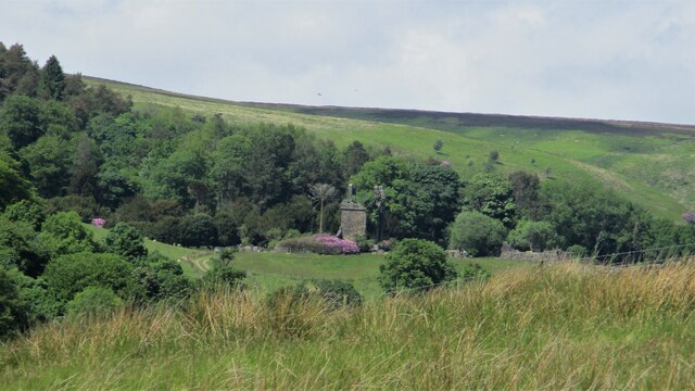
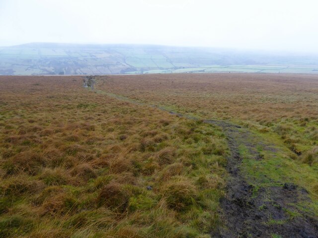
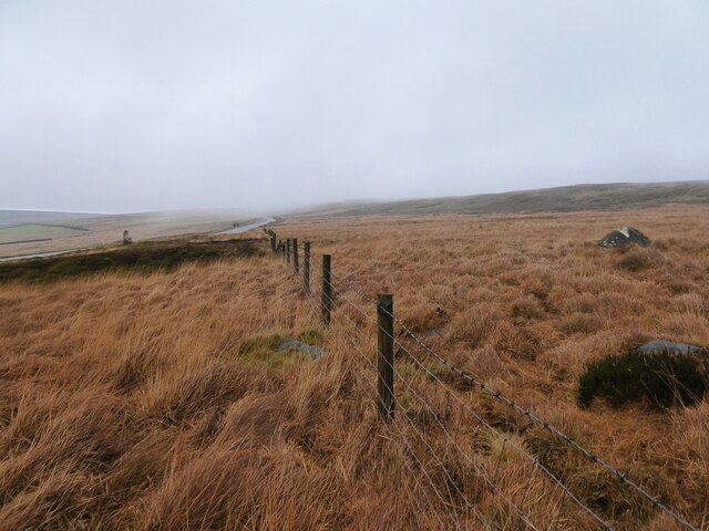
The hill is characterized by its distinctive conical shape and is comprised mainly of sandstone, which gives it a reddish hue. Its slopes are covered with heather and grasses, creating a picturesque landscape that attracts hikers, nature enthusiasts, and photographers alike. The summit offers breathtaking panoramic views of the surrounding countryside, including the Danby Dale and Esk Valley.
Naze Hill is also home to a variety of plant and animal species, including birds such as the red grouse and curlew, as well as rare flora like the heath spotted orchid. The area is protected under conservation laws, ensuring the preservation of its unique ecosystem.
The hill is easily accessible via footpaths and can be reached from the nearby village of Danby. It is a popular destination for outdoor activities such as walking, hiking, and birdwatching. Visitors can explore the hill's trails and enjoy the tranquility of the surrounding moorland, making it an ideal spot for those seeking a peaceful escape in the heart of Yorkshire's natural beauty.
If you have any feedback on the listing, please let us know in the comments section below.
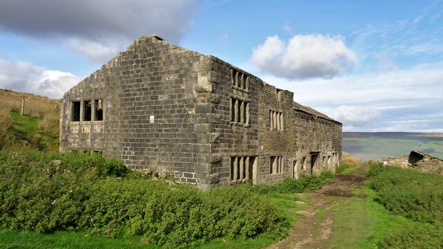
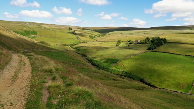
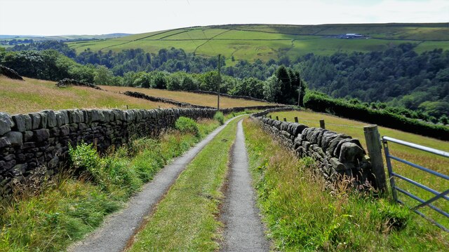
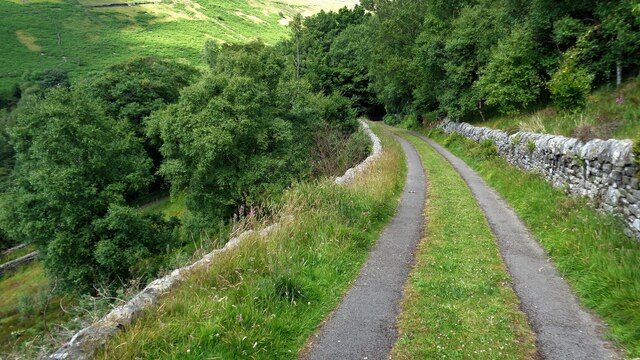
Naze Hill Images
Images are sourced within 2km of 53.774599/-1.9944702 or Grid Reference SE0030. Thanks to Geograph Open Source API. All images are credited.


Naze Hill is located at Grid Ref: SE0030 (Lat: 53.774599, Lng: -1.9944702)
Division: West Riding
Unitary Authority: Calderdale
Police Authority: West Yorkshire
What 3 Words
///term.tumblers.palaces. Near Hebden Bridge, West Yorkshire
Nearby Locations
Related Wikis

Wainsgate Baptist Church
Wainsgate Baptist Church is a redundant chapel standing in an elevated position above the town of Hebden Bridge, West Yorkshire, England (grid reference...

Chiserley
Chiserley is a hamlet located on a hilltop near the town of Hebden Bridge, in the county of West Yorkshire, England. The Hamlet falls within the Calder...

Old Town, West Yorkshire
Old Town is a village in Calderdale, West Yorkshire, England. It is situated on a hilltop above Hebden Bridge and across the Hebden valley from Heptonstall...
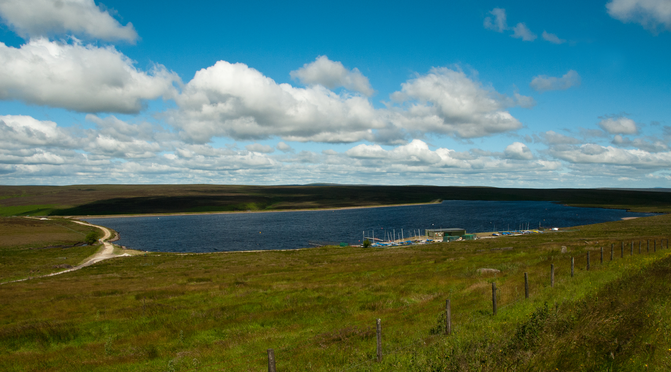
Warley Moor Reservoir
Warley Moor Reservoir, also known as Fly Flatts Reservoir, is a drinking water reservoir in West Yorkshire, England, owned and operated by Yorkshire Water...

Wadsworth, West Yorkshire
Wadsworth is a civil parish in the Metropolitan Borough of Calderdale in West Yorkshire, England. It has a population of 1,456, increasing to 1,603 at...

Hardcastle Crags
Hardcastle Crags is a wooded Pennine valley in West Yorkshire, England, owned by the National Trust. Historically part of the West Riding of Yorkshire...

Hepton Rural District
Hepton was a rural district in the West Riding of Yorkshire, England, from 1894 to 1974. The district included four civil parishes: Heptonstall, Blackshaw...

Birchcliffe Baptist Church
Birchcliffe Baptist Church is a redundant Baptist chapel in the town of Hebden Bridge, West Yorkshire, England. It was founded by Daniel Taylor in 1764...
Nearby Amenities
Located within 500m of 53.774599,-1.9944702Have you been to Naze Hill?
Leave your review of Naze Hill below (or comments, questions and feedback).