Lord's Wood

Downs, Moorland in Staffordshire South Staffordshire

England

Lord's Wood

Canal basin north of Penkridge in Staffordshire In 2011 this was still the base for the Teddesley Boat Company, by Park Gate Lock on the Staffordshire and Worcestershire Canal. Katrina is an example of one of their smart hire fleet.
Canal basin north of Penkridge in Staffordshire Credit: Roger Kidd

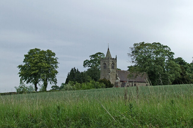
Lord's Wood is a picturesque woodland located in Staffordshire, England. Situated in the midst of the Downs and Moorland region, it covers an area of approximately 100 acres. The woodland is known for its diverse range of flora and fauna, making it a popular destination for nature enthusiasts and hikers alike.

The dense canopy of Lord's Wood is predominantly composed of oak, beech, and birch trees, creating a serene and tranquil environment. The forest floor is covered in a lush carpet of ferns, mosses, and wildflowers, adding to the natural beauty of the area. The wood is also home to a variety of wildlife, including deer, foxes, rabbits, and a wide array of bird species.

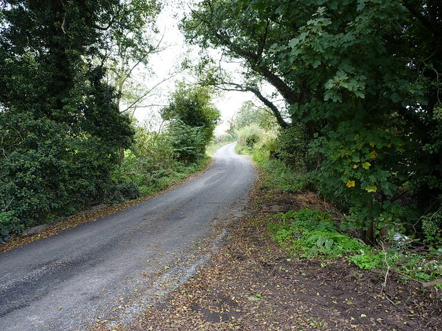
Several well-maintained trails wind their way through the woodland, providing visitors with the opportunity to explore and appreciate the natural wonders of Lord's Wood. These paths are suitable for all levels of hikers and offer breathtaking views of the surrounding countryside.

Lord's Wood is not only a haven for wildlife and walkers, but it also holds historical significance. The wood has remnants of ancient structures, such as old stone walls and ruins, which are believed to date back to medieval times. These remnants serve as a reminder of the rich history and heritage of the area.

Overall, Lord's Wood in Staffordshire is a cherished natural gem, offering a tranquil escape from the hustle and bustle of everyday life. With its diverse ecosystem, scenic trails, and historical significance, it is a must-visit destination for nature lovers and history enthusiasts alike.

If you have any feedback on the listing, please let us know in the comments section below.
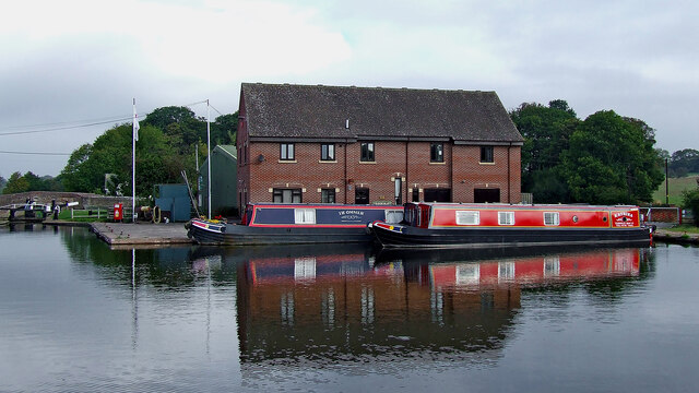
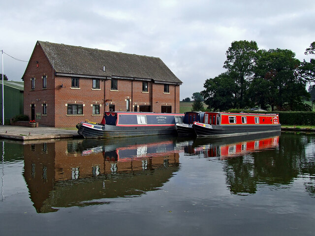
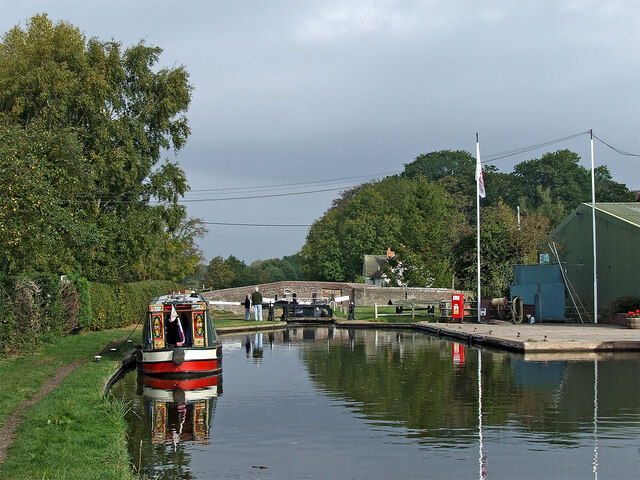
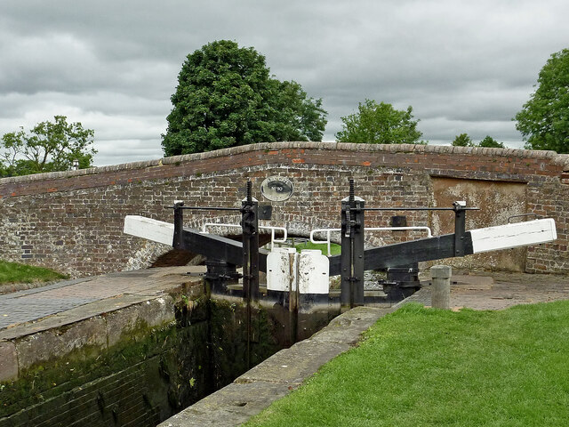
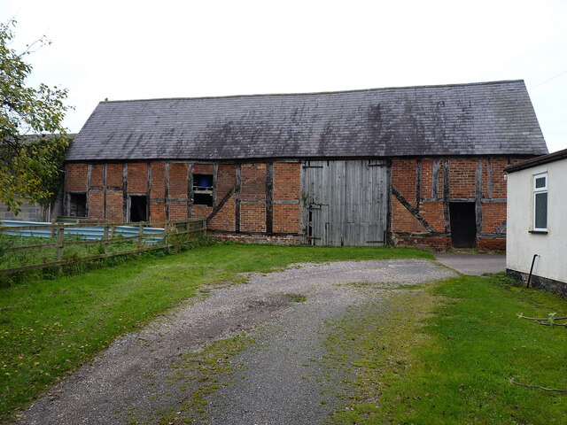
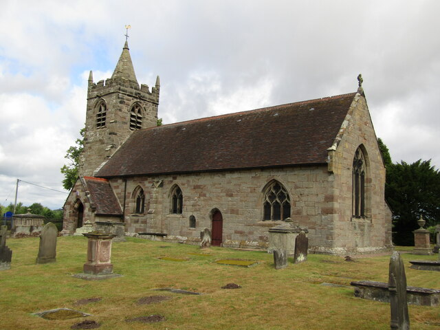
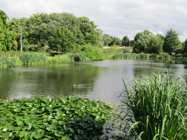
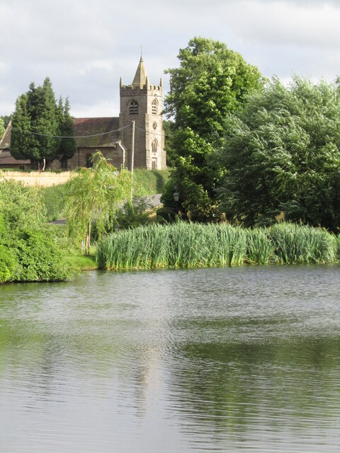
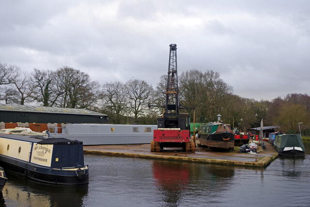
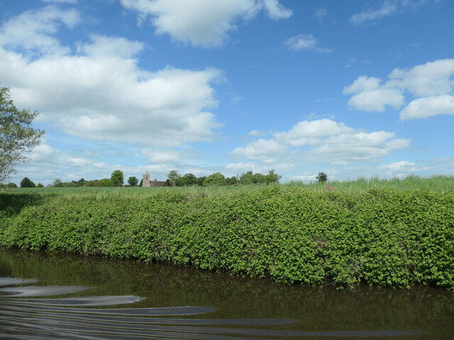
Lord's Wood Images

Images are sourced within 2km of 52.748888/-2.0694231 or Grid Reference SJ9516. Thanks to Geograph Open Source API. All images are credited.

Canal basin north of Penkridge in Staffordshire In 2011 this was still the base for the Teddesley Boat Company, by Park Gate Lock on the Staffordshire and Worcestershire Canal. Katrina is an example of one of their smart hire fleet.
Canal basin north of Penkridge in Staffordshire
In 2011 this was still the base for the Teddesley Boat Company, by Park Gate Lock on the Staffordshire and Worcestershire Canal. Katrina is an example of one of their smart hire fleet.
Narrowboats north of Penkridge in Staffordshire In 2011 this was still the base for the Teddesley Boat Company, by Park Gate Lock on the Staffordshire and Worcestershire Canal. Katrina is an example of one of their smart hire fleet.
Narrowboats north of Penkridge in Staffordshire
In 2011 this was still the base for the Teddesley Boat Company, by Park Gate Lock on the Staffordshire and Worcestershire Canal. Katrina is an example of one of their smart hire fleet.
Park Gate Lock north of Penkridge in Staffordshire Park Gate Lock is No 40 on the Staffordshire and Worcestershire Canal west of Teddesley Park. The green building contains the very useful Midland Chandlers.
Park Gate Lock north of Penkridge in Staffordshire
Park Gate Lock is No 40 on the Staffordshire and Worcestershire Canal west of Teddesley Park. The green building contains the very useful Midland Chandlers.
Park Gate Lock and Bridge near Penkridge, Staffordshire Park Gate Bridge is No 90 across the Staffordshire and Worcestershire Canal, and now allows access to the Midland Chandlers warehouse, Park Gate Lockhouse and the (now former) Teddesley Boat Compaany wharf.

Note the two gate paddle ratchets (between the bridge plate) are both up so the lock is being drained to allow a south bound boat to enter.
Park Gate Lock and Bridge near Penkridge, Staffordshire
Park Gate Bridge is No 90 across the Staffordshire and Worcestershire Canal, and now allows access to the Midland Chandlers warehouse, Park Gate Lockhouse and the (now former) Teddesley Boat Compaany wharf. Note the two gate paddle ratchets (between the bridge plate) are both up so the lock is being drained to allow a south bound boat to enter.
Across the fields to church No, it's not a route, just a view from the Staffordshire and Worcestershire Canal, looking north-east towards the Church of St James in Acton Trussell.
Across the fields to church
No, it's not a route, just a view from the Staffordshire and Worcestershire Canal, looking north-east towards the Church of St James in Acton Trussell.
Narrow lane east of Acton Trussell The fly-tipped furniture <a href="https://www.geograph.org.uk/photo/2805943">SJ9418 : Discarded furniture by a country lane</a> that was here on Acton Hall Lane some years ago has been removed.
Narrow lane east of Acton Trussell
The fly-tipped furniture SJ9418 : Discarded furniture by a country lane that was here on Acton Hall Lane some years ago has been removed.
Some people clearly can't read Or they genuinely do not give a monkey's about anyone else, or the state of the countryside around them. This sort of inexcusable behaviour warrants the return of capital punishment, in my book.
Some people clearly can't read
Or they genuinely do not give a monkey's about anyone else, or the state of the countryside around them. This sort of inexcusable behaviour warrants the return of capital punishment, in my book.
Field and hedgerow near Acton Hall Lane
Timber-framed barn at Lower Farm Described in its 1986 Grade II listing <span class="nowrap"><a title="https://britishlistedbuildings.co.uk/101039249-barn-incorporating-cowhouse-approximately-5-yards-north-of-lower-farmhouse-acton-trussell-and-bednall#.Ymo90drMI2w" rel="nofollow ugc noopener" href="https://britishlistedbuildings.co.uk/101039249-barn-incorporating-cowhouse-approximately-5-yards-north-of-lower-farmhouse-acton-trussell-and-bednall#.Ymo90drMI2w">Link</a><img style="margin-left:2px;" alt="External link" title="External link - shift click to open in new window" src="https://s1.geograph.org.uk/img/external.png" width="10" height="10"/></span> & <span class="nowrap"><a title="https://historicengland.org.uk/listing/the-list/list-entry/1039249" rel="nofollow ugc noopener" href="https://historicengland.org.uk/listing/the-list/list-entry/1039249">Link</a><img style="margin-left:2px;" alt="External link" title="External link - shift click to open in new window" src="https://s1.geograph.org.uk/img/external.png" width="10" height="10"/></span> as "Early 18th century", this building is still in agricultural use. It has a cowhouse at the left end, and a threshing room to the right of the full-height doorway.
Timber-framed barn at Lower Farm
Described in its 1986 Grade II listing LinkExternal link & LinkExternal link as "Early 18th century", this building is still in agricultural use. It has a cowhouse at the left end, and a threshing room to the right of the full-height doorway.
Acton Trussell - Parish Church St James Church dates from ca 1300 and lies south of the village Acton Trussell. Note the dinky spire on the low tower.
Acton Trussell - Parish Church
St James Church dates from ca 1300 and lies south of the village Acton Trussell. Note the dinky spire on the low tower.
South Staffordshire - Historic Churches Trail Small waymarker outside medieval St James Church in Acton Trussell. Despite the plaque the church is not always open to visitors.
South Staffordshire - Historic Churches Trail
Small waymarker outside medieval St James Church in Acton Trussell. Despite the plaque the church is not always open to visitors.
Acton Trussel - Moat One of the remaining sections of moat surrounding The Moat House, now an upmarket hotel.
<span class="nowrap"><a title="www.moathouse.co.uk" rel="nofollow ugc noopener" href="http://www.moathouse.co.uk">Link</a><img style="margin-left:2px;" alt="External link" title="External link - shift click to open in new window" src="https://s1.geograph.org.uk/img/external.png" width="10" height="10"/></span>
Acton Trussel - Moat
One of the remaining sections of moat surrounding The Moat House, now an upmarket hotel. LinkExternal link
Acton Trussell - Church Historic parish church of St James seen over part of the moat at the Moat House hotel.
<span class="nowrap"><a title="www.moathouse.co.uk" rel="nofollow ugc noopener" href="http://www.moathouse.co.uk">Link</a><img style="margin-left:2px;" alt="External link" title="External link - shift click to open in new window" src="https://s1.geograph.org.uk/img/external.png" width="10" height="10"/></span>
Acton Trussell - Church
Historic parish church of St James seen over part of the moat at the Moat House hotel. LinkExternal link
Teddesley Boat Yard This is a small boatyard on the Staffs & Worcs Canal just south of Park Gate Lock.
Teddesley Boat Yard
This is a small boatyard on the Staffs & Worcs Canal just south of Park Gate Lock.
A boater's view of Acton Trussell church The church stands isolated in farmland, south of the village and east of the Staffs and Worcs canal. For a closer view, see <a href="https://www.geograph.org.uk/photo/461562">SJ9317 : St James Church, Acton Trussell</a>.
A boater's view of Acton Trussell church
The church stands isolated in farmland, south of the village and east of the Staffs and Worcs canal. For a closer view, see SJ9317 : St James Church, Acton Trussell.
Canal and farmland south of Acton Trussell, Staffordshire Looking north-west towards Dunston from the Staffordshire and Worcestershire Canal.
Canal and farmland south of Acton Trussell, Staffordshire
Looking north-west towards Dunston from the Staffordshire and Worcestershire Canal.
Staffordshire and Worcestershire Canal south of Acton Trussell Looking north towards Acton Trussell and Stafford.
Staffordshire and Worcestershire Canal south of Acton Trussell
Looking north towards Acton Trussell and Stafford.
Canal south of Acton Trussell in Staffordshire Looking north towards Acton Trussell (about half a mile) and Stafford.
Canal south of Acton Trussell in Staffordshire
Looking north towards Acton Trussell (about half a mile) and Stafford.
Show me another place!

Lord's Wood is located at Grid Ref: SJ9516 (Lat: 52.748888, Lng: -2.0694231)

Administrative County: Staffordshire

District: South Staffordshire

Police Authority: Staffordshire

What 3 Words

///dozens.surfer.informal. Near Penkridge, Staffordshire

Related Wikis

Nearby Amenities

Located within 500m of 52.748888,-2.0694231
Barrier: stile
Steps: 1
Stile: stepover
Lat/Long: 52.7478578/-2.0749699
Generator Method: photovoltaic
Generator Output Electricity: yes
Generator Source: solar
Generator Type: solar_photovoltaic_panel
Location: roof
Power: generator
Lat/Long: 52.7484402/-2.0667279
The data included in this document is from www.openstreetmap.org. The data is made available under ODbL.

Have you been to Lord's Wood?

Leave your review of Lord's Wood below (or comments, questions and feedback).