Wellington Belt

Wood, Forest in Staffordshire South Staffordshire

England

Wellington Belt

Canal basin north of Penkridge in Staffordshire In 2011 this was still the base for the Teddesley Boat Company, by Park Gate Lock on the Staffordshire and Worcestershire Canal. Katrina is an example of one of their smart hire fleet.
Canal basin north of Penkridge in Staffordshire Credit: Roger Kidd

Wellington Belt, located in Staffordshire, is a beautiful wooded area known for its picturesque forest and natural scenery. Spanning approximately 200 acres, it is a popular destination for nature enthusiasts and hikers in the region.

The woodland in Wellington Belt is primarily composed of broadleaf trees such as oak, birch, and beech, creating a diverse and vibrant ecosystem. The dense foliage provides a habitat for numerous species of birds, insects, and small mammals, making it an ideal spot for wildlife observation and birdwatching.

The forest is crisscrossed by a network of well-maintained trails, making it easily accessible for visitors of all ages and fitness levels. These trails offer opportunities for leisurely walks, jogging, or cycling, allowing visitors to immerse themselves in the tranquil surroundings.

In addition to its natural beauty, Wellington Belt also has historical significance. The area was once part of a larger estate and has remnants of old buildings and structures, adding an element of intrigue and charm to the landscape.

Facilities at Wellington Belt include ample parking spaces, picnic areas, and benches strategically placed along the trails for visitors to rest and take in the breathtaking views. There are also information boards throughout the forest, providing educational insights into the local flora and fauna.

Overall, Wellington Belt in Staffordshire is a haven for nature lovers, offering a serene and captivating experience with its lush woodland, diverse wildlife, and well-maintained trails.

If you have any feedback on the listing, please let us know in the comments section below.

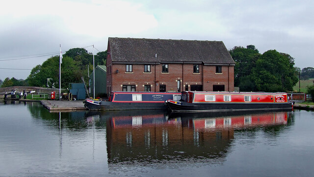
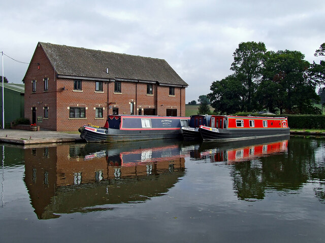
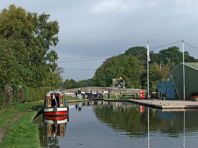
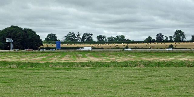
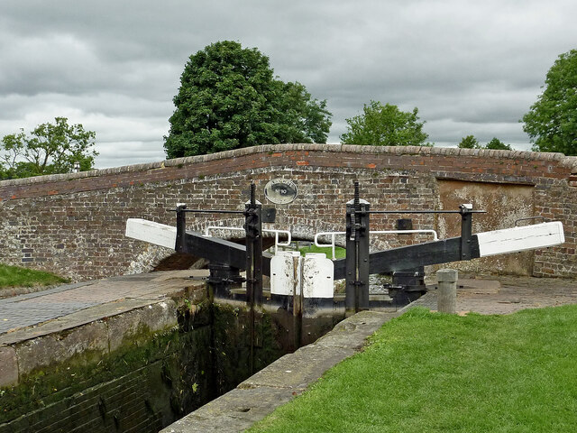
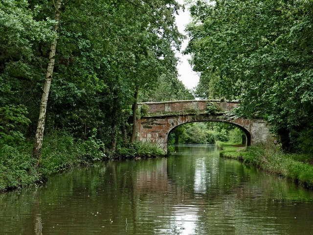
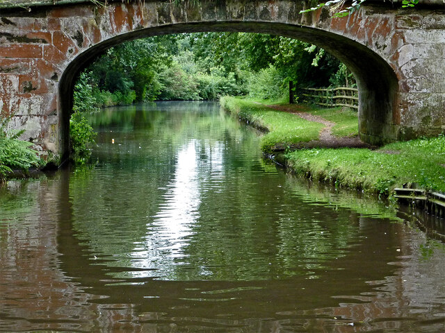
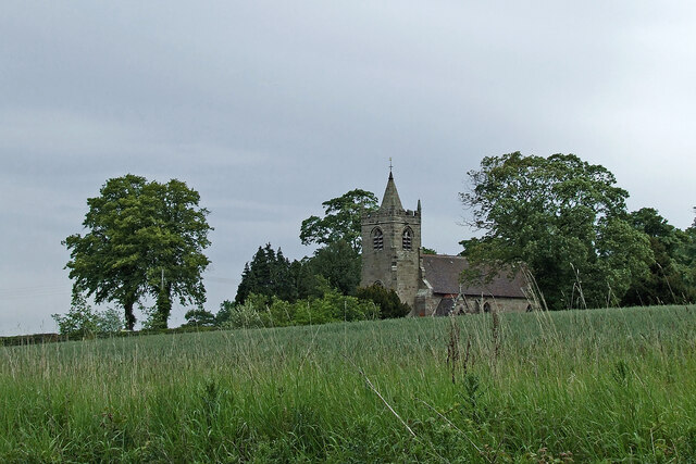
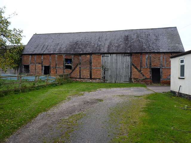
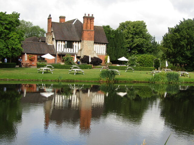
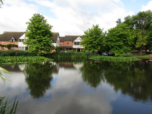
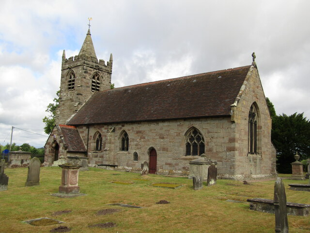
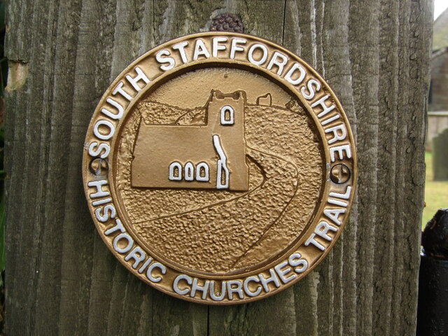
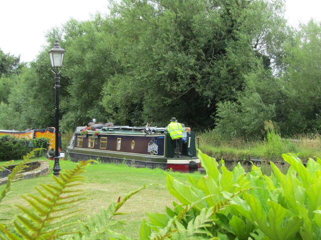
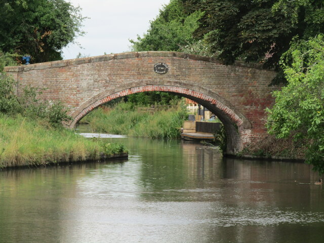
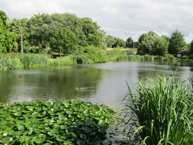
Wellington Belt Images

Images are sourced within 2km of 52.746548/-2.0749005 or Grid Reference SJ9516. Thanks to Geograph Open Source API. All images are credited.

Canal basin north of Penkridge in Staffordshire In 2011 this was still the base for the Teddesley Boat Company, by Park Gate Lock on the Staffordshire and Worcestershire Canal. Katrina is an example of one of their smart hire fleet.
Canal basin north of Penkridge in Staffordshire
In 2011 this was still the base for the Teddesley Boat Company, by Park Gate Lock on the Staffordshire and Worcestershire Canal. Katrina is an example of one of their smart hire fleet.
Narrowboats north of Penkridge in Staffordshire In 2011 this was still the base for the Teddesley Boat Company, by Park Gate Lock on the Staffordshire and Worcestershire Canal. Katrina is an example of one of their smart hire fleet.
Narrowboats north of Penkridge in Staffordshire
In 2011 this was still the base for the Teddesley Boat Company, by Park Gate Lock on the Staffordshire and Worcestershire Canal. Katrina is an example of one of their smart hire fleet.
Park Gate Lock north of Penkridge in Staffordshire Park Gate Lock is No 40 on the Staffordshire and Worcestershire Canal west of Teddesley Park. The green building contains the very useful Midland Chandlers.
Park Gate Lock north of Penkridge in Staffordshire
Park Gate Lock is No 40 on the Staffordshire and Worcestershire Canal west of Teddesley Park. The green building contains the very useful Midland Chandlers.
Farmland and motorway near Acton Trussell, Staffordshire Looking west-south-west from the Staffordshire and Worcestershire Canal. Cockpit Plantation is on the left. The M6 motorway crosses the view, and just below it, the River Penk (hidden) meanders, flowing from left to right.
Farmland and motorway near Acton Trussell, Staffordshire
Looking west-south-west from the Staffordshire and Worcestershire Canal. Cockpit Plantation is on the left. The M6 motorway crosses the view, and just below it, the River Penk (hidden) meanders, flowing from left to right.
Park Gate Lock and Bridge near Penkridge, Staffordshire Park Gate Bridge is No 90 across the Staffordshire and Worcestershire Canal, and now allows access to the Midland Chandlers warehouse, Park Gate Lockhouse and the (now former) Teddesley Boat Compaany wharf.

Note the two gate paddle ratchets (between the bridge plate) are both up so the lock is being drained to allow a south bound boat to enter.
Park Gate Lock and Bridge near Penkridge, Staffordshire
Park Gate Bridge is No 90 across the Staffordshire and Worcestershire Canal, and now allows access to the Midland Chandlers warehouse, Park Gate Lockhouse and the (now former) Teddesley Boat Compaany wharf. Note the two gate paddle ratchets (between the bridge plate) are both up so the lock is being drained to allow a south bound boat to enter.
Canal cruising near Penkridge in Staffordshire This is the Staffordshire and Worcestershire Canal meandering southwards towards Penkridge and Wolverhampton. The narrowboat is called "Beeston Castle".
Canal cruising near Penkridge in Staffordshire
This is the Staffordshire and Worcestershire Canal meandering southwards towards Penkridge and Wolverhampton. The narrowboat is called "Beeston Castle".
Teddesley Park Bridge near Penkridge in Staffordshire Looking south-south-east towards Penkridge and Wolverhampton.
Teddesley Park Bridge is No 89 across the Staffordshire and Worcestershire Canal. The accommodation bridge carries a farm track and public footpath.
Teddesley Park Bridge near Penkridge in Staffordshire
Looking south-south-east towards Penkridge and Wolverhampton. Teddesley Park Bridge is No 89 across the Staffordshire and Worcestershire Canal. The accommodation bridge carries a farm track and public footpath.
Across the fields to church No, it's not a route, just a view from the Staffordshire and Worcestershire Canal, looking north-east towards the Church of St James in Acton Trussell.
Across the fields to church
No, it's not a route, just a view from the Staffordshire and Worcestershire Canal, looking north-east towards the Church of St James in Acton Trussell.
Timber-framed barn at Lower Farm Described in its 1986 Grade II listing <span class="nowrap"><a title="https://britishlistedbuildings.co.uk/101039249-barn-incorporating-cowhouse-approximately-5-yards-north-of-lower-farmhouse-acton-trussell-and-bednall#.Ymo90drMI2w" rel="nofollow ugc noopener" href="https://britishlistedbuildings.co.uk/101039249-barn-incorporating-cowhouse-approximately-5-yards-north-of-lower-farmhouse-acton-trussell-and-bednall#.Ymo90drMI2w">Link</a><img style="margin-left:2px;" alt="External link" title="External link - shift click to open in new window" src="https://s1.geograph.org.uk/img/external.png" width="10" height="10"/></span> & <span class="nowrap"><a title="https://historicengland.org.uk/listing/the-list/list-entry/1039249" rel="nofollow ugc noopener" href="https://historicengland.org.uk/listing/the-list/list-entry/1039249">Link</a><img style="margin-left:2px;" alt="External link" title="External link - shift click to open in new window" src="https://s1.geograph.org.uk/img/external.png" width="10" height="10"/></span> as "Early 18th century", this building is still in agricultural use. It has a cowhouse at the left end, and a threshing room to the right of the full-height doorway.
Timber-framed barn at Lower Farm
Described in its 1986 Grade II listing LinkExternal link & LinkExternal link as "Early 18th century", this building is still in agricultural use. It has a cowhouse at the left end, and a threshing room to the right of the full-height doorway.
Acton Trussell - The Moat House This upmarket hotel is centred on an historic manor house and still has parts of the moat around it.
<span class="nowrap"><a title="www.moathouse.co.uk" rel="nofollow ugc noopener" href="http://www.moathouse.co.uk">Link</a><img style="margin-left:2px;" alt="External link" title="External link - shift click to open in new window" src="https://s1.geograph.org.uk/img/external.png" width="10" height="10"/></span>
Acton Trussell - The Moat House
This upmarket hotel is centred on an historic manor house and still has parts of the moat around it. LinkExternal link
Acton Trussell - Parish Church St James Church dates from ca 1300 and lies south of the village Acton Trussell. Note the dinky spire on the low tower.
Acton Trussell - Parish Church
St James Church dates from ca 1300 and lies south of the village Acton Trussell. Note the dinky spire on the low tower.
South Staffordshire - Historic Churches Trail Small waymarker outside medieval St James Church in Acton Trussell. Despite the plaque the church is not always open to visitors.
South Staffordshire - Historic Churches Trail
Small waymarker outside medieval St James Church in Acton Trussell. Despite the plaque the church is not always open to visitors.
Acton Trussell Narrowboat on the Staffordshire and Worcestershire Canal passing The Moat House.
Acton Trussell
Narrowboat on the Staffordshire and Worcestershire Canal passing The Moat House.
Acton Moat Bridge Red brick bridge spanning the Staffordshire and Worcestershire Canal immediately north of The Moat House at Acton Trussell.
Acton Moat Bridge
Red brick bridge spanning the Staffordshire and Worcestershire Canal immediately north of The Moat House at Acton Trussell.
Acton Trussel - Moat One of the remaining sections of moat surrounding The Moat House, now an upmarket hotel.
<span class="nowrap"><a title="www.moathouse.co.uk" rel="nofollow ugc noopener" href="http://www.moathouse.co.uk">Link</a><img style="margin-left:2px;" alt="External link" title="External link - shift click to open in new window" src="https://s1.geograph.org.uk/img/external.png" width="10" height="10"/></span>
Acton Trussel - Moat
One of the remaining sections of moat surrounding The Moat House, now an upmarket hotel. LinkExternal link
Acton Trussell - Canalside The Staffordshire and Worcestershire Canal immediately north of Acton Moat Bridge at Acton Trussell.
Acton Trussell - Canalside
The Staffordshire and Worcestershire Canal immediately north of Acton Moat Bridge at Acton Trussell.
Show me another place!

Wellington Belt is located at Grid Ref: SJ9516 (Lat: 52.746548, Lng: -2.0749005)

Administrative County: Staffordshire

District: South Staffordshire

Police Authority: Staffordshire

What 3 Words

///transit.limo.devoured. Near Penkridge, Staffordshire

Related Wikis

Bednall

Bednall is a village in Staffordshire, England. == Location == Bednall lies somewhat remote from main roads, in dairy-farming countryside some 2.5 miles...

Teddesley Hall

Teddesley Hall was a large Georgian English country house located close to Penkridge in Staffordshire, now demolished. It was the main seat firstly of...

Acton Trussell and Bednall

Acton Trussell and Bednall is a civil parish in the South Staffordshire district of Staffordshire, England. As the name indicates, it contains the two...

Acton Trussell

Acton Trussell is a village in the English county of Staffordshire. It is known as Actone in the Domesday Book. Located around 4 miles southeast of Stafford...

Dunston, Staffordshire

Dunston is a small village in England lying on the west side of the A449 trunk road about 3 miles (4.8 km) south of Stafford, close to Junction 13 of the...

Wolgarston High School

Wolgarston High School is a coeducational upper school and sixth form located in Penkridge, Staffordshire, England. Wolgarston High School is an age 13...

Pillaton, Staffordshire

Pillaton is a small village in Staffordshire, England, nearby to Penkridge and lying on the B5012 road between Cannock and Penkridge. It falls under the...

Brocton, Staffordshire

Brocton is a village and civil parish in the English county of Staffordshire. It is within the borough of Stafford. The village describes itself as the...

Nearby Amenities

Located within 500m of 52.746548,-2.0749005
Barrier: stile
Steps: 1
Stile: stepover
Lat/Long: 52.7478578/-2.0749699
The data included in this document is from www.openstreetmap.org. The data is made available under ODbL.

Have you been to Wellington Belt?

Leave your review of Wellington Belt below (or comments, questions and feedback).