Inkerman Belt
Downs, Moorland in Staffordshire South Staffordshire
England
Inkerman Belt
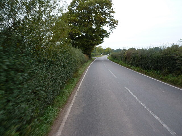
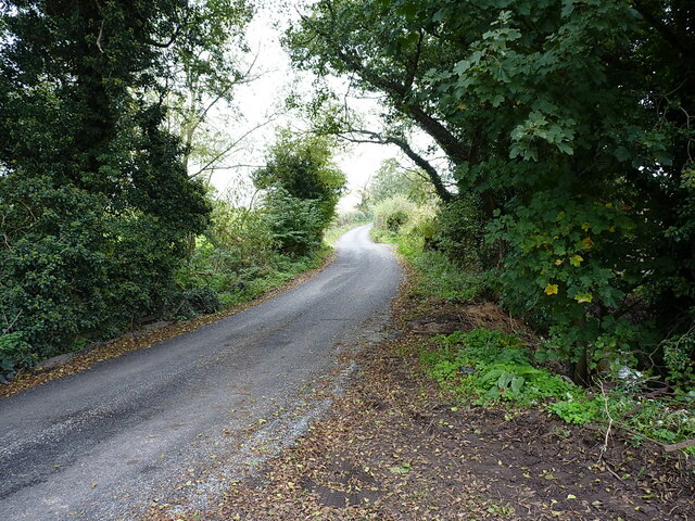
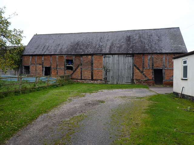
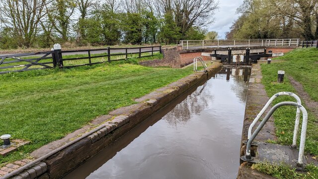
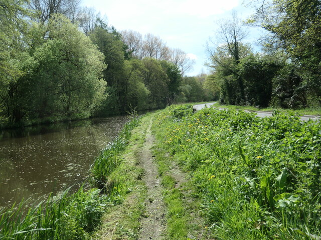
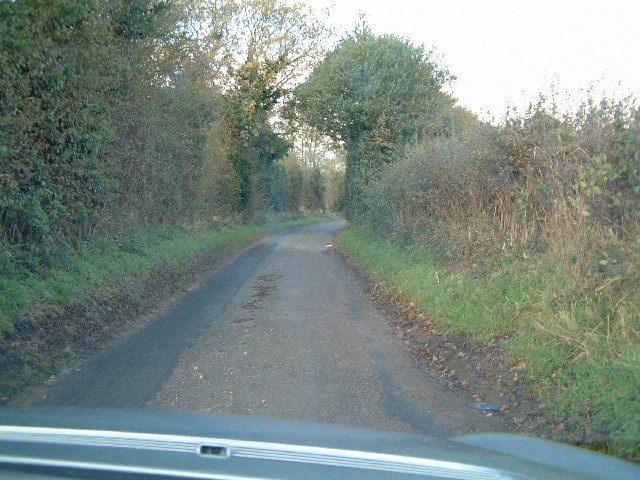
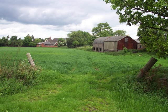
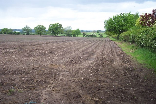
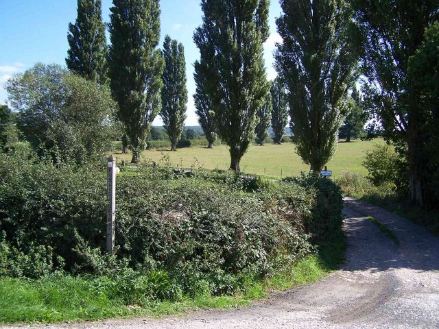
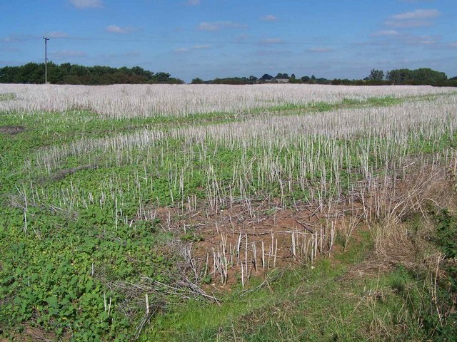
Inkerman Belt is a scenic area located in Staffordshire, England. It is known for its picturesque landscapes, encompassing both downs and moorland. The area is characterized by rolling hills, open fields, and heather-covered moors, creating a diverse and visually stunning environment.
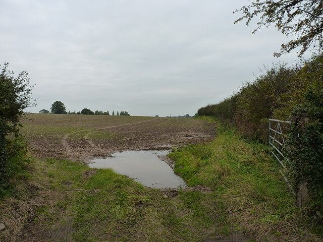
The Downs of Inkerman Belt offer vast expanses of green pastures, dotted with grazing sheep and cattle. These gentle slopes provide a perfect setting for walking, picnicking, and enjoying the panoramic views of the surrounding countryside. The area is also home to a variety of wildlife, including birds, rabbits, and occasionally deer, adding to its natural charm.
The Moorland of Inkerman Belt presents a different landscape altogether. Here, visitors will find themselves immersed in a rugged terrain, covered with heath, bracken, and patches of rocky outcrops. The moorland is a haven for flora and fauna, with species such as bilberries, cotton grass, and various birds of prey making their home in this unique habitat.
A visit to Inkerman Belt offers a chance to explore the beauty of the English countryside. The area is crisscrossed with walking trails, allowing visitors to discover its hidden gems at their own pace. Whether it's a leisurely stroll through the Downs or an adventurous hike across the moorland, Inkerman Belt provides ample opportunities for outdoor enthusiasts to connect with nature and enjoy the tranquility of this idyllic setting.
Overall, Inkerman Belt in Staffordshire is a captivating destination for nature lovers, offering a blend of downs and moorland that showcases the diverse beauty of the English landscape.
If you have any feedback on the listing, please let us know in the comments section below.
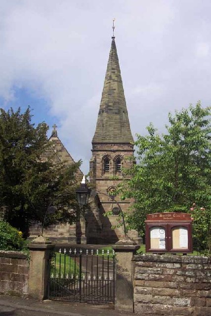
Inkerman Belt Images
Images are sourced within 2km of 52.749753/-2.06578 or Grid Reference SJ9516. Thanks to Geograph Open Source API. All images are credited.


Inkerman Belt is located at Grid Ref: SJ9516 (Lat: 52.749753, Lng: -2.06578)
Administrative County: Staffordshire
District: South Staffordshire
Police Authority: Staffordshire
What 3 Words
///tins.blackmail.havens. Near Penkridge, Staffordshire
Nearby Locations
Related Wikis

Bednall
Bednall is a village in Staffordshire, England. == Location == Bednall lies somewhat remote from main roads, in dairy-farming countryside some 2.5 miles...

Acton Trussell and Bednall
Acton Trussell and Bednall is a civil parish in the South Staffordshire district of Staffordshire, England. As the name indicates, it contains the two...
Teddesley Hall
Teddesley Hall was a large Georgian English country house located close to Penkridge in Staffordshire, now demolished. It was the main seat firstly of...
Acton Trussell
Acton Trussell is a village in the English county of Staffordshire. It is known as Actone in the Domesday Book. Located around 4 miles southeast of Stafford...

Brocton, Staffordshire
Brocton is a village and civil parish in the English county of Staffordshire. It is within the borough of Stafford. The village describes itself as the...

Cannock Chase German Military Cemetery
The Cannock Chase German Military Cemetery (grid reference SJ984157) is on Cannock Chase, Staffordshire, England. The cemetery contains nearly 5,000 burials...

Dunston, Staffordshire
Dunston is a small village in England lying on the west side of the A449 trunk road about 3 miles (4.8 km) south of Stafford, close to Junction 13 of the...
Wolgarston High School
Wolgarston High School is a coeducational upper school and sixth form located in Penkridge, Staffordshire, England. Wolgarston High School is an age 13...
Nearby Amenities
Located within 500m of 52.749753,-2.06578Have you been to Inkerman Belt?
Leave your review of Inkerman Belt below (or comments, questions and feedback).