Launceston Down
Downs, Moorland in Dorset
England
Launceston Down
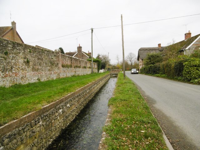
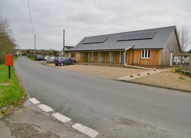
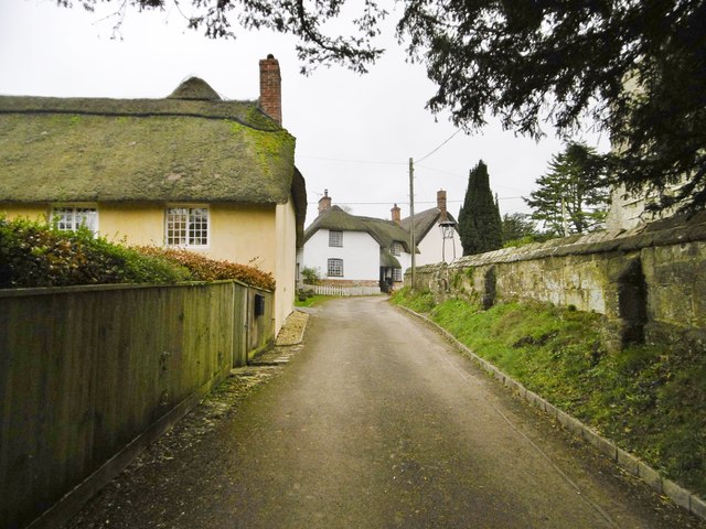
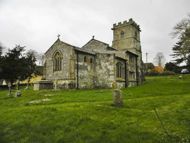
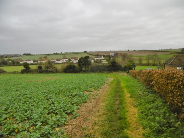
Launceston Down is a picturesque area located in the county of Dorset, England. It is a part of the larger Dorset Downs, which stretch across the southern part of the county. Launceston Down is known for its rolling hills, expansive moorland, and breathtaking views of the surrounding countryside.
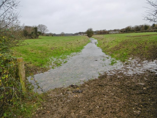
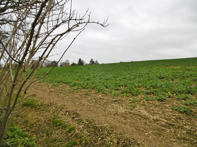
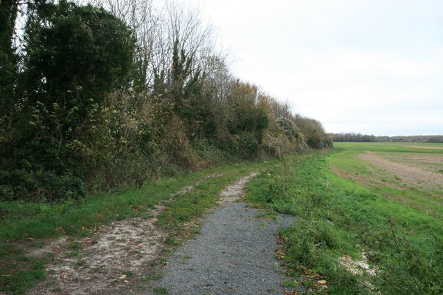
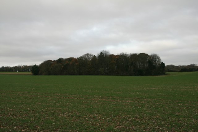
The landscape of Launceston Down is characterized by its gentle slopes, covered in a patchwork of green fields and heather-filled moors. The area is crisscrossed by a network of walking paths and bridleways, offering visitors the opportunity to explore the area on foot, horseback, or bicycle. These paths wind through ancient woodlands, past quaint villages, and up to stunning viewpoints, where visitors can take in panoramic vistas of the countryside.
The flora and fauna of Launceston Down are diverse and thriving. The moorland is home to a variety of bird species, including skylarks, stonechats, and curlews. During the summer months, the fields burst into a riot of color as wildflowers such as foxgloves, harebells, and buttercups bloom.
The area also holds historical significance, with evidence of human activity dating back thousands of years. Bronze Age burial mounds and Iron Age hillforts can be found scattered across the landscape, providing a glimpse into the ancient history of the region.
Overall, Launceston Down is a captivating destination for those seeking to immerse themselves in the natural beauty and rich history of Dorset. Whether it's a leisurely stroll along the paths or a challenging hike through the hills, this area offers something for everyone to enjoy.
If you have any feedback on the listing, please let us know in the comments section below.
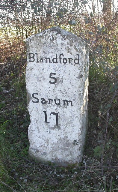
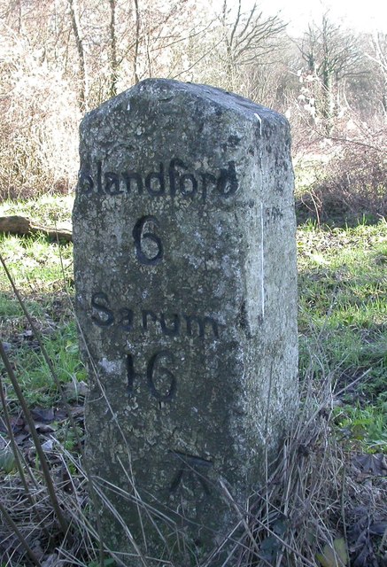
Launceston Down Images
Images are sourced within 2km of 50.896094/-2.0667923 or Grid Reference ST9510. Thanks to Geograph Open Source API. All images are credited.


Launceston Down is located at Grid Ref: ST9510 (Lat: 50.896094, Lng: -2.0667923)
Unitary Authority: Dorset
Police Authority: Dorset
What 3 Words
///lifeguard.roost.spirits. Near Pimperne, Dorset
Nearby Locations
Related Wikis

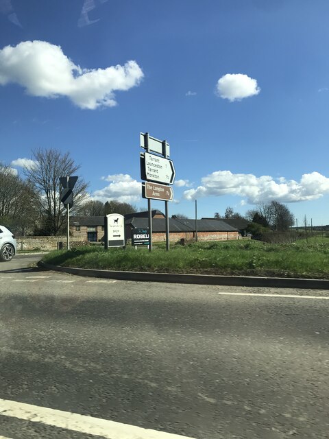
Tarrant Launceston
Tarrant Launceston is a small village and civil parish in north Dorset, England, situated in the Tarrant Valley 5 miles (8 kilometres) northeast of Blandford...

Tarrant Hinton
Tarrant Hinton is a village and civil parish in the county of Dorset in southern England. It is situated in the Tarrant Valley, approximately five miles...

Tarrant Monkton
Tarrant Monkton is a village and civil parish in north Dorset, England, situated in the Tarrant Valley about four miles (six kilometres) east-northeast...

Thickthorn Down Long Barrows
The Thickthorn Down Long Barrows are two Neolithic long barrows, near the village of Gussage St Michael in Dorset, England. They are near the south-western...

Long Crichel
Long Crichel () is a small village and former civil parish, now in the parish of Crichel, in east Dorset, England, situated on Cranborne Chase five miles...

St Mary's Church, Long Crichel
St Mary's Church is in the village of Long Crichel, Dorset, England. It is a redundant Anglican parish church that has been under the care of the Friends...

Great Dorset Steam Fair
The Great Dorset Steam Fair (abbreviated GDSF, and since 2010 also known as The National Heritage Show) is an annual show featuring steam-powered vehicles...

Chettle House
Chettle House is a Grade I listed country manor house with Queen Anne style architecture in Chettle, North Dorset, England, about 6 miles (10 km) northeast...
Nearby Amenities
Located within 500m of 50.896094,-2.0667923Have you been to Launceston Down?
Leave your review of Launceston Down below (or comments, questions and feedback).