Greens Moor

Downs, Moorland in Lancashire Rossendale

England

Greens Moor

OS Benchmark locator Newchurch Old Rd Benchmark locator on a stone now used as a step down onto Newchurch Old Road, Bacup.
I assume this would have been located in the wall of the old road originally.
OS Benchmark locator Newchurch Old Rd Credit: Phill

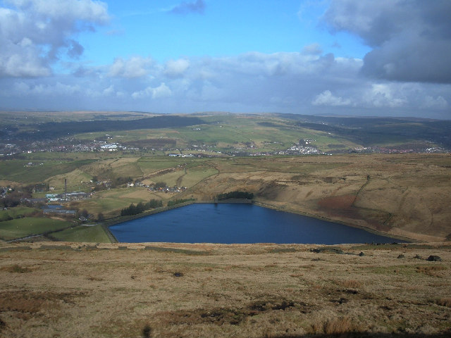
Greens Moor is a beautiful area located in Lancashire, England. It is characterized by its vast expanse of downs and moorland, offering visitors a unique and picturesque landscape to explore.

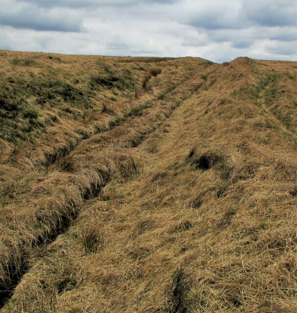
The moorland of Greens Moor is rich in biodiversity, with a variety of plant and animal species calling it home. The area boasts a diverse range of vegetation, including heather, grasses, and wildflowers, creating a stunning tapestry of colors throughout the year. This abundance of plant life also attracts a wide array of bird species, making it a haven for birdwatchers and nature enthusiasts.

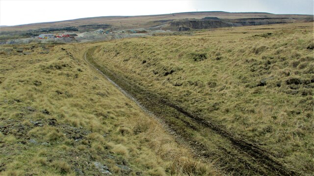
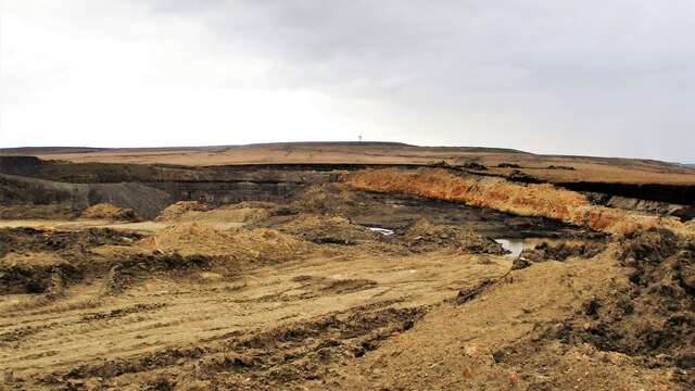
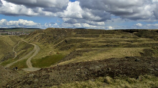
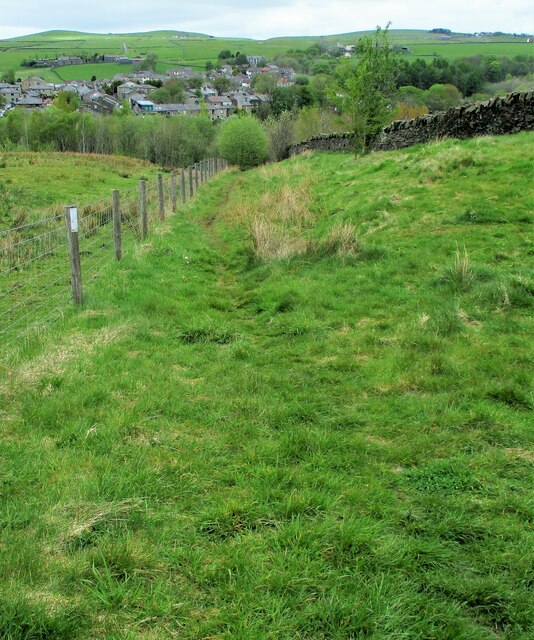
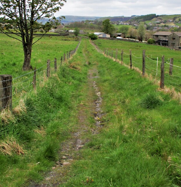
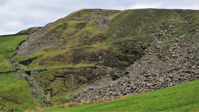
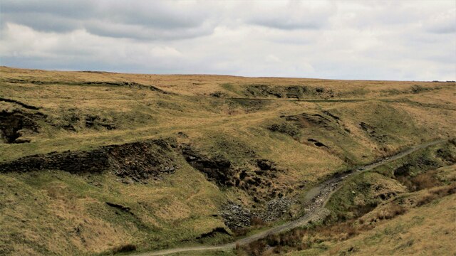
The undulating downs of Greens Moor provide breathtaking views of the surrounding countryside. Rolling hills, dotted with grazing sheep, stretch as far as the eye can see, offering a sense of tranquility and serenity. Walking trails crisscross the moorland, allowing visitors to explore the area and immerse themselves in its natural beauty.

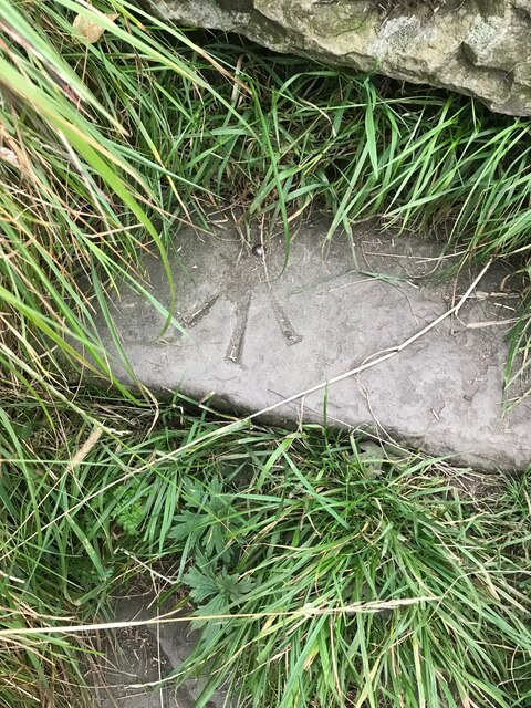
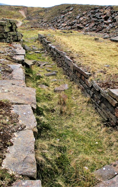
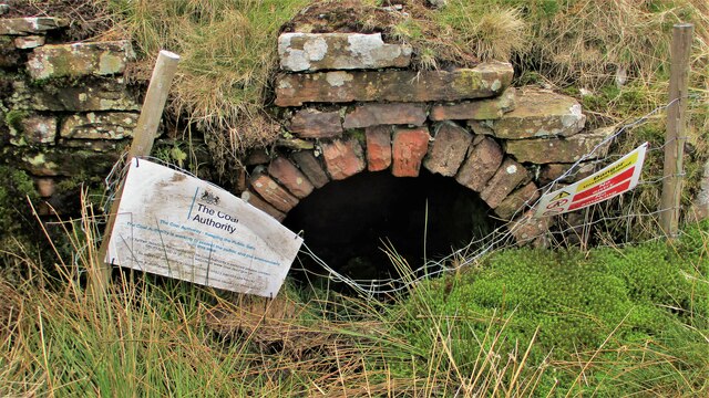
Aside from its natural attractions, Greens Moor is also steeped in history. Ancient burial grounds, stone circles, and remnants of prehistoric settlements can be found scattered across the landscape, providing a glimpse into the area's past. These archaeological sites offer a unique opportunity to delve into the rich history and heritage of Greens Moor.

Whether it's a leisurely walk, birdwatching, or a journey into the past, Greens Moor offers a captivating experience for visitors. Its stunning moorland and downs, abundant wildlife, and historical significance make it a must-visit destination for nature lovers and history enthusiasts alike.

If you have any feedback on the listing, please let us know in the comments section below.
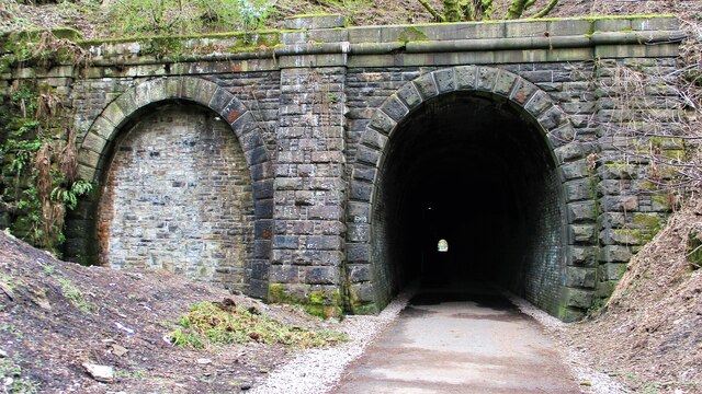
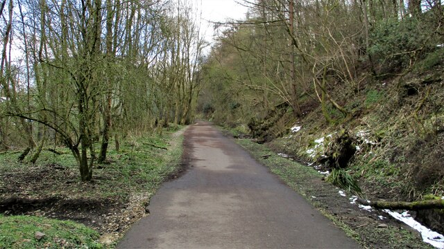
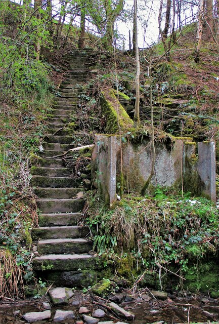
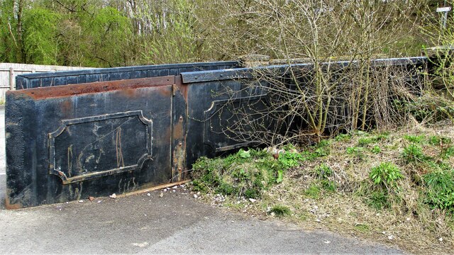
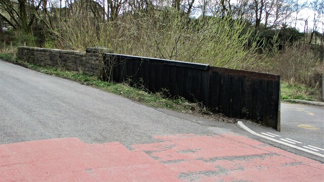
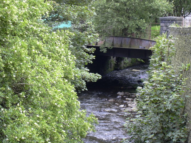
Greens Moor Images

Images are sourced within 2km of 53.679705/-2.2164987 or Grid Reference SD8520. Thanks to Geograph Open Source API. All images are credited.

OS Benchmark locator Newchurch Old Rd Benchmark locator on a stone now used as a step down onto Newchurch Old Road, Bacup.
I assume this would have been located in the wall of the old road originally.
OS Benchmark locator Newchurch Old Rd
Benchmark locator on a stone now used as a step down onto Newchurch Old Road, Bacup. I assume this would have been located in the wall of the old road originally.
Former Britannia Quarry Railway Trackbed View South across Stubbylee Moss with current quarrying activity beyond in what was Britannia Quarry, but always over the border in Whitworth.
Former Britannia Quarry Railway Trackbed
View South across Stubbylee Moss with current quarrying activity beyond in what was Britannia Quarry, but always over the border in Whitworth.
Britannia Quarry  - Stripping the Coal Seam Western most workings on Holden Moor where about 20 feet of overlay is removed to reveal a coal seam which appears to run horizontal at this point.
Britannia Quarry - Stripping the Coal Seam
Western most workings on Holden Moor where about 20 feet of overlay is removed to reveal a coal seam which appears to run horizontal at this point.
Former Trackbed of Lee Quarry Tramway Incline View up the incline of about half mile towards Lee Quarry
Former Trackbed of Lee Quarry Tramway Incline
View up the incline of about half mile towards Lee Quarry
Trackbed of former railway heading East out of Lee Quarry A railway following the contour allowed Lee Quarry to link with the Britannia Incline.
Trackbed of former railway heading East out of Lee Quarry
A railway following the contour allowed Lee Quarry to link with the Britannia Incline.
Lee Quarry Eastern Workings The stonework suggests loading platforms for the quarry tramway system
Lee Quarry Eastern Workings
The stonework suggests loading platforms for the quarry tramway system
Former Trackbed of Quarry Railway Incline Land reclamation has obscured the actual trackbed that went steeply down to Siddalls Sidings just East of Stacksteads Station.
Former Trackbed of Quarry Railway Incline
Land reclamation has obscured the actual trackbed that went steeply down to Siddalls Sidings just East of Stacksteads Station.
Former Trackbed of Quarry Railway This section of Siddalls quarry railways ran from Law Head to Greens. Law Head is in the distance in this view.
Former Trackbed of Quarry Railway
This section of Siddalls quarry railways ran from Law Head to Greens. Law Head is in the distance in this view.
Former Railway Routes serving Greens Moor Quarry View across Greens Clough which is filled with quarry spoil but two former trackbeds with stone embankments are apparent.
Former Railway Routes serving Greens Moor Quarry
View across Greens Clough which is filled with quarry spoil but two former trackbeds with stone embankments are apparent.
Former Trackbed of Quarry Railway in Greens Clough Route of Siddalls Quarry railway heading South to Hall Cowm and Back Cowm Quarries plus various mines.
Former Trackbed of Quarry Railway in Greens Clough
Route of Siddalls Quarry railway heading South to Hall Cowm and Back Cowm Quarries plus various mines.
Helm Clough Colliery Remains Coal Authority notices keeping you safe at an entrance
Helm Clough Colliery Remains
Coal Authority notices keeping you safe at an entrance
Former Trackbed of Quarry Railway Route of Siddalls Quarry railway out of Greens Clough and on South to Jacksons Moor
Former Trackbed of Quarry Railway
Route of Siddalls Quarry railway out of Greens Clough and on South to Jacksons Moor
Cyclepath through Newchurch No.2 Tunnel View West on newly laid cyclepath with the blocked Thrutch Tunnel to the left
Cyclepath through Newchurch No.2 Tunnel
View West on newly laid cyclepath with the blocked Thrutch Tunnel to the left
Cyclepath East of Thrutch Tunnel Cyclepath view East along former railway towards Bacup. It is contoured in the hillside above the River Irwell at this point
Cyclepath East of Thrutch Tunnel
Cyclepath view East along former railway towards Bacup. It is contoured in the hillside above the River Irwell at this point
Steps in Railway Cutting near Waterbarn Mill The railway presumably had hillside water drainage problems and needed to climb out of the cutting. Old OS maps have a tank marked about here.
Steps in Railway Cutting near Waterbarn Mill
The railway presumably had hillside water drainage problems and needed to climb out of the cutting. Old OS maps have a tank marked about here.
Vertical Culvert in Railway Cutting This appears to be a drain from the hillside which has required substantial masonry. Near Waterbarn Mills
Vertical Culvert in Railway Cutting
This appears to be a drain from the hillside which has required substantial masonry. Near Waterbarn Mills
Metal Bridge Parapet on Rakehead Lane The railway bridge for Rakehead Lane has been infilled so the cyclepath has to cross the lane on the level
Metal Bridge Parapet on Rakehead Lane
The railway bridge for Rakehead Lane has been infilled so the cyclepath has to cross the lane on the level
Rakehead Lane Railway Bridge Parapets The former railway bridge which has been infilled has a metal and a masonry parapet
Rakehead Lane Railway Bridge Parapets
The former railway bridge which has been infilled has a metal and a masonry parapet
Show me another place!

Greens Moor is located at Grid Ref: SD8520 (Lat: 53.679705, Lng: -2.2164987)

Administrative County: Lancashire

District: Rossendale

Police Authority: Lancashire

What 3 Words

///hunk.coining.ribs. Near Bacup, Lancashire

Related Wikis

Lee Quarry

Lee Quarry is a mountain bike trail located near Bacup and Stacksteads in Rossendale Valley, Lancashire. Originally a working quarry, the quarry alongside...

Stacksteads

Stacksteads is a village between the towns of Bacup and Waterfoot within the Rossendale borough of Lancashire, England. The population of this Rossendale...

Stacksteads railway station

Stacksteads railway station served Stacksteads near Bacup, Rossendale, Lancashire, England from 1852 until the line closed in 1966. The station was just...

Cowpe

Cowpe is a hamlet in Rossendale, Lancashire, England. It lies in the South Pennines, north of Scout Moor Wind Farm, by the Pennine Bridleway. Rawtenstall...

Nearby Amenities

Located within 500m of 53.679705,-2.2164987
Generator Method: wind_turbine
Generator Source: wind
Power: generator
Lat/Long: 53.6825263/-2.2207577
Disused: yes
Man Made: mineshaft
Lat/Long: 53.6782984/-2.2103952
The data included in this document is from www.openstreetmap.org. The data is made available under ODbL.

Have you been to Greens Moor?

Leave your review of Greens Moor below (or comments, questions and feedback).