Well Clough
Valley in Lancashire Rossendale
England
Well Clough
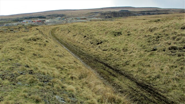
Well Clough is a picturesque valley located in Lancashire, England. Nestled within the South Pennines, it is known for its stunning natural beauty and tranquil atmosphere. The valley is situated near the town of Bacup and covers an area of approximately 2 square miles.
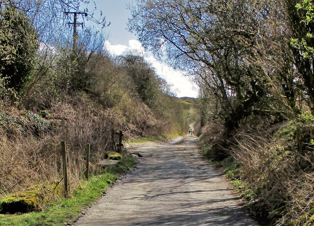
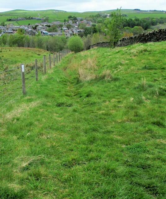
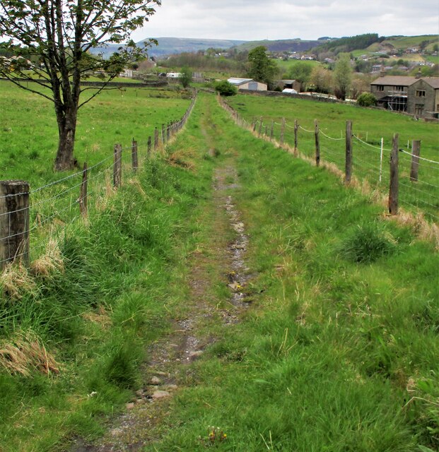
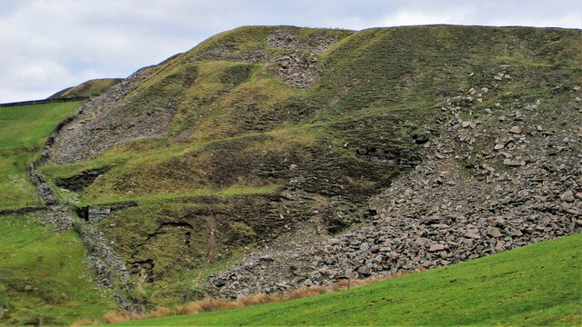
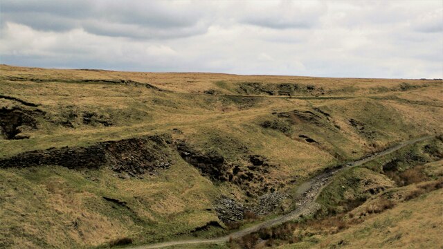
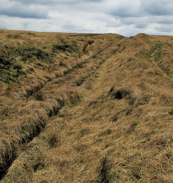
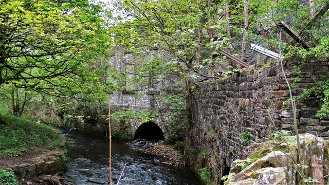
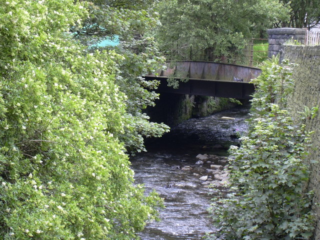
Well Clough is characterized by its lush green landscape, rolling hills, and meandering streams. The valley is surrounded by dense woodland, providing a haven for various wildlife species. The area is particularly popular among hikers, nature enthusiasts, and photographers, who are drawn to its scenic walking trails and panoramic views.
One of the notable features of Well Clough is its abundance of waterfalls. The valley boasts several cascades, including the well-known Clough Head Falls, which is a popular attraction for visitors. The falls are especially striking after heavy rainfall, when the water flows vigorously over the rocks, creating a mesmerizing sight.
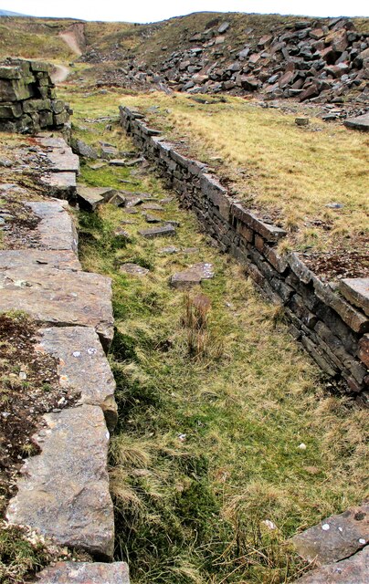
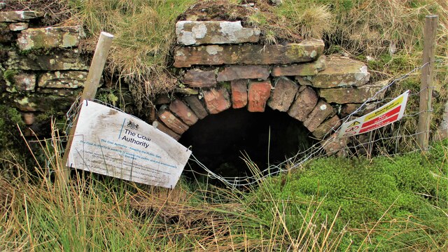
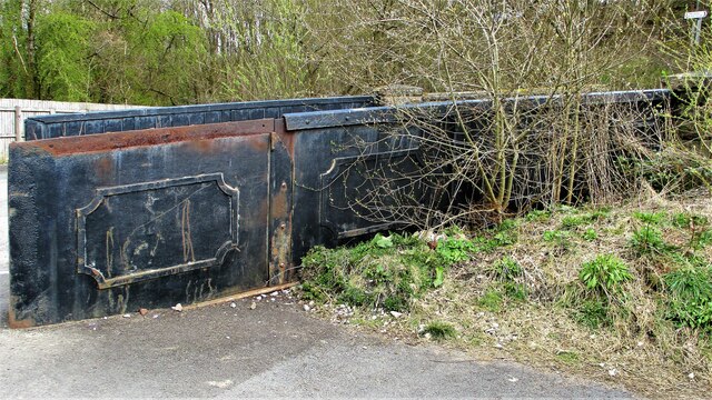
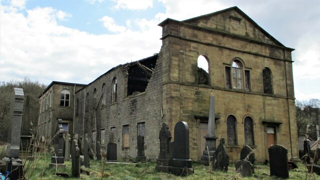
In addition to its natural beauty, Well Clough is also rich in history. The valley has historical significance dating back to the Industrial Revolution, with remnants of old mills and industrial infrastructure dotting the landscape. These remnants serve as a reminder of the area's past as a hub of textile manufacturing.
Overall, Well Clough offers a peaceful escape from the hustle and bustle of modern life. With its breathtaking scenery, diverse wildlife, and historical charm, it is a hidden gem within the Lancashire countryside.
If you have any feedback on the listing, please let us know in the comments section below.
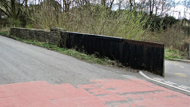
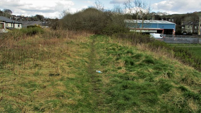
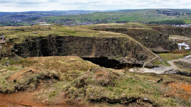
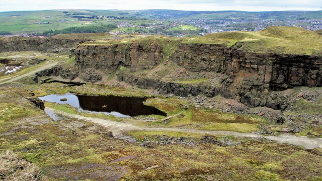
Well Clough Images
Images are sourced within 2km of 53.677801/-2.2156109 or Grid Reference SD8520. Thanks to Geograph Open Source API. All images are credited.
Well Clough is located at Grid Ref: SD8520 (Lat: 53.677801, Lng: -2.2156109)
Administrative County: Lancashire
District: Rossendale
Police Authority: Lancashire
What 3 Words
///unspoiled.sampling.duos. Near Bacup, Lancashire
Nearby Locations
Related Wikis

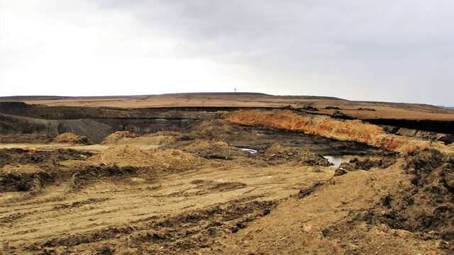
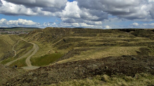
Lee Quarry
Lee Quarry is a mountain bike trail located near Bacup and Stacksteads in Rossendale Valley, Lancashire. Originally a working quarry, the quarry alongside...

Stacksteads
Stacksteads is a village between the towns of Bacup and Waterfoot within the Rossendale borough of Lancashire, England. The population of this Rossendale...
Stacksteads railway station
Stacksteads railway station served Stacksteads near Bacup, Rossendale, Lancashire, England from 1852 until the line closed in 1966. The station was just...

Stubbylee Hall
Stubbylee Hall, formerly known as Bacup Town Hall, is a former municipal building in Stubbylee Lane in Bacup, a town in Lancashire in England. The building...
Nearby Amenities
Located within 500m of 53.677801,-2.2156109Have you been to Well Clough?
Leave your review of Well Clough below (or comments, questions and feedback).