Brandwood Lower End Moor

Downs, Moorland in Lancashire Rossendale

England

Brandwood Lower End Moor

OS Benchmark locator Newchurch Old Rd Benchmark locator on a stone now used as a step down onto Newchurch Old Road, Bacup.
I assume this would have been located in the wall of the old road originally.
OS Benchmark locator Newchurch Old Rd Credit: Phill

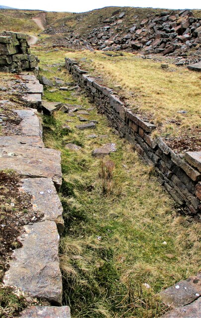
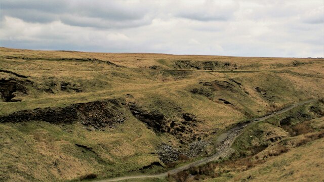
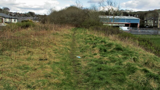
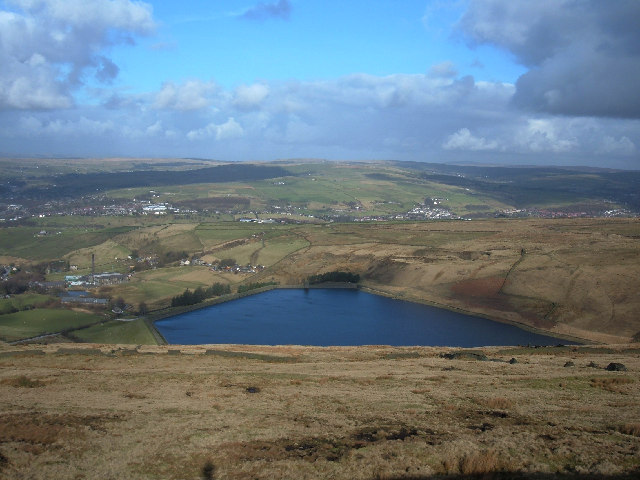
Brandwood Lower End Moor is a scenic and expansive area located in Lancashire, England. This natural landscape combines downs and moorland, offering visitors a diverse and captivating experience. Spread across a vast expanse, the moorland is adorned with heather and grassy patches, creating a picturesque tapestry of colors.

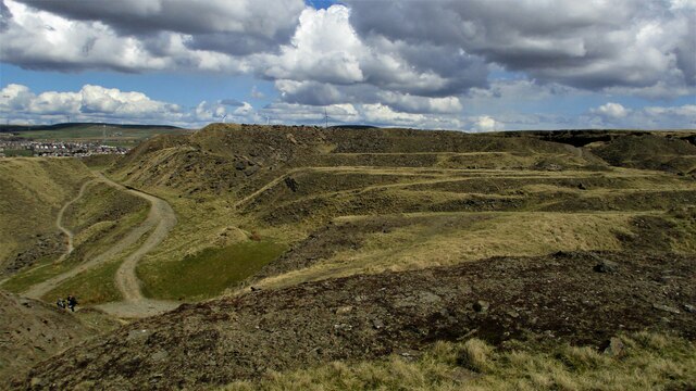
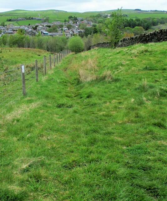
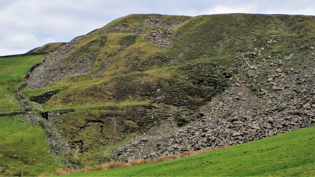
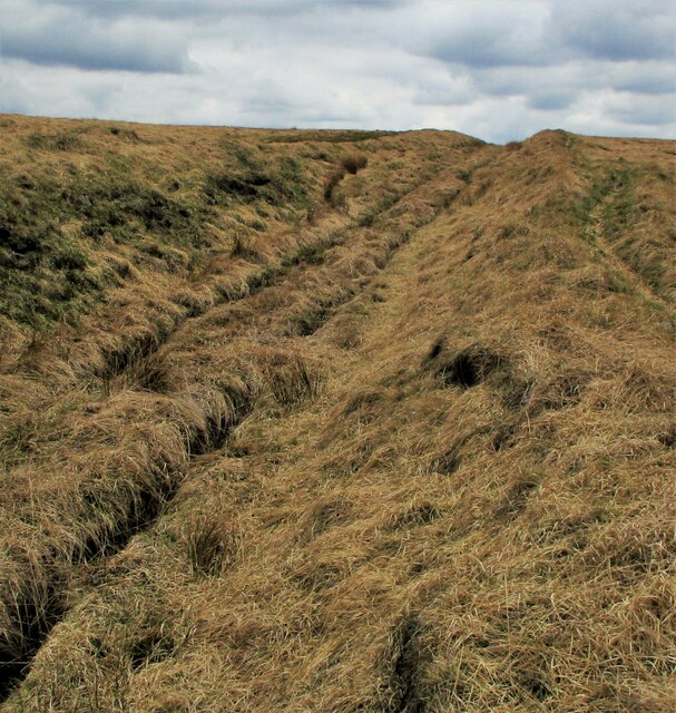
The moorland of Brandwood Lower End Moor is characterized by its undulating terrain, featuring gentle slopes and occasional rocky outcrops. This unique topography provides visitors with breathtaking panoramic views of the surrounding countryside. The area's downs add to its charm, with their rolling hills and vast open spaces.

The moorland is home to a variety of wildlife, making it a popular destination for nature enthusiasts and bird watchers. Visitors may catch glimpses of kestrels, lapwings, curlews, and other bird species that inhabit the moorland. Additionally, the moorland is home to smaller mammals such as rabbits and voles.

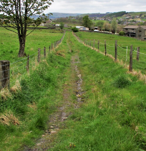
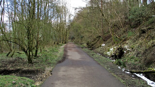
For those seeking outdoor activities, Brandwood Lower End Moor offers ample opportunities for hiking and walking. There are several well-maintained trails that crisscross the moorland and downs, allowing visitors to explore the area's natural beauty. The tranquil atmosphere and peaceful surroundings make it an ideal spot for relaxation and contemplation.

Overall, Brandwood Lower End Moor is a stunning natural landscape in Lancashire, combining moorland and downs to create a visually striking and ecologically diverse environment. Whether one is a nature lover, hiker, or simply seeking a peaceful retreat, this area offers a captivating experience for all.

If you have any feedback on the listing, please let us know in the comments section below.

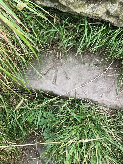
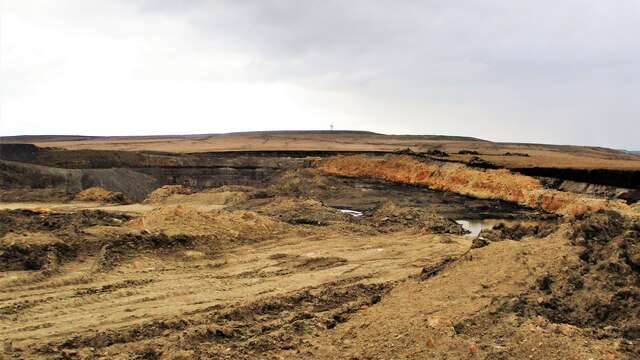
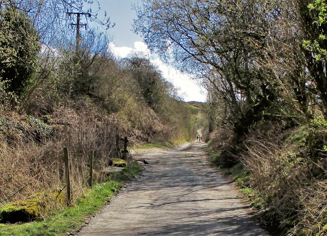
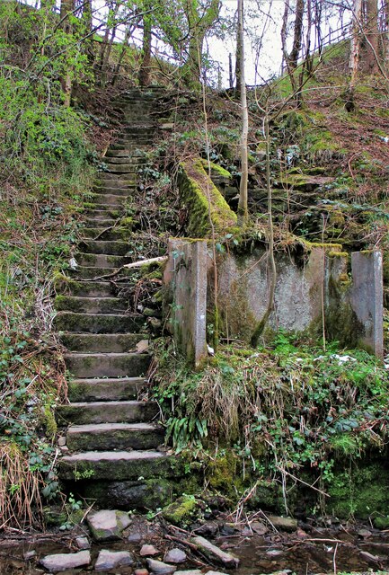
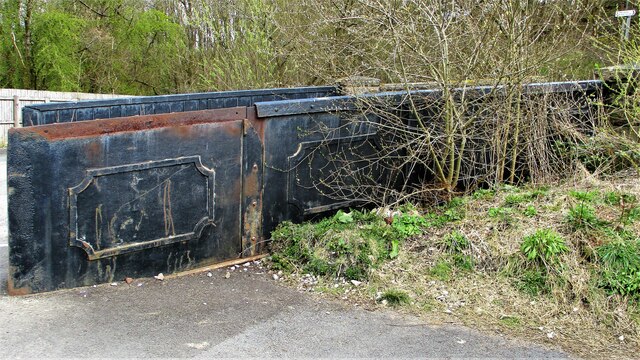
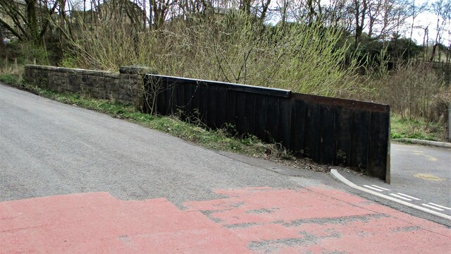
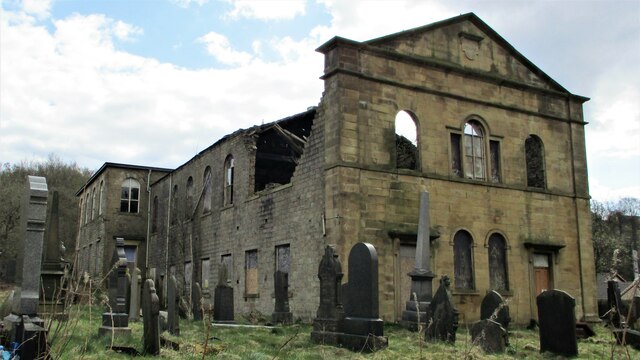
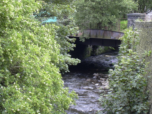
Brandwood Lower End Moor Images

Images are sourced within 2km of 53.677878/-2.2175036 or Grid Reference SD8520. Thanks to Geograph Open Source API. All images are credited.

OS Benchmark locator Newchurch Old Rd Benchmark locator on a stone now used as a step down onto Newchurch Old Road, Bacup.
I assume this would have been located in the wall of the old road originally.
OS Benchmark locator Newchurch Old Rd
Benchmark locator on a stone now used as a step down onto Newchurch Old Road, Bacup. I assume this would have been located in the wall of the old road originally.
Britannia Quarry  - Stripping the Coal Seam Western most workings on Holden Moor where about 20 feet of overlay is removed to reveal a coal seam which appears to run horizontal at this point.
Britannia Quarry - Stripping the Coal Seam
Western most workings on Holden Moor where about 20 feet of overlay is removed to reveal a coal seam which appears to run horizontal at this point.
Former Trackbed of Lee Quarry Tramway Incline View up the incline of about half mile towards Lee Quarry
Former Trackbed of Lee Quarry Tramway Incline
View up the incline of about half mile towards Lee Quarry
Trackbed of former railway heading East out of Lee Quarry A railway following the contour allowed Lee Quarry to link with the Britannia Incline.
Trackbed of former railway heading East out of Lee Quarry
A railway following the contour allowed Lee Quarry to link with the Britannia Incline.
Lee Quarry Eastern Workings The stonework suggests loading platforms for the quarry tramway system
Lee Quarry Eastern Workings
The stonework suggests loading platforms for the quarry tramway system
Former Trackbed of Quarry Railway Incline Land reclamation has obscured the actual trackbed that went steeply down to Siddalls Sidings just East of Stacksteads Station.
Former Trackbed of Quarry Railway Incline
Land reclamation has obscured the actual trackbed that went steeply down to Siddalls Sidings just East of Stacksteads Station.
Former Trackbed of Quarry Railway This section of Siddalls quarry railways ran from Law Head to Greens. Law Head is in the distance in this view.
Former Trackbed of Quarry Railway
This section of Siddalls quarry railways ran from Law Head to Greens. Law Head is in the distance in this view.
Former Railway Routes serving Greens Moor Quarry View across Greens Clough which is filled with quarry spoil but two former trackbeds with stone embankments are apparent.
Former Railway Routes serving Greens Moor Quarry
View across Greens Clough which is filled with quarry spoil but two former trackbeds with stone embankments are apparent.
Former Trackbed of Quarry Railway in Greens Clough Route of Siddalls Quarry railway heading South to Hall Cowm and Back Cowm Quarries plus various mines.
Former Trackbed of Quarry Railway in Greens Clough
Route of Siddalls Quarry railway heading South to Hall Cowm and Back Cowm Quarries plus various mines.
Helm Clough Colliery Remains Coal Authority notices keeping you safe at an entrance
Helm Clough Colliery Remains
Coal Authority notices keeping you safe at an entrance
Former Trackbed of Quarry Railway Route of Siddalls Quarry railway out of Greens Clough and on South to Jacksons Moor
Former Trackbed of Quarry Railway
Route of Siddalls Quarry railway out of Greens Clough and on South to Jacksons Moor
Cyclepath East of Thrutch Tunnel Cyclepath view East along former railway towards Bacup. It is contoured in the hillside above the River Irwell at this point
Cyclepath East of Thrutch Tunnel
Cyclepath view East along former railway towards Bacup. It is contoured in the hillside above the River Irwell at this point
Steps in Railway Cutting near Waterbarn Mill The railway presumably had hillside water drainage problems and needed to climb out of the cutting. Old OS maps have a tank marked about here.
Steps in Railway Cutting near Waterbarn Mill
The railway presumably had hillside water drainage problems and needed to climb out of the cutting. Old OS maps have a tank marked about here.
Vertical Culvert in Railway Cutting This appears to be a drain from the hillside which has required substantial masonry. Near Waterbarn Mills
Vertical Culvert in Railway Cutting
This appears to be a drain from the hillside which has required substantial masonry. Near Waterbarn Mills
Metal Bridge Parapet on Rakehead Lane The railway bridge for Rakehead Lane has been infilled so the cyclepath has to cross the lane on the level
Metal Bridge Parapet on Rakehead Lane
The railway bridge for Rakehead Lane has been infilled so the cyclepath has to cross the lane on the level
Rakehead Lane Railway Bridge Parapets The former railway bridge which has been infilled has a metal and a masonry parapet
Rakehead Lane Railway Bridge Parapets
The former railway bridge which has been infilled has a metal and a masonry parapet
Waterbarn Baptist Chapel at risk The Grade II listed building appears at risk of collapse viewed from Brandwood Road
Waterbarn Baptist Chapel at risk
The Grade II listed building appears at risk of collapse viewed from Brandwood Road
End of the Railway Walk in Stacksteads The path on the former railway trackbed finishes on a low embankment above the recreation ground. This is the view East
End of the Railway Walk in Stacksteads
The path on the former railway trackbed finishes on a low embankment above the recreation ground. This is the view East
Show me another place!

Brandwood Lower End Moor is located at Grid Ref: SD8520 (Lat: 53.677878, Lng: -2.2175036)

Administrative County: Lancashire

District: Rossendale

Police Authority: Lancashire

What 3 Words

///motored.earlobe.nutrients. Near Bacup, Lancashire

Related Wikis

Lee Quarry

Lee Quarry is a mountain bike trail located near Bacup and Stacksteads in Rossendale Valley, Lancashire. Originally a working quarry, the quarry alongside...

Stacksteads railway station

Stacksteads railway station served Stacksteads near Bacup, Rossendale, Lancashire, England from 1852 until the line closed in 1966. The station was just...

Stacksteads

Stacksteads is a village between the towns of Bacup and Waterfoot within the Rossendale borough of Lancashire, England. The population of this Rossendale...

Cowpe

Cowpe is a hamlet in Rossendale, Lancashire, England. It lies in the South Pennines, north of Scout Moor Wind Farm, by the Pennine Bridleway. Rawtenstall...

Nearby Amenities

Located within 500m of 53.677878,-2.2175036
Disused: yes
Man Made: mineshaft
Lat/Long: 53.6782984/-2.2103952
The data included in this document is from www.openstreetmap.org. The data is made available under ODbL.

Have you been to Brandwood Lower End Moor?

Leave your review of Brandwood Lower End Moor below (or comments, questions and feedback).