West Duerley Pasture

Downs, Moorland in Yorkshire Richmondshire

England

West Duerley Pasture

Molehills beside West Cam Road
Molehills beside West Cam Road Credit: Roger Templeman

West Duerley Pasture is a picturesque and expansive area located in the county of Yorkshire, England. Situated in the heart of the Yorkshire Downs, this vast pasture boasts breathtaking natural beauty and is a haven for outdoor enthusiasts and nature lovers alike.

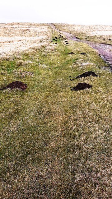
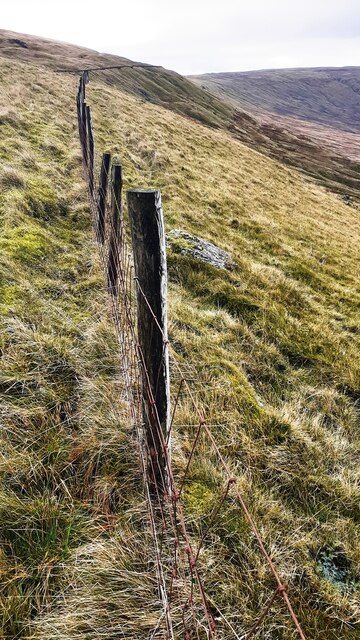
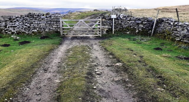
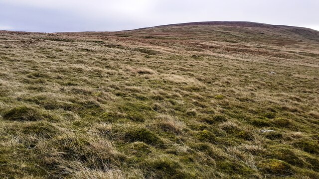
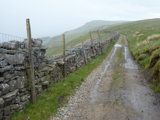
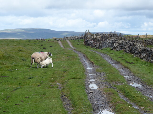
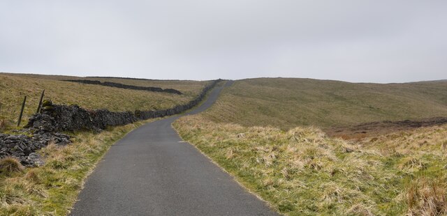
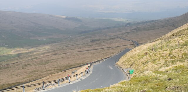
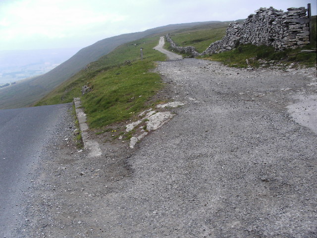
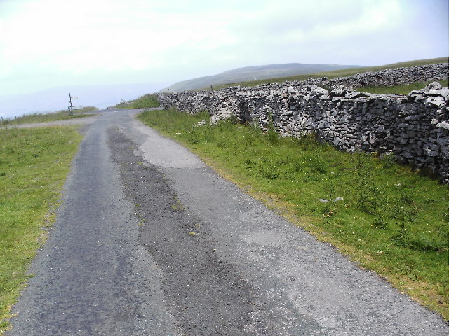
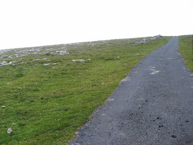
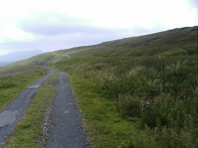
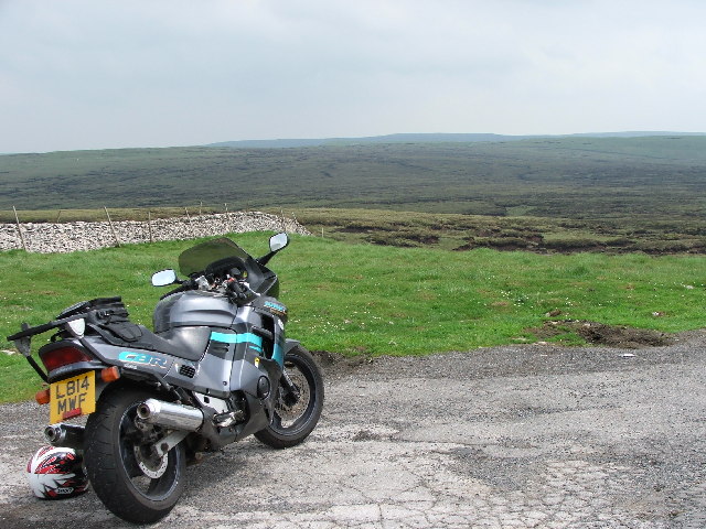
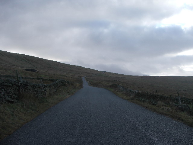
Covering an area of approximately 500 hectares, West Duerley Pasture is characterized by its rolling hills, rugged moorlands, and lush grasslands. The landscape is dotted with ancient stone walls and scattered with sheep grazing peacefully, adding to the idyllic charm of the area.

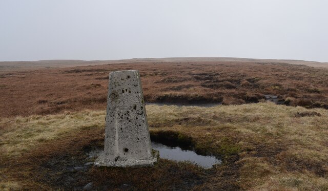
The pasture is home to a rich variety of flora and fauna, making it a prime spot for wildlife enthusiasts. Visitors can often spot various species of birds, including skylarks and curlews, soaring above the meadows. The moorland areas are also home to heather and gorse, creating a vibrant display of colors during the summer months.

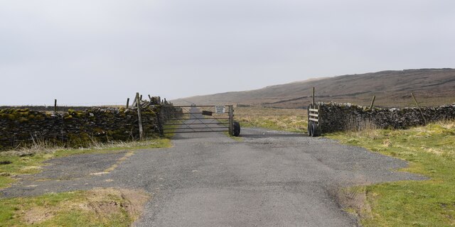
West Duerley Pasture offers numerous walking trails and paths, allowing visitors to explore the area at their own pace. From leisurely strolls to more challenging hikes, there is something for everyone. The panoramic views from the higher points of the pasture are simply breathtaking, offering a stunning backdrop of the surrounding Yorkshire countryside.

The area is also of historical significance, with traces of ancient settlements and burial grounds dating back centuries. Archaeological enthusiasts can discover remnants of past civilizations, adding an extra layer of intrigue to the landscape.

Overall, West Duerley Pasture is a true gem within the Yorkshire Downs, offering visitors a chance to immerse themselves in the beauty of nature and experience the rich history of the region.

If you have any feedback on the listing, please let us know in the comments section below.

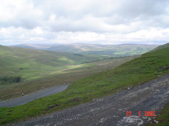
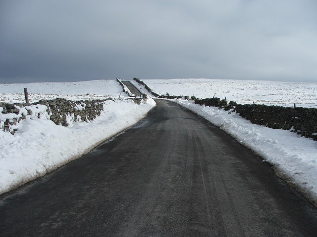
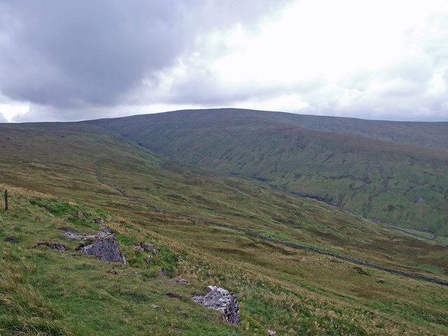
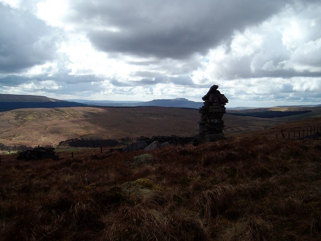
West Duerley Pasture Images

Images are sourced within 2km of 54.263198/-2.2205153 or Grid Reference SD8585. Thanks to Geograph Open Source API. All images are credited.

Molehills beside West Cam Road
Fence line on west side of West Cam Road at Spilling Moss Turf Ground
Gate across West Cam Road as it heads north
Area of shakeholes on Spilling Moss Turf Ground
The Pennine Way near Dodd Fell
The Pennine Way near West High Side
Triangulation pillar on Dodd fell hill. Damp and misty day in the Dales.
Triangulation pillar on Dodd fell hill.
Damp and misty day in the Dales.
North Gate on the Cam High Road Walking between Dodd Fell Hill and Wether Fell.
North Gate on the Cam High Road
Walking between Dodd Fell Hill and Wether Fell.
The Cam high road. High level route across the moors.
The Cam high road.
High level route across the moors.
Beggermans road. This road drops down to Hawes from the Cam high road.
Beggermans road.
This road drops down to Hawes from the Cam high road.
Cam High Road The Roman road comes down from Wether Fell to join the tarmac road climbing up from Wensleydale.
Cam High Road
The Roman road comes down from Wether Fell to join the tarmac road climbing up from Wensleydale.
Cam High Road The road from Cam Houses joins the Wensleydale to Wharfedale road. Wether Fell on the right-hand horizon.
Cam High Road
The road from Cam Houses joins the Wensleydale to Wharfedale road. Wether Fell on the right-hand horizon.
Cam High road Undistinguished limestone pasture by the road from Cam Houses.
Cam High road
Undistinguished limestone pasture by the road from Cam Houses.
Cam High road The Roman road diverts from its straight line to skirt Dodd Fell.

Ingleborough can be seen through the haze.
Cam High road
The Roman road diverts from its straight line to skirt Dodd Fell. Ingleborough can be seen through the haze.
Fleet Moss Looking east from the small car park on the Oughtershaw road.
Fleet Moss
Looking east from the small car park on the Oughtershaw road.
Beggermans Road. Runs S from Hawes up Sleddale and eventually brings you to Buckden.
Beggermans Road.
Runs S from Hawes up Sleddale and eventually brings you to Buckden.
Duerley  Bottom Sleddale with Wild Boar Fell (L), Great Shunner Fell and Lovely Seat (R) in the distance.
Duerley Bottom
Sleddale with Wild Boar Fell (L), Great Shunner Fell and Lovely Seat (R) in the distance.
The Oughtershaw Road at Green Side. Taken a week after heavy snowfall in the Dales.  Looking SE.
The Oughtershaw Road at Green Side.
Taken a week after heavy snowfall in the Dales. Looking SE.
Show me another place!

West Duerley Pasture is located at Grid Ref: SD8585 (Lat: 54.263198, Lng: -2.2205153)

Division: North Riding

Administrative County: North Yorkshire

District: Richmondshire

Police Authority: North Yorkshire

What 3 Words

///interval.used.cherubs. Near Ingleton, North Yorkshire

Related Wikis

Yorkshire Dales National Park

The Yorkshire Dales National Park is a 2,178 km2 (841 sq mi) national park in England covering most of the Yorkshire Dales, with the notable exception...

Dodd Fell Hill

Dodd Fell Hill is a hill in the Yorkshire Dales, in North Yorkshire, England. It is classed as a Marilyn (a hill with topographic prominence of at least...

Fleet Moss

Fleet Moss is a upland area separating Wharfedale from Wensleydale in North Yorkshire, England. The area is 1,850 ft (560 m) above sea level (although...

Wether Fell

Wether Fell (archaically Wetherfell), also known as Drumaldrace (the name of its summit), is a mountain in the Yorkshire Dales National Park, in North...

Nearby Amenities

Located within 500m of 54.263198,-2.2205153
West Duerley Pasture
Is In Country Code: GB
Is In County: North Yorkshire
Is In Municipality: Richmondshire
Natural: fell
Source: OS 1:25k
Lat/Long: 54.2653496/-2.2170829
Bank Gill Colliery
Historic: mine
Mineral: coal
Source: OS 1:25k;OS 1853
Lat/Long: 54.2634785/-2.2245504
lime kiln
Historic: archaeological_site
Mineral: limestone
Source: OS 1853
Lat/Long: 54.2616772/-2.2265301
old coal pit
Historic: mine_shaft
Mineral: coal
Source: OS 1853
Source Mineral: OS 1853
Lat/Long: 54.2618056/-2.226396
The data included in this document is from www.openstreetmap.org. The data is made available under ODbL.

Have you been to West Duerley Pasture?

Leave your review of West Duerley Pasture below (or comments, questions and feedback).