Tongue Moss Peat Ground
Downs, Moorland in Yorkshire Richmondshire
England
Tongue Moss Peat Ground
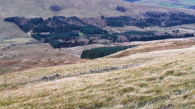
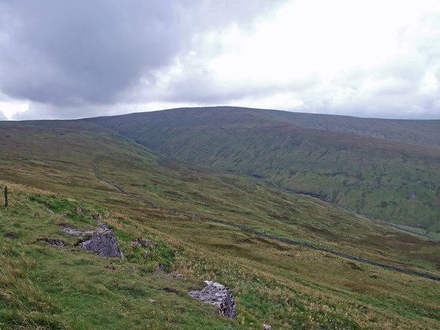
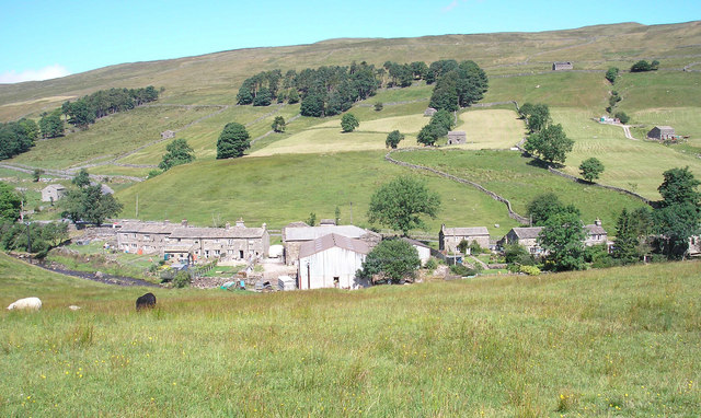
Tongue Moss Peat Ground is a unique and diverse landscape located in Yorkshire, England. Spread across the Yorkshire Downs and Moorland, this area is known for its extensive peat bogs and mossy terrain.
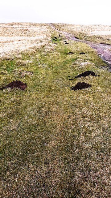
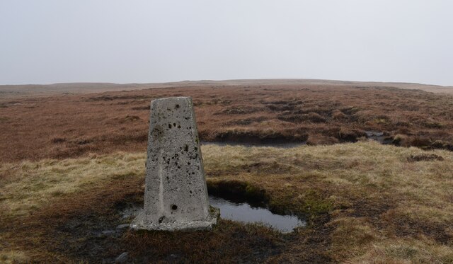
The peat ground consists of layers of decomposed plant material, primarily mosses, that have accumulated over thousands of years. This process has created a distinctive environment that supports a wide variety of plant and animal species. The peat acts as a natural sponge, retaining water and creating a habitat for rare and specialized flora and fauna.
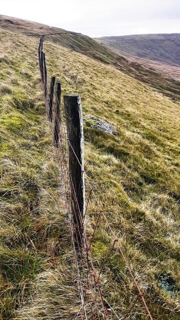
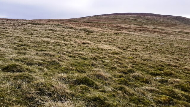
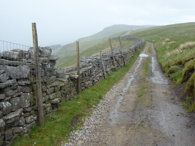
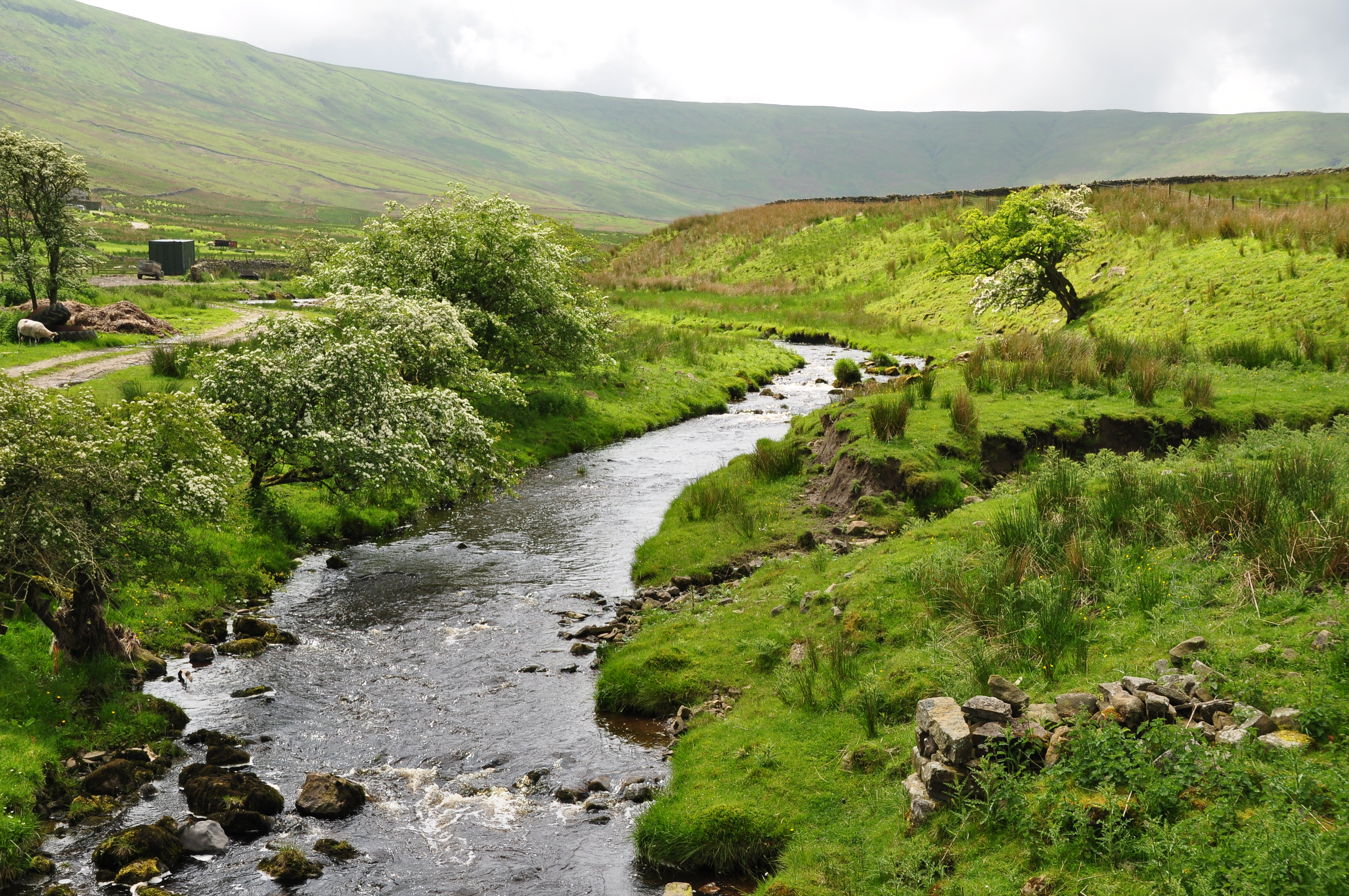
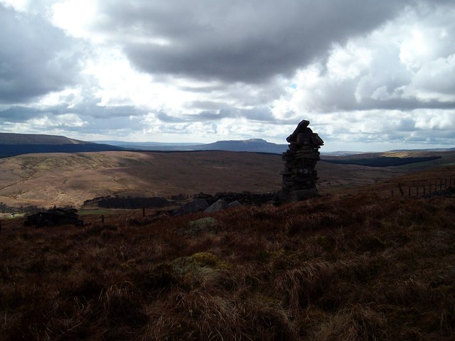
The Yorkshire Downs, with their gently rolling hills, provide the perfect backdrop for the peat ground. The moorland, on the other hand, is characterized by its open expanses, heather-covered hills, and scattered trees. Together, these contrasting landscapes create a visually stunning and ecologically rich area.
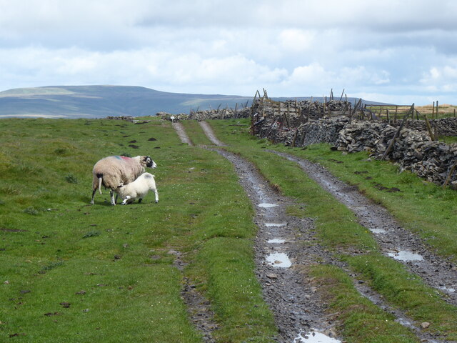
Wildlife thrives in the Tongue Moss Peat Ground, with species such as curlews, lapwings, and red grouse being commonly spotted. The area is also home to a range of plants, including cotton grass, sphagnum moss, and bog rosemary.
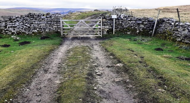
Visitors to this unique landscape can enjoy walking trails that wind through the peat bogs, offering breathtaking views of the surrounding countryside. The area is also popular with birdwatchers and nature enthusiasts, who come to observe the diverse range of species that call this place home.
Tongue Moss Peat Ground is not only a beautiful natural landscape but also an important ecosystem that requires conservation efforts. The preservation of this unique habitat is crucial to maintaining its biodiversity and ensuring its future for generations to come.
If you have any feedback on the listing, please let us know in the comments section below.
Tongue Moss Peat Ground Images
Images are sourced within 2km of 54.265598/-2.2298321 or Grid Reference SD8585. Thanks to Geograph Open Source API. All images are credited.


Tongue Moss Peat Ground is located at Grid Ref: SD8585 (Lat: 54.265598, Lng: -2.2298321)
Division: North Riding
Administrative County: North Yorkshire
District: Richmondshire
Police Authority: North Yorkshire
What 3 Words
///madder.figure.essay. Near Ingleton, North Yorkshire
Nearby Locations
Related Wikis
Dodd Fell Hill
Dodd Fell Hill is a hill in the Yorkshire Dales, in North Yorkshire, England. It is classed as a Marilyn (a hill with topographic prominence of at least...

Yorkshire Dales National Park
The Yorkshire Dales National Park is a 2,178 km2 (841 sq mi) national park in England covering most of the Yorkshire Dales, with the notable exception...
Snaizeholme
Snaizeholme is a small side valley of Wensleydale in the Yorkshire Dales National Park (YDNP), North Yorkshire, England. The valley is noted for its red...
Fleet Moss
Fleet Moss is a upland area separating Wharfedale from Wensleydale in North Yorkshire, England. The area is 1,850 ft (560 m) above sea level (although...

Wether Fell
Wether Fell (archaically Wetherfell), also known as Drumaldrace (the name of its summit), is a mountain in the Yorkshire Dales National Park, in North...
Gayle, North Yorkshire
Gayle is a hamlet 0.4-mile (0.64 km) south of Hawes in Wensleydale, North Yorkshire, England. It is noted for the beck that flows through it and the old...

Gayle Mill, North Yorkshire
Gayle Mill, dating from about 1784, is thought to be the oldest structurally unaltered cotton mill in existence. It is located in the Wensleydale hamlet...
Oughtershaw
Oughtershaw is a hamlet in the Yorkshire Dales, North Yorkshire, England. It lies on a road it shares with other small villages; Deepdale, Yockenthwaite...
Nearby Amenities
Located within 500m of 54.265598,-2.2298321Have you been to Tongue Moss Peat Ground?
Leave your review of Tongue Moss Peat Ground below (or comments, questions and feedback).