Thwaite Common
Downs, Moorland in Yorkshire Richmondshire
England
Thwaite Common

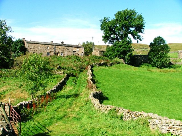
Thwaite Common is a picturesque area located in the county of Yorkshire, England. Situated amidst the stunning Yorkshire Downs and Moorland, this common is a haven for nature enthusiasts and those seeking tranquility in the midst of natural beauty.
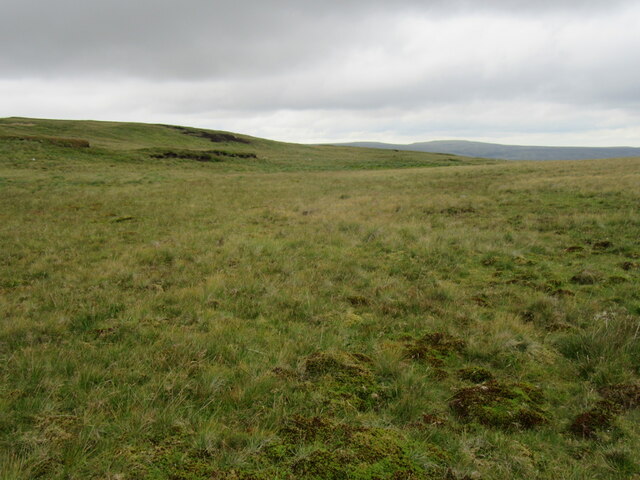
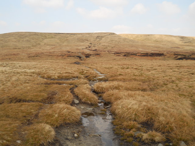
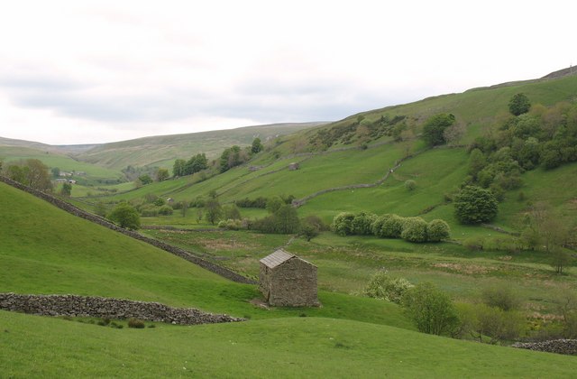
Covering a vast expanse of land, Thwaite Common offers visitors a diverse range of flora and fauna. The rolling hills and open meadows are adorned with vibrant wildflowers during the warmer months, creating a colorful tapestry across the landscape. The area is also home to a variety of bird species, including skylarks and red grouse, making it a popular spot for birdwatching.
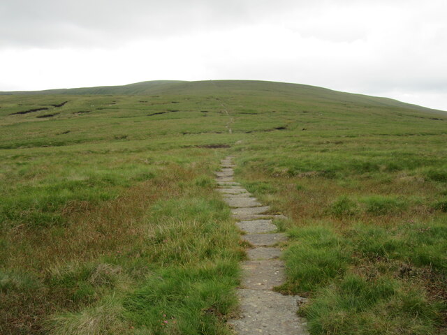
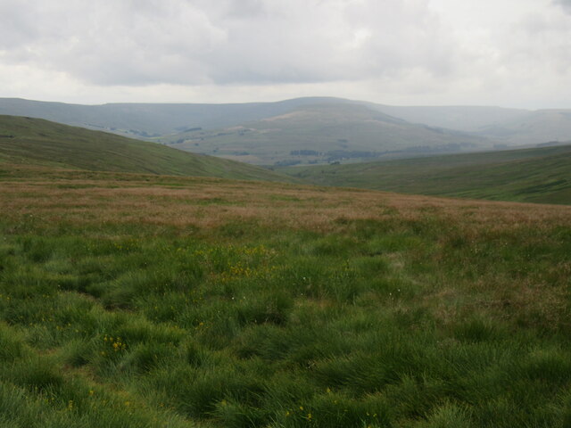
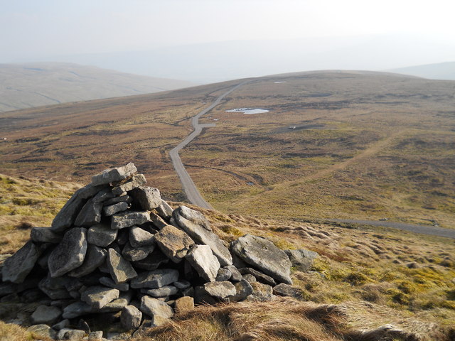
The common is crisscrossed by several walking trails, allowing visitors to explore the area at their own pace. These well-maintained paths lead to breathtaking viewpoints, offering panoramic vistas of the surrounding countryside. On clear days, one can catch glimpses of the distant moorland and the majestic peaks of the Yorkshire Dales.
Thwaite Common is not only a haven for wildlife but also serves as an important grazing ground for livestock. Sheep can often be seen grazing on the lush green grass, adding to the bucolic charm of the area. The common is also home to a small village, where visitors can find charming cottages and a welcoming community.
Overall, Thwaite Common is a hidden gem in Yorkshire, offering a unique blend of natural beauty and rural charm. Whether one is looking to immerse themselves in the tranquility of nature or simply take in the breathtaking views, this common is a must-visit destination for those exploring the Yorkshire region.
If you have any feedback on the listing, please let us know in the comments section below.
Thwaite Common Images
Images are sourced within 2km of 54.370298/-2.2204737 or Grid Reference SD8597. Thanks to Geograph Open Source API. All images are credited.


Thwaite Common is located at Grid Ref: SD8597 (Lat: 54.370298, Lng: -2.2204737)
Division: North Riding
Administrative County: North Yorkshire
District: Richmondshire
Police Authority: North Yorkshire
What 3 Words
///agrees.connected.bagpipes. Near Kirkby Stephen, Cumbria
Nearby Locations
Related Wikis

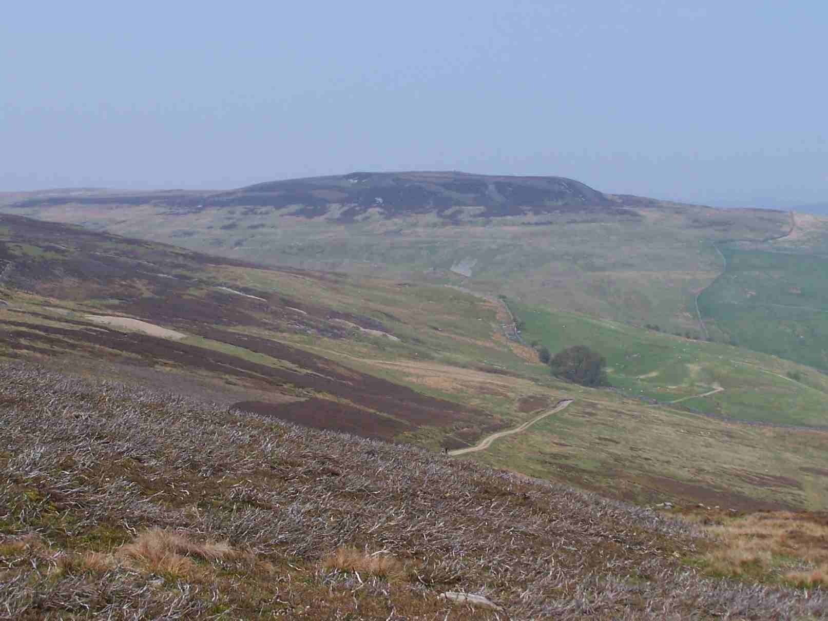
Great Shunner Fell
Great Shunner Fell is the third highest mountain in the Yorkshire Dales, North Yorkshire, England, and the highest point in Wensleydale; at 716 metres...
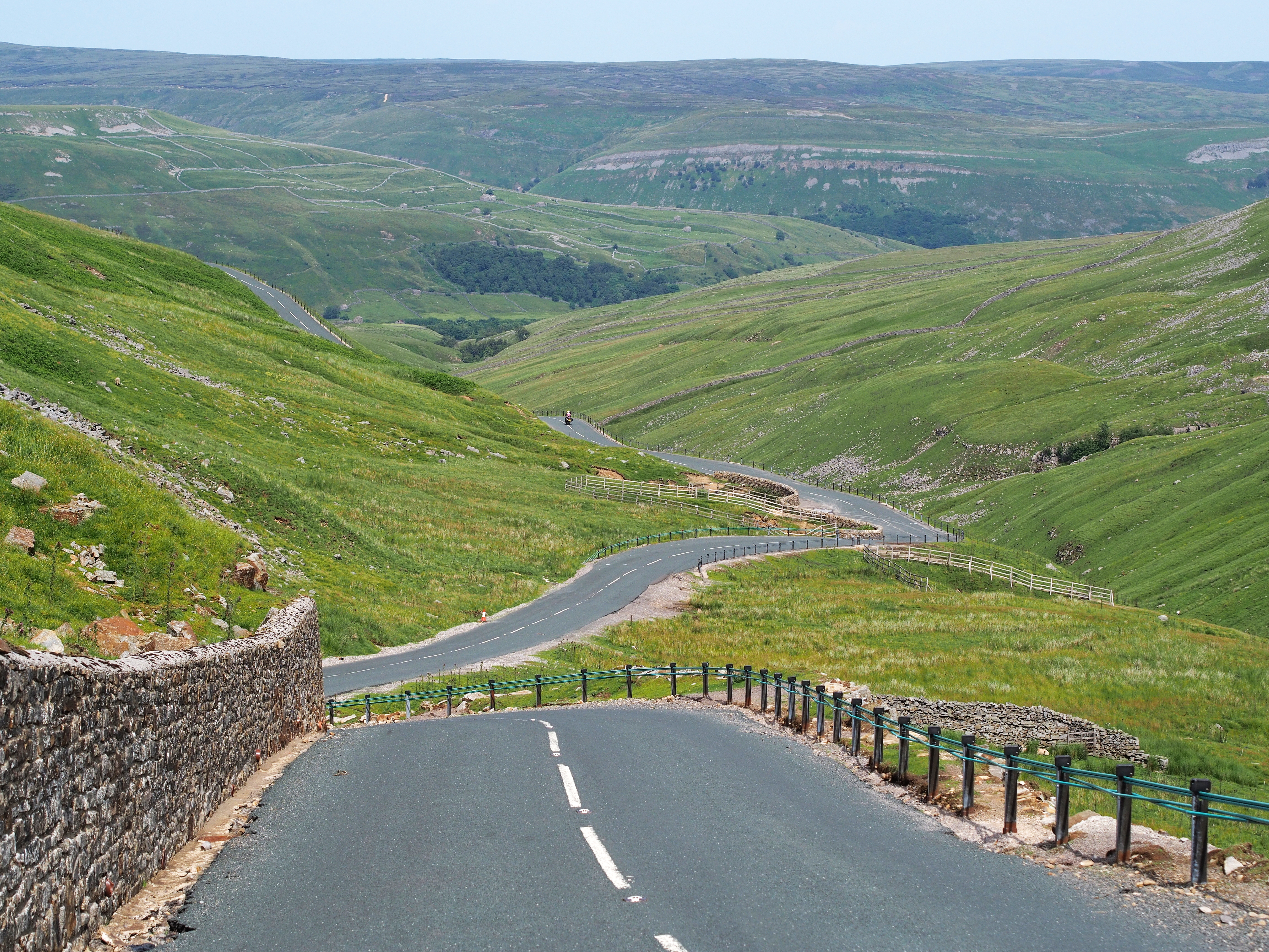
Buttertubs Pass
The Buttertubs Pass is a high road in the Yorkshire Dales, England. The road winds its way north from Simonstone near Hawes towards Thwaite and Muker past...
Lovely Seat
Lovely Seat, originally known as Lunasett until being misnamed by map makers some time in the twentieth century, is a fell in the Yorkshire Dales National...
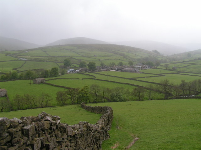
Thwaite, North Yorkshire
Thwaite is a small village in the Yorkshire Dales, North Yorkshire, England. It is in Swaledale and is part the district of Richmondshire and the civil...
Angram, Richmondshire
Angram is a hamlet in the Yorkshire Dales in the Richmondshire district of North Yorkshire, England. It is situated near to Keld to the north and Thwaite...

Cotterdale
Cotterdale is a small side dale and hamlet on the north side of Wensleydale in North Yorkshire, England. The dale lies to the west of Great Shunner Fell...
Angram Bottoms
Angram Bottoms (grid reference SD891999) is a 9.8 hectares (24 acres) biological Site of Special Scientific Interest (SSSI) near to the village of Angram...

Kisdon
Kisdon, also called Kisdon Hill, is a fell situated in upper Swaledale in the Yorkshire Dales National Park in North Yorkshire, England. == Geography... ==
Nearby Amenities
Located within 500m of 54.370298,-2.2204737Have you been to Thwaite Common?
Leave your review of Thwaite Common below (or comments, questions and feedback).