Agarshill Fell
Downs, Moorland in Northumberland
England
Agarshill Fell

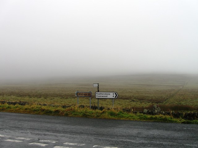
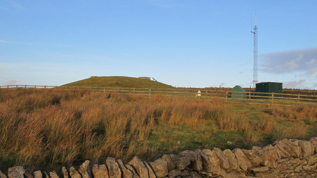
Agarshill Fell is located in Northumberland, a county in northeast England. It is a prominent natural feature that consists of downs and moorland, making it a popular destination for outdoor enthusiasts and nature lovers alike. The fell is situated within the Northumberland National Park, which is known for its stunning landscapes and diverse wildlife.
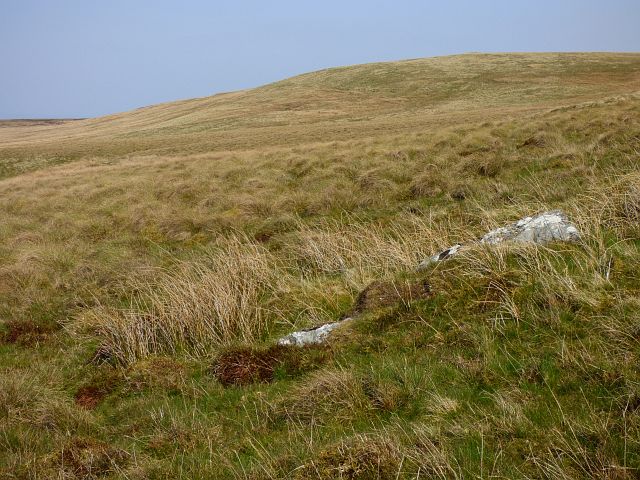
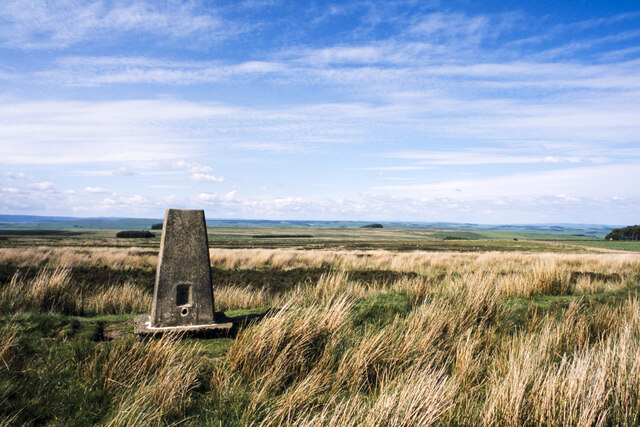
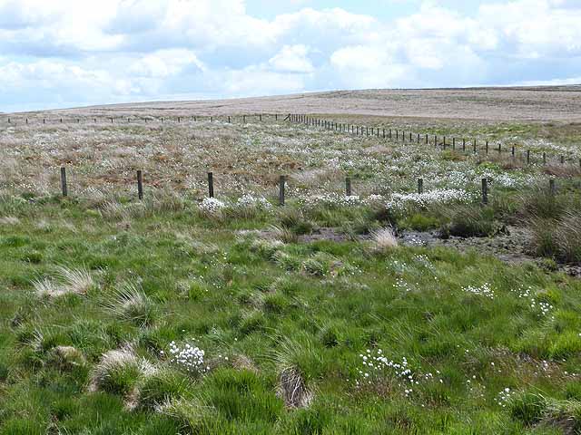
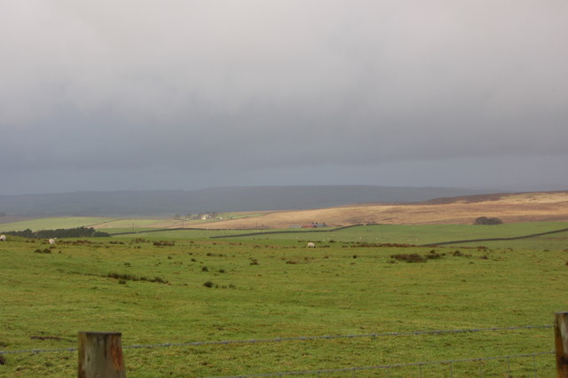
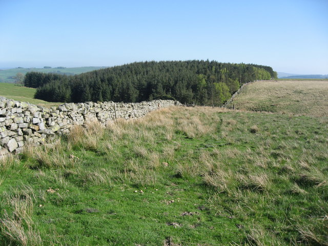
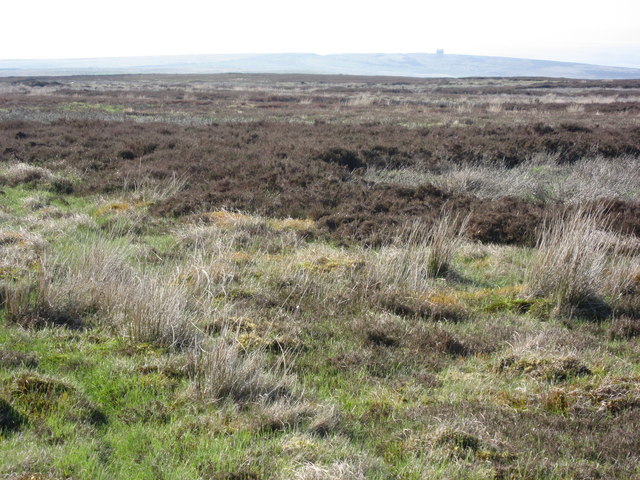
Agarshill Fell offers breathtaking views of the surrounding countryside, with its rolling hills, expansive moors, and picturesque valleys. The area is characterized by its rugged terrain, with steep slopes and rocky outcrops adding to its dramatic appeal. The fell is covered in a mix of grasses, heather, and other wildflowers, creating a vibrant and colorful landscape throughout the year.
The fell is also home to a variety of wildlife, including several bird species such as curlews, lapwings, and skylarks. Visitors may also spot rabbits, hares, and even the occasional red squirrel. The area is a haven for birdwatching enthusiasts, with its open spaces and diverse habitat attracting a wide range of species.
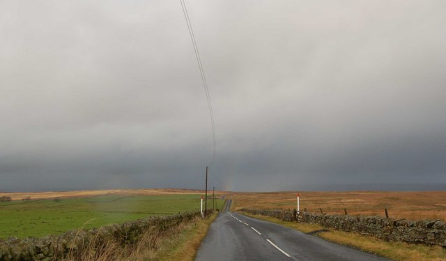
Agarshill Fell offers opportunities for various outdoor activities, such as hiking, cycling, and horseback riding. There are several well-marked trails that wind their way through the fell, allowing visitors to explore its natural beauty at their own pace. The area is also popular among photographers, who are drawn to its stunning vistas and unique flora and fauna.
Overall, Agarshill Fell is a remarkable natural feature in Northumberland, offering visitors a chance to immerse themselves in the beauty of the English countryside.
If you have any feedback on the listing, please let us know in the comments section below.
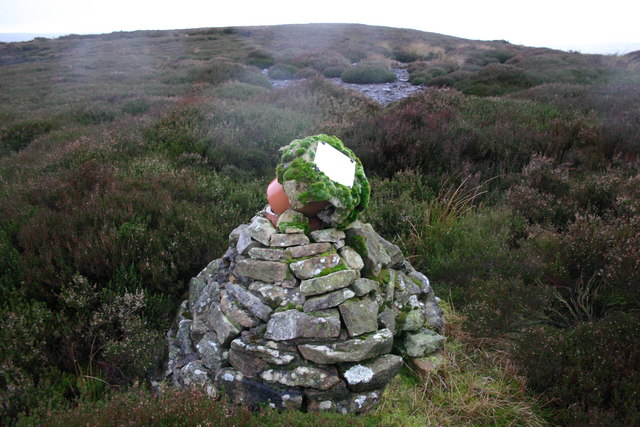
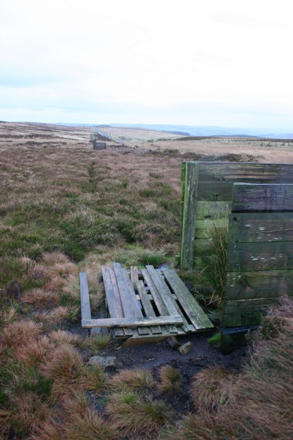
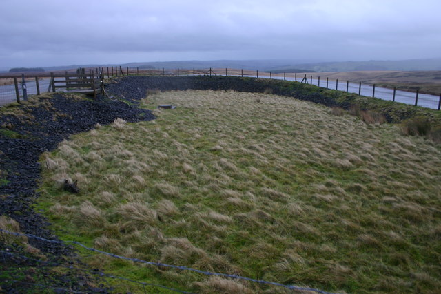
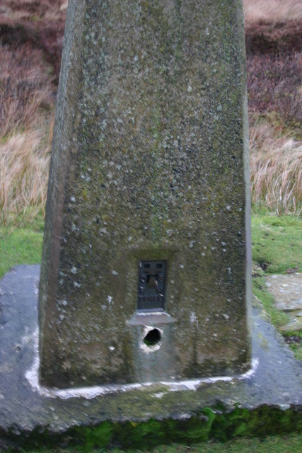
Agarshill Fell Images
Images are sourced within 2km of 54.921754/-2.3930283 or Grid Reference NY7458. Thanks to Geograph Open Source API. All images are credited.


Agarshill Fell is located at Grid Ref: NY7458 (Lat: 54.921754, Lng: -2.3930283)
Unitary Authority: Northumberland
Police Authority: Northumbria
What 3 Words
///deranged.plugs.awakening. Near Bardon Mill, Northumberland
Nearby Locations
Related Wikis

Whitfield, Northumberland
Whitfield is a village and former civil parish, now in the parish of Plenmeller with Whitfield, in the county of Northumberland, England about 10 miles...

Bearsbridge
Bearsbridge is a village in Northumberland, in England. It is situated to the west of Hexham, on the A686. == Governance == Bearsbridge is in the parliamentary...

Coanwood Friends Meeting House
Coanwood Friends Meeting House is a redundant Quaker meeting house under the care of the Historic Chapels Trust. It stands in an isolated, sparsely populated...
Unthank, Haltwhistle
Unthank is a village near Haltwhistle in Northumberland, England. It is first mentioned in writing as Unthanc around 1200. == Governance == Unthank is...

Unthank Hall
Unthank Hall is a Grade II listed property now serving as commercial offices, situated on the southern bank of the River South Tyne east of Plenmeller...

Allen Confluence Gravels
The Allen Confluence Gravels is the name given to a Site of Special Scientific Interest (SSSI) in Northumberland, England. The site, listed since 1968...
Melkridge
Melkridge is a village and civil parish in Northumberland, England, on the river South Tyne. The village of Melkridge is in the south of the parish, and...
Briarwood Banks
Briarwood Banks is the name given to a woodland Site of Special Scientific Interest (SSSI) in north Northumberland, North East England. Composed mainly...
Nearby Amenities
Located within 500m of 54.921754,-2.3930283Have you been to Agarshill Fell?
Leave your review of Agarshill Fell below (or comments, questions and feedback).