Witchhall Moss
Downs, Moorland in Northumberland
England
Witchhall Moss
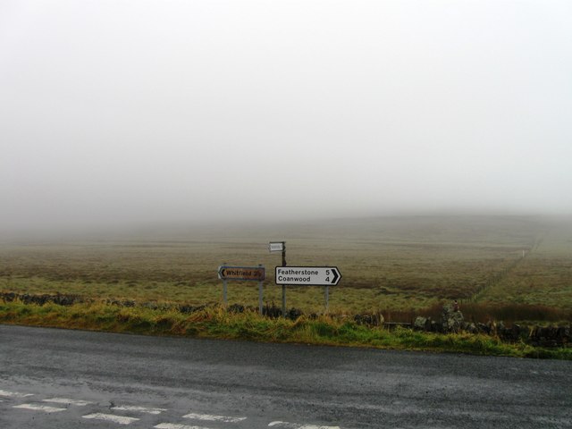
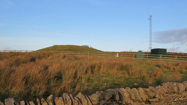
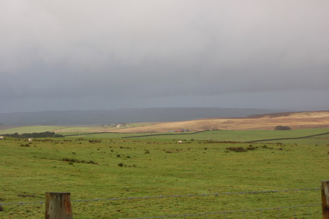
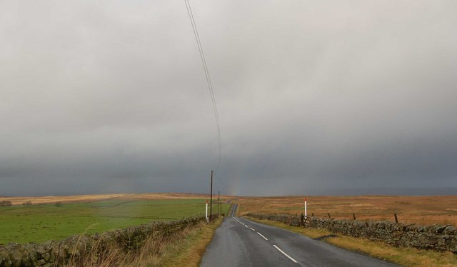
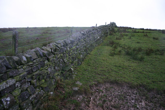
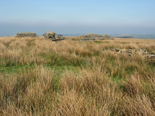
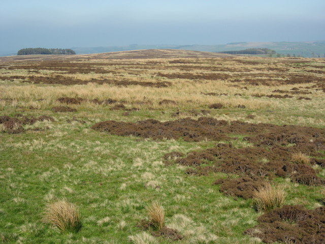
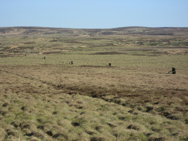
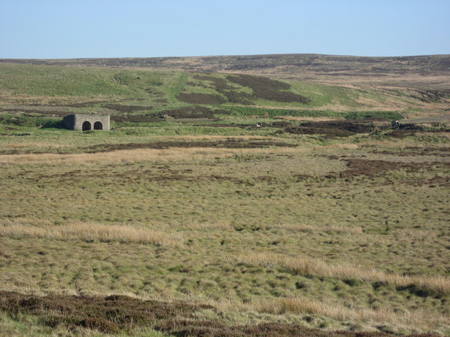
Witchhall Moss is a picturesque area located in Northumberland, England, known for its stunning natural beauty and diverse landscape. Situated amidst the Downs and Moorland, Witchhall Moss offers a unique blend of rolling hills, open grasslands, and expansive moors.
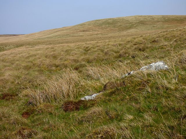
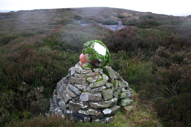
Covering an area of approximately 100 acres, Witchhall Moss is a haven for nature enthusiasts and outdoor adventurers. The moss is characterized by its rich and fertile soil, which supports a wide variety of plant species, including heather, bracken, and wild grasses. The vibrant colors of the flora create a breathtaking sight, especially during the summer months when the moorland is in full bloom.
The area is also home to an array of wildlife, making it a popular destination for birdwatchers and animal lovers. Visitors to Witchhall Moss may have the chance to spot several species of birds, such as curlews, lapwings, and red grouse. Mammals, including hares and rabbits, can also be seen roaming freely in the open grasslands.
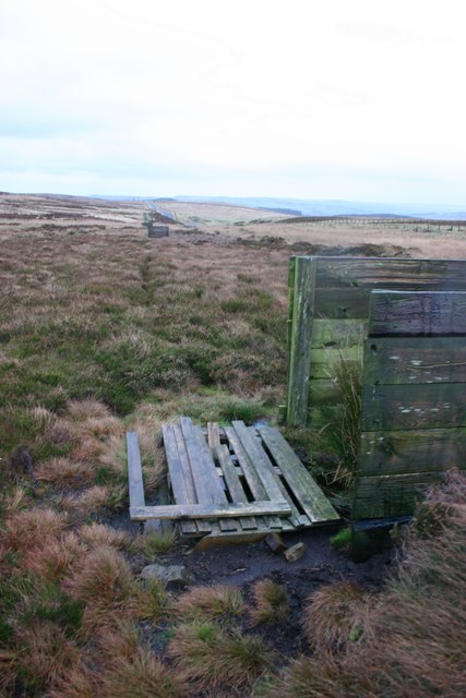
Moreover, Witchhall Moss offers numerous walking and hiking trails that allow visitors to explore the area's natural wonders. The trails cater to all levels of fitness and offer stunning panoramic views of the surrounding countryside. The peaceful and tranquil ambiance of Witchhall Moss makes it an ideal place for those seeking solace and a break from the hustle and bustle of city life.
In conclusion, Witchhall Moss in Northumberland is a captivating destination that showcases the beauty of England's Downs and Moorland. With its diverse landscape, abundant wildlife, and scenic trails, Witchhall Moss offers an unforgettable experience for nature enthusiasts and those seeking an escape into the great outdoors.
If you have any feedback on the listing, please let us know in the comments section below.
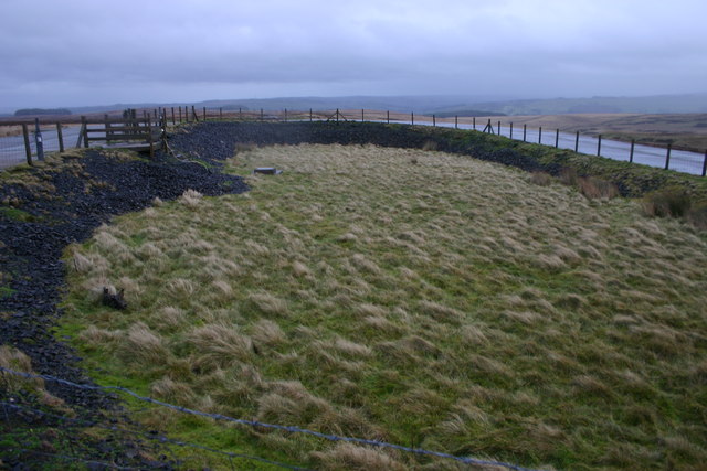
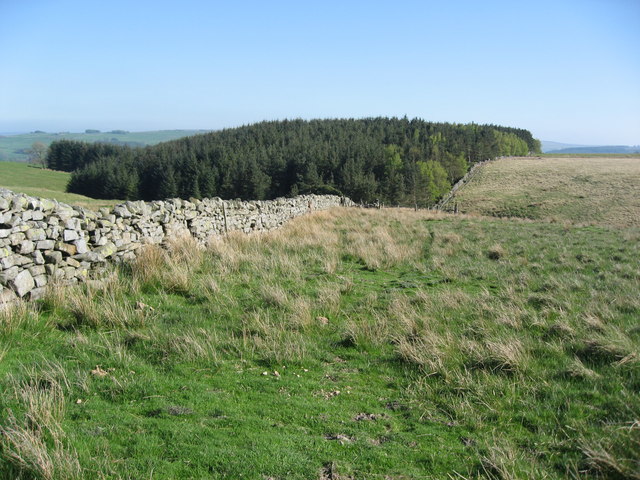
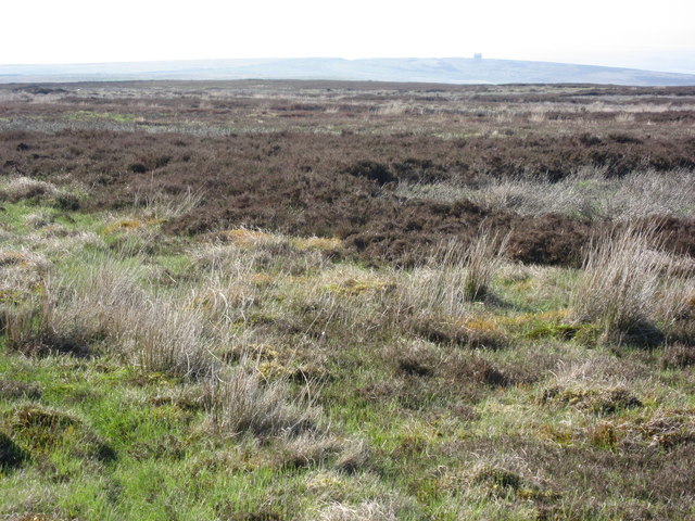
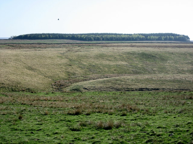
Witchhall Moss Images
Images are sourced within 2km of 54.916641/-2.3955525 or Grid Reference NY7458. Thanks to Geograph Open Source API. All images are credited.

![Fellhouse Fell (2) Looking roughly north-east from west of the top of Peat Hill (in [NY7559]]).](https://s0.geograph.org.uk/photos/42/23/422396_d6349b60.jpg)
Witchhall Moss is located at Grid Ref: NY7458 (Lat: 54.916641, Lng: -2.3955525)
Unitary Authority: Northumberland
Police Authority: Northumbria
What 3 Words
///mermaids.cheaply.spends. Near Bardon Mill, Northumberland
Nearby Locations
Related Wikis

Whitfield, Northumberland
Whitfield is a village and former civil parish, now in the parish of Plenmeller with Whitfield, in the county of Northumberland, England about 10 miles...

Bearsbridge
Bearsbridge is a village in Northumberland, in England. It is situated to the west of Hexham, on the A686. == Governance == Bearsbridge is in the parliamentary...

Coanwood Friends Meeting House
Coanwood Friends Meeting House is a redundant Quaker meeting house under the care of the Historic Chapels Trust. It stands in an isolated, sparsely populated...
Unthank, Haltwhistle
Unthank is a village near Haltwhistle in Northumberland, England. It is first mentioned in writing as Unthanc around 1200. == Governance == Unthank is...

Unthank Hall
Unthank Hall is a Grade II listed property now serving as commercial offices, situated on the southern bank of the River South Tyne east of Plenmeller...

Allen Confluence Gravels
The Allen Confluence Gravels is the name given to a Site of Special Scientific Interest (SSSI) in Northumberland, England. The site, listed since 1968...
Melkridge
Melkridge is a village and civil parish in Northumberland, England, on the river South Tyne. The village of Melkridge is in the south of the parish, and...

Ninebanks
Ninebanks is a small village in south west Northumberland, England in the North Pennines Area of Outstanding Natural Beauty 8 miles (13 km) north-east...
Nearby Amenities
Located within 500m of 54.916641,-2.3955525Have you been to Witchhall Moss?
Leave your review of Witchhall Moss below (or comments, questions and feedback).