Slatequarry Cleugh

Valley in Northumberland

England

Slatequarry Cleugh

Silvery highland cattle on Plenmeller Common
Silvery highland cattle on Plenmeller Common Credit: Mike Quinn

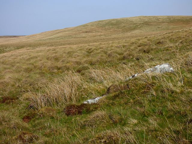
Slatequarry Cleugh is a picturesque valley located in Northumberland, England. Nestled in the northern part of the county, it is renowned for its natural beauty and rich geological history. The cleugh, which is a local term for a narrow valley, is named after the presence of slate quarries that were once active in the area.

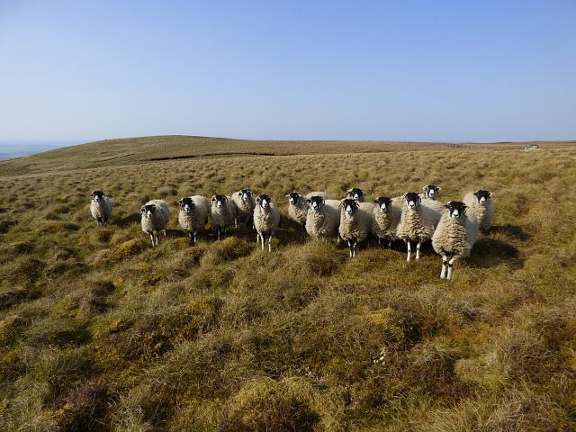
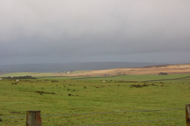
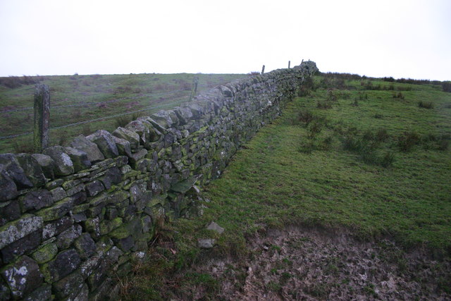
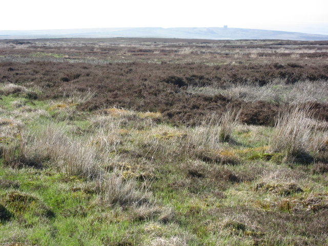
Surrounded by rolling hills and lush greenery, Slatequarry Cleugh offers stunning panoramic views of the Northumberland countryside. The valley is traversed by a small stream that meanders through the landscape, adding to its charm and tranquility. The diverse flora and fauna that call this place home create a thriving ecosystem, making it a haven for nature enthusiasts and photographers.

The slate quarries that once operated in Slatequarry Cleugh were a significant part of the local industry. The slate, known for its durability and unique color variations, was highly sought after for roofing and building materials. Today, remnants of the quarries can still be seen, adding a touch of history to the valley.

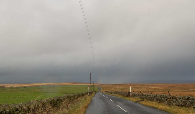
Visitors to Slatequarry Cleugh can enjoy a variety of outdoor activities, such as hiking, birdwatching, and photography. The valley is crisscrossed with footpaths that lead to breathtaking viewpoints and hidden gems. As part of Northumberland's designated Area of Outstanding Natural Beauty, Slatequarry Cleugh offers an idyllic escape from the hustle and bustle of city life.

In summary, Slatequarry Cleugh is a captivating valley in Northumberland, characterized by its natural beauty, historic slate quarries, and abundant wildlife. Its tranquil atmosphere and stunning vistas make it a must-visit destination for nature lovers and those seeking respite in the great outdoors.

If you have any feedback on the listing, please let us know in the comments section below.

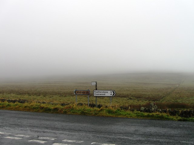
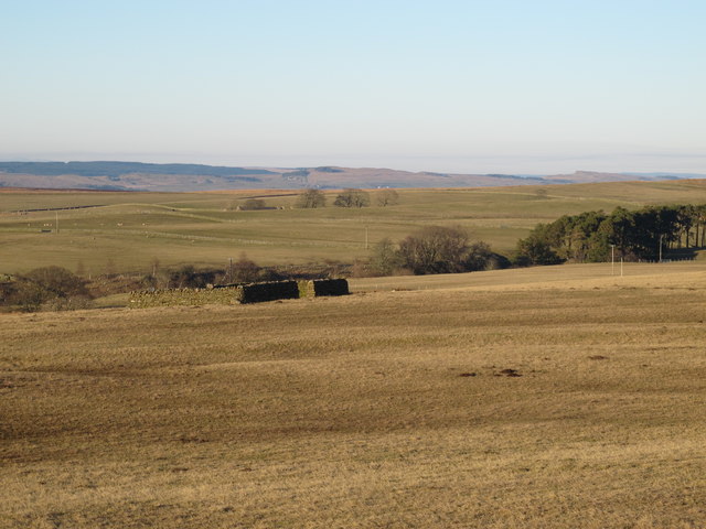
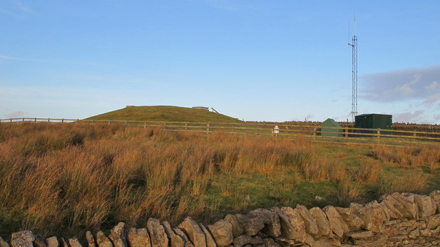
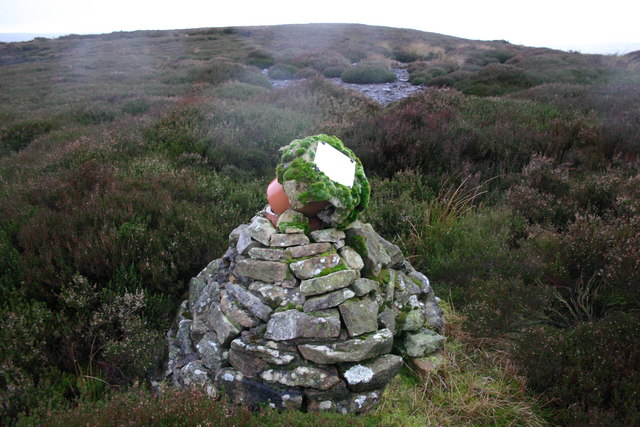
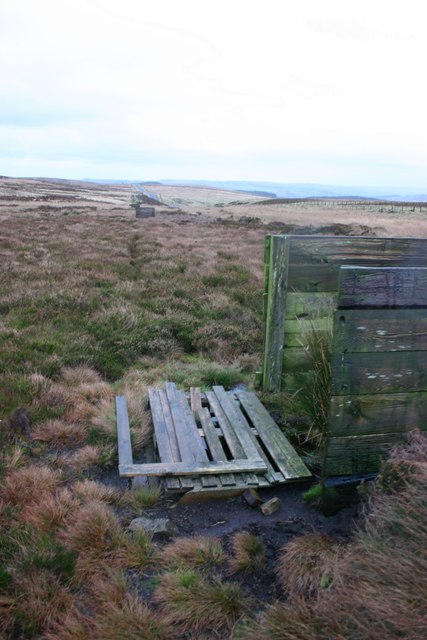
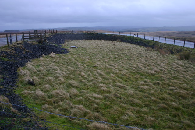
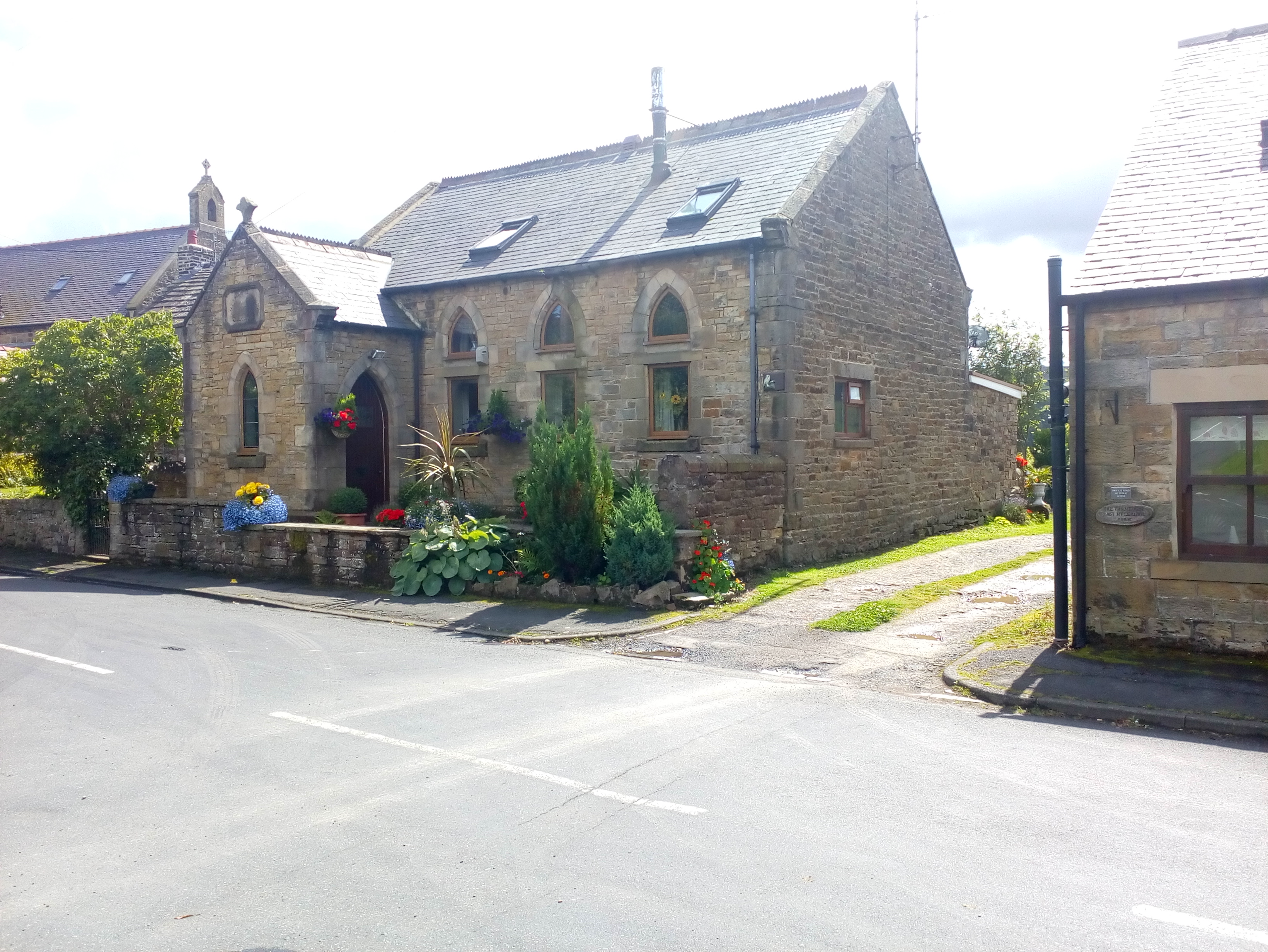
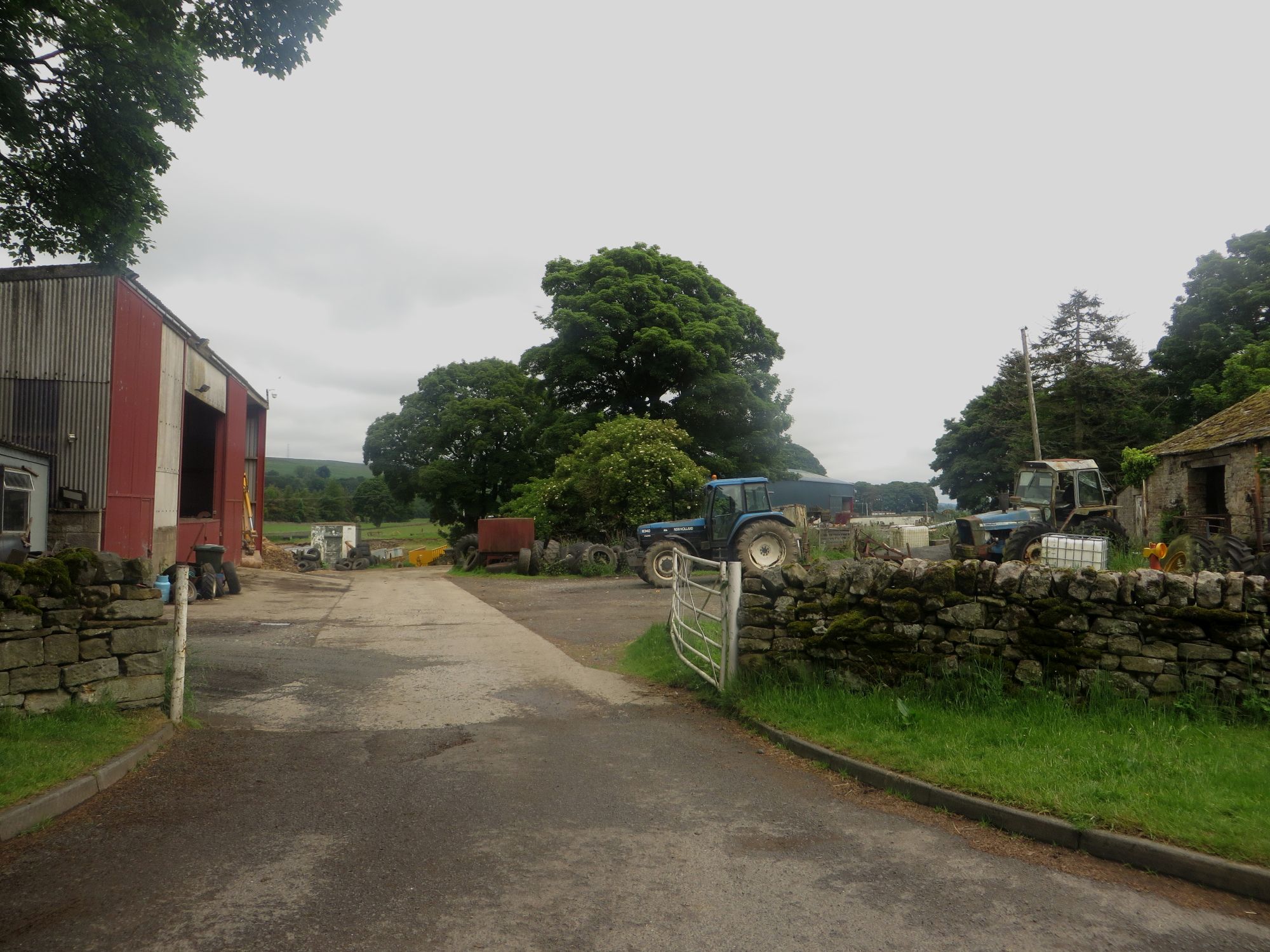
Slatequarry Cleugh Images

Images are sourced within 2km of 54.916985/-2.4003139 or Grid Reference NY7458. Thanks to Geograph Open Source API. All images are credited.

Silvery highland cattle on Plenmeller Common
Road junction
Road junction
Sheepfold west of Wolf Hills (2) The view is from slightly further west than that in <a href="https://www.geograph.org.uk/photo/3340920">NY7258 : Sheepfold west of Wolf Hills</a>, looking NNE. The building in the middle distance directly in line with the sheepfold (the roof is just visible near a small clump of trees) is Limestones on the farm track to <a href="https://www.geograph.org.uk/photo/3340920">NY7258 : Sheepfold west of Wolf Hills</a>. On the same line of sight, the buildings in the far distance, below a small plantation, are those at <a href="https://www.geograph.org.uk/photo/750602">NY7768 : Hotbank Farm</a> on Hadrian's Wall, some seven miles away. On the horizon (right) are <a href="https://www.geograph.org.uk/photo/503226">NY7969 : Sewingshield Crags</a>.
Sheepfold west of Wolf Hills (2)
The view is from slightly further west than that in NY7258 : Sheepfold west of Wolf Hills, looking NNE. The building in the middle distance directly in line with the sheepfold (the roof is just visible near a small clump of trees) is Limestones on the farm track to NY7258 : Sheepfold west of Wolf Hills. On the same line of sight, the buildings in the far distance, below a small plantation, are those at NY7768 : Hotbank Farm on Hadrian's Wall, some seven miles away. On the horizon (right) are NY7969 : Sewingshield Crags.
Pond on Limestones Fell
Pond near Limestones
Secret nuclear bunker, Plenmeller Not really: it’s a covered reservoir.
Secret nuclear bunker, Plenmeller
Not really: it’s a covered reservoir.
Moorland, Coanwood Sheep to the south of Humble Dodd.
Moorland, Coanwood
Sheep to the south of Humble Dodd.
Moorland, Coanwood
Moorland, Coanwood
Moorland, Coanwood
Moorland, Coanwood
Moorland, Coanwood
Moorland, Coanwood
Plenmeller Common
Plenmeller Common
Road across Limestone Fell
Wolf Hills Burn The remains of extensive mining activity are visible all around
Wolf Hills Burn
The remains of extensive mining activity are visible all around
Stone wall and fence Vanilla scenery - even walls are few and far between.  Typically walls are no longer fully repaired, instead a single or double strand of barbed wire is rested on poles against the wall.
Stone wall and fence
Vanilla scenery - even walls are few and far between. Typically walls are no longer fully repaired, instead a single or double strand of barbed wire is rested on poles against the wall.
Cairn A drainage pipe has apparently been co-opted to form the centre of this cairn.
The position is at approx 100m east of the mapped symbol on the 1:25000.
Cairn
A drainage pipe has apparently been co-opted to form the centre of this cairn. The position is at approx 100m east of the mapped symbol on the 1:25000.
Disused Shooting Butts This bare moorland is used for grouse shooting.
Disused Shooting Butts
This bare moorland is used for grouse shooting.
Military Installation The summit of Peat Hill has this loop of concrete (150m x 50m) with steps leading into the centre.  There are remains of electrical cabling, and a wiring cabinet survives intact on the NE corner. 

There is a similar feature near summit of Larriston Fell at NY561914. 

This is apparently earthing cable for RAF equipment, same applies to Larriston Fell and all the other military installations in the area
Military Installation
The summit of Peat Hill has this loop of concrete (150m x 50m) with steps leading into the centre. There are remains of electrical cabling, and a wiring cabinet survives intact on the NE corner. There is a similar feature near summit of Larriston Fell at NY561914. This is apparently earthing cable for RAF equipment, same applies to Larriston Fell and all the other military installations in the area
Fellhouse Fell near Peat Hill looking north-west across Plenmeller Common, with The Beacon in the top right hand corner of <a href="https://www.geograph.org.uk/gridref/NY7260">NY7260</a> (just) visible on the horizon.
Fellhouse Fell near Peat Hill
looking north-west across Plenmeller Common, with The Beacon in the top right hand corner of NY7260 (just) visible on the horizon.
Show me another place!

Slatequarry Cleugh is located at Grid Ref: NY7458 (Lat: 54.916985, Lng: -2.4003139)

Unitary Authority: Northumberland

Police Authority: Northumbria

What 3 Words

///proofread.films.crowned. Near Haltwhistle, Northumberland

Related Wikis

Whitfield, Northumberland

Whitfield is a village and former civil parish, now in the parish of Plenmeller with Whitfield, in the county of Northumberland, England about 10 miles...

Coanwood Friends Meeting House

Coanwood Friends Meeting House is a redundant Quaker meeting house under the care of the Historic Chapels Trust. It stands in an isolated, sparsely populated...

Bearsbridge

Bearsbridge is a village in Northumberland, in England. It is situated to the west of Hexham, on the A686. == Governance == Bearsbridge is in the parliamentary...

Unthank, Haltwhistle

Unthank is a village near Haltwhistle in Northumberland, England. It is first mentioned in writing as Unthanc around 1200. == Governance == Unthank is...

Unthank Hall

Unthank Hall is a Grade II listed property now serving as commercial offices, situated on the southern bank of the River South Tyne east of Plenmeller...

Allen Confluence Gravels

The Allen Confluence Gravels is the name given to a Site of Special Scientific Interest (SSSI) in Northumberland, England. The site, listed since 1968...

Melkridge

Melkridge is a village and civil parish in Northumberland, England, on the river South Tyne. The village of Melkridge is in the south of the parish, and...

Plenmeller

Plenmeller is a village and former civil parish, now in the parish of Plenmeller with Whitfield, in Northumberland, England about a mile (1½ km) southeast...

Nearby Amenities

Located within 500m of 54.916985,-2.4003139
Dykerow Fell
Place: locality
Lat/Long: 54.9160022/-2.3935324
Slatequarry Cleugh
Place: locality
Lat/Long: 54.9170651/-2.3999873
Witchall Moss
Place: locality
Lat/Long: 54.9171927/-2.3964188
The data included in this document is from www.openstreetmap.org. The data is made available under ODbL.

Have you been to Slatequarry Cleugh?

Leave your review of Slatequarry Cleugh below (or comments, questions and feedback).